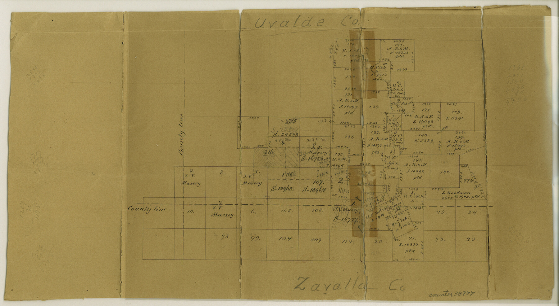
Uvalde County Sketch File 12
[Office sketch and field notes of connecting lines run in the southwest corner of the county]
-
Map/Doc
38977
-
Collection
General Map Collection
-
Object Dates
9/26/1887 (Creation Date)
10/6/1887 (File Date)
-
People and Organizations
E. Schutze (Draftsman)
O.H. Hector (Surveyor/Engineer)
-
Counties
Uvalde Zavala Kinney Maverick
-
Subjects
Surveying Sketch File
-
Height x Width
9.3 x 17.0 inches
23.6 x 43.2 cm
-
Medium
paper, manuscript
-
Comments
See Uvalde County Sketch File 12A (12527) for surveyor's sketch.
-
Features
Nucela Creek
Chappasosa Cre
Pilancillo Hill
Related maps
Uvalde County Sketch File 12A

Print $20.00
- Digital $50.00
Uvalde County Sketch File 12A
1887
Size 19.2 x 30.0 inches
Map/Doc 12527
Part of: General Map Collection
Ward County Working Sketch 39

Print $20.00
- Digital $50.00
Ward County Working Sketch 39
1969
Size 24.2 x 45.5 inches
Map/Doc 72345
Johnson County Working Sketch 24

Print $20.00
- Digital $50.00
Johnson County Working Sketch 24
1996
Size 47.5 x 34.5 inches
Map/Doc 66637
Flight Mission No. DIX-5P, Frame 147, Aransas County

Print $20.00
- Digital $50.00
Flight Mission No. DIX-5P, Frame 147, Aransas County
1956
Size 17.8 x 18.1 inches
Map/Doc 83809
Jack County Sketch File 31

Print $40.00
- Digital $50.00
Jack County Sketch File 31
1926
Size 8.8 x 7.2 inches
Map/Doc 27565
Brewster County Rolled Sketch 155

Print $20.00
- Digital $50.00
Brewster County Rolled Sketch 155
Size 36.8 x 24.7 inches
Map/Doc 78343
Brewster County Rolled Sketch 102

Print $20.00
- Digital $50.00
Brewster County Rolled Sketch 102
Size 37.0 x 43.4 inches
Map/Doc 8513
Dallas County Boundary File 3

Print $6.00
- Digital $50.00
Dallas County Boundary File 3
Size 14.2 x 8.6 inches
Map/Doc 52120
Cherokee County Sketch File 12

Print $4.00
- Digital $50.00
Cherokee County Sketch File 12
1860
Size 6.7 x 8.3 inches
Map/Doc 18140
Galveston County Sketch File 41

Print $7.00
- Digital $50.00
Galveston County Sketch File 41
Size 11.3 x 8.9 inches
Map/Doc 23451
Cass County Working Sketch 22

Print $20.00
- Digital $50.00
Cass County Working Sketch 22
1961
Size 21.7 x 34.0 inches
Map/Doc 67925

Presidio County Sketch File 45

Print $6.00
- Digital $50.00
Presidio County Sketch File 45
1914
Size 11.3 x 8.8 inches
Map/Doc 34532
You may also like
Flight Mission No. DQO-1K, Frame 147, Galveston County

Print $20.00
- Digital $50.00
Flight Mission No. DQO-1K, Frame 147, Galveston County
1952
Size 18.8 x 22.4 inches
Map/Doc 85000
Pecos County Working Sketch 95

Print $20.00
- Digital $50.00
Pecos County Working Sketch 95
1970
Size 42.6 x 40.6 inches
Map/Doc 71568
Presidio County Rolled Sketch 117

Print $20.00
- Digital $50.00
Presidio County Rolled Sketch 117
Size 29.1 x 28.8 inches
Map/Doc 7392

[Sketch showing North line of James Stewart survey and vicinity]
![90116, [Sketch showing North line of James Stewart survey and vicinity], Twichell Survey Records](https://historictexasmaps.com/wmedia_w700/maps/90116-1.tif.jpg)
Print $20.00
- Digital $50.00
[Sketch showing North line of James Stewart survey and vicinity]
Size 30.0 x 9.0 inches
Map/Doc 90116
Chambers County Rolled Sketch 19

Print $20.00
- Digital $50.00
Chambers County Rolled Sketch 19
Size 39.8 x 44.4 inches
Map/Doc 8588
Pecos County Rolled Sketch 97

Print $20.00
- Digital $50.00
Pecos County Rolled Sketch 97
Size 24.7 x 36.8 inches
Map/Doc 7248
Travis County Sketch File 73

Print $8.00
- Digital $50.00
Travis County Sketch File 73
1848
Size 12.8 x 8.3 inches
Map/Doc 38464
Texas, Matagorda Bay, Vicinity of Trespalacios Bay

Print $40.00
- Digital $50.00
Texas, Matagorda Bay, Vicinity of Trespalacios Bay
1933
Size 49.0 x 32.6 inches
Map/Doc 69988
Block 2 T. & N. Ry. Co., Block 97 H. T. C. Ry. Co.

Print $40.00
- Digital $50.00
Block 2 T. & N. Ry. Co., Block 97 H. T. C. Ry. Co.
1888
Size 41.5 x 48.1 inches
Map/Doc 89874
Travis County Sketch File 27

Print $8.00
- Digital $50.00
Travis County Sketch File 27
1872
Size 12.9 x 8.3 inches
Map/Doc 38338
[H. & G. N. Block 1]
![90945, [H. & G. N. Block 1], Twichell Survey Records](https://historictexasmaps.com/wmedia_w700/maps/90945-1.tif.jpg)
Print $20.00
- Digital $50.00
[H. & G. N. Block 1]
1873
Size 17.4 x 14.1 inches
Map/Doc 90945