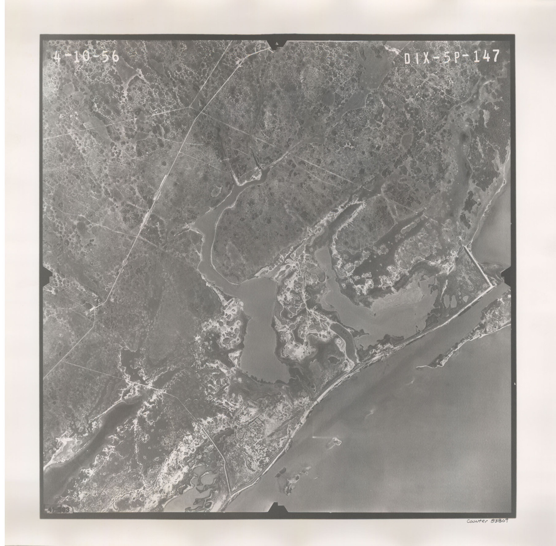
Flight Mission No. DIX-5P, Frame 147, Aransas County
DIX-5P-147
-
Map/Doc
83809
-
Collection
General Map Collection
-
Object Dates
1956/4/10 (Creation Date)
-
People and Organizations
U. S. Department of Agriculture (Publisher)
-
Counties
Aransas
-
Subjects
Aerial Photograph
-
Height x Width
17.8 x 18.1 inches
45.2 x 46.0 cm
-
Comments
Flown by V. L. Beavers and Associates of San Antonio, Texas.
Part of: General Map Collection
Culberson County Rolled Sketch 30

Print $84.00
- Digital $50.00
Culberson County Rolled Sketch 30
1928
Size 57.1 x 36.1 inches
Map/Doc 8746
Mitchell County Rolled Sketch 2A

Print $20.00
- Digital $50.00
Mitchell County Rolled Sketch 2A
Size 24.2 x 18.6 inches
Map/Doc 7954
Morris County Rolled Sketch 2A

Print $20.00
- Digital $50.00
Morris County Rolled Sketch 2A
Size 24.4 x 19.4 inches
Map/Doc 10245
Geographical, Statistical, and Historical Map of Mexico

Print $20.00
- Digital $50.00
Geographical, Statistical, and Historical Map of Mexico
1822
Size 18.0 x 22.4 inches
Map/Doc 95694
Flight Mission No. DQN-2K, Frame 38, Calhoun County

Print $20.00
- Digital $50.00
Flight Mission No. DQN-2K, Frame 38, Calhoun County
1953
Size 15.5 x 15.4 inches
Map/Doc 84243
Johnson County

Print $20.00
- Digital $50.00
Johnson County
1943
Size 39.8 x 37.0 inches
Map/Doc 77332
Calhoun County Working Sketch 9

Print $20.00
- Digital $50.00
Calhoun County Working Sketch 9
1948
Size 45.3 x 43.1 inches
Map/Doc 67825
Dawson County Sketch File 22

Print $6.00
- Digital $50.00
Dawson County Sketch File 22
1953
Size 11.2 x 8.7 inches
Map/Doc 20572
San Jacinto County Rolled Sketch 13

Print $20.00
- Digital $50.00
San Jacinto County Rolled Sketch 13
1994
Size 32.2 x 23.7 inches
Map/Doc 7562
Crockett County Rolled Sketch 88M

Print $20.00
- Digital $50.00
Crockett County Rolled Sketch 88M
1964
Size 25.2 x 34.2 inches
Map/Doc 5629
Map of Swisher County

Print $40.00
- Digital $50.00
Map of Swisher County
1900
Size 48.5 x 41.1 inches
Map/Doc 16890
Flight Mission No. BRA-7M, Frame 184, Jefferson County

Print $20.00
- Digital $50.00
Flight Mission No. BRA-7M, Frame 184, Jefferson County
1953
Size 18.6 x 22.3 inches
Map/Doc 85552
You may also like
[Sketch showing B. S. & F. Block 9 and vicinity]
![89785, [Sketch showing B. S. & F. Block 9 and vicinity], Twichell Survey Records](https://historictexasmaps.com/wmedia_w700/maps/89785-1.tif.jpg)
Print $40.00
- Digital $50.00
[Sketch showing B. S. & F. Block 9 and vicinity]
Size 37.8 x 49.0 inches
Map/Doc 89785
Brazoria County Rolled Sketch 25

Print $40.00
- Digital $50.00
Brazoria County Rolled Sketch 25
1935
Size 50.8 x 33.5 inches
Map/Doc 8928
Harbor Pass and Bar at Brazos Santiago, Texas

Print $20.00
- Digital $50.00
Harbor Pass and Bar at Brazos Santiago, Texas
1879
Size 18.2 x 27.2 inches
Map/Doc 73001
[Liberty County, Texas]
![2058, [Liberty County, Texas], General Map Collection](https://historictexasmaps.com/wmedia_w700/maps/2058-1.tif.jpg)
Print $20.00
- Digital $50.00
[Liberty County, Texas]
1890
Size 23.7 x 18.3 inches
Map/Doc 2058
North Part of Brewster Co.

Print $20.00
- Digital $50.00
North Part of Brewster Co.
1956
Size 42.4 x 40.2 inches
Map/Doc 1786
Hemphill County Working Sketch 21

Print $40.00
- Digital $50.00
Hemphill County Working Sketch 21
1973
Size 79.0 x 32.6 inches
Map/Doc 66116
Crockett County Working Sketch 70

Print $40.00
- Digital $50.00
Crockett County Working Sketch 70
1963
Size 23.7 x 49.5 inches
Map/Doc 68403
Denton County Sketch File 39

Print $16.00
- Digital $50.00
Denton County Sketch File 39
1934
Size 7.8 x 8.9 inches
Map/Doc 20781
Castro County Sketch File 10

Print $6.00
- Digital $50.00
Castro County Sketch File 10
1916
Size 8.2 x 5.4 inches
Map/Doc 17501
Coryell County Rolled Sketch 1

Print $20.00
- Digital $50.00
Coryell County Rolled Sketch 1
1943
Size 22.7 x 21.4 inches
Map/Doc 5565
Glasscock County Rolled Sketch 13

Print $20.00
- Digital $50.00
Glasscock County Rolled Sketch 13
Size 24.9 x 19.4 inches
Map/Doc 6019
Ector County Working Sketch 32

Print $20.00
- Digital $50.00
Ector County Working Sketch 32
1981
Size 26.2 x 17.0 inches
Map/Doc 68875