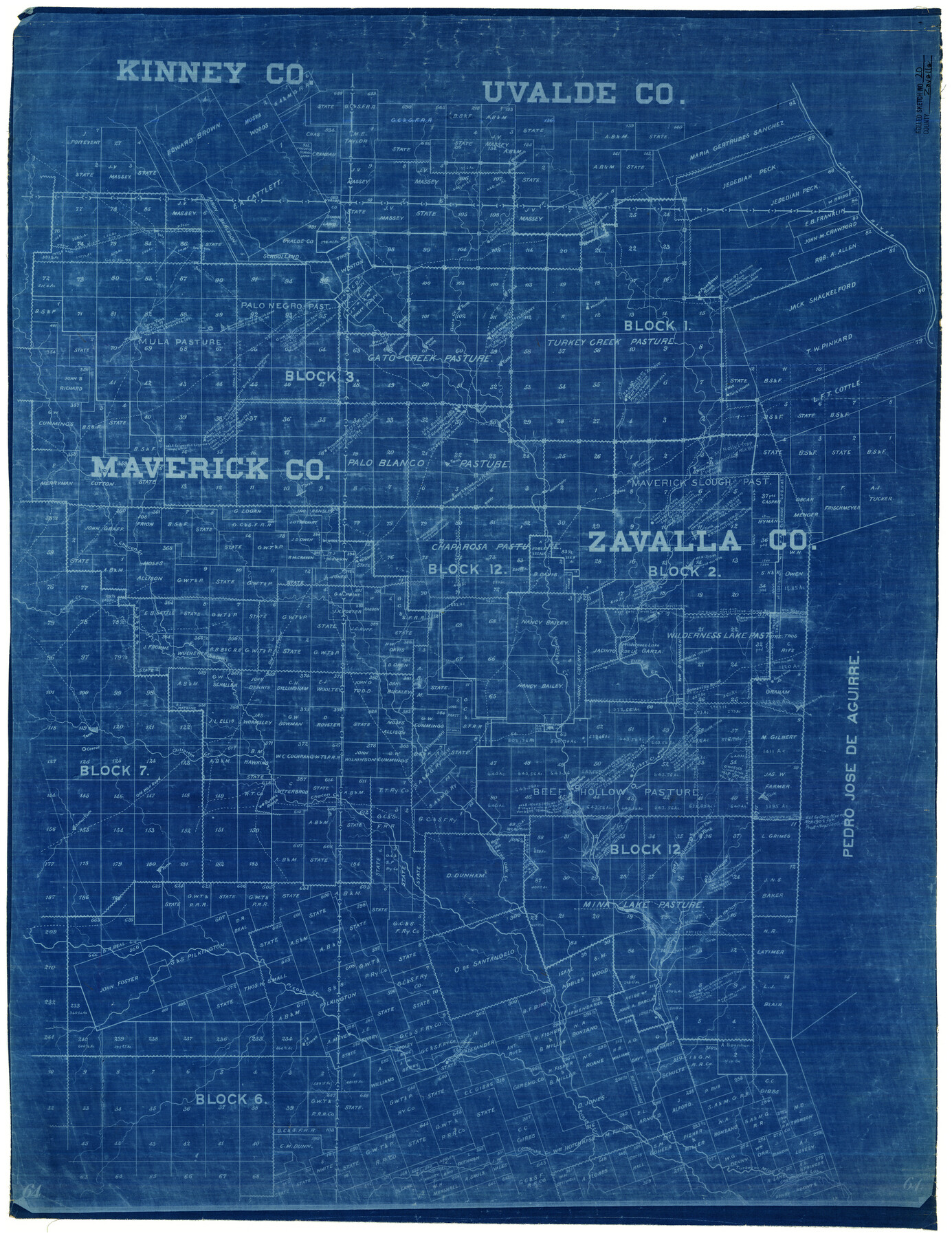
Zavala County Rolled Sketch 20
[Sketch of large area in Zavala, Maverick, Kinney, and Uvalde Counties]
-
Map/Doc
8323
-
Collection
General Map Collection
-
Object Dates
8/24/1915 (File Date)
-
Counties
Zavala Maverick Kinney Uvalde
-
Subjects
Surveying Rolled Sketch
-
Height x Width
33.9 x 26.3 inches
86.1 x 66.8 cm
-
Medium
blueprint/diazo
Part of: General Map Collection
Right of Way and Track Map of The Wichita Falls & Southern Railroad Company

Print $40.00
- Digital $50.00
Right of Way and Track Map of The Wichita Falls & Southern Railroad Company
1942
Size 24.6 x 56.1 inches
Map/Doc 64518
Jeff Davis County Rolled Sketch 13

Print $73.00
- Digital $50.00
Jeff Davis County Rolled Sketch 13
1921
Size 20.0 x 23.3 inches
Map/Doc 6366
Cochran County Sketch File 1

Print $20.00
- Digital $50.00
Cochran County Sketch File 1
Size 44.6 x 32.5 inches
Map/Doc 10337
Donley County Sketch File 15a

Print $20.00
- Digital $50.00
Donley County Sketch File 15a
Size 16.8 x 27.1 inches
Map/Doc 11365
Current Miscellaneous File 106

Print $36.00
- Digital $50.00
Current Miscellaneous File 106
Size 8.6 x 11.3 inches
Map/Doc 74689
W. Alvin Lloyd's Southern Rail-Road Map

Print $20.00
- Digital $50.00
W. Alvin Lloyd's Southern Rail-Road Map
1863
Size 18.4 x 23.7 inches
Map/Doc 97496

Irion County Sketch File 19

Print $4.00
- Digital $50.00
Irion County Sketch File 19
1858
Size 8.1 x 9.9 inches
Map/Doc 82532
Reeves County Sketch File 20

Print $8.00
- Digital $50.00
Reeves County Sketch File 20
1943
Size 9.9 x 8.5 inches
Map/Doc 35216
Pecos County Working Sketch 117

Print $40.00
- Digital $50.00
Pecos County Working Sketch 117
1973
Size 57.7 x 36.8 inches
Map/Doc 71590
Wilson County Boundary File 4

Print $26.00
- Digital $50.00
Wilson County Boundary File 4
Size 8.9 x 7.8 inches
Map/Doc 60096
Gray County Working Sketch 3

Print $20.00
- Digital $50.00
Gray County Working Sketch 3
1958
Size 36.4 x 31.8 inches
Map/Doc 63234
You may also like
Flight Mission No. BRE-1P, Frame 114, Nueces County

Print $20.00
- Digital $50.00
Flight Mission No. BRE-1P, Frame 114, Nueces County
1956
Size 18.6 x 22.9 inches
Map/Doc 86680
Travis County Boundary File 4

Print $52.00
- Digital $50.00
Travis County Boundary File 4
Size 9.5 x 8.2 inches
Map/Doc 59420
Il Disegno del discoperto della nova Franza, il quale se havuto ultimamente dalla novissima navigatione dè Francesi in quel luogo

Print $20.00
- Digital $50.00
Il Disegno del discoperto della nova Franza, il quale se havuto ultimamente dalla novissima navigatione dè Francesi in quel luogo
1566
Size 12.6 x 18.6 inches
Map/Doc 93804
Town of Wellman Situated on Parts of the Northeast 1/4 and Northwest 1/4 Section 17, Block DD

Print $20.00
- Digital $50.00
Town of Wellman Situated on Parts of the Northeast 1/4 and Northwest 1/4 Section 17, Block DD
1924
Size 14.3 x 12.3 inches
Map/Doc 92886
Clay County Sketch File 7

Print $2.00
- Digital $50.00
Clay County Sketch File 7
Size 8.2 x 3.5 inches
Map/Doc 18397
San Saba County Sketch File 14a

Print $14.00
- Digital $50.00
San Saba County Sketch File 14a
1891
Size 14.5 x 8.8 inches
Map/Doc 36441
Refugio County Sketch File 8b

Print $4.00
- Digital $50.00
Refugio County Sketch File 8b
1876
Size 8.5 x 10.5 inches
Map/Doc 35254

Jack County Working Sketch 11

Print $20.00
- Digital $50.00
Jack County Working Sketch 11
1959
Size 23.9 x 23.4 inches
Map/Doc 66437
Nueces County Sketch File 9

Print $4.00
- Digital $50.00
Nueces County Sketch File 9
1849
Size 10.9 x 8.7 inches
Map/Doc 32514
Nueces County Rolled Sketch 103

Print $105.00
Nueces County Rolled Sketch 103
1985
Size 36.5 x 24.1 inches
Map/Doc 7078
Montgomery County Working Sketch 69

Print $20.00
- Digital $50.00
Montgomery County Working Sketch 69
1973
Size 27.3 x 37.7 inches
Map/Doc 71176