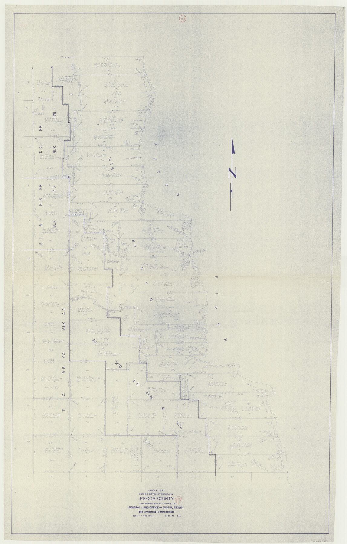
Pecos County Working Sketch 117
-
Map/Doc
71590
-
Collection
General Map Collection
-
Object Dates
2/20/1973 (Creation Date)
-
People and Organizations
Elbert Menzel (Draftsman)
-
Counties
Pecos
-
Subjects
Surveying Working Sketch
-
Height x Width
57.7 x 36.8 inches
146.6 x 93.5 cm
-
Scale
1" = 500 varas
Part of: General Map Collection
Maps of Gulf Intracoastal Waterway, Texas - Sabine River to the Rio Grande and connecting waterways including ship channels

Print $20.00
- Digital $50.00
Maps of Gulf Intracoastal Waterway, Texas - Sabine River to the Rio Grande and connecting waterways including ship channels
1966
Size 14.5 x 22.3 inches
Map/Doc 61949
El Paso County Sketch File 26

Print $20.00
- Digital $50.00
El Paso County Sketch File 26
Size 24.8 x 21.9 inches
Map/Doc 11457
Rio Grande Rectification Project, El Paso and Juarez Valley

Print $2.00
- Digital $50.00
Rio Grande Rectification Project, El Paso and Juarez Valley
1935
Size 10.8 x 8.2 inches
Map/Doc 60873
Kimble County Rolled Sketch 28

Print $20.00
- Digital $50.00
Kimble County Rolled Sketch 28
1964
Size 19.7 x 20.6 inches
Map/Doc 6518
Crockett County Rolled Sketch 42A

Print $20.00
- Digital $50.00
Crockett County Rolled Sketch 42A
Size 20.3 x 24.4 inches
Map/Doc 5593
Jackson County Boundary File 1

Print $24.00
- Digital $50.00
Jackson County Boundary File 1
Size 9.0 x 3.9 inches
Map/Doc 55420
Flight Mission No. DIX-3P, Frame 137, Aransas County

Print $20.00
- Digital $50.00
Flight Mission No. DIX-3P, Frame 137, Aransas County
1956
Size 17.8 x 18.4 inches
Map/Doc 83767
Shelby County Sketch File 28

Print $4.00
- Digital $50.00
Shelby County Sketch File 28
Size 6.2 x 7.9 inches
Map/Doc 36664
Flight Mission No. BRE-1P, Frame 106, Nueces County

Print $20.00
- Digital $50.00
Flight Mission No. BRE-1P, Frame 106, Nueces County
1956
Size 18.6 x 22.6 inches
Map/Doc 86677
Potter County Boundary File 4b

Print $20.00
- Digital $50.00
Potter County Boundary File 4b
Size 9.2 x 32.9 inches
Map/Doc 58012

Cette Carte de Californie et du Nouveau Mexique est tiree de celle qui a ete envoyee par un grand d'Espagne pour etre communiquee a Mrs. de l'Academie Royale des Sciences

Print $20.00
- Digital $50.00
Cette Carte de Californie et du Nouveau Mexique est tiree de celle qui a ete envoyee par un grand d'Espagne pour etre communiquee a Mrs. de l'Academie Royale des Sciences
1700
Size 11.8 x 16.5 inches
Map/Doc 95924
You may also like
[Surveys between the Lavaca River and Arenosa Creek]
![3184, [Surveys between the Lavaca River and Arenosa Creek], General Map Collection](https://historictexasmaps.com/wmedia_w700/maps/3184.tif.jpg)
Print $20.00
- Digital $50.00
[Surveys between the Lavaca River and Arenosa Creek]
1840
Size 25.6 x 18.9 inches
Map/Doc 3184
Reeves County Rolled Sketch 39

Print $20.00
- Digital $50.00
Reeves County Rolled Sketch 39
2018
Size 25.0 x 36.5 inches
Map/Doc 96570
[Various County School Land Leagues]
![89849, [Various County School Land Leagues], Twichell Survey Records](https://historictexasmaps.com/wmedia_w700/maps/89849-1.tif.jpg)
Print $40.00
- Digital $50.00
[Various County School Land Leagues]
Size 55.7 x 41.4 inches
Map/Doc 89849
Hardeman County Sketch File 14

Print $8.00
- Digital $50.00
Hardeman County Sketch File 14
1884
Size 12.7 x 8.1 inches
Map/Doc 25022
Matagorda County Sketch File 47

Print $68.00
- Digital $50.00
Matagorda County Sketch File 47
Size 11.2 x 8.6 inches
Map/Doc 30976
Plot of a survey made to connect the surveys in Jackson County with those heretofore made in connection with Colorado County

Print $2.00
- Digital $50.00
Plot of a survey made to connect the surveys in Jackson County with those heretofore made in connection with Colorado County
1847
Size 12.8 x 7.7 inches
Map/Doc 188

Flight Mission No. BRA-16M, Frame 126, Jefferson County

Print $20.00
- Digital $50.00
Flight Mission No. BRA-16M, Frame 126, Jefferson County
1953
Size 18.5 x 22.5 inches
Map/Doc 85736
Gulf of Mexico

Print $20.00
- Digital $50.00
Gulf of Mexico
1900
Size 18.3 x 28.1 inches
Map/Doc 72650
Reeves County Working Sketch 24

Print $40.00
- Digital $50.00
Reeves County Working Sketch 24
1966
Size 38.7 x 76.5 inches
Map/Doc 63467
Flight Mission No. BRE-1P, Frame 142, Nueces County

Print $20.00
- Digital $50.00
Flight Mission No. BRE-1P, Frame 142, Nueces County
1956
Size 18.4 x 22.3 inches
Map/Doc 86702
Delta County Sketch File 5

Print $2.00
- Digital $50.00
Delta County Sketch File 5
1886
Size 14.6 x 8.6 inches
Map/Doc 20676