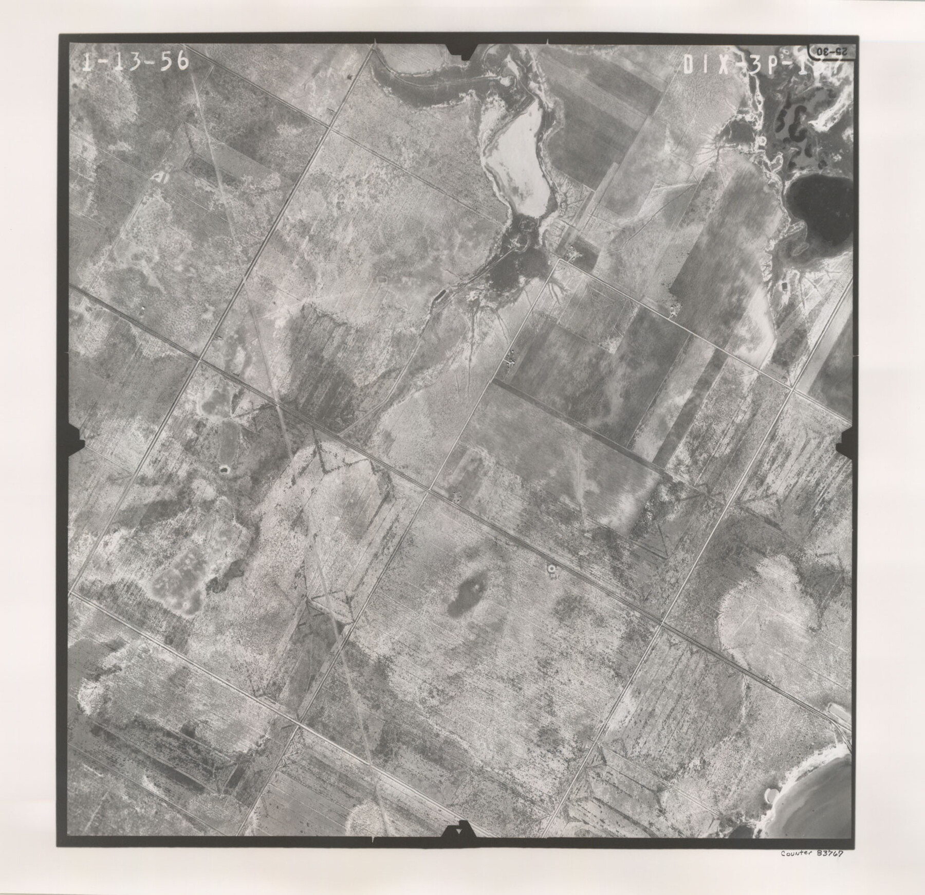
Flight Mission No. DIX-3P, Frame 137, Aransas County
DIX-3P-137
-
Map/Doc
83767
-
Collection
General Map Collection
-
Object Dates
1956/1/13 (Creation Date)
-
People and Organizations
U. S. Department of Agriculture (Publisher)
-
Counties
Aransas
-
Subjects
Aerial Photograph
-
Height x Width
17.8 x 18.4 inches
45.2 x 46.7 cm
-
Comments
Flown by V. L. Beavers and Associates of San Antonio, Texas.
Part of: General Map Collection
Bandera County Rolled Sketch 8

Print $20.00
- Digital $50.00
Bandera County Rolled Sketch 8
Size 27.9 x 26.4 inches
Map/Doc 5119
Flight Mission No. DQN-3K, Frame 12, Calhoun County

Print $20.00
- Digital $50.00
Flight Mission No. DQN-3K, Frame 12, Calhoun County
1953
Size 18.8 x 22.4 inches
Map/Doc 84344
Fayette County Sketch File 6

Print $114.00
- Digital $50.00
Fayette County Sketch File 6
1981
Size 14.9 x 9.5 inches
Map/Doc 22508
Jefferson County Working Sketch 44

Print $20.00
- Digital $50.00
Jefferson County Working Sketch 44
1960
Size 42.4 x 36.4 inches
Map/Doc 73592
Jefferson County Rolled Sketch 20

Print $60.00
- Digital $50.00
Jefferson County Rolled Sketch 20
1935
Size 29.2 x 36.2 inches
Map/Doc 9285
Crockett County Sketch File 56

Print $20.00
- Digital $50.00
Crockett County Sketch File 56
Size 19.6 x 19.0 inches
Map/Doc 11224
Map of Brown County

Print $20.00
- Digital $50.00
Map of Brown County
1876
Size 25.9 x 23.3 inches
Map/Doc 3341
Calhoun County NRC Article 33.136 Location Key Sheet

Print $20.00
- Digital $50.00
Calhoun County NRC Article 33.136 Location Key Sheet
1973
Size 27.0 x 22.0 inches
Map/Doc 77010
Llano County Sketch File 9

Print $42.00
- Digital $50.00
Llano County Sketch File 9
Size 8.6 x 13.1 inches
Map/Doc 30369
Blanco County Sketch File 46

Print $4.00
- Digital $50.00
Blanco County Sketch File 46
Size 12.5 x 8.4 inches
Map/Doc 14673
Matagorda Bay and Approaches

Print $20.00
- Digital $50.00
Matagorda Bay and Approaches
1992
Size 36.6 x 44.6 inches
Map/Doc 73390
Bowie County Working Sketch 8

Print $20.00
- Digital $50.00
Bowie County Working Sketch 8
1953
Size 25.9 x 24.0 inches
Map/Doc 67412
You may also like
Hunt County Boundary File 2b

Print $2.00
- Digital $50.00
Hunt County Boundary File 2b
Size 12.8 x 7.9 inches
Map/Doc 55207
Revised Edition of Murphy and Bolanz Official Map of the City of Dallas and Suburbs

Print $20.00
Revised Edition of Murphy and Bolanz Official Map of the City of Dallas and Suburbs
1891
Size 37.9 x 30.6 inches
Map/Doc 76274
United States - Gulf Coast - Galveston to Rio Grande

Print $20.00
- Digital $50.00
United States - Gulf Coast - Galveston to Rio Grande
1940
Size 27.0 x 18.2 inches
Map/Doc 72755
Hale County Rolled Sketch 10

Print $40.00
- Digital $50.00
Hale County Rolled Sketch 10
Size 52.4 x 28.3 inches
Map/Doc 76447
Bexar County Sketch File 58

Print $4.00
- Digital $50.00
Bexar County Sketch File 58
1847
Size 10.4 x 8.3 inches
Map/Doc 14572
Flight Mission No. DQO-3K, Frame 36, Galveston County

Print $20.00
- Digital $50.00
Flight Mission No. DQO-3K, Frame 36, Galveston County
1952
Size 18.7 x 22.4 inches
Map/Doc 85077
Morris County Rolled Sketch 2A

Print $20.00
- Digital $50.00
Morris County Rolled Sketch 2A
Size 24.3 x 19.1 inches
Map/Doc 10239
Carta General de la República Mexicana formada por Antonio García y Cubas

Print $40.00
Carta General de la República Mexicana formada por Antonio García y Cubas
1863
Size 48.7 x 57.1 inches
Map/Doc 95307
Hunt County Sketch File 29

Print $4.00
- Digital $50.00
Hunt County Sketch File 29
Size 7.4 x 7.8 inches
Map/Doc 27130
Colorado River, Shoal Creek from 12th to 34th Street/Austin, Texas

Print $40.00
- Digital $50.00
Colorado River, Shoal Creek from 12th to 34th Street/Austin, Texas
1929
Size 61.5 x 28.6 inches
Map/Doc 65327
Flight Mission No. CLL-3N, Frame 19, Willacy County

Print $20.00
- Digital $50.00
Flight Mission No. CLL-3N, Frame 19, Willacy County
1954
Size 18.4 x 22.1 inches
Map/Doc 87085
Jim Nix Farm NW 1/4 Section 40, Block 1 Halsell Subdivision

Print $20.00
- Digital $50.00
Jim Nix Farm NW 1/4 Section 40, Block 1 Halsell Subdivision
Size 12.1 x 13.9 inches
Map/Doc 92400