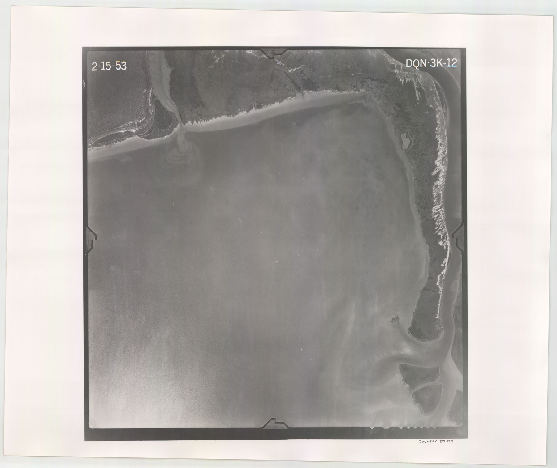
Flight Mission No. DQN-3K, Frame 12, Calhoun County
DQN-3K-12
-
Map/Doc
84344
-
Collection
General Map Collection
-
Object Dates
1953/2/15 (Creation Date)
-
People and Organizations
U. S. Department of Agriculture (Publisher)
-
Counties
Calhoun
-
Subjects
Aerial Photograph
-
Height x Width
18.8 x 22.4 inches
47.8 x 56.9 cm
-
Comments
Flown by Aero Exploration Company of Tulsa, Oklahoma.
Part of: General Map Collection
Edwards County Sketch File 32

Print $40.00
- Digital $50.00
Edwards County Sketch File 32
1926
Size 13.1 x 14.4 inches
Map/Doc 21765
Webb County Sketch File 50-1

Print $8.00
- Digital $50.00
Webb County Sketch File 50-1
1943
Size 14.5 x 8.9 inches
Map/Doc 39833
Crockett County Working Sketch 32

Print $20.00
- Digital $50.00
Crockett County Working Sketch 32
1925
Size 20.3 x 41.3 inches
Map/Doc 68365
Victoria County Sketch File 11

Print $8.00
- Digital $50.00
Victoria County Sketch File 11
1985
Size 11.3 x 9.0 inches
Map/Doc 39536
Burleson County

Print $20.00
- Digital $50.00
Burleson County
1884
Size 18.2 x 23.4 inches
Map/Doc 3347
Bailey County Sketch File 17

Print $12.00
- Digital $50.00
Bailey County Sketch File 17
Size 10.9 x 7.4 inches
Map/Doc 13980
Gallup's Map of Texas

Print $20.00
- Digital $50.00
Gallup's Map of Texas
1920
Size 22.4 x 31.9 inches
Map/Doc 95696
Bee County Sketch File 18

Print $6.00
- Digital $50.00
Bee County Sketch File 18
1880
Size 11.8 x 10.3 inches
Map/Doc 14303

Flight Mission No. CGI-3N, Frame 143, Cameron County

Print $20.00
- Digital $50.00
Flight Mission No. CGI-3N, Frame 143, Cameron County
1954
Size 18.5 x 22.1 inches
Map/Doc 84616
In the Supreme Court of the United States The State of Oklahoma, Complainant vs. The State of Texas, Defendant, The United States of America, Intervener - 1921

Print $20.00
- Digital $50.00
In the Supreme Court of the United States The State of Oklahoma, Complainant vs. The State of Texas, Defendant, The United States of America, Intervener - 1921
1921
Size 24.4 x 32.4 inches
Map/Doc 75128
Sketch exhibiting the San Antonio River from the source to the fork of Goliad

Print $20.00
- Digital $50.00
Sketch exhibiting the San Antonio River from the source to the fork of Goliad
Size 27.5 x 16.6 inches
Map/Doc 73009
You may also like
Real County Working Sketch 6

Print $20.00
- Digital $50.00
Real County Working Sketch 6
1924
Size 21.2 x 9.3 inches
Map/Doc 71898
General Highway Map. Detail of Cities and Towns in Bastrop County, Texas [Bastrop, Smithville, Elgin, etc.]
![79362, General Highway Map. Detail of Cities and Towns in Bastrop County, Texas [Bastrop, Smithville, Elgin, etc.], Texas State Library and Archives](https://historictexasmaps.com/wmedia_w700/maps/79362.tif.jpg)
Print $20.00
General Highway Map. Detail of Cities and Towns in Bastrop County, Texas [Bastrop, Smithville, Elgin, etc.]
1961
Size 18.3 x 25.0 inches
Map/Doc 79362
[East Line & Red River Railroad from Sulphur Springs to Jefferson]
![64768, [East Line & Red River Railroad from Sulphur Springs to Jefferson], General Map Collection](https://historictexasmaps.com/wmedia_w700/maps/64768.tif.jpg)
Print $40.00
- Digital $50.00
[East Line & Red River Railroad from Sulphur Springs to Jefferson]
1879
Size 38.0 x 108.5 inches
Map/Doc 64768
J. H. Webb Subdivision

Print $20.00
- Digital $50.00
J. H. Webb Subdivision
1951
Size 12.2 x 17.8 inches
Map/Doc 92412
Brazoria County Sketch File 39

Print $8.00
- Digital $50.00
Brazoria County Sketch File 39
1933
Size 11.3 x 8.8 inches
Map/Doc 15045
Kimble County Sketch File 11

Print $40.00
- Digital $50.00
Kimble County Sketch File 11
1882
Size 20.5 x 10.2 inches
Map/Doc 28933
Morris County Rolled Sketch 2A

Print $20.00
- Digital $50.00
Morris County Rolled Sketch 2A
Size 24.0 x 18.8 inches
Map/Doc 10275
Flight Mission No. DIX-10P, Frame 169, Aransas County

Print $20.00
- Digital $50.00
Flight Mission No. DIX-10P, Frame 169, Aransas County
1956
Size 18.7 x 22.3 inches
Map/Doc 83959
Rand, McNally & Co.'s Texas

Print $20.00
- Digital $50.00
Rand, McNally & Co.'s Texas
1902
Size 21.3 x 28.4 inches
Map/Doc 95886
Freestone County Working Sketch 2

Print $20.00
- Digital $50.00
Freestone County Working Sketch 2
1913
Size 23.1 x 28.2 inches
Map/Doc 69244
Pecos County Rolled Sketch 171

Print $20.00
- Digital $50.00
Pecos County Rolled Sketch 171
1975
Size 17.3 x 17.0 inches
Map/Doc 7293
Somervell Co.

Print $20.00
- Digital $50.00
Somervell Co.
1884
Size 28.0 x 26.8 inches
Map/Doc 63040