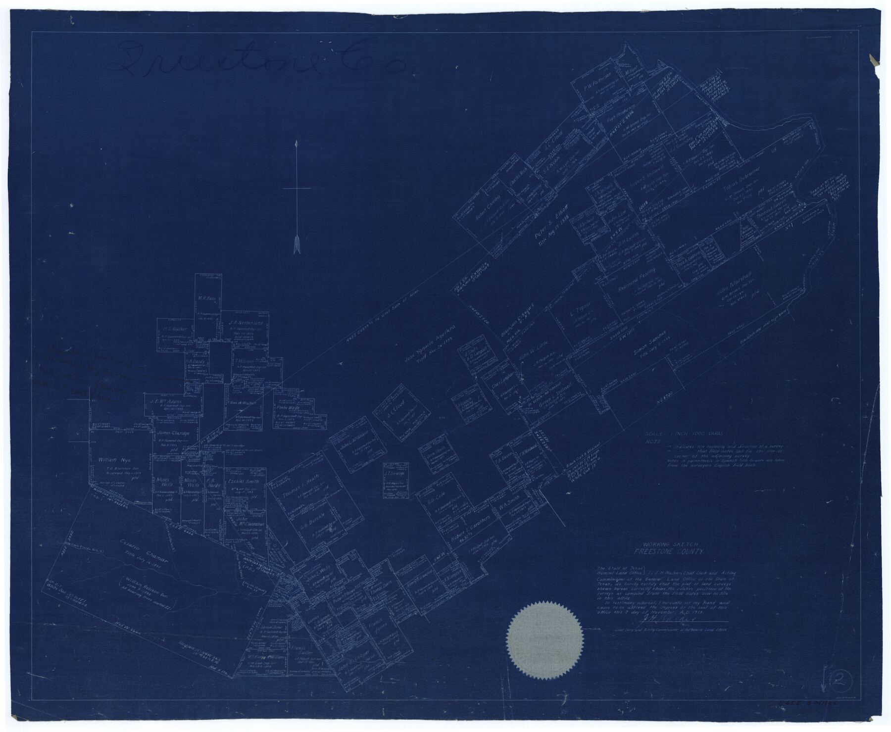
Freestone County Working Sketch 2
-
Map/Doc
69244
-
Collection
General Map Collection
-
Object Dates
11/7/1913 (Creation Date)
-
People and Organizations
John W. Pritchett (Draftsman)
-
Counties
Freestone
-
Subjects
Surveying Working Sketch
-
Height x Width
23.1 x 28.2 inches
58.7 x 71.6 cm
Part of: General Map Collection
Jefferson County Sketch File 21

Print $10.00
- Digital $50.00
Jefferson County Sketch File 21
Size 8.6 x 6.6 inches
Map/Doc 28171
Van Zandt County Rolled Sketch 6

Print $6.00
- Digital $50.00
Van Zandt County Rolled Sketch 6
1946
Size 33.5 x 34.2 inches
Map/Doc 10091
Ashburn's San Antonio City Map

Ashburn's San Antonio City Map
1951
Size 24.5 x 19.5 inches
Map/Doc 97144
Harris County Rolled Sketch 74

Print $20.00
- Digital $50.00
Harris County Rolled Sketch 74
Size 19.1 x 33.3 inches
Map/Doc 6112
Map of Comal County

Print $40.00
- Digital $50.00
Map of Comal County
1897
Size 44.3 x 48.5 inches
Map/Doc 4681
Bandera County Working Sketch 6

Print $20.00
- Digital $50.00
Bandera County Working Sketch 6
1917
Size 14.2 x 14.3 inches
Map/Doc 67599
Kinney County Working Sketch 44

Print $20.00
- Digital $50.00
Kinney County Working Sketch 44
1978
Size 36.7 x 25.8 inches
Map/Doc 70226
Burnet County Rolled Sketch 6

Print $40.00
- Digital $50.00
Burnet County Rolled Sketch 6
1971
Size 36.4 x 49.5 inches
Map/Doc 8543
Borden County Sketch File 1

Print $6.00
- Digital $50.00
Borden County Sketch File 1
Size 16.2 x 11.0 inches
Map/Doc 14701

Nueces County NRC Article 33.136 Sketch 6

Print $44.00
- Digital $50.00
Nueces County NRC Article 33.136 Sketch 6
2002
Size 23.4 x 35.2 inches
Map/Doc 78658
[Sketch for Mineral Application 15273 - Sabine River Bed]
![65575, [Sketch for Mineral Application 15273 - Sabine River Bed], General Map Collection](https://historictexasmaps.com/wmedia_w700/maps/65575-GC.tif.jpg)
Print $20.00
- Digital $50.00
[Sketch for Mineral Application 15273 - Sabine River Bed]
1926
Size 28.2 x 45.5 inches
Map/Doc 65575
You may also like
Leon County Working Sketch 35

Print $20.00
- Digital $50.00
Leon County Working Sketch 35
1978
Size 43.8 x 38.3 inches
Map/Doc 70434
DeWitt County Working Sketch 6

Print $20.00
- Digital $50.00
DeWitt County Working Sketch 6
1977
Size 30.6 x 26.6 inches
Map/Doc 68596
Liberty County Working Sketch 61

Print $20.00
- Digital $50.00
Liberty County Working Sketch 61
1969
Size 43.3 x 32.0 inches
Map/Doc 70521
Jackson County Sketch File 6

Print $4.00
- Digital $50.00
Jackson County Sketch File 6
1897
Size 13.1 x 8.9 inches
Map/Doc 27632
The Republic County of Jackson. Boundaries Defined, December 29, 1837

Print $20.00
The Republic County of Jackson. Boundaries Defined, December 29, 1837
2020
Size 15.6 x 21.8 inches
Map/Doc 96184
Duval County Rolled Sketch 35

Print $20.00
- Digital $50.00
Duval County Rolled Sketch 35
1951
Size 23.5 x 17.0 inches
Map/Doc 5750
[G. W. Carlisle Waco Manufacturing Co. Block 1]
![90669, [G. W. Carlisle Waco Manufacturing Co. Block 1], Twichell Survey Records](https://historictexasmaps.com/wmedia_w700/maps/90669-1.tif.jpg)
Print $2.00
- Digital $50.00
[G. W. Carlisle Waco Manufacturing Co. Block 1]
Size 8.4 x 10.9 inches
Map/Doc 90669
Jefferson County Sketch File 8a

Print $42.00
- Digital $50.00
Jefferson County Sketch File 8a
Size 8.6 x 7.8 inches
Map/Doc 28120
Mitchell County Working Sketch 4

Print $20.00
- Digital $50.00
Mitchell County Working Sketch 4
1926
Size 28.5 x 31.5 inches
Map/Doc 71061
Greer County Sketch File 2

Print $20.00
- Digital $50.00
Greer County Sketch File 2
1883
Size 25.4 x 19.9 inches
Map/Doc 11582
Castro County Sketch File 4l

Print $4.00
- Digital $50.00
Castro County Sketch File 4l
Size 13.5 x 8.6 inches
Map/Doc 17487
Zapata County Sketch File 3

Print $6.00
- Digital $50.00
Zapata County Sketch File 3
1883
Size 16.3 x 10.7 inches
Map/Doc 40904