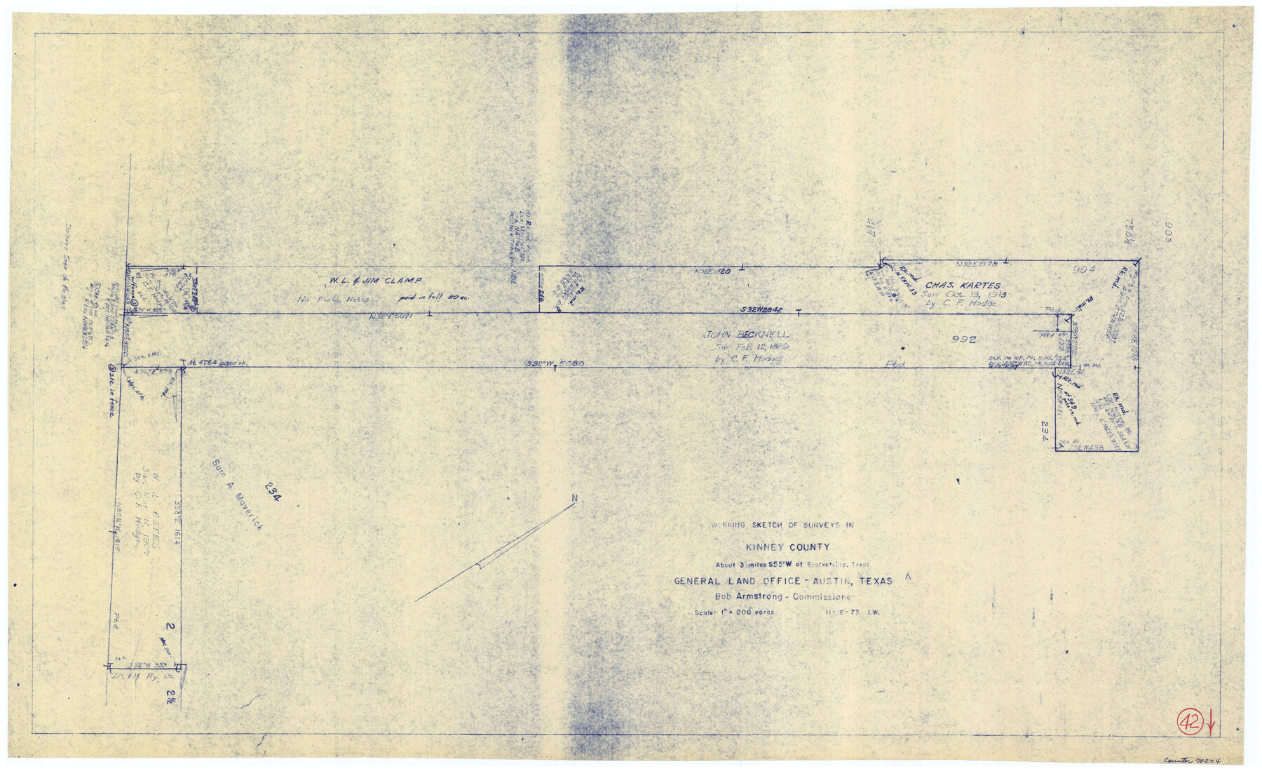
Kinney County Working Sketch 42
-
Map/Doc
70224
-
Collection
General Map Collection
-
Object Dates
11/6/1973 (Creation Date)
-
Counties
Kinney
-
Subjects
Surveying Working Sketch
-
Height x Width
20.4 x 33.7 inches
51.8 x 85.6 cm
-
Scale
1" = 200 varas
Part of: General Map Collection
Ochiltree County

Print $20.00
- Digital $50.00
Ochiltree County
1958
Size 43.4 x 34.4 inches
Map/Doc 73253
Right of Way and Track Map for The Missouri, Kansas & Texas Railway of Texas

Print $40.00
- Digital $50.00
Right of Way and Track Map for The Missouri, Kansas & Texas Railway of Texas
1918
Size 25.9 x 56.0 inches
Map/Doc 64527
Edwards County Working Sketch 8

Print $20.00
- Digital $50.00
Edwards County Working Sketch 8
1918
Size 19.2 x 31.2 inches
Map/Doc 68884
Montague County Working Sketch 39

Print $20.00
- Digital $50.00
Montague County Working Sketch 39
1994
Size 34.4 x 45.0 inches
Map/Doc 71105
Lee County Working Sketch 3

Print $20.00
- Digital $50.00
Lee County Working Sketch 3
1968
Size 37.9 x 37.3 inches
Map/Doc 70382
Pecos County Rolled Sketch 70

Print $40.00
- Digital $50.00
Pecos County Rolled Sketch 70
1929
Size 49.3 x 21.6 inches
Map/Doc 9708
[Sketch for Mineral Application 35981 - Liberty County, John Mecom]
![65618, [Sketch for Mineral Application 35981 - Liberty County, John Mecom], General Map Collection](https://historictexasmaps.com/wmedia_w700/maps/65618.tif.jpg)
Print $20.00
- Digital $50.00
[Sketch for Mineral Application 35981 - Liberty County, John Mecom]
1941
Size 30.1 x 26.4 inches
Map/Doc 65618
King County Sketch File 9

Print $20.00
- Digital $50.00
King County Sketch File 9
Size 23.5 x 33.0 inches
Map/Doc 11937
Flight Mission No. DQN-5K, Frame 80, Calhoun County

Print $20.00
- Digital $50.00
Flight Mission No. DQN-5K, Frame 80, Calhoun County
1953
Size 18.5 x 22.1 inches
Map/Doc 84413
Cameron County Rolled Sketch 8

Print $40.00
- Digital $50.00
Cameron County Rolled Sketch 8
1937
Size 42.5 x 54.1 inches
Map/Doc 8565
Flight Mission No. BRE-2P, Frame 98, Nueces County

Print $20.00
- Digital $50.00
Flight Mission No. BRE-2P, Frame 98, Nueces County
1956
Size 18.5 x 22.4 inches
Map/Doc 86783
Flight Mission No. DIX-8P, Frame 70, Aransas County

Print $20.00
- Digital $50.00
Flight Mission No. DIX-8P, Frame 70, Aransas County
1956
Size 18.7 x 22.4 inches
Map/Doc 83901
You may also like
Stephens County Rolled Sketch 2

Print $20.00
- Digital $50.00
Stephens County Rolled Sketch 2
1919
Size 24.8 x 30.3 inches
Map/Doc 7839
Intracoastal Waterway - Port Arthur to Galveston Bay

Print $20.00
- Digital $50.00
Intracoastal Waterway - Port Arthur to Galveston Bay
1960
Size 26.7 x 38.8 inches
Map/Doc 69832
Van Zandt County Sketch File 36

Print $4.00
- Digital $50.00
Van Zandt County Sketch File 36
1864
Size 8.0 x 10.4 inches
Map/Doc 39478
General Highway Map, Hidalgo County, Texas

Print $20.00
General Highway Map, Hidalgo County, Texas
1961
Size 18.1 x 24.9 inches
Map/Doc 79518

Edwards County Working Sketch 38

Print $20.00
- Digital $50.00
Edwards County Working Sketch 38
1948
Size 28.4 x 43.9 inches
Map/Doc 68914
Travis County Rolled Sketch 15

Print $20.00
- Digital $50.00
Travis County Rolled Sketch 15
1939
Size 25.4 x 37.6 inches
Map/Doc 10011

Flight Mission No. CUG-2P, Frame 28, Kleberg County

Print $20.00
- Digital $50.00
Flight Mission No. CUG-2P, Frame 28, Kleberg County
1956
Size 18.5 x 22.2 inches
Map/Doc 86193
Val Verde County Rolled Sketch 54

Print $40.00
- Digital $50.00
Val Verde County Rolled Sketch 54
1938
Size 63.5 x 44.0 inches
Map/Doc 8123
[Sabine Pass]
![73343, [Sabine Pass], General Map Collection](https://historictexasmaps.com/wmedia_w700/maps/73343.tif.jpg)
Print $20.00
- Digital $50.00
[Sabine Pass]
1916
Size 18.5 x 26.5 inches
Map/Doc 73343
Newton County Sketch File 18

Print $24.00
- Digital $50.00
Newton County Sketch File 18
1886
Size 12.1 x 8.3 inches
Map/Doc 32393