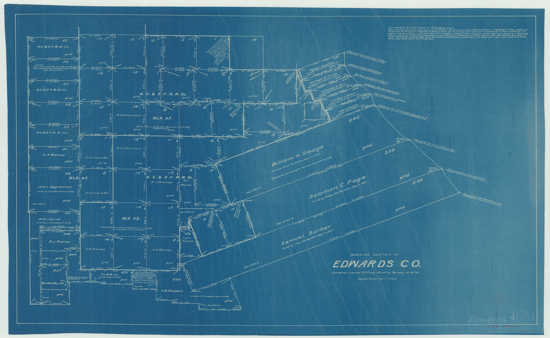
Edwards County Working Sketch 8
-
Map/Doc
68884
-
Collection
General Map Collection
-
Object Dates
10/8/1918 (Creation Date)
-
Counties
Edwards
-
Subjects
Surveying Working Sketch
-
Height x Width
19.2 x 31.2 inches
48.8 x 79.3 cm
-
Scale
1" = 1000 varas
Part of: General Map Collection
San Jacinto County Sketch File 20A

Print $6.00
San Jacinto County Sketch File 20A
1939
Size 13.9 x 8.9 inches
Map/Doc 35731
Hale County Working Sketch 7

Print $20.00
- Digital $50.00
Hale County Working Sketch 7
1963
Size 24.4 x 20.6 inches
Map/Doc 63327
Brewster County Sketch File B

Print $40.00
- Digital $50.00
Brewster County Sketch File B
1910
Size 25.5 x 18.3 inches
Map/Doc 10975
Eastland County Rolled Sketch 20

Print $20.00
- Digital $50.00
Eastland County Rolled Sketch 20
1982
Size 43.5 x 38.4 inches
Map/Doc 8826
Harris County Sketch File 20

Print $6.00
- Digital $50.00
Harris County Sketch File 20
1862
Size 8.6 x 7.9 inches
Map/Doc 25368
Brazoria County Sketch File 9

Print $6.00
- Digital $50.00
Brazoria County Sketch File 9
Size 14.0 x 9.0 inches
Map/Doc 14936
Panola County Working Sketch 39

Print $20.00
- Digital $50.00
Panola County Working Sketch 39
1992
Map/Doc 71448
Goliad County Working Sketch 5

Print $20.00
- Digital $50.00
Goliad County Working Sketch 5
1925
Size 39.9 x 36.5 inches
Map/Doc 63195
Blanco County Working Sketch 35

Print $20.00
- Digital $50.00
Blanco County Working Sketch 35
1978
Size 28.7 x 36.6 inches
Map/Doc 67395
Coryell County

Print $20.00
- Digital $50.00
Coryell County
1936
Size 44.6 x 40.1 inches
Map/Doc 77249
Copy of Surveyor's Field Book, Morris Browning - In Blocks 7, 5 & 4, I&GNRRCo., Hutchinson and Carson Counties, Texas

Print $2.00
- Digital $50.00
Copy of Surveyor's Field Book, Morris Browning - In Blocks 7, 5 & 4, I&GNRRCo., Hutchinson and Carson Counties, Texas
1888
Size 7.0 x 8.8 inches
Map/Doc 62265
Flight Mission No. DAH-17M, Frame 30, Orange County

Print $20.00
- Digital $50.00
Flight Mission No. DAH-17M, Frame 30, Orange County
1953
Size 18.7 x 22.5 inches
Map/Doc 86893
You may also like
[Sketch between Wheeler County and Oklahoma]
![89674, [Sketch between Wheeler County and Oklahoma], Twichell Survey Records](https://historictexasmaps.com/wmedia_w700/maps/89674-1.tif.jpg)
Print $40.00
- Digital $50.00
[Sketch between Wheeler County and Oklahoma]
Size 64.9 x 10.2 inches
Map/Doc 89674
Packery Channel

Print $20.00
- Digital $50.00
Packery Channel
1975
Size 27.8 x 30.9 inches
Map/Doc 2994
Hudspeth County Rolled Sketch 33

Print $40.00
- Digital $50.00
Hudspeth County Rolled Sketch 33
Size 59.0 x 24.9 inches
Map/Doc 8345
Howard County Working Sketch 7b

Print $40.00
- Digital $50.00
Howard County Working Sketch 7b
1950
Size 83.3 x 25.6 inches
Map/Doc 66274
Nacogdoches County Sketch File 11

Print $2.00
- Digital $50.00
Nacogdoches County Sketch File 11
Size 8.0 x 8.8 inches
Map/Doc 32255
Concho County Sketch File 41

Print $6.00
- Digital $50.00
Concho County Sketch File 41
1948
Size 14.3 x 8.8 inches
Map/Doc 19197
Borden County Sketch File 1a

Print $40.00
- Digital $50.00
Borden County Sketch File 1a
1900
Size 24.6 x 11.7 inches
Map/Doc 10931
Flight Mission No. CRC-3R, Frame 7, Chambers County

Print $20.00
- Digital $50.00
Flight Mission No. CRC-3R, Frame 7, Chambers County
1956
Size 18.6 x 22.3 inches
Map/Doc 84781
Hardin County Rolled Sketch 7

Print $20.00
- Digital $50.00
Hardin County Rolled Sketch 7
1947
Size 33.4 x 42.4 inches
Map/Doc 6080
Matagorda County Rolled Sketch 26

Print $20.00
- Digital $50.00
Matagorda County Rolled Sketch 26
1950
Size 39.5 x 42.1 inches
Map/Doc 9479
Austin Old and New, a Mapguide to the Heart of the City including Capitol Complex & Government Buildings, Downtown Streets and Buildings, the University of Texas, Historical Sites, Parks & Trails, Sixth Street, Town Lake, Museums

Austin Old and New, a Mapguide to the Heart of the City including Capitol Complex & Government Buildings, Downtown Streets and Buildings, the University of Texas, Historical Sites, Parks & Trails, Sixth Street, Town Lake, Museums
Size 25.4 x 31.2 inches
Map/Doc 94380
Coast Chart No. 205 - Galveston Bay to Oyster Bay, Texas

Print $20.00
- Digital $50.00
Coast Chart No. 205 - Galveston Bay to Oyster Bay, Texas
1907
Size 34.3 x 40.5 inches
Map/Doc 69927