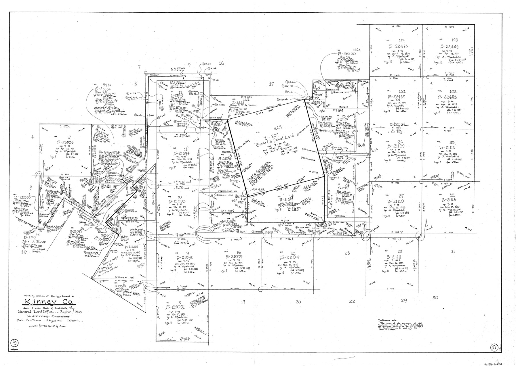
Kinney County Working Sketch 51
-
Map/Doc
70233
-
Collection
General Map Collection
-
Object Dates
8/18/1980 (Creation Date)
-
People and Organizations
Joan Kilpatrick (Draftsman)
-
Counties
Kinney
-
Subjects
Surveying Working Sketch
-
Height x Width
34.6 x 47.2 inches
87.9 x 119.9 cm
-
Scale
1" = 400 varas
Part of: General Map Collection
Dimmit County Sketch File 35

Print $6.00
- Digital $50.00
Dimmit County Sketch File 35
1885
Size 6.5 x 8.5 inches
Map/Doc 21155

Jeff Davis County Working Sketch 24

Print $40.00
- Digital $50.00
Jeff Davis County Working Sketch 24
1958
Size 24.9 x 52.9 inches
Map/Doc 66519
Jim Hogg Co. / Brooks Co.

Print $20.00
- Digital $50.00
Jim Hogg Co. / Brooks Co.
1912
Size 33.0 x 43.6 inches
Map/Doc 4894
Collingsworth County Sketch File 6

Print $4.00
- Digital $50.00
Collingsworth County Sketch File 6
1896
Size 11.4 x 9.1 inches
Map/Doc 18882
Trinity County Working Sketch 23

Print $20.00
- Digital $50.00
Trinity County Working Sketch 23
2010
Size 23.4 x 33.6 inches
Map/Doc 89259
Mason County Sketch File 4

Print $6.00
- Digital $50.00
Mason County Sketch File 4
1875
Size 12.9 x 8.0 inches
Map/Doc 30684
Webb County Working Sketch 31

Print $20.00
- Digital $50.00
Webb County Working Sketch 31
1937
Size 23.2 x 26.0 inches
Map/Doc 72396
Cass County Working Sketch 8

Print $20.00
- Digital $50.00
Cass County Working Sketch 8
1937
Size 20.2 x 16.1 inches
Map/Doc 67911
Matagorda County Rolled Sketch H & W

Matagorda County Rolled Sketch H & W
1936
Size 27.1 x 41.2 inches
Map/Doc 61776
Flight Mission No. DIX-8P, Frame 91, Aransas County

Print $20.00
- Digital $50.00
Flight Mission No. DIX-8P, Frame 91, Aransas County
1956
Size 18.5 x 22.4 inches
Map/Doc 83916
Map of Refugio County

Print $20.00
- Digital $50.00
Map of Refugio County
1875
Size 20.9 x 28.2 inches
Map/Doc 3988
You may also like
Flight Mission No. DAG-18K, Frame 74, Matagorda County

Print $20.00
- Digital $50.00
Flight Mission No. DAG-18K, Frame 74, Matagorda County
1952
Size 18.5 x 22.4 inches
Map/Doc 86367
Travis County Rolled Sketch 35

Print $20.00
- Digital $50.00
Travis County Rolled Sketch 35
1949
Size 22.8 x 24.6 inches
Map/Doc 8036
Cameron County Rolled Sketch 25

Print $20.00
- Digital $50.00
Cameron County Rolled Sketch 25
1977
Size 24.6 x 36.7 inches
Map/Doc 5796
Matagorda County Aerial Photograph Index Sheet 6

Print $20.00
- Digital $50.00
Matagorda County Aerial Photograph Index Sheet 6
1953
Size 23.8 x 19.6 inches
Map/Doc 83727
Travis County Working Sketch 6

Print $20.00
- Digital $50.00
Travis County Working Sketch 6
1913
Size 28.9 x 20.6 inches
Map/Doc 69390
[G. W. Carlisle Waco Manufacturing Co. Block 1]
![90669, [G. W. Carlisle Waco Manufacturing Co. Block 1], Twichell Survey Records](https://historictexasmaps.com/wmedia_w700/maps/90669-1.tif.jpg)
Print $2.00
- Digital $50.00
[G. W. Carlisle Waco Manufacturing Co. Block 1]
Size 8.4 x 10.9 inches
Map/Doc 90669
Sutton County Sketch File 57

Print $24.00
- Digital $50.00
Sutton County Sketch File 57
1961
Size 11.2 x 8.8 inches
Map/Doc 37542
Webb County Sketch File 2-1

Print $6.00
- Digital $50.00
Webb County Sketch File 2-1
1875
Size 9.9 x 8.0 inches
Map/Doc 39710
Reeves County Working Sketch 22

Print $20.00
- Digital $50.00
Reeves County Working Sketch 22
1966
Size 31.2 x 46.8 inches
Map/Doc 63465
Freestone County Boundary File 30b

Print $20.00
- Digital $50.00
Freestone County Boundary File 30b
Size 43.9 x 12.4 inches
Map/Doc 53598
Township 8 North Range 14 West, North Western District, Louisiana

Print $20.00
- Digital $50.00
Township 8 North Range 14 West, North Western District, Louisiana
1854
Size 19.7 x 24.7 inches
Map/Doc 65874
Newton County Working Sketch 22

Print $20.00
- Digital $50.00
Newton County Working Sketch 22
1952
Size 25.3 x 43.2 inches
Map/Doc 71268