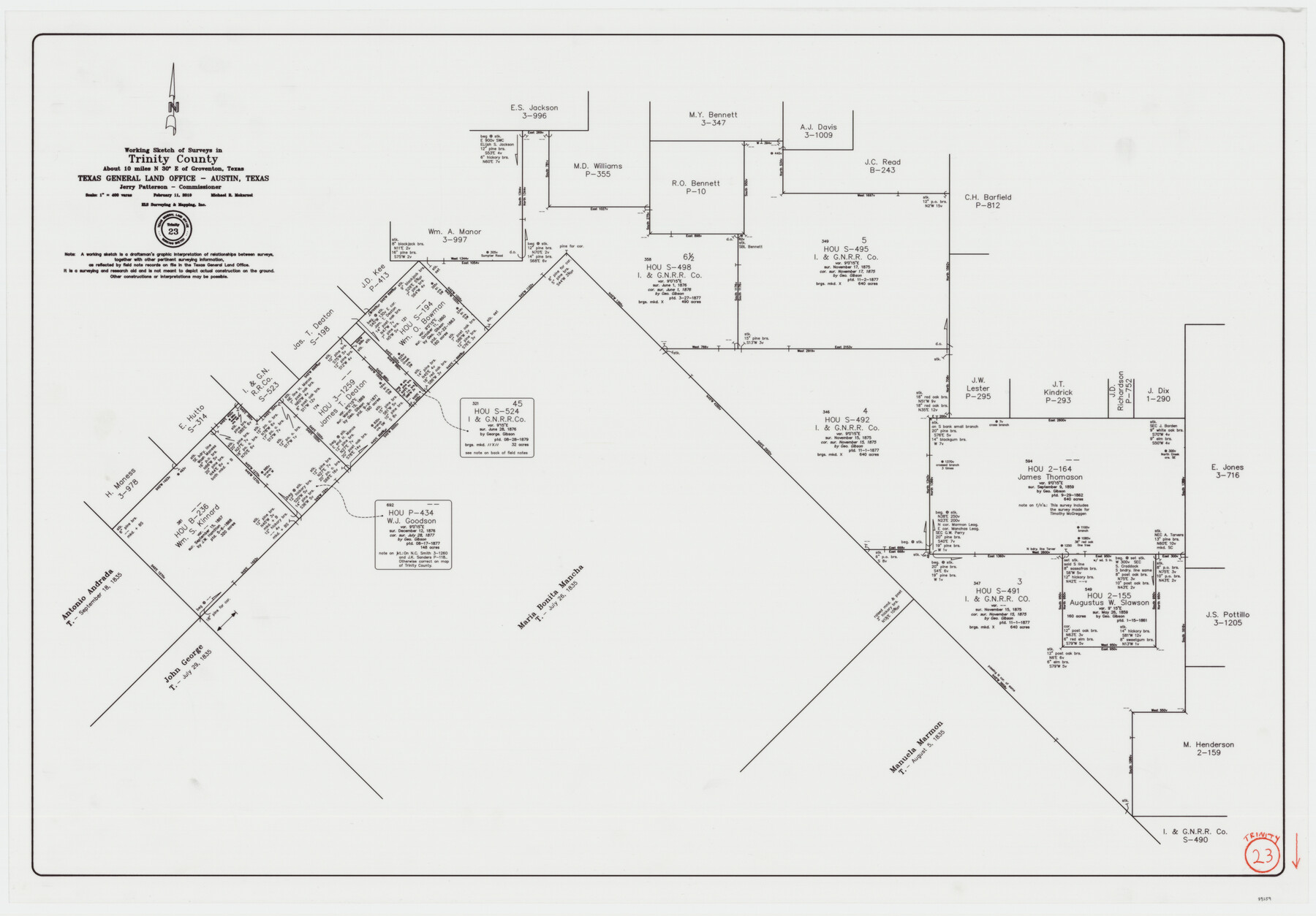
Trinity County Working Sketch 23
-
Map/Doc
89259
-
Collection
General Map Collection
-
Object Dates
2/11/2010 (Creation Date)
-
People and Organizations
Jerry E. Patterson (GLO Commissioner)
Michael R. Mokarzel (Draftsman)
-
Counties
Trinity
-
Subjects
Surveying Working Sketch
-
Height x Width
23.4 x 33.6 inches
59.4 x 85.3 cm
-
Scale
1" = 400 varas
Part of: General Map Collection
Presidio County Working Sketch 118

Print $20.00
- Digital $50.00
Presidio County Working Sketch 118
1983
Size 47.4 x 41.6 inches
Map/Doc 71795
Montgomery County Working Sketch Graphic Index, Sheet 2 (Sketches 36 to Most Recent)

Print $40.00
- Digital $50.00
Montgomery County Working Sketch Graphic Index, Sheet 2 (Sketches 36 to Most Recent)
1943
Size 42.9 x 51.9 inches
Map/Doc 76647
Culberson County Working Sketch 12

Print $20.00
- Digital $50.00
Culberson County Working Sketch 12
1922
Size 20.9 x 17.8 inches
Map/Doc 68464
Pecos County Rolled Sketch 123

Print $20.00
- Digital $50.00
Pecos County Rolled Sketch 123
Size 20.3 x 25.4 inches
Map/Doc 7264
Palo Pinto County Working Sketch 4

Print $20.00
- Digital $50.00
Palo Pinto County Working Sketch 4
1913
Map/Doc 71387
Matagorda County Sketch File 7

Print $20.00
- Digital $50.00
Matagorda County Sketch File 7
1890
Size 37.3 x 24.6 inches
Map/Doc 12038
Webb County Rolled Sketch 52

Print $20.00
- Digital $50.00
Webb County Rolled Sketch 52
1943
Size 37.8 x 29.3 inches
Map/Doc 8205
Flight Mission No. DAH-17M, Frame 62, Orange County

Print $20.00
- Digital $50.00
Flight Mission No. DAH-17M, Frame 62, Orange County
1953
Size 18.5 x 22.6 inches
Map/Doc 86896
Roberts County Working Sketch 22

Print $20.00
- Digital $50.00
Roberts County Working Sketch 22
1978
Size 31.0 x 42.9 inches
Map/Doc 63548
Texas-Oklahoma (Indian Territory) Gainesville Quadrangle

Print $20.00
- Digital $50.00
Texas-Oklahoma (Indian Territory) Gainesville Quadrangle
1902
Size 21.2 x 17.2 inches
Map/Doc 75101
The North Part of America Conteyning Newfoundland, New England, Virginia, Florida, New Spaine, and Nova Francia

Print $20.00
- Digital $50.00
The North Part of America Conteyning Newfoundland, New England, Virginia, Florida, New Spaine, and Nova Francia
1625
Size 12.6 x 16.2 inches
Map/Doc 97028
Flight Mission No. DQO-11K, Frame 16, Galveston County

Print $20.00
- Digital $50.00
Flight Mission No. DQO-11K, Frame 16, Galveston County
1952
Size 18.8 x 22.5 inches
Map/Doc 85209
You may also like
Blanco County Working Sketch 45

Print $20.00
- Digital $50.00
Blanco County Working Sketch 45
2007
Size 23.9 x 34.0 inches
Map/Doc 88609
Wise County Sketch File 27

Print $4.00
- Digital $50.00
Wise County Sketch File 27
1857
Size 12.4 x 8.2 inches
Map/Doc 40576
Reagan County Working Sketch 6

Print $20.00
- Digital $50.00
Reagan County Working Sketch 6
1924
Size 27.3 x 17.7 inches
Map/Doc 71846
Upton County Rolled Sketch 19

Print $40.00
- Digital $50.00
Upton County Rolled Sketch 19
1933
Size 55.2 x 40.0 inches
Map/Doc 10040
![88982, Motley Co[unty], Library of Congress](https://historictexasmaps.com/wmedia_w700/maps/88982.tif.jpg)
Clay County Boundary File 6

Print $2.00
- Digital $50.00
Clay County Boundary File 6
Size 8.1 x 3.5 inches
Map/Doc 51376
Mrs. W. H. Bledsoe Farm NE 100.2 Acres of Section 37, Block AK

Print $20.00
- Digital $50.00
Mrs. W. H. Bledsoe Farm NE 100.2 Acres of Section 37, Block AK
Size 15.9 x 13.0 inches
Map/Doc 92274
Flight Mission No. CRC-4R, Frame 63, Chambers County

Print $20.00
- Digital $50.00
Flight Mission No. CRC-4R, Frame 63, Chambers County
1956
Size 18.7 x 22.4 inches
Map/Doc 84867
Kleberg County Rolled Sketch 10-4

Print $20.00
- Digital $50.00
Kleberg County Rolled Sketch 10-4
1951
Size 36.8 x 31.5 inches
Map/Doc 9378
Flight Mission No. DCL-4C, Frame 5, Kenedy County

Print $20.00
- Digital $50.00
Flight Mission No. DCL-4C, Frame 5, Kenedy County
1943
Size 18.6 x 22.3 inches
Map/Doc 85806
Map of Shackelford County

Print $20.00
- Digital $50.00
Map of Shackelford County
1901
Size 26.5 x 21.9 inches
Map/Doc 63031
Map of Taylor, Bastrop & Houston Railroad in Williamson, Travis, & Bastrop Counties, Texas

Print $20.00
- Digital $50.00
Map of Taylor, Bastrop & Houston Railroad in Williamson, Travis, & Bastrop Counties, Texas
1887
Size 26.3 x 17.8 inches
Map/Doc 65468