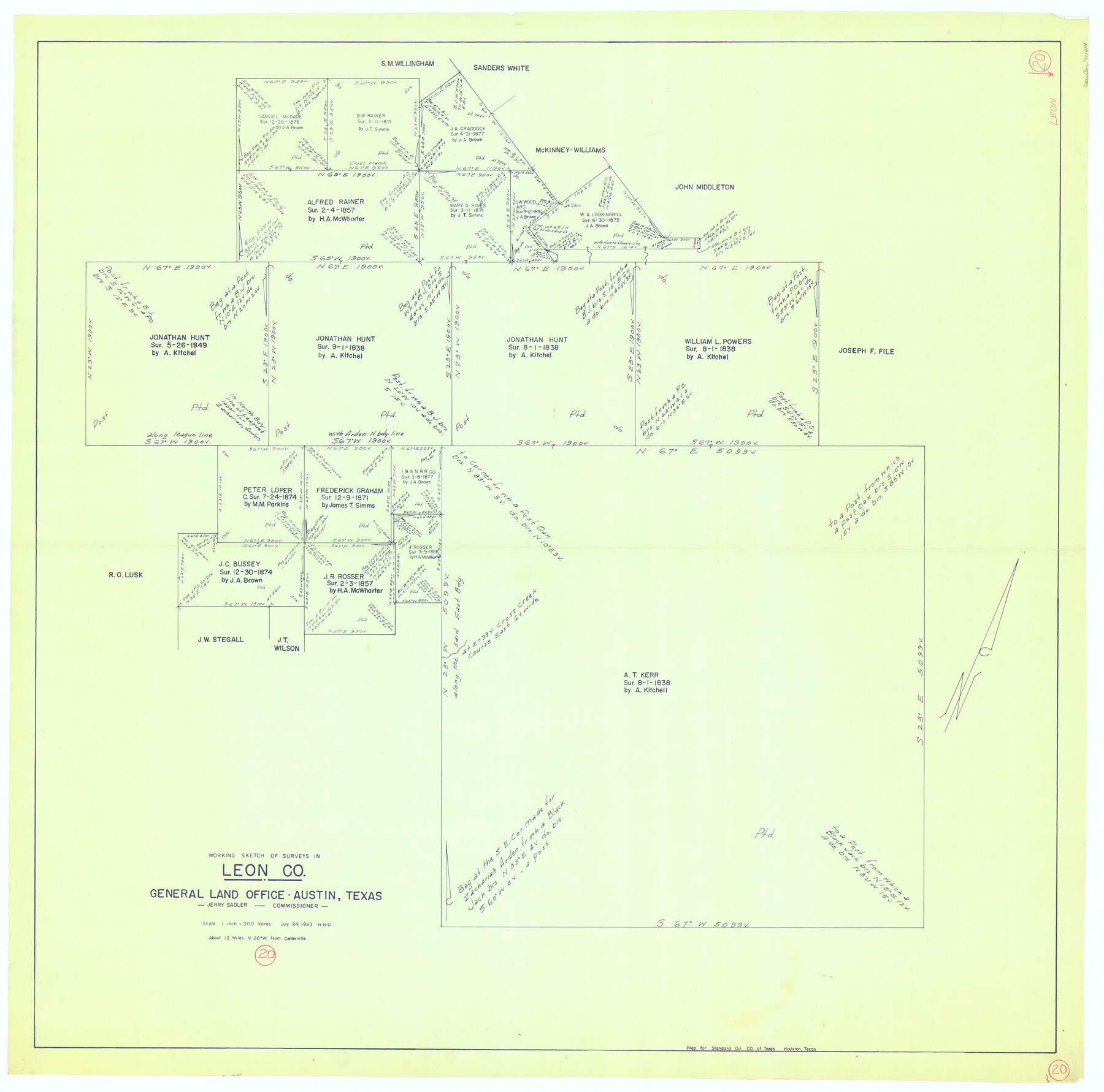
Leon County Working Sketch 20
-
Map/Doc
70419
-
Collection
General Map Collection
-
Object Dates
7/24/1963 (Creation Date)
-
People and Organizations
Herbert H. Ulbricht (Draftsman)
-
Counties
Leon
-
Subjects
Surveying Working Sketch
-
Height x Width
37.8 x 38.2 inches
96.0 x 97.0 cm
-
Scale
1" = 300 varas
Part of: General Map Collection
Kinney County Rolled Sketch 11

Print $20.00
- Digital $50.00
Kinney County Rolled Sketch 11
1944
Size 39.2 x 32.0 inches
Map/Doc 6540
Brazoria County NRC Article 33.136 Location Key Sheet

Print $20.00
- Digital $50.00
Brazoria County NRC Article 33.136 Location Key Sheet
1963
Size 27.0 x 22.0 inches
Map/Doc 77009
Tarrant County Sketch File 1a

Print $4.00
- Digital $50.00
Tarrant County Sketch File 1a
1851
Size 10.2 x 7.8 inches
Map/Doc 37670
The World on an Equatorial Projection, Map of the Eastern and Western Hemispheres / The World on a Polar Projection, Map of the Northern and Southern Hemispheres / Inset: Map of the most recent Antarctic Discoveries

Print $20.00
- Digital $50.00
The World on an Equatorial Projection, Map of the Eastern and Western Hemispheres / The World on a Polar Projection, Map of the Northern and Southern Hemispheres / Inset: Map of the most recent Antarctic Discoveries
1839
Size 11.8 x 9.5 inches
Map/Doc 93492
Starr County Rolled Sketch 19

Print $20.00
- Digital $50.00
Starr County Rolled Sketch 19
1920
Size 20.8 x 24.9 inches
Map/Doc 7803
Blucher's Directory Map of Corpus Christi and Road Map of Nueces County

Print $20.00
- Digital $50.00
Blucher's Directory Map of Corpus Christi and Road Map of Nueces County
1945
Size 22.7 x 34.4 inches
Map/Doc 94105

Flight Mission No. BRE-1P, Frame 106, Nueces County

Print $20.00
- Digital $50.00
Flight Mission No. BRE-1P, Frame 106, Nueces County
1956
Size 18.6 x 22.6 inches
Map/Doc 86677
Starr County Sketch File 50

Print $40.00
- Digital $50.00
Starr County Sketch File 50
1963
Size 12.4 x 15.5 inches
Map/Doc 37007
Sutton County Sketch File J

Print $4.00
- Digital $50.00
Sutton County Sketch File J
Size 14.5 x 8.8 inches
Map/Doc 37505
Val Verde County Sketch File 53

Print $20.00
- Digital $50.00
Val Verde County Sketch File 53
1892
Size 45.0 x 16.2 inches
Map/Doc 10421
Brewster County Rolled Sketch 47

Print $20.00
- Digital $50.00
Brewster County Rolled Sketch 47
1930
Size 18.1 x 41.0 inches
Map/Doc 5223
You may also like
Reagan County Rolled Sketch 16

Print $20.00
- Digital $50.00
Reagan County Rolled Sketch 16
Size 25.6 x 47.5 inches
Map/Doc 9811
Culberson County Rolled Sketch 23

Print $20.00
- Digital $50.00
Culberson County Rolled Sketch 23
1888
Size 24.1 x 35.2 inches
Map/Doc 5655
Maps of Gulf Intracoastal Waterway, Texas - Sabine River to the Rio Grande and connecting waterways including ship channels

Print $20.00
- Digital $50.00
Maps of Gulf Intracoastal Waterway, Texas - Sabine River to the Rio Grande and connecting waterways including ship channels
1966
Size 14.6 x 22.2 inches
Map/Doc 61946
Greenville, Hunt County Texas

Print $20.00
Greenville, Hunt County Texas
1891
Size 16.4 x 30.0 inches
Map/Doc 89090
Jeff Davis County Sketch File 15

Print $20.00
- Digital $50.00
Jeff Davis County Sketch File 15
1883
Size 28.5 x 18.9 inches
Map/Doc 11859
Nueva Hispania Tabula Nova

Print $20.00
- Digital $50.00
Nueva Hispania Tabula Nova
1561
Size 9.4 x 12.3 inches
Map/Doc 93796
[T. & P. Block 35, Townships 1N - 5N]
![93138, [T. & P. Block 35, Townships 1N - 5N], Twichell Survey Records](https://historictexasmaps.com/wmedia_w700/maps/93138-1.tif.jpg)
Print $40.00
- Digital $50.00
[T. & P. Block 35, Townships 1N - 5N]
Size 23.8 x 87.2 inches
Map/Doc 93138
Edwards County Rolled Sketch 21

Print $20.00
- Digital $50.00
Edwards County Rolled Sketch 21
1948
Size 17.0 x 29.4 inches
Map/Doc 5809
Haskell County Sketch File 13

Print $37.00
- Digital $50.00
Haskell County Sketch File 13
Size 8.1 x 4.0 inches
Map/Doc 26142
Travis County Working Sketch 8

Print $20.00
- Digital $50.00
Travis County Working Sketch 8
1917
Size 18.8 x 18.8 inches
Map/Doc 69392
Dawson County Sketch

Print $20.00
- Digital $50.00
Dawson County Sketch
Size 37.0 x 20.5 inches
Map/Doc 92628
Map of Kerr County, Texas

Print $20.00
- Digital $50.00
Map of Kerr County, Texas
1879
Size 21.7 x 28.5 inches
Map/Doc 526