[T. & P. Block 35, Townships 1N - 5N]
58-8
-
Map/Doc
93138
-
Collection
Twichell Survey Records
-
Counties
Dawson
-
Height x Width
23.8 x 87.2 inches
60.5 x 221.5 cm
Part of: Twichell Survey Records
South Part Brewster Co.


Print $40.00
- Digital $50.00
South Part Brewster Co.
1915
Size 50.0 x 35.2 inches
Map/Doc 89723
Blocks T1, T2, T3, S3, A, O5, and Capitol Leagues]
![91074, Blocks T1, T2, T3, S3, A, O5, and Capitol Leagues], Twichell Survey Records](https://historictexasmaps.com/wmedia_w700/maps/91074-1.tif.jpg)
![91074, Blocks T1, T2, T3, S3, A, O5, and Capitol Leagues], Twichell Survey Records](https://historictexasmaps.com/wmedia_w700/maps/91074-1.tif.jpg)
Print $20.00
- Digital $50.00
Blocks T1, T2, T3, S3, A, O5, and Capitol Leagues]
Size 30.0 x 33.4 inches
Map/Doc 91074
Gaines County, Texas
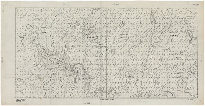

Print $40.00
- Digital $50.00
Gaines County, Texas
Size 60.0 x 31.3 inches
Map/Doc 89684
[Part of Block D7]
![91944, [Part of Block D7], Twichell Survey Records](https://historictexasmaps.com/wmedia_w700/maps/91944-1.tif.jpg)
![91944, [Part of Block D7], Twichell Survey Records](https://historictexasmaps.com/wmedia_w700/maps/91944-1.tif.jpg)
Print $20.00
- Digital $50.00
[Part of Block D7]
Size 36.5 x 18.8 inches
Map/Doc 91944
[Sketch of part of G. & M. Block 5]
![93076, [Sketch of part of G. & M. Block 5], Twichell Survey Records](https://historictexasmaps.com/wmedia_w700/maps/93076-1.tif.jpg)
![93076, [Sketch of part of G. & M. Block 5], Twichell Survey Records](https://historictexasmaps.com/wmedia_w700/maps/93076-1.tif.jpg)
Print $20.00
- Digital $50.00
[Sketch of part of G. & M. Block 5]
Size 30.4 x 16.3 inches
Map/Doc 93076
Part of Fisher County [around Bastrop County School Land Leagues 313 and 314, Thos. H. Cosby League 315 and El Paso County School Land League 316]
![90820, Part of Fisher County [around Bastrop County School Land Leagues 313 and 314, Thos. H. Cosby League 315 and El Paso County School Land League 316], Twichell Survey Records](https://historictexasmaps.com/wmedia_w700/maps/90820-2.tif.jpg)
![90820, Part of Fisher County [around Bastrop County School Land Leagues 313 and 314, Thos. H. Cosby League 315 and El Paso County School Land League 316], Twichell Survey Records](https://historictexasmaps.com/wmedia_w700/maps/90820-2.tif.jpg)
Print $20.00
- Digital $50.00
Part of Fisher County [around Bastrop County School Land Leagues 313 and 314, Thos. H. Cosby League 315 and El Paso County School Land League 316]
1883
Size 20.0 x 24.7 inches
Map/Doc 90820
[Strip between Block 8 and Block K4]
![90601, [Strip between Block 8 and Block K4], Twichell Survey Records](https://historictexasmaps.com/wmedia_w700/maps/90601-1.tif.jpg)
![90601, [Strip between Block 8 and Block K4], Twichell Survey Records](https://historictexasmaps.com/wmedia_w700/maps/90601-1.tif.jpg)
Print $2.00
- Digital $50.00
[Strip between Block 8 and Block K4]
Size 8.8 x 11.7 inches
Map/Doc 90601
[Lgs. 180-183, 196-198, 105-112, 678-680, 699-701, 141-143]
![90153, [Lgs. 180-183, 196-198, 105-112, 678-680, 699-701, 141-143], Twichell Survey Records](https://historictexasmaps.com/wmedia_w700/maps/90153-1.tif.jpg)
![90153, [Lgs. 180-183, 196-198, 105-112, 678-680, 699-701, 141-143], Twichell Survey Records](https://historictexasmaps.com/wmedia_w700/maps/90153-1.tif.jpg)
Print $3.00
- Digital $50.00
[Lgs. 180-183, 196-198, 105-112, 678-680, 699-701, 141-143]
1913
Size 14.9 x 9.9 inches
Map/Doc 90153
Pecos County, 1917


Print $20.00
- Digital $50.00
Pecos County, 1917
1917
Size 40.5 x 47.4 inches
Map/Doc 89707
Map Showing Jacob Kuechler's Meander of West Bank of Pecos River in December 1876
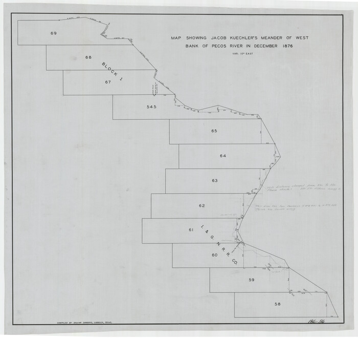

Print $20.00
- Digital $50.00
Map Showing Jacob Kuechler's Meander of West Bank of Pecos River in December 1876
Size 18.6 x 17.4 inches
Map/Doc 91669
Swisher Co. Texas
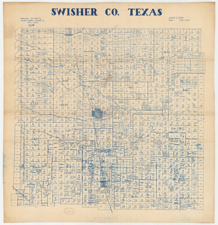

Print $20.00
- Digital $50.00
Swisher Co. Texas
1936
Size 36.8 x 38.0 inches
Map/Doc 89876
You may also like
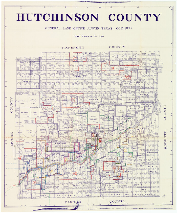
Hutchinson County Working Sketch Graphic Index - sheet 1

Print $20.00
- Digital $50.00
Hutchinson County Working Sketch Graphic Index - sheet 1
1922
Size 44.1 x 36.8 inches
Map/Doc 76586
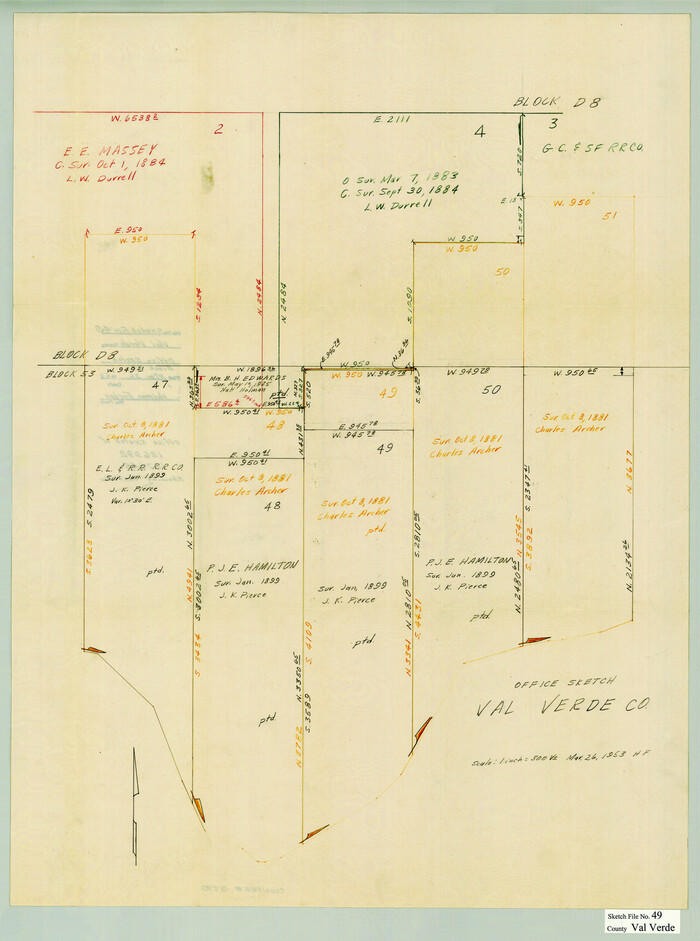
Val Verde County Sketch File 49

Print $20.00
- Digital $50.00
Val Verde County Sketch File 49
1953
Size 27.1 x 20.2 inches
Map/Doc 12590
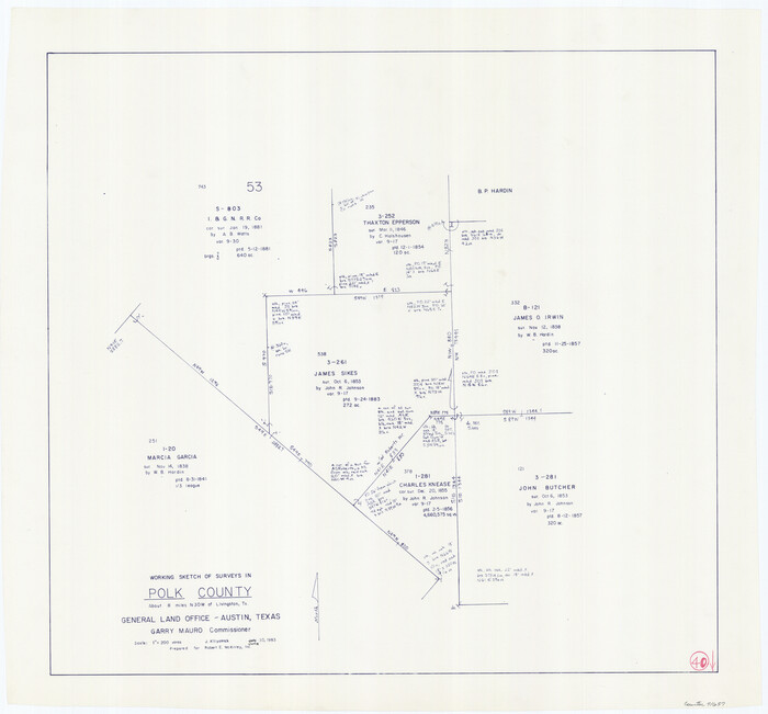
Polk County Working Sketch 40

Print $20.00
- Digital $50.00
Polk County Working Sketch 40
1983
Size 25.4 x 27.3 inches
Map/Doc 71657
[Yates survey 34 1/2 and vicinity]
![91690, [Yates survey 34 1/2 and vicinity], Twichell Survey Records](https://historictexasmaps.com/wmedia_w700/maps/91690-1.tif.jpg)
![91690, [Yates survey 34 1/2 and vicinity], Twichell Survey Records](https://historictexasmaps.com/wmedia_w700/maps/91690-1.tif.jpg)
Print $20.00
- Digital $50.00
[Yates survey 34 1/2 and vicinity]
Size 12.6 x 17.7 inches
Map/Doc 91690
Cameron County Rolled Sketch 19


Print $2.00
- Digital $50.00
Cameron County Rolled Sketch 19
Size 7.0 x 5.6 inches
Map/Doc 5467
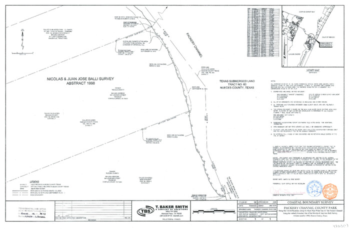
Nueces County NRC Article 33.136 Sketch 25

Print $36.00
Nueces County NRC Article 33.136 Sketch 25
2025
Map/Doc 97513
[Blocks T1, T2, T3, S3, A, 05, 02 and vicinity]
![92196, [Blocks T1, T2, T3, S3, A, 05, 02 and vicinity], Twichell Survey Records](https://historictexasmaps.com/wmedia_w700/maps/92196-1.tif.jpg)
![92196, [Blocks T1, T2, T3, S3, A, 05, 02 and vicinity], Twichell Survey Records](https://historictexasmaps.com/wmedia_w700/maps/92196-1.tif.jpg)
Print $20.00
- Digital $50.00
[Blocks T1, T2, T3, S3, A, 05, 02 and vicinity]
Size 20.3 x 22.9 inches
Map/Doc 92196
Map of Bexar County


Print $40.00
- Digital $50.00
Map of Bexar County
1845
Size 90.6 x 81.0 inches
Map/Doc 82242
[Surveys in Liberty County]
![69750, [Surveys in Liberty County], General Map Collection](https://historictexasmaps.com/wmedia_w700/maps/69750.tif.jpg)
![69750, [Surveys in Liberty County], General Map Collection](https://historictexasmaps.com/wmedia_w700/maps/69750.tif.jpg)
Print $2.00
- Digital $50.00
[Surveys in Liberty County]
Size 5.8 x 9.3 inches
Map/Doc 69750
[Texas Department of Corrections Prison Farm Locations]
![78638, [Texas Department of Corrections Prison Farm Locations], General Map Collection](https://historictexasmaps.com/wmedia_w700/maps/78638.tif.jpg)
![78638, [Texas Department of Corrections Prison Farm Locations], General Map Collection](https://historictexasmaps.com/wmedia_w700/maps/78638.tif.jpg)
Print $40.00
- Digital $50.00
[Texas Department of Corrections Prison Farm Locations]
Size 43.0 x 54.0 inches
Map/Doc 78638
Hays County Sketch File 7


Print $4.00
- Digital $50.00
Hays County Sketch File 7
1858
Size 8.4 x 12.9 inches
Map/Doc 26208
![93138, [T. & P. Block 35, Townships 1N - 5N], Twichell Survey Records](https://historictexasmaps.com/wmedia_w1800h1800/maps/93138-1.tif.jpg)
![90713, [Capitol Lands], Twichell Survey Records](https://historictexasmaps.com/wmedia_w700/maps/90713-1.tif.jpg)
