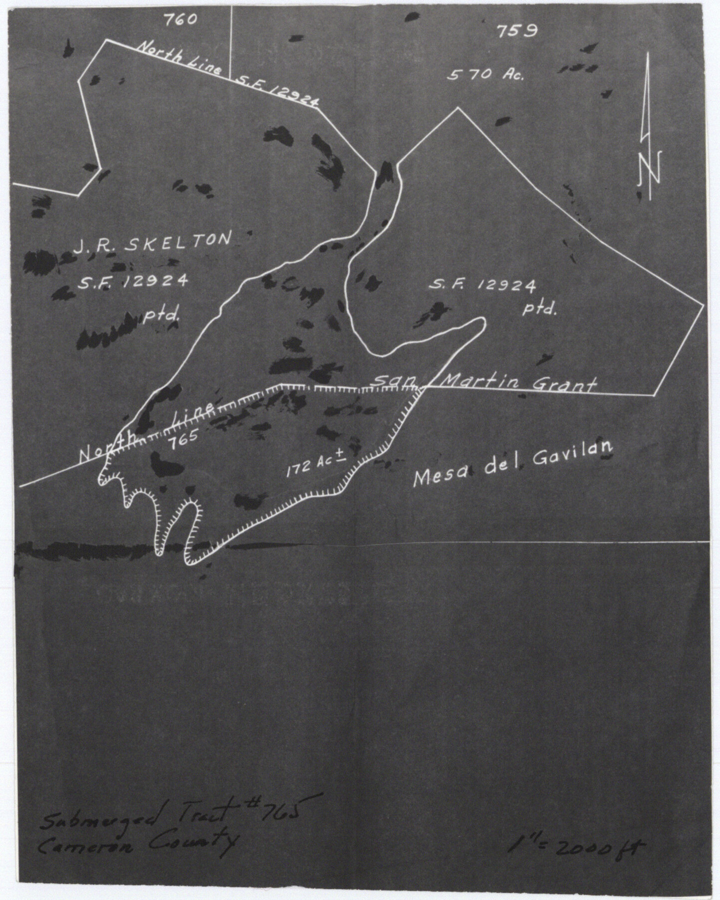
Cameron County Rolled Sketch 19
[Submerged Tract No. 765]
-
Map/Doc
5467
-
Collection
General Map Collection
-
Object Dates
1976/1/20 (File Date)
-
Counties
Cameron
-
Subjects
Surveying Rolled Sketch
-
Height x Width
7.0 x 5.6 inches
17.8 x 14.2 cm
-
Medium
photostat
-
Scale
1" = 2000 feet
Part of: General Map Collection
Pecos County Rolled Sketch 28

Print $20.00
- Digital $50.00
Pecos County Rolled Sketch 28
1890
Size 18.9 x 38.5 inches
Map/Doc 7213
Liberty County Rolled Sketch T

Print $20.00
- Digital $50.00
Liberty County Rolled Sketch T
1941
Size 20.8 x 16.0 inches
Map/Doc 6626
Flight Mission No. DAG-24K, Frame 137, Matagorda County

Print $20.00
- Digital $50.00
Flight Mission No. DAG-24K, Frame 137, Matagorda County
1953
Size 18.5 x 22.2 inches
Map/Doc 86555
Flight Mission No. CRE-3R, Frame 39, Jackson County

Print $20.00
- Digital $50.00
Flight Mission No. CRE-3R, Frame 39, Jackson County
1956
Size 18.6 x 22.2 inches
Map/Doc 85386
Flight Mission No. BRE-3P, Frame 95, Nueces County

Print $20.00
- Digital $50.00
Flight Mission No. BRE-3P, Frame 95, Nueces County
1956
Size 18.4 x 22.3 inches
Map/Doc 86826
Pecos County Rolled Sketch 187

Print $20.00
- Digital $50.00
Pecos County Rolled Sketch 187
1985
Size 17.8 x 22.9 inches
Map/Doc 7306
Cameron County Rolled Sketch 25

Print $20.00
- Digital $50.00
Cameron County Rolled Sketch 25
1977
Size 24.6 x 36.7 inches
Map/Doc 5796
Culberson County Rolled Sketch 1

Print $20.00
- Digital $50.00
Culberson County Rolled Sketch 1
1889
Size 28.7 x 26.4 inches
Map/Doc 5645
Milam County Sketch File 1

Print $4.00
- Digital $50.00
Milam County Sketch File 1
1848
Size 10.7 x 7.8 inches
Map/Doc 31624
Presidio County Working Sketch 82

Print $40.00
- Digital $50.00
Presidio County Working Sketch 82
1967
Size 48.6 x 67.2 inches
Map/Doc 71759
Map of Smith County

Print $20.00
- Digital $50.00
Map of Smith County
1855
Size 21.9 x 21.3 inches
Map/Doc 4038
Presidio County Working Sketch 118

Print $20.00
- Digital $50.00
Presidio County Working Sketch 118
1983
Size 47.4 x 41.6 inches
Map/Doc 71795
You may also like
Hartley County Working Sketch 5

Print $20.00
- Digital $50.00
Hartley County Working Sketch 5
1957
Size 46.3 x 28.9 inches
Map/Doc 66055
[Blocks H, Z, Rodriguez League, and vicinity]
![91174, [Blocks H, Z, Rodriguez League, and vicinity], Twichell Survey Records](https://historictexasmaps.com/wmedia_w700/maps/91174-1.tif.jpg)
Print $20.00
- Digital $50.00
[Blocks H, Z, Rodriguez League, and vicinity]
Size 20.5 x 26.1 inches
Map/Doc 91174
Schleicher County Rolled Sketch 12

Print $20.00
- Digital $50.00
Schleicher County Rolled Sketch 12
1952
Size 28.8 x 29.0 inches
Map/Doc 7755
General Highway Map, Coke County, Texas

Print $20.00
General Highway Map, Coke County, Texas
1961
Size 18.2 x 24.7 inches
Map/Doc 79411
Origin of Exports and Destination of Imports at Galveston during 1921

Print $20.00
- Digital $50.00
Origin of Exports and Destination of Imports at Galveston during 1921
1921
Size 13.7 x 19.9 inches
Map/Doc 97168
[Block N and part of Block B]
![90363, [Block N and part of Block B], Twichell Survey Records](https://historictexasmaps.com/wmedia_w700/maps/90363-1.tif.jpg)
Print $3.00
- Digital $50.00
[Block N and part of Block B]
Size 9.6 x 12.8 inches
Map/Doc 90363
Old Miscellaneous File 19

Print $32.00
- Digital $50.00
Old Miscellaneous File 19
Size 14.2 x 8.8 inches
Map/Doc 75499
[Surveys in the San Patricio District along the West Aransas River]
![3181, [Surveys in the San Patricio District along the West Aransas River], General Map Collection](https://historictexasmaps.com/wmedia_w700/maps/3181.tif.jpg)
Print $2.00
- Digital $50.00
[Surveys in the San Patricio District along the West Aransas River]
1841
Size 16.1 x 8.3 inches
Map/Doc 3181
Brewster County Sketch File 41

Print $12.00
- Digital $50.00
Brewster County Sketch File 41
Size 6.9 x 14.5 inches
Map/Doc 16304
Bandera County Working Sketch 26

Print $20.00
- Digital $50.00
Bandera County Working Sketch 26
1951
Size 32.3 x 28.4 inches
Map/Doc 67622
Menard County Boundary File 3a

Print $4.00
- Digital $50.00
Menard County Boundary File 3a
Size 10.6 x 8.1 inches
Map/Doc 57074
Matagorda County Working Sketch 15

Print $40.00
- Digital $50.00
Matagorda County Working Sketch 15
1954
Size 49.3 x 44.5 inches
Map/Doc 70873