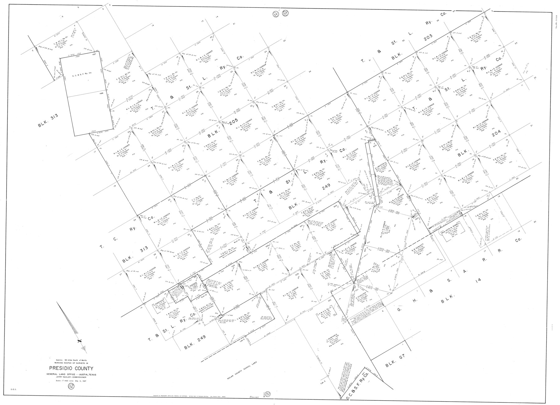
Presidio County Working Sketch 82
-
Map/Doc
71759
-
Collection
General Map Collection
-
Object Dates
5/3/1967 (Creation Date)
-
Counties
Presidio
-
Subjects
Surveying Working Sketch
-
Height x Width
48.6 x 67.2 inches
123.4 x 170.7 cm
-
Scale
1" = 400 varas
Part of: General Map Collection
Boundary Between the United States & Mexico Agreed Upon by the Joint Commission under the Treaty of Guadalupe Hidalgo

Print $4.00
- Digital $50.00
Boundary Between the United States & Mexico Agreed Upon by the Joint Commission under the Treaty of Guadalupe Hidalgo
1853
Size 24.9 x 18.1 inches
Map/Doc 65393
Andrews County Working Sketch Graphic Index

Print $40.00
- Digital $50.00
Andrews County Working Sketch Graphic Index
1951
Size 41.3 x 53.7 inches
Map/Doc 76453
Kent County Boundary File 9

Print $8.00
- Digital $50.00
Kent County Boundary File 9
Size 14.1 x 8.8 inches
Map/Doc 55883
Runnels County Working Sketch 24

Print $20.00
- Digital $50.00
Runnels County Working Sketch 24
1952
Size 30.6 x 20.0 inches
Map/Doc 63620
Coleman County Sketch File 35

Print $2.00
- Digital $50.00
Coleman County Sketch File 35
Size 8.4 x 8.2 inches
Map/Doc 18740

Bailey County Sketch File 1

Print $40.00
- Digital $50.00
Bailey County Sketch File 1
1882
Size 15.8 x 15.3 inches
Map/Doc 10880
Trinity River, Malloy Bridge Sheet

Print $20.00
- Digital $50.00
Trinity River, Malloy Bridge Sheet
1922
Size 41.7 x 40.2 inches
Map/Doc 65189
[Surveys in the Milam District along the Leon River]
![272, [Surveys in the Milam District along the Leon River], General Map Collection](https://historictexasmaps.com/wmedia_w700/maps/272.tif.jpg)
Print $20.00
- Digital $50.00
[Surveys in the Milam District along the Leon River]
1845
Size 12.0 x 15.4 inches
Map/Doc 272
Nacogdoches County Sketch File 16

Print $20.00
- Digital $50.00
Nacogdoches County Sketch File 16
1945
Size 24.6 x 18.5 inches
Map/Doc 42155
Subdivision of the W.W. Arrington Tract situated 3 miles west of Clinton in DeWitt County, Texas owned by Hugh F. McKenna, Esqr., New Orleans

Print $20.00
- Digital $50.00
Subdivision of the W.W. Arrington Tract situated 3 miles west of Clinton in DeWitt County, Texas owned by Hugh F. McKenna, Esqr., New Orleans
Size 23.6 x 16.7 inches
Map/Doc 94242
Loving County Working Sketch 21

Print $20.00
- Digital $50.00
Loving County Working Sketch 21
1984
Size 26.7 x 36.0 inches
Map/Doc 70655
You may also like
Kenedy County Working Sketch 2b

Print $20.00
- Digital $50.00
Kenedy County Working Sketch 2b
1911
Size 17.7 x 33.3 inches
Map/Doc 70004
[I. & G. N. Block 1]
![91606, [I. & G. N. Block 1], Twichell Survey Records](https://historictexasmaps.com/wmedia_w700/maps/91606-1.tif.jpg)
Print $20.00
- Digital $50.00
[I. & G. N. Block 1]
Size 34.0 x 30.2 inches
Map/Doc 91606

Lavaca County Working Sketch 14

Print $20.00
- Digital $50.00
Lavaca County Working Sketch 14
1962
Size 28.4 x 29.7 inches
Map/Doc 70367
Fisher County Rolled Sketch 3

Print $20.00
- Digital $50.00
Fisher County Rolled Sketch 3
Size 40.5 x 38.6 inches
Map/Doc 8887
Flight Mission No. BRA-8M, Frame 149, Jefferson County

Print $20.00
- Digital $50.00
Flight Mission No. BRA-8M, Frame 149, Jefferson County
1953
Size 18.8 x 22.4 inches
Map/Doc 85641
Medina County Rolled Sketch 19

Print $40.00
- Digital $50.00
Medina County Rolled Sketch 19
1987
Size 45.1 x 57.8 inches
Map/Doc 9508
Brazoria County Working Sketch 8

Print $20.00
- Digital $50.00
Brazoria County Working Sketch 8
1932
Size 25.9 x 21.5 inches
Map/Doc 67493
Brazos River, Brazos River Sheet 1

Print $20.00
- Digital $50.00
Brazos River, Brazos River Sheet 1
1926
Size 20.6 x 24.6 inches
Map/Doc 78264
Cooke County Working Sketch 20

Print $20.00
- Digital $50.00
Cooke County Working Sketch 20
1956
Size 21.1 x 10.4 inches
Map/Doc 68257
Hardin County Sketch File 6

Print $4.00
- Digital $50.00
Hardin County Sketch File 6
Size 8.0 x 12.7 inches
Map/Doc 25097
Sutton County Boundary File 6

Print $10.00
- Digital $50.00
Sutton County Boundary File 6
Size 14.4 x 8.8 inches
Map/Doc 59070