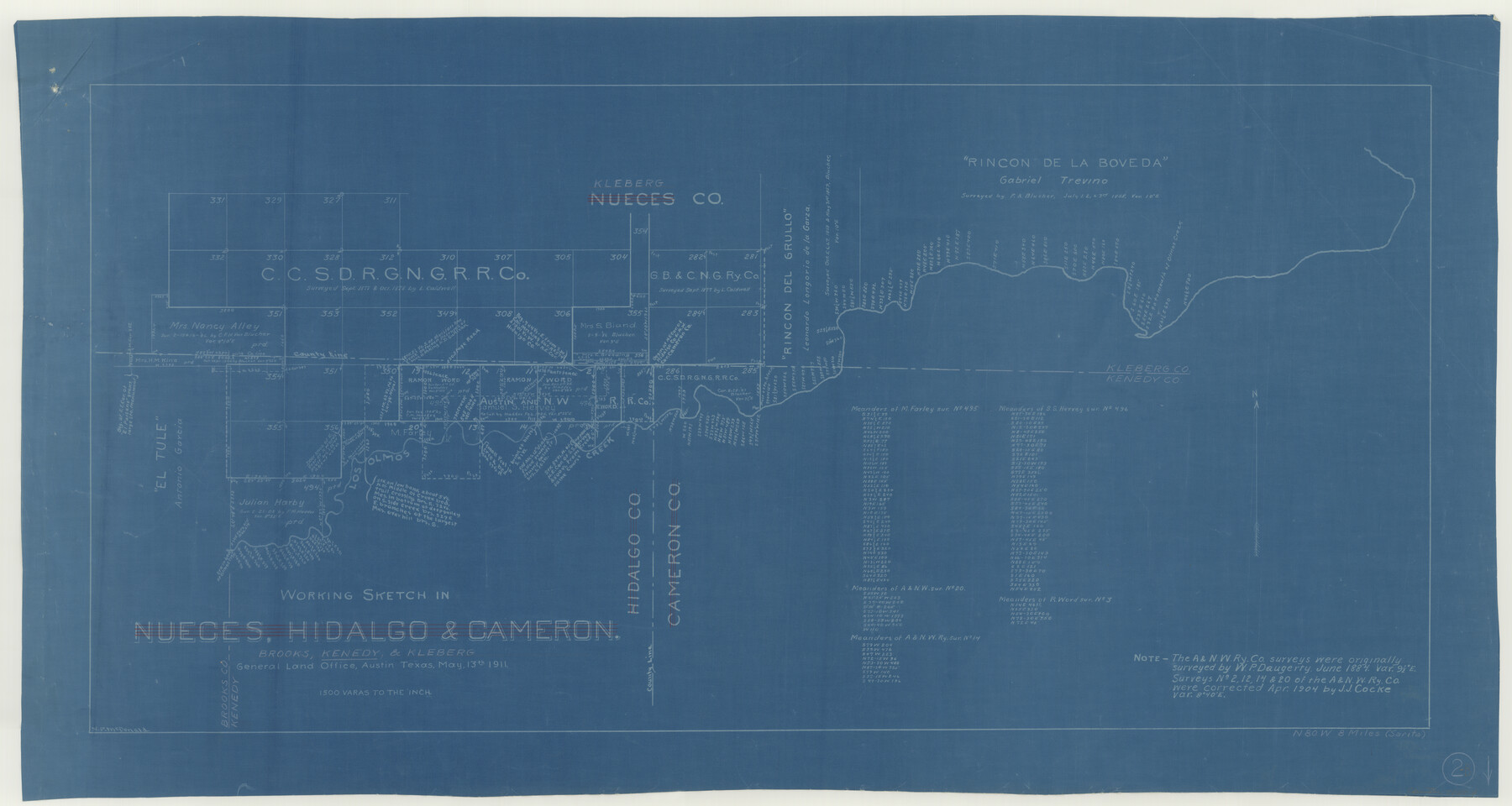
Kenedy County Working Sketch 2b
-
Map/Doc
70004
-
Collection
General Map Collection
-
Counties
Kenedy
-
Subjects
Cadastral Surveying Working Sketch
-
Height x Width
17.7 x 33.3 inches
45.0 x 84.6 cm
Part of: General Map Collection
Reeves County Working Sketch 4
![63446, Reeves County Working Sketch 4, General Map Collection](https://historictexasmaps.com/wmedia_w700/maps/63446.tif.jpg)
Print $20.00
- Digital $50.00
Reeves County Working Sketch 4
Size 32.5 x 33.1 inches
Map/Doc 63446
Flight Mission No. DQO-13T, Frame 49, Galveston County
![85214, Flight Mission No. DQO-13T, Frame 49, Galveston County, General Map Collection](https://historictexasmaps.com/wmedia_w700/pdf_converted_jpg/qi_pdf_thumbnail_32422.jpg)
Print $20.00
- Digital $50.00
Flight Mission No. DQO-13T, Frame 49, Galveston County
1958
Size 18.5 x 18.4 inches
Map/Doc 85214
Texas Official Travel Map
![94304, Texas Official Travel Map, General Map Collection](https://historictexasmaps.com/wmedia_w700/maps/94304.tif.jpg)
Digital $50.00
Texas Official Travel Map
Size 33.4 x 36.1 inches
Map/Doc 94304
Concho County Rolled Sketch 9
![5547, Concho County Rolled Sketch 9, General Map Collection](https://historictexasmaps.com/wmedia_w700/maps/5547.tif.jpg)
Print $20.00
- Digital $50.00
Concho County Rolled Sketch 9
1956
Size 18.9 x 14.0 inches
Map/Doc 5547
Map of Chambers County
![3380, Map of Chambers County, General Map Collection](https://historictexasmaps.com/wmedia_w700/maps/3380.tif.jpg)
Print $20.00
- Digital $50.00
Map of Chambers County
1874
Size 20.4 x 24.4 inches
Map/Doc 3380
Flight Mission No. DAG-26K, Frame 64, Matagorda County
![86584, Flight Mission No. DAG-26K, Frame 64, Matagorda County, General Map Collection](https://historictexasmaps.com/wmedia_w700/pdf_converted_jpg/qi_pdf_thumbnail_33725.jpg)
Print $20.00
- Digital $50.00
Flight Mission No. DAG-26K, Frame 64, Matagorda County
1953
Size 18.5 x 22.2 inches
Map/Doc 86584
Caldwell County
![77227, Caldwell County, General Map Collection](https://historictexasmaps.com/wmedia_w700/maps/77227.tif.jpg)
Print $20.00
- Digital $50.00
Caldwell County
1935
Size 36.1 x 40.3 inches
Map/Doc 77227
Bell County Sketch File 34
![14455, Bell County Sketch File 34, General Map Collection](https://historictexasmaps.com/wmedia_w700/pdf_converted_jpg/qi_pdf_thumbnail_9387.jpg)
Print $40.00
- Digital $50.00
Bell County Sketch File 34
Size 15.4 x 13.4 inches
Map/Doc 14455
Railroad Track Map, H&TCRRCo., Falls County, Texas
![62848, Railroad Track Map, H&TCRRCo., Falls County, Texas, General Map Collection](https://historictexasmaps.com/wmedia_w700/maps/62848.tif.jpg)
Print $4.00
- Digital $50.00
Railroad Track Map, H&TCRRCo., Falls County, Texas
1918
Size 11.6 x 18.6 inches
Map/Doc 62848
Lamar County Sketch File 5
![29284, Lamar County Sketch File 5, General Map Collection](https://historictexasmaps.com/wmedia_w700/pdf_converted_jpg/qi_pdf_thumbnail_12520.jpg)
Print $4.00
- Digital $50.00
Lamar County Sketch File 5
1877
Size 4.8 x 8.1 inches
Map/Doc 29284
Caldwell County Sketch File 3a
![35829, Caldwell County Sketch File 3a, General Map Collection](https://historictexasmaps.com/wmedia_w700/pdf_converted_jpg/qi_pdf_thumbnail_14044.jpg)
Print $4.00
- Digital $50.00
Caldwell County Sketch File 3a
1870
Size 10.1 x 8.1 inches
Map/Doc 35829
Flight Mission No. CRC-2R, Frame 60, Chambers County
![84731, Flight Mission No. CRC-2R, Frame 60, Chambers County, General Map Collection](https://historictexasmaps.com/wmedia_w700/pdf_converted_jpg/qi_pdf_thumbnail_31946.jpg)
Print $20.00
- Digital $50.00
Flight Mission No. CRC-2R, Frame 60, Chambers County
1956
Size 18.4 x 22.3 inches
Map/Doc 84731
You may also like
Flight Mission No. DCL-7C, Frame 4, Kenedy County
![85996, Flight Mission No. DCL-7C, Frame 4, Kenedy County, General Map Collection](https://historictexasmaps.com/wmedia_w700/pdf_converted_jpg/qi_pdf_thumbnail_33142.jpg)
Print $20.00
- Digital $50.00
Flight Mission No. DCL-7C, Frame 4, Kenedy County
1943
Size 18.6 x 22.3 inches
Map/Doc 85996
Colorado River, New Gulf Sheet
![65315, Colorado River, New Gulf Sheet, General Map Collection](https://historictexasmaps.com/wmedia_w700/maps/65315.tif.jpg)
Print $6.00
- Digital $50.00
Colorado River, New Gulf Sheet
1940
Size 24.0 x 34.9 inches
Map/Doc 65315
Sketch Showing D. Rubin Surveys
![91165, Sketch Showing D. Rubin Surveys, Twichell Survey Records](https://historictexasmaps.com/wmedia_w700/maps/91165-1.tif.jpg)
Print $20.00
- Digital $50.00
Sketch Showing D. Rubin Surveys
1926
Size 35.1 x 24.5 inches
Map/Doc 91165
Franklin County Working Sketch Graphic Index
![76546, Franklin County Working Sketch Graphic Index, General Map Collection](https://historictexasmaps.com/wmedia_w700/maps/76546.tif.jpg)
Print $20.00
- Digital $50.00
Franklin County Working Sketch Graphic Index
1942
Size 40.3 x 16.2 inches
Map/Doc 76546
Military Map of Western Texas
![76315, Military Map of Western Texas, Texas State Library and Archives](https://historictexasmaps.com/wmedia_w700/maps/76315.tif.jpg)
Print $20.00
Military Map of Western Texas
1884
Size 24.1 x 38.2 inches
Map/Doc 76315
Hardin County Rolled Sketch 15
![6086, Hardin County Rolled Sketch 15, General Map Collection](https://historictexasmaps.com/wmedia_w700/maps/6086.tif.jpg)
Print $20.00
- Digital $50.00
Hardin County Rolled Sketch 15
Size 26.6 x 29.0 inches
Map/Doc 6086
Right of Way and Track Map, Galveston, Harrisburg & San Antonio Ry. operated by the T. & N. O. R.R. Co., Victoria Division, Rosenberg to Beeville
![76159, Right of Way and Track Map, Galveston, Harrisburg & San Antonio Ry. operated by the T. & N. O. R.R. Co., Victoria Division, Rosenberg to Beeville, General Map Collection](https://historictexasmaps.com/wmedia_w700/maps/76159.tif.jpg)
Print $40.00
- Digital $50.00
Right of Way and Track Map, Galveston, Harrisburg & San Antonio Ry. operated by the T. & N. O. R.R. Co., Victoria Division, Rosenberg to Beeville
1918
Size 24.8 x 57.1 inches
Map/Doc 76159
Dimmit County Working Sketch 35
![68696, Dimmit County Working Sketch 35, General Map Collection](https://historictexasmaps.com/wmedia_w700/maps/68696.tif.jpg)
Print $4.00
- Digital $50.00
Dimmit County Working Sketch 35
Size 22.4 x 24.4 inches
Map/Doc 68696
Reagan County Rolled Sketch 12
![7440, Reagan County Rolled Sketch 12, General Map Collection](https://historictexasmaps.com/wmedia_w700/maps/7440.tif.jpg)
Print $20.00
- Digital $50.00
Reagan County Rolled Sketch 12
1940
Size 25.9 x 27.0 inches
Map/Doc 7440
Montague County Working Sketch 28
![71094, Montague County Working Sketch 28, General Map Collection](https://historictexasmaps.com/wmedia_w700/maps/71094.tif.jpg)
Print $20.00
- Digital $50.00
Montague County Working Sketch 28
Size 36.6 x 31.8 inches
Map/Doc 71094
Public Land on Mustang Island, Nueces County
![73335, Public Land on Mustang Island, Nueces County, General Map Collection](https://historictexasmaps.com/wmedia_w700/maps/73335.tif.jpg)
Print $20.00
- Digital $50.00
Public Land on Mustang Island, Nueces County
1945
Size 43.4 x 40.1 inches
Map/Doc 73335
Principal Highways of the Southwest with particular reference to New Mexico, Oklahoma, Texas, Arkansas and Louisiana
![76302, Principal Highways of the Southwest with particular reference to New Mexico, Oklahoma, Texas, Arkansas and Louisiana, Texas State Library and Archives](https://historictexasmaps.com/wmedia_w700/maps/76302.tif.jpg)
Print $20.00
Principal Highways of the Southwest with particular reference to New Mexico, Oklahoma, Texas, Arkansas and Louisiana
1933
Size 24.3 x 18.4 inches
Map/Doc 76302