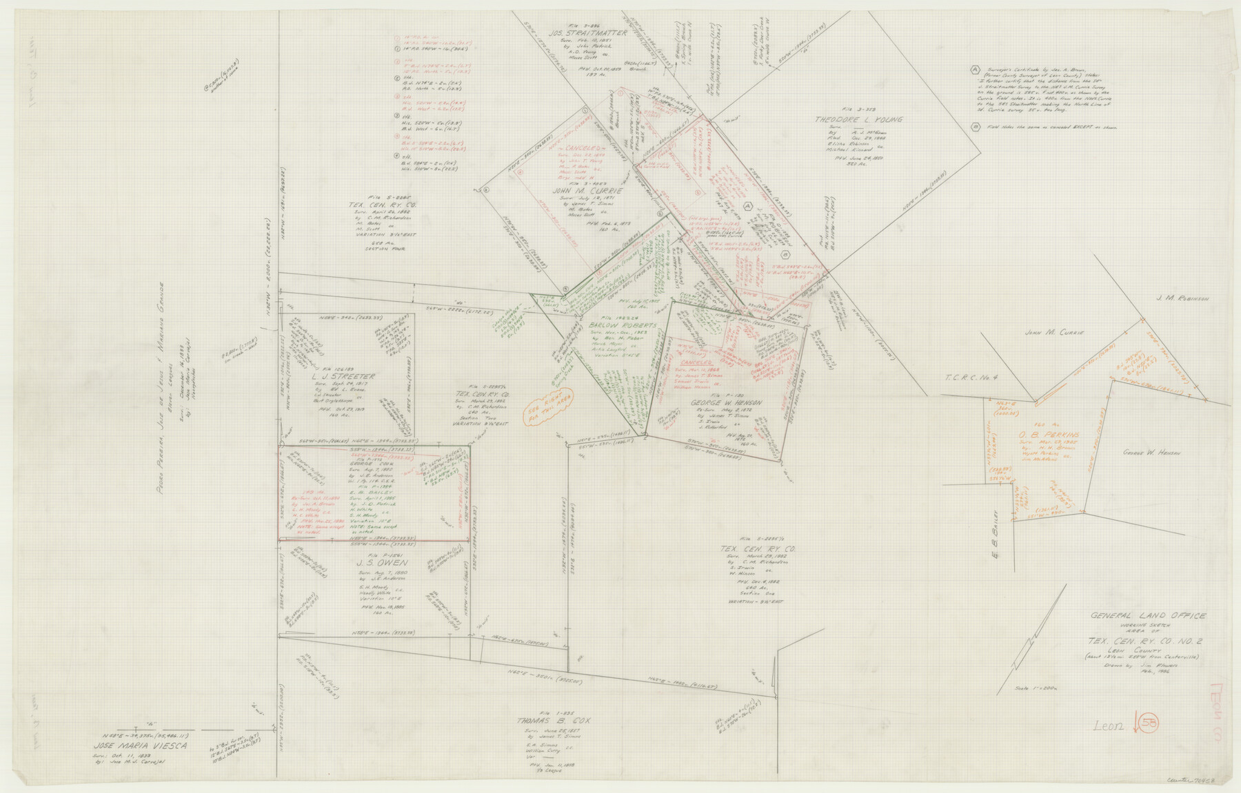
Leon County Working Sketch 58
-
Map/Doc
70458
-
Collection
General Map Collection
-
Object Dates
2/1986 (Creation Date)
-
People and Organizations
Jimmie D. Flowers (Draftsman)
-
Counties
Leon
-
Subjects
Surveying Working Sketch
-
Height x Width
27.7 x 43.3 inches
70.4 x 110.0 cm
-
Scale
1" = 200 varas
Part of: General Map Collection
Falls County Boundary File 2

Print $6.00
- Digital $50.00
Falls County Boundary File 2
Size 9.9 x 6.6 inches
Map/Doc 53263

Denton County Working Sketch 35

Print $20.00
- Digital $50.00
Denton County Working Sketch 35
2008
Size 24.7 x 19.3 inches
Map/Doc 88821
Culberson County Sketch File 10

Print $4.00
- Digital $50.00
Culberson County Sketch File 10
1911
Size 14.6 x 9.0 inches
Map/Doc 20144
Mustang Island, Nueces County, Texas

Print $20.00
- Digital $50.00
Mustang Island, Nueces County, Texas
1978
Size 40.7 x 36.2 inches
Map/Doc 2500
Flight Mission No. DQN-6K, Frame 13, Calhoun County

Print $20.00
- Digital $50.00
Flight Mission No. DQN-6K, Frame 13, Calhoun County
1953
Size 18.5 x 22.2 inches
Map/Doc 84435
Map of Webb County

Print $20.00
- Digital $50.00
Map of Webb County
1895
Size 34.8 x 27.0 inches
Map/Doc 4132
Van Zandt County Working Sketch 1

Print $20.00
- Digital $50.00
Van Zandt County Working Sketch 1
1946
Size 23.7 x 30.0 inches
Map/Doc 72250
Flight Mission No. DAG-23K, Frame 181, Matagorda County

Print $20.00
- Digital $50.00
Flight Mission No. DAG-23K, Frame 181, Matagorda County
1953
Size 18.7 x 22.4 inches
Map/Doc 86516
Map of Galveston, Turtle & East Bays & portions of the Gulf of Mexico in Chambers & Galveston Counties, Texas showing subdivision for mineral development

Print $40.00
- Digital $50.00
Map of Galveston, Turtle & East Bays & portions of the Gulf of Mexico in Chambers & Galveston Counties, Texas showing subdivision for mineral development
1945
Size 46.3 x 52.8 inches
Map/Doc 3068
Val Verde County Rolled Sketch 75

Print $20.00
- Digital $50.00
Val Verde County Rolled Sketch 75
1972
Size 28.9 x 40.6 inches
Map/Doc 8138
Throckmorton County

Print $20.00
- Digital $50.00
Throckmorton County
1885
Size 24.9 x 18.7 inches
Map/Doc 4080
You may also like
Controlled Mosaic by Jack Amman Photogrammetric Engineers, Inc - Sheet 49

Print $20.00
- Digital $50.00
Controlled Mosaic by Jack Amman Photogrammetric Engineers, Inc - Sheet 49
1954
Size 20.0 x 24.0 inches
Map/Doc 83508
Val Verde County Working Sketch 60

Print $20.00
- Digital $50.00
Val Verde County Working Sketch 60
1958
Size 32.1 x 32.4 inches
Map/Doc 72195
Liberty County Rolled Sketch 15

Print $20.00
- Digital $50.00
Liberty County Rolled Sketch 15
2015
Size 36.2 x 24.5 inches
Map/Doc 94024

Stonewall County Sketch File 12 and 12a

Print $30.00
- Digital $50.00
Stonewall County Sketch File 12 and 12a
1900
Size 9.2 x 9.0 inches
Map/Doc 37240
Zavala County Sketch File 44

Print $25.00
- Digital $50.00
Zavala County Sketch File 44
1915
Size 10.1 x 14.3 inches
Map/Doc 41416
[H. & G. N. RR. Company, Block B3]
![90718, [H. & G. N. RR. Company, Block B3], Twichell Survey Records](https://historictexasmaps.com/wmedia_w700/maps/90718-1.tif.jpg)
Print $20.00
- Digital $50.00
[H. & G. N. RR. Company, Block B3]
Size 34.9 x 28.8 inches
Map/Doc 90718
[Capitol Leagues, Blocks 49 H. & T. C. RR. Company, Block LC2]
![90769, [Capitol Leagues, Blocks 49 H. & T. C. RR. Company, Block LC2], Twichell Survey Records](https://historictexasmaps.com/wmedia_w700/maps/90769-1.tif.jpg)
Print $20.00
- Digital $50.00
[Capitol Leagues, Blocks 49 H. & T. C. RR. Company, Block LC2]
1883
Size 39.2 x 24.8 inches
Map/Doc 90769
Garza County Sketch File H

Print $20.00
- Digital $50.00
Garza County Sketch File H
Size 43.1 x 38.7 inches
Map/Doc 10472
Flight Mission No. DQN-3K, Frame 69, Calhoun County

Print $20.00
- Digital $50.00
Flight Mission No. DQN-3K, Frame 69, Calhoun County
1953
Size 18.5 x 22.3 inches
Map/Doc 84360
Station Map, the Missouri, Kansas and Texas Ry. Of Texas - Henrietta Division

Print $20.00
- Digital $50.00
Station Map, the Missouri, Kansas and Texas Ry. Of Texas - Henrietta Division
1918
Size 11.8 x 26.7 inches
Map/Doc 64763
Grayson County Boundary File 1a

Print $120.00
- Digital $50.00
Grayson County Boundary File 1a
Size 69.3 x 11.3 inches
Map/Doc 53928