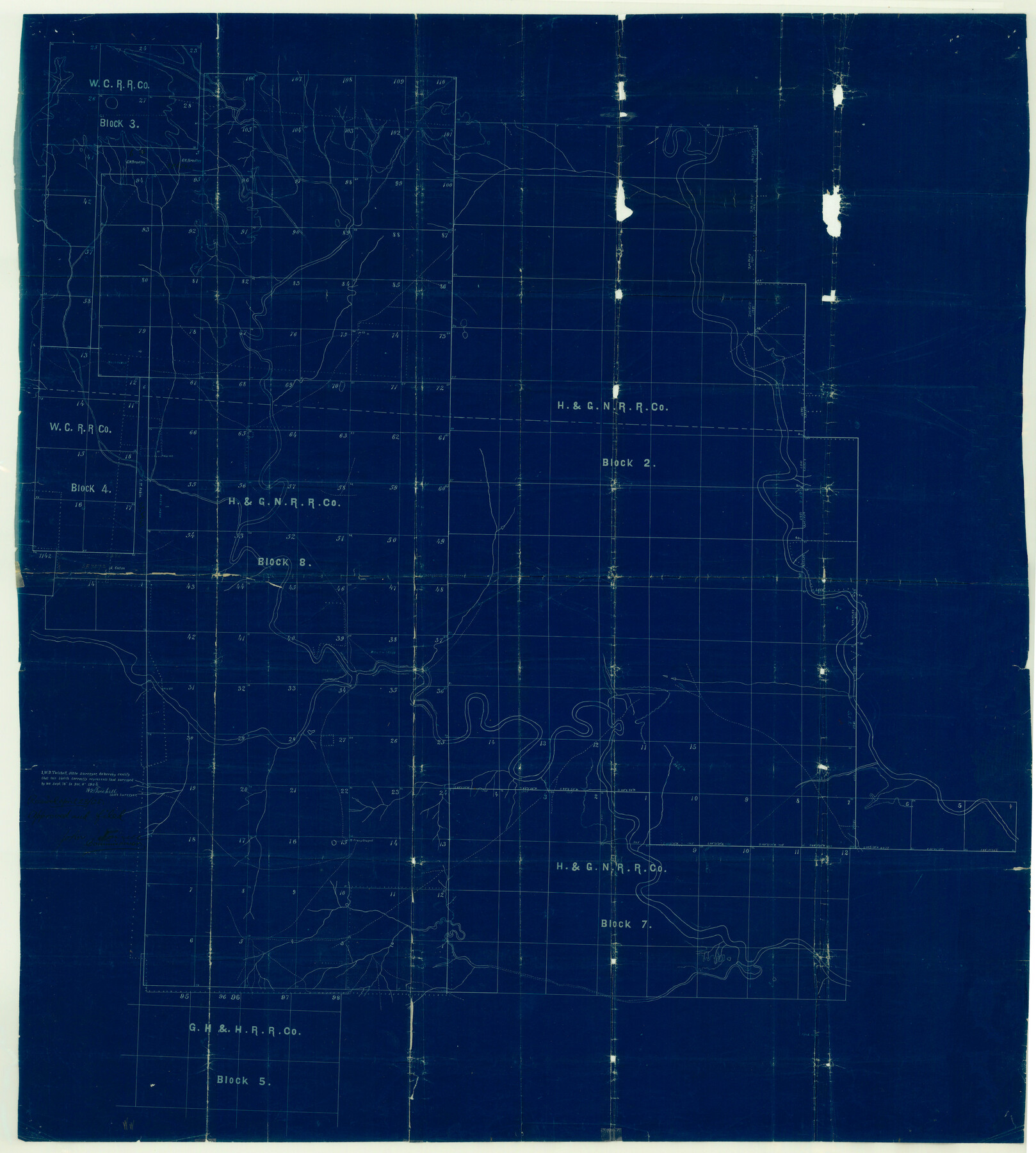
Garza County Sketch File H
Sketch of Surveys in Block 8, H&GN. R.R. Co. in Garza & Crosby Counties
-
Map/Doc
10472
-
Collection
General Map Collection
-
Object Dates
1905/4/28 (File Date)
1904/9/16 (Survey Date)
1904/12/8 (Survey Date)
-
People and Organizations
W.D. Twichell (Surveyor/Engineer)
-
Counties
Garza Crosby Kent
-
Subjects
Surveying Sketch File
-
Height x Width
43.1 x 38.7 inches
109.5 x 98.3 cm
-
Medium
blueprint/diazo
Part of: General Map Collection
History of Texas from its First Settlement in 1685 to its Annexation to the United States in 1846 (Vol. 1)

History of Texas from its First Settlement in 1685 to its Annexation to the United States in 1846 (Vol. 1)
1856
Map/Doc 97390
Baylor County Sketch File 6a

Print $6.00
- Digital $50.00
Baylor County Sketch File 6a
1887
Size 10.8 x 8.1 inches
Map/Doc 14132
Lipscomb County Rolled Sketch 1

Print $40.00
- Digital $50.00
Lipscomb County Rolled Sketch 1
Size 65.0 x 15.8 inches
Map/Doc 9449
Grayson County Working Sketch 25

Print $20.00
- Digital $50.00
Grayson County Working Sketch 25
1979
Size 34.8 x 35.0 inches
Map/Doc 63264
Denton County Working Sketch 2

Print $20.00
- Digital $50.00
Denton County Working Sketch 2
Size 21.2 x 17.7 inches
Map/Doc 68607
Bee County Working Sketch 31a

Print $20.00
- Digital $50.00
Bee County Working Sketch 31a
1988
Size 39.5 x 43.2 inches
Map/Doc 76052
Upton County Working Sketch 20

Print $40.00
- Digital $50.00
Upton County Working Sketch 20
1950
Size 52.8 x 42.1 inches
Map/Doc 69516
Flight Mission No. DIX-8P, Frame 91, Aransas County

Print $20.00
- Digital $50.00
Flight Mission No. DIX-8P, Frame 91, Aransas County
1956
Size 18.5 x 22.4 inches
Map/Doc 83916
Pecos County Sketch File 80

Print $6.00
- Digital $50.00
Pecos County Sketch File 80
1942
Size 8.9 x 11.9 inches
Map/Doc 33918
Lubbock County Boundary File 10

Print $108.00
- Digital $50.00
Lubbock County Boundary File 10
Size 14.3 x 8.7 inches
Map/Doc 56549

Rains County Sketch File 9

Print $20.00
- Digital $50.00
Rains County Sketch File 9
Size 14.2 x 16.3 inches
Map/Doc 34960
You may also like
Geological map of Texas showing approximate locations and drilling wells. Also names of companies drilling

Print $20.00
- Digital $50.00
Geological map of Texas showing approximate locations and drilling wells. Also names of companies drilling
1920
Size 26.9 x 26.6 inches
Map/Doc 93937

Supreme Court of the United States, October Term, 1923, No. 15, Original - The State of Oklahoma, Complainant vs. The State of Texas, Defendant, The United States, Intervener; Report of the Boundary Commissioners

Print $20.00
- Digital $50.00
Supreme Court of the United States, October Term, 1923, No. 15, Original - The State of Oklahoma, Complainant vs. The State of Texas, Defendant, The United States, Intervener; Report of the Boundary Commissioners
1923
Size 34.4 x 40.6 inches
Map/Doc 75120
[North County Line]
![90521, [North County Line], Twichell Survey Records](https://historictexasmaps.com/wmedia_w700/maps/90521-1.tif.jpg)
Print $3.00
- Digital $50.00
[North County Line]
Size 17.3 x 6.6 inches
Map/Doc 90521
Map of Block No. "M1" made for the "School Fund" (32 Confederates)

Print $20.00
- Digital $50.00
Map of Block No. "M1" made for the "School Fund" (32 Confederates)
1882
Size 18.5 x 11.2 inches
Map/Doc 684
General Highway Map, Hudspeth County, Texas

Print $20.00
General Highway Map, Hudspeth County, Texas
1940
Size 24.7 x 18.4 inches
Map/Doc 79135
Harris County Sketch File 33a

Print $20.00
- Digital $50.00
Harris County Sketch File 33a
Size 34.1 x 30.0 inches
Map/Doc 10478
Texas Urbanization and Population Density

Texas Urbanization and Population Density
1976
Size 19.3 x 23.9 inches
Map/Doc 93729
North America and the West Indies

Print $20.00
- Digital $50.00
North America and the West Indies
1763
Size 41.6 x 46.9 inches
Map/Doc 93834
Sketches of Surveys in Jefferson County

Print $2.00
- Digital $50.00
Sketches of Surveys in Jefferson County
1841
Size 7.5 x 7.0 inches
Map/Doc 326
Map of the United States of Mexico drawn and compiled from the latest Mexican and United States Government authorities, and other reliable sources

Print $20.00
- Digital $50.00
Map of the United States of Mexico drawn and compiled from the latest Mexican and United States Government authorities, and other reliable sources
1895
Size 17.3 x 24.8 inches
Map/Doc 94083
FT. W. & R. G. Ry. Right of Way Map, Whiteland to Lightner, Concho County, Texas

Print $40.00
- Digital $50.00
FT. W. & R. G. Ry. Right of Way Map, Whiteland to Lightner, Concho County, Texas
1918
Size 37.5 x 68.4 inches
Map/Doc 61413