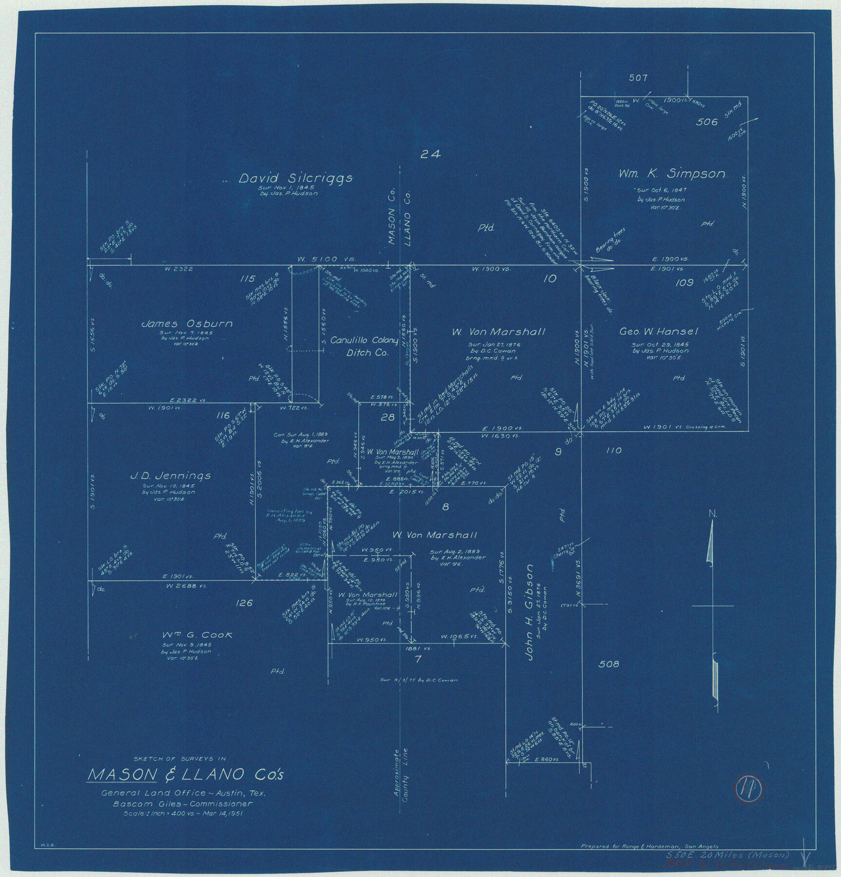
Mason County Working Sketch 11
-
Map/Doc
70847
-
Collection
General Map Collection
-
Object Dates
3/14/1951 (Creation Date)
-
People and Organizations
W. S. Brewington (Draftsman)
-
Counties
Mason Llano
-
Subjects
Surveying Working Sketch
-
Height x Width
24.7 x 23.7 inches
62.7 x 60.2 cm
-
Scale
1" = 400 varas
Part of: General Map Collection
Erath County Sketch File 26

Print $6.00
- Digital $50.00
Erath County Sketch File 26
1896
Size 9.5 x 8.1 inches
Map/Doc 22306
Map of Kendall County

Print $20.00
- Digital $50.00
Map of Kendall County
1899
Size 36.8 x 34.2 inches
Map/Doc 66887
Midland County Boundary File 1a

Print $4.00
- Digital $50.00
Midland County Boundary File 1a
Size 9.5 x 6.0 inches
Map/Doc 57160
Flight Mission No. CRC-3R, Frame 51, Chambers County

Print $20.00
- Digital $50.00
Flight Mission No. CRC-3R, Frame 51, Chambers County
1956
Size 18.7 x 22.4 inches
Map/Doc 84824
Flight Mission No. DQO-3K, Frame 40, Galveston County

Print $20.00
- Digital $50.00
Flight Mission No. DQO-3K, Frame 40, Galveston County
1952
Size 18.8 x 22.4 inches
Map/Doc 85081
Lee County & Burleson County

Print $20.00
- Digital $50.00
Lee County & Burleson County
1867
Size 18.0 x 31.9 inches
Map/Doc 3346
Wilbarger County Working Sketch 9

Print $20.00
- Digital $50.00
Wilbarger County Working Sketch 9
1950
Size 21.3 x 27.6 inches
Map/Doc 72547
Lynn County Boundary File 4a

Print $6.00
- Digital $50.00
Lynn County Boundary File 4a
Size 14.3 x 8.8 inches
Map/Doc 56627
Flight Mission No. BRA-7M, Frame117, Jefferson County

Print $20.00
- Digital $50.00
Flight Mission No. BRA-7M, Frame117, Jefferson County
1953
Size 18.7 x 22.4 inches
Map/Doc 85511
Brewster County Rolled Sketch 81

Print $20.00
- Digital $50.00
Brewster County Rolled Sketch 81
1945
Size 30.8 x 33.9 inches
Map/Doc 8494
Lavaca County Sketch File 2

Print $6.00
- Digital $50.00
Lavaca County Sketch File 2
1849
Size 8.7 x 7.5 inches
Map/Doc 29630
Kaufman County Boundary File 1

Print $8.00
- Digital $50.00
Kaufman County Boundary File 1
Size 7.7 x 3.6 inches
Map/Doc 55903
You may also like
Wilbarger County Sketch File 6

Print $6.00
- Digital $50.00
Wilbarger County Sketch File 6
1874
Size 12.6 x 7.8 inches
Map/Doc 40172
St. L. S-W. Ry. of Texas Map of Hillsboro Branch in Navarro County, Texas M.P. 621 to M.P. 648

Print $40.00
- Digital $50.00
St. L. S-W. Ry. of Texas Map of Hillsboro Branch in Navarro County, Texas M.P. 621 to M.P. 648
1913
Size 28.0 x 431.2 inches
Map/Doc 94016
Hardin County Sketch File 12a

Print $4.00
- Digital $50.00
Hardin County Sketch File 12a
1866
Size 6.6 x 7.4 inches
Map/Doc 25118
[Capitol Lands, Block B6]
![91402, [Capitol Lands, Block B6], Twichell Survey Records](https://historictexasmaps.com/wmedia_w700/maps/91402-1.tif.jpg)
Print $20.00
- Digital $50.00
[Capitol Lands, Block B6]
Size 22.7 x 27.4 inches
Map/Doc 91402
Palo Pinto County Boundary File 1

Print $4.00
- Digital $50.00
Palo Pinto County Boundary File 1
Size 12.8 x 8.4 inches
Map/Doc 57789
Nacogdoches County Sketch File 15

Print $10.00
- Digital $50.00
Nacogdoches County Sketch File 15
1926
Size 11.2 x 8.7 inches
Map/Doc 32262
Potter County Sketch File 21

Print $6.00
- Digital $50.00
Potter County Sketch File 21
1930
Size 14.1 x 9.7 inches
Map/Doc 34413
Real County Rolled Sketch 18

Print $20.00
- Digital $50.00
Real County Rolled Sketch 18
Size 21.2 x 27.7 inches
Map/Doc 7465
Val Verde County Working Sketch 38

Print $20.00
- Digital $50.00
Val Verde County Working Sketch 38
1943
Size 14.8 x 18.9 inches
Map/Doc 72173
Aransas County Working Sketch Graphic Index

Print $20.00
- Digital $50.00
Aransas County Working Sketch Graphic Index
1947
Size 36.8 x 36.6 inches
Map/Doc 76455
Ellis County Sketch File 7

Print $40.00
- Digital $50.00
Ellis County Sketch File 7
1859
Size 12.2 x 15.6 inches
Map/Doc 21839
Sketch H No. V Showing the observed and computed Tidal Curves at Cat Island, Mississippi Sound in 1848 & 1849

Print $20.00
- Digital $50.00
Sketch H No. V Showing the observed and computed Tidal Curves at Cat Island, Mississippi Sound in 1848 & 1849
1852
Size 12.3 x 19.5 inches
Map/Doc 97226