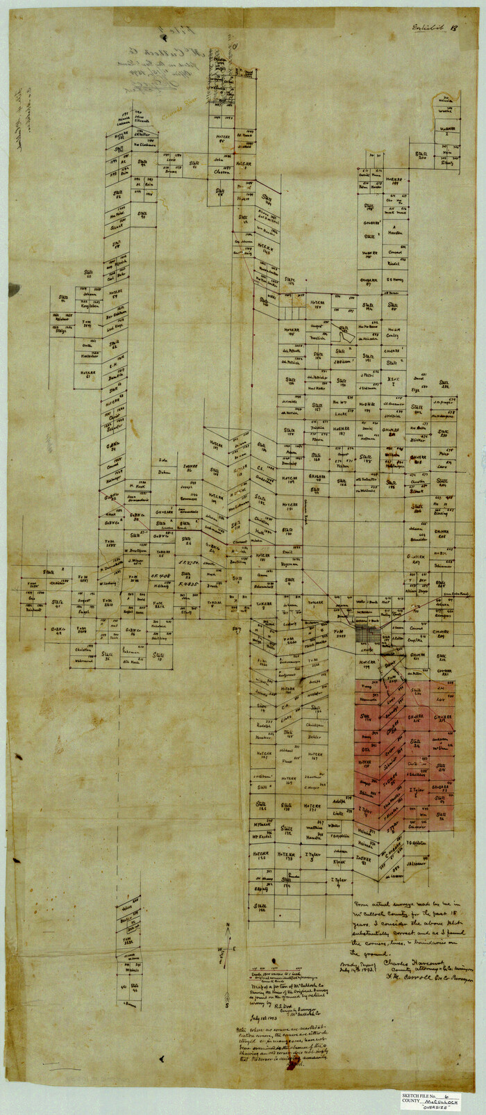
McCulloch County Sketch File 6
1893

Mason County Sketch File 5
1875
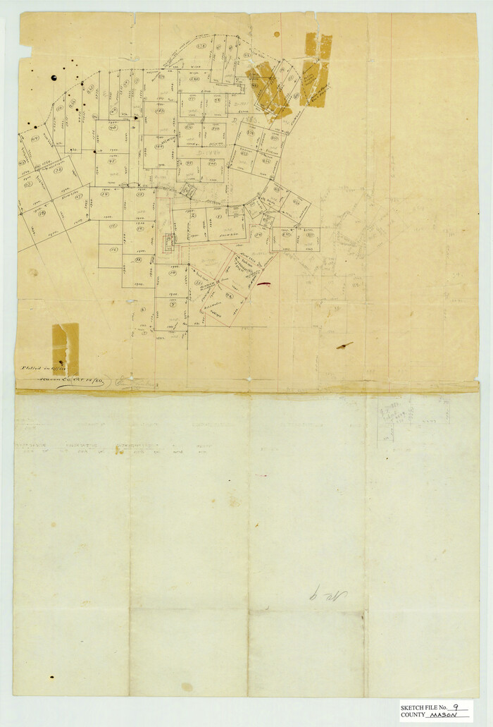
Mason County Sketch File 9
1880
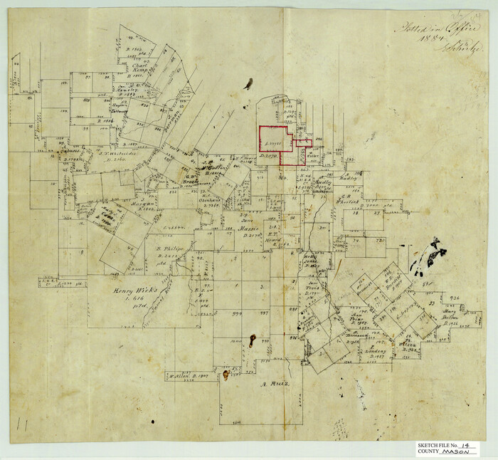
Mason County Sketch File 14
1884
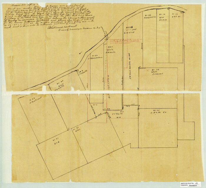
Mason County Sketch File 19
1901

Mason County Sketch File 21A
1932

Map of Fisher and Miller's Colony made from the records in the Office of the District Surveyor of Bexar comprising also all the recent surveys
1855

Gillespie County Sketch File 2
1847
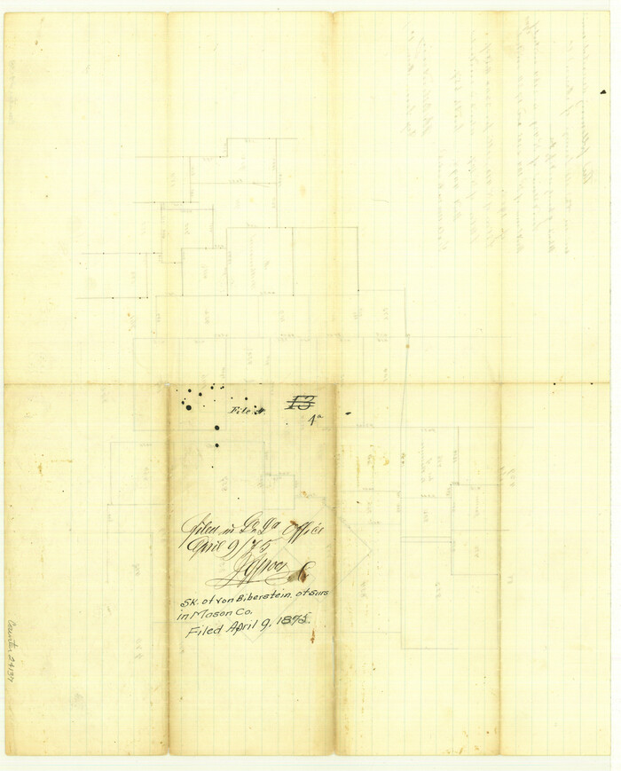
Gillespie County Sketch File 4a

Gillespie County Sketch File 14
1880
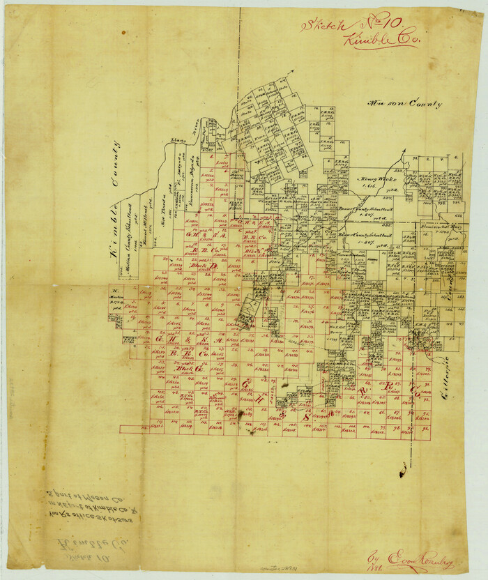
Kimble County Sketch File 10
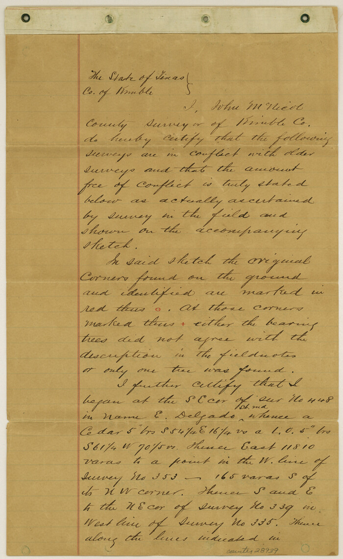
Kimble County Sketch File 14
1886

Kimble County Sketch File B

Llano County Sketch File 9

Mason County Sketch File 1
1857
Mason County Sketch File 2
1847

Mason County Sketch File 3a
1877

Mason County Sketch File 4
1875

Mason County Sketch File 6
1875
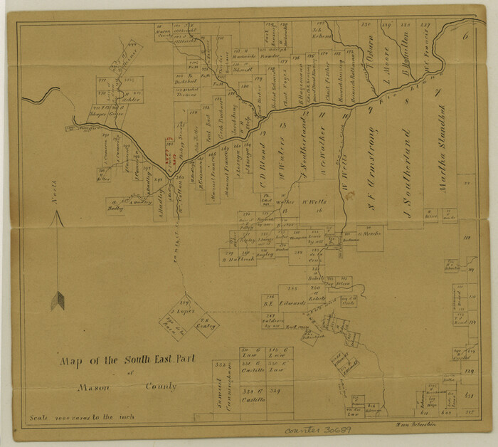
Mason County Sketch File 7

Mason County Sketch File 8
1876
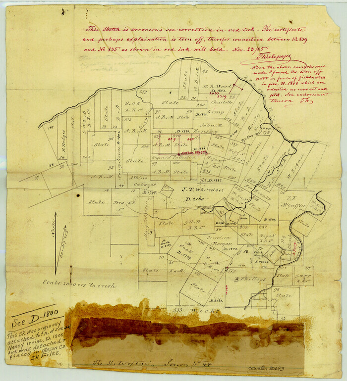
Mason County Sketch File 10
1885

Mason County Sketch File 11
1883
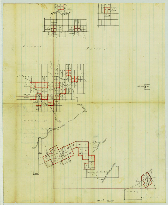
Mason County Sketch File 12

Mason County Sketch File 13
Mason County Sketch File 16

Mason County Sketch File 17
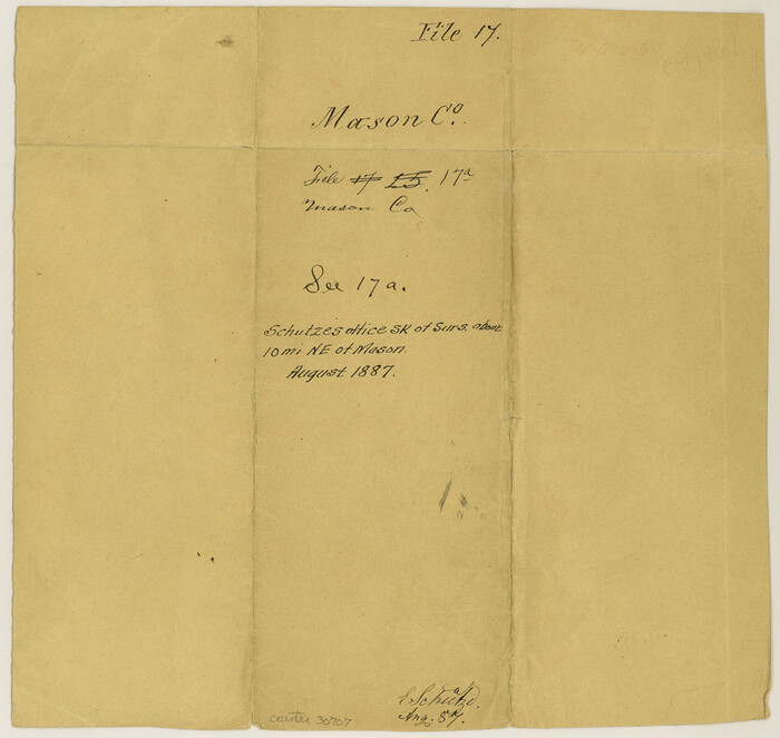
Mason County Sketch File 17a
1887
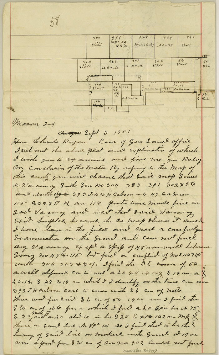
Mason County Sketch File 18
1901

McCulloch County Sketch File 6
1893
-
Size
44.2 x 19.3 inches
-
Map/Doc
10539
-
Creation Date
1893

Mason County Sketch File 5
1875
-
Size
15.8 x 12.9 inches
-
Map/Doc
12033
-
Creation Date
1875

Mason County Sketch File 9
1880
-
Size
20.5 x 13.9 inches
-
Map/Doc
12034
-
Creation Date
1880

Mason County Sketch File 14
1884
-
Size
15.2 x 16.4 inches
-
Map/Doc
12035
-
Creation Date
1884

Mason County Sketch File 19
1901
-
Size
19.1 x 20.9 inches
-
Map/Doc
12036
-
Creation Date
1901

Mason County Sketch File 21A
1932
-
Size
19.2 x 26.6 inches
-
Map/Doc
12037
-
Creation Date
1932
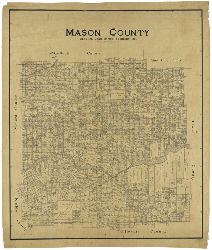
Mason County
1921
-
Size
46.2 x 39.1 inches
-
Map/Doc
1890
-
Creation Date
1921

Map of Fisher and Miller's Colony made from the records in the Office of the District Surveyor of Bexar comprising also all the recent surveys
1855
-
Size
23.7 x 35.2 inches
-
Map/Doc
1971
-
Creation Date
1855

Gillespie County Sketch File 2
1847
-
Size
12.8 x 15.5 inches
-
Map/Doc
24127
-
Creation Date
1847

Gillespie County Sketch File 4a
-
Size
15.8 x 12.8 inches
-
Map/Doc
24137

Gillespie County Sketch File 14
1880
-
Size
10.1 x 11.4 inches
-
Map/Doc
24155
-
Creation Date
1880

Kimble County Sketch File 10
-
Size
18.5 x 15.6 inches
-
Map/Doc
28931

Kimble County Sketch File 14
1886
-
Size
14.1 x 8.6 inches
-
Map/Doc
28939
-
Creation Date
1886

Kimble County Sketch File B
-
Size
14.3 x 12.7 inches
-
Map/Doc
28963

Llano County Sketch File 9
-
Size
8.6 x 13.1 inches
-
Map/Doc
30369

Mason County Sketch File 1
1857
-
Size
11.0 x 8.2 inches
-
Map/Doc
30677
-
Creation Date
1857

Mason County Sketch File 2
1847
-
Size
8.0 x 14.2 inches
-
Map/Doc
30680
-
Creation Date
1847

Mason County Sketch File 3a
1877
-
Size
8.3 x 7.9 inches
-
Map/Doc
30682
-
Creation Date
1877

Mason County Sketch File 4
1875
-
Size
12.9 x 8.0 inches
-
Map/Doc
30684
-
Creation Date
1875

Mason County Sketch File 6
1875
-
Size
8.8 x 14.5 inches
-
Map/Doc
30687
-
Creation Date
1875

Mason County Sketch File 7
-
Size
7.9 x 8.8 inches
-
Map/Doc
30689

Mason County Sketch File 8
1876
-
Size
13.2 x 8.4 inches
-
Map/Doc
30691
-
Creation Date
1876

Mason County Sketch File 10
1885
-
Size
12.8 x 11.6 inches
-
Map/Doc
30693
-
Creation Date
1885

Mason County Sketch File 11
1883
-
Size
13.5 x 8.6 inches
-
Map/Doc
30695
-
Creation Date
1883

Mason County Sketch File 12
-
Size
15.8 x 12.9 inches
-
Map/Doc
30699

Mason County Sketch File 13
-
Size
7.3 x 6.2 inches
-
Map/Doc
30701

Mason County Sketch File 16
-
Size
9.1 x 11.2 inches
-
Map/Doc
30703

Mason County Sketch File 17
-
Size
8.4 x 12.4 inches
-
Map/Doc
30705

Mason County Sketch File 17a
1887
-
Size
10.3 x 10.9 inches
-
Map/Doc
30707
-
Creation Date
1887

Mason County Sketch File 18
1901
-
Size
14.0 x 8.6 inches
-
Map/Doc
30709
-
Creation Date
1901