
Mason County Rolled Sketch 8
2010
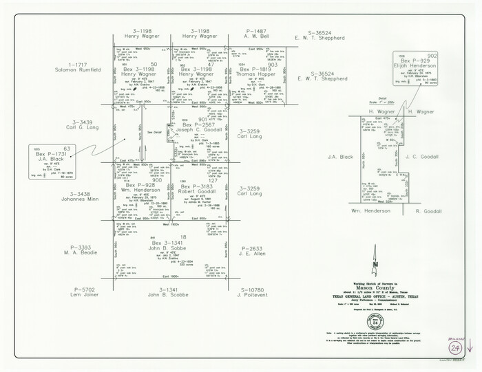
Mason County Working Sketch 24
2008
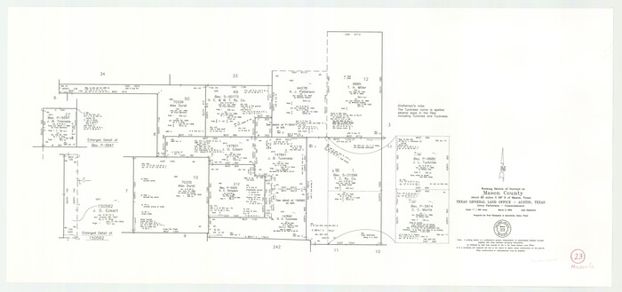
Mason County Working Sketch 23
2004
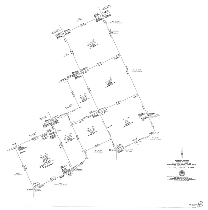
Mason County Working Sketch 22
2000

Mason County Rolled Sketch 7
1986
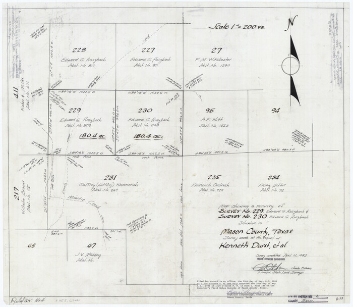
Mason County Rolled Sketch 4
1983
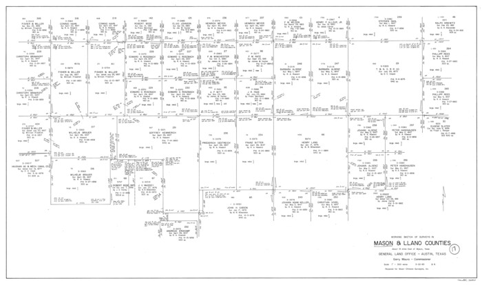
Mason County Working Sketch 17
1983
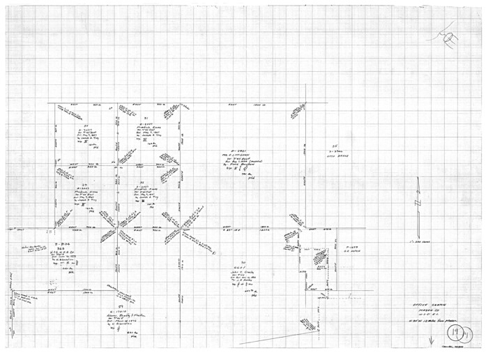
Mason County Working Sketch 19
1981
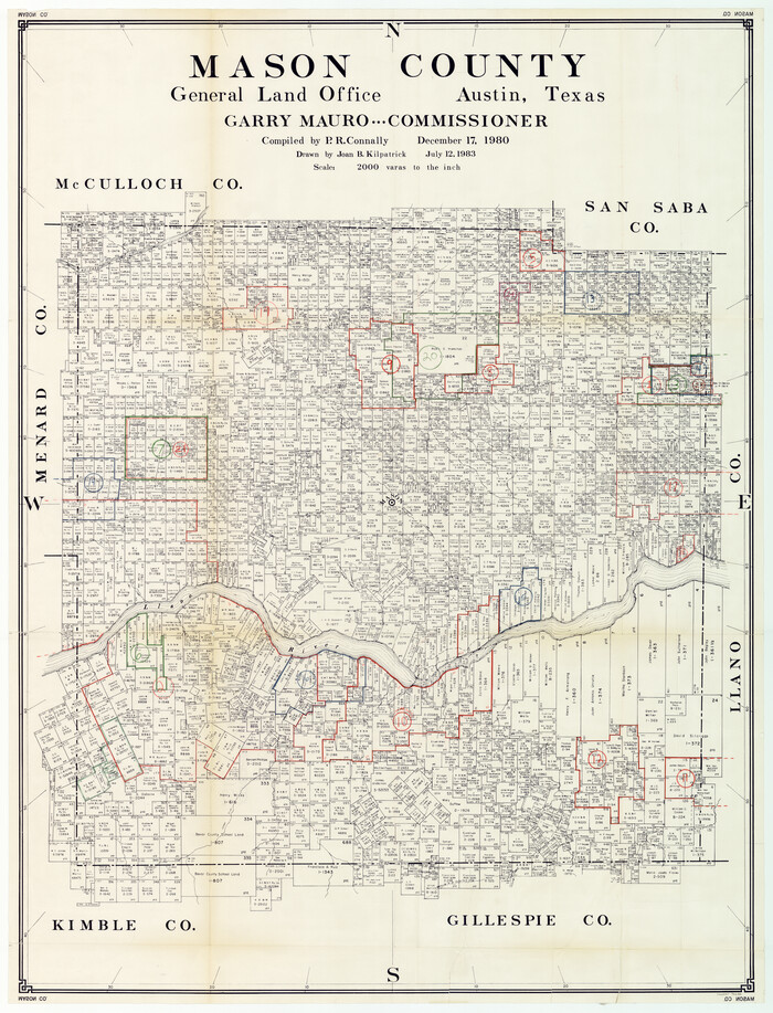
Mason County Working Sketch Graphic Index
1980
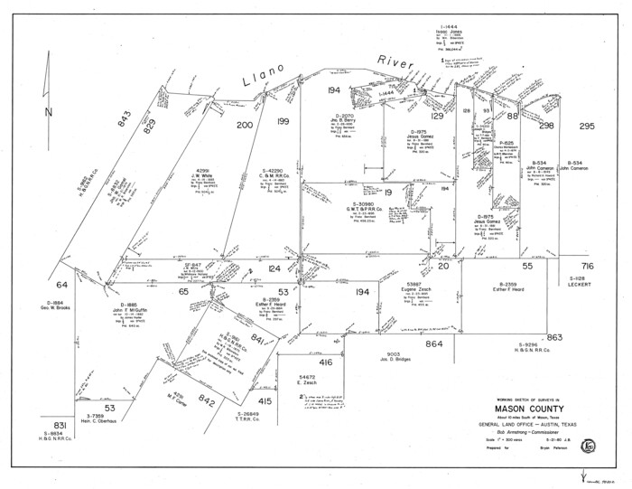
Mason County Working Sketch 16
1980

Mason County Working Sketch 18
1980
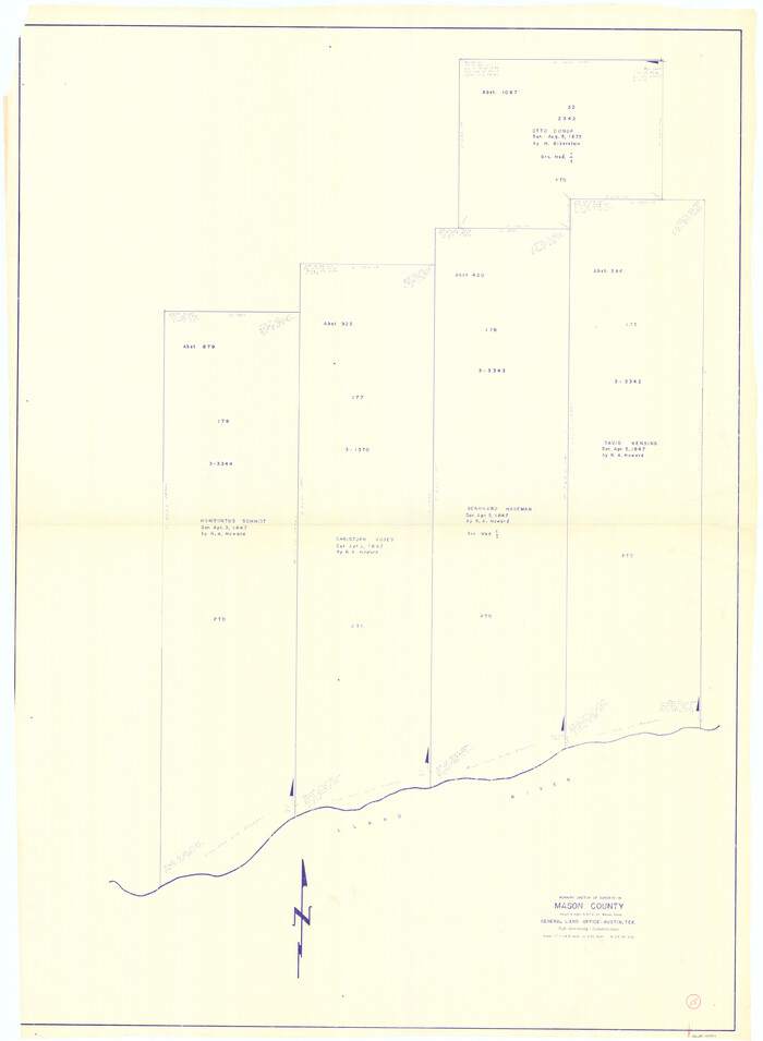
Mason County Working Sketch 15
1976
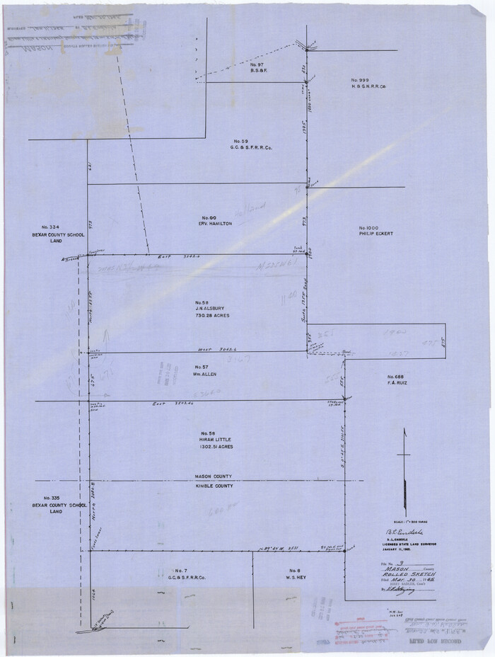
Mason County Rolled Sketch 3
1965

General Highway Map, Mason County, Texas
1961

Mason County Sketch File 24
1959

Mason County Working Sketch 14
1959

Mason County Working Sketch 13
1954

Mason County Rolled Sketch 2
1952
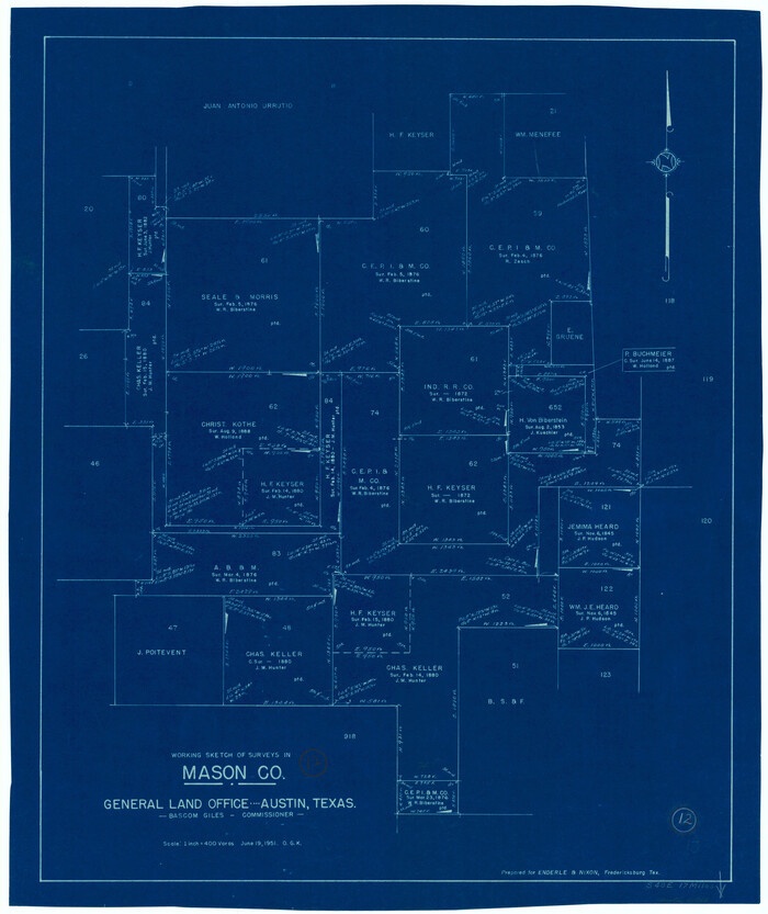
Mason County Working Sketch 12
1951
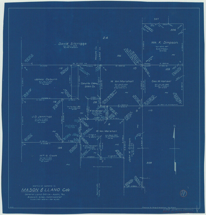
Mason County Working Sketch 11
1951
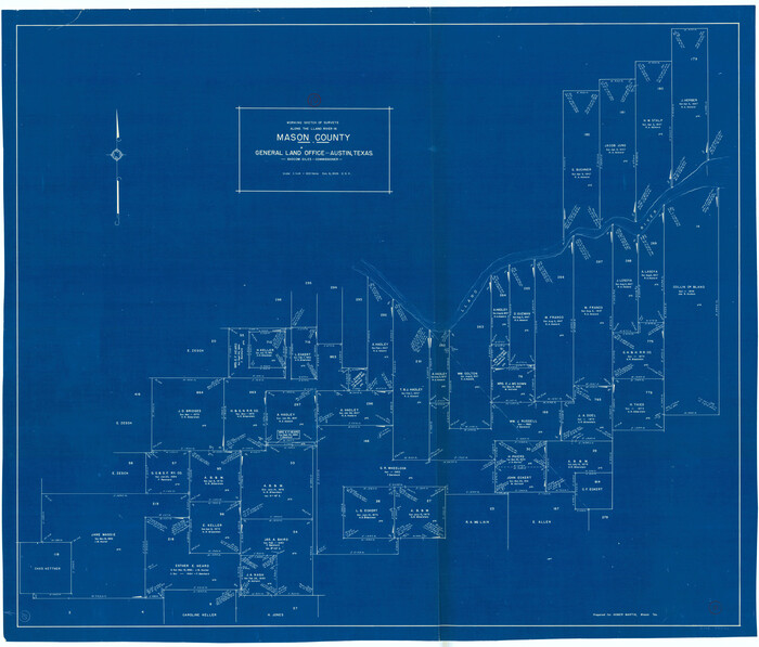
Mason County Working Sketch 10
1949

Mason County Working Sketch 9
1949
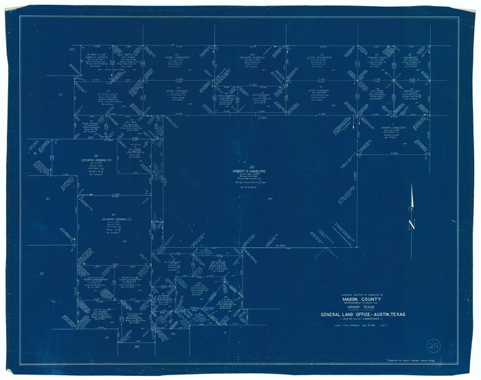
Mason County Working Sketch 20
1946

Mason County Working Sketch 8
1946
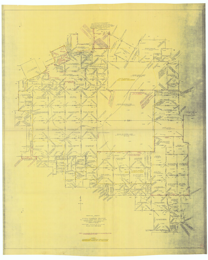
Kimble County Working Sketch 36
1946
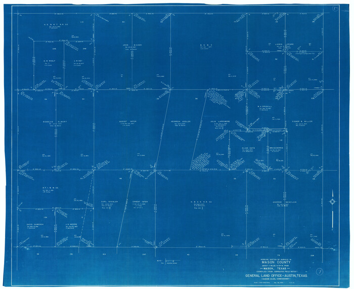
Mason County Working Sketch 7
1945
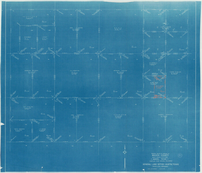
Mason County Working Sketch 21
1945

Mason County Rolled Sketch 8
2010
-
Size
18.5 x 24.4 inches
-
Map/Doc
89283
-
Creation Date
2010

Mason County Working Sketch 24
2008
-
Size
20.5 x 26.5 inches
-
Map/Doc
88825
-
Creation Date
2008

Mason County Working Sketch 23
2004
-
Size
17.4 x 36.9 inches
-
Map/Doc
83577
-
Creation Date
2004

Mason County Working Sketch 22
2000
-
Size
31.1 x 30.8 inches
-
Map/Doc
70858
-
Creation Date
2000

Mason County Rolled Sketch 7
1986
-
Size
24.3 x 20.3 inches
-
Map/Doc
6679
-
Creation Date
1986

Mason County Rolled Sketch 4
1983
-
Size
23.3 x 26.9 inches
-
Map/Doc
6677
-
Creation Date
1983
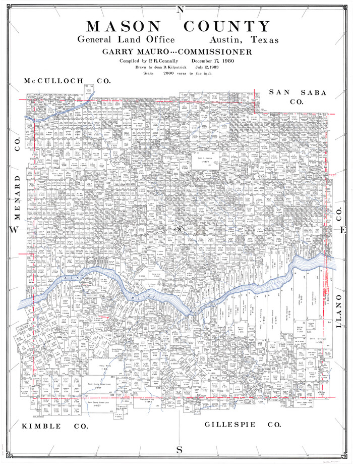
Mason County
1980
-
Size
46.6 x 35.9 inches
-
Map/Doc
73231
-
Creation Date
1980

Mason County Working Sketch 17
1983
-
Size
24.3 x 41.1 inches
-
Map/Doc
70853
-
Creation Date
1983

Mason County Working Sketch 19
1981
-
Size
27.0 x 37.1 inches
-
Map/Doc
70855
-
Creation Date
1981

Mason County Working Sketch Graphic Index
1980
-
Size
46.4 x 35.7 inches
-
Map/Doc
76632
-
Creation Date
1980
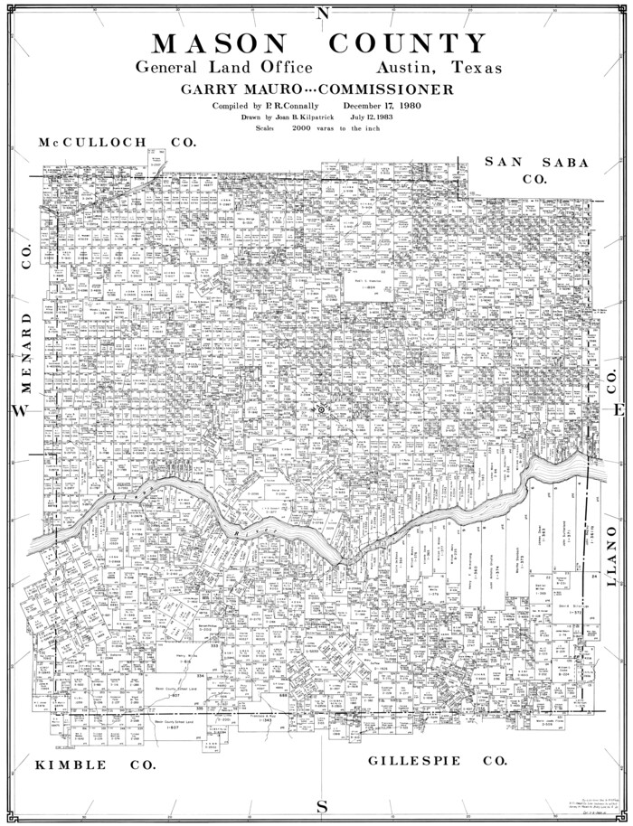
Mason County
1980
-
Size
41.4 x 31.7 inches
-
Map/Doc
77367
-
Creation Date
1980
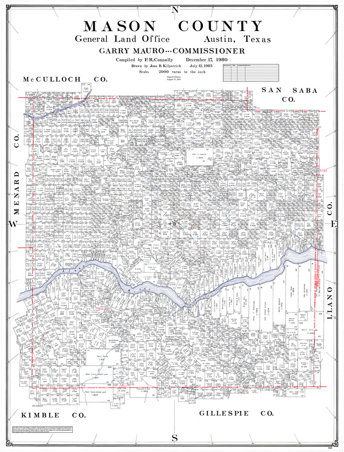
Mason County
1980
-
Size
48.1 x 36.9 inches
-
Map/Doc
95581
-
Creation Date
1980

Mason County Working Sketch 16
1980
-
Size
28.2 x 36.5 inches
-
Map/Doc
70852
-
Creation Date
1980

Mason County Working Sketch 18
1980
-
Size
19.4 x 15.0 inches
-
Map/Doc
70854
-
Creation Date
1980

Mason County Working Sketch 15
1976
-
Size
61.9 x 45.4 inches
-
Map/Doc
70851
-
Creation Date
1976

Mason County Rolled Sketch 3
1965
-
Size
30.3 x 22.8 inches
-
Map/Doc
6676
-
Creation Date
1965

General Highway Map, Mason County, Texas
1961
-
Size
18.3 x 24.8 inches
-
Map/Doc
79584
-
Creation Date
1961

Mason County Sketch File 24
1959
-
Size
15.0 x 15.2 inches
-
Map/Doc
30726
-
Creation Date
1959

Mason County Working Sketch 14
1959
-
Size
28.6 x 23.3 inches
-
Map/Doc
70850
-
Creation Date
1959

Mason County Working Sketch 13
1954
-
Size
20.0 x 29.9 inches
-
Map/Doc
70849
-
Creation Date
1954

Mason County Rolled Sketch 2
1952
-
Size
32.9 x 26.7 inches
-
Map/Doc
6675
-
Creation Date
1952

Mason County Working Sketch 12
1951
-
Size
28.1 x 23.6 inches
-
Map/Doc
70848
-
Creation Date
1951

Mason County Working Sketch 11
1951
-
Size
24.7 x 23.7 inches
-
Map/Doc
70847
-
Creation Date
1951

Mason County Working Sketch 10
1949
-
Size
42.4 x 49.7 inches
-
Map/Doc
70846
-
Creation Date
1949

Mason County Working Sketch 9
1949
-
Size
34.4 x 29.4 inches
-
Map/Doc
70845
-
Creation Date
1949

Mason County Working Sketch 20
1946
-
Size
34.6 x 43.9 inches
-
Map/Doc
70856
-
Creation Date
1946

Mason County Working Sketch 8
1946
-
Size
22.9 x 32.3 inches
-
Map/Doc
70844
-
Creation Date
1946

Kimble County Working Sketch 36
1946
-
Size
53.6 x 43.1 inches
-
Map/Doc
70104
-
Creation Date
1946

Mason County Working Sketch 7
1945
-
Size
35.8 x 43.9 inches
-
Map/Doc
70843
-
Creation Date
1945

Mason County Working Sketch 21
1945
-
Size
37.1 x 43.2 inches
-
Map/Doc
70857
-
Creation Date
1945