Gillespie County Sketch File 4a
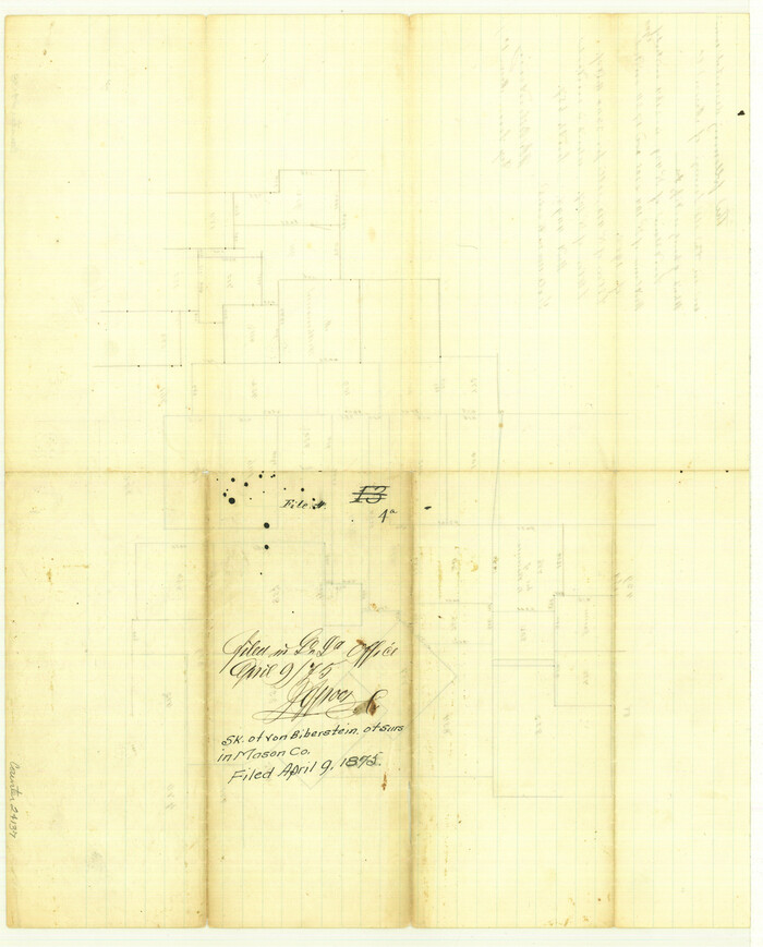

Print $40.00
- Digital $50.00
Gillespie County Sketch File 4a
Size: 15.8 x 12.8 inches
24137
Kimble County Sketch File 10
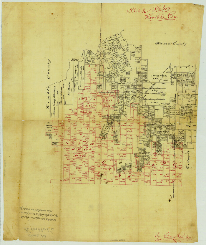

Print $23.00
- Digital $50.00
Kimble County Sketch File 10
Size: 18.5 x 15.6 inches
28931
Kimble County Sketch File B


Print $22.00
- Digital $50.00
Kimble County Sketch File B
Size: 14.3 x 12.7 inches
28963
Mason County Sketch File 7
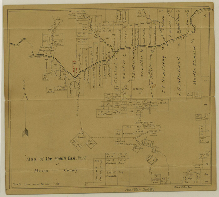

Print $4.00
- Digital $50.00
Mason County Sketch File 7
Size: 7.9 x 8.8 inches
30689
Mason County Sketch File 12
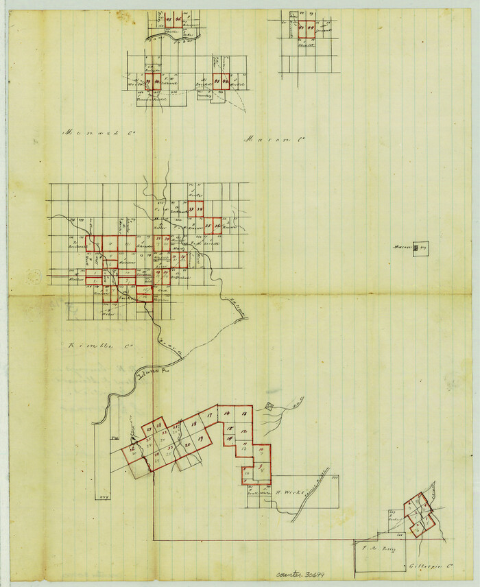

Print $22.00
- Digital $50.00
Mason County Sketch File 12
Size: 15.8 x 12.9 inches
30699
Mason County Sketch File 13


Print $4.00
- Digital $50.00
Mason County Sketch File 13
Size: 7.3 x 6.2 inches
30701
Mason County Sketch File 16
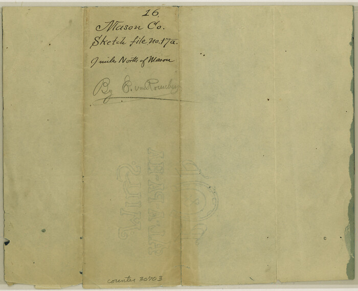

Print $5.00
- Digital $50.00
Mason County Sketch File 16
Size: 9.1 x 11.2 inches
30703
Mason County Sketch File 17


Print $4.00
- Digital $50.00
Mason County Sketch File 17
Size: 8.4 x 12.4 inches
30705
Mason County Sketch File 21
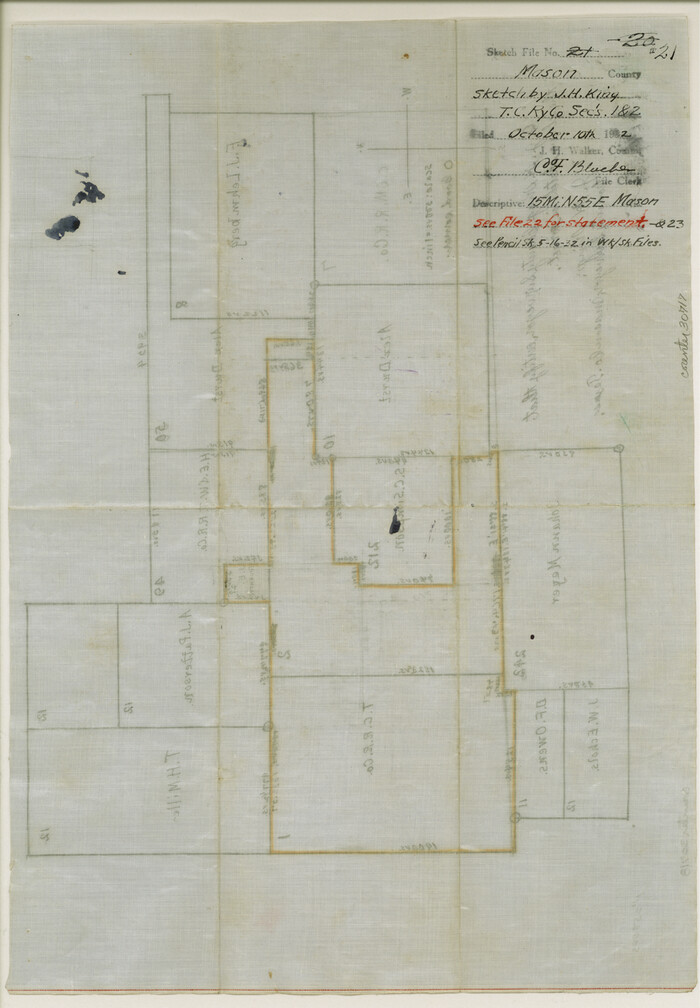

Print $6.00
- Digital $50.00
Mason County Sketch File 21
Size: 15.7 x 10.9 inches
30717
Map of Mason County, Texas


Print $20.00
- Digital $50.00
Map of Mason County, Texas
Size: 26.0 x 19.2 inches
404
Mason County Boundary File 1
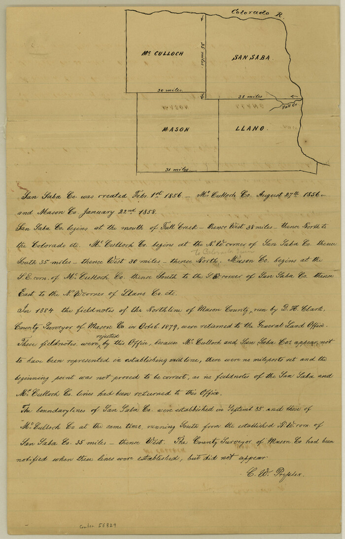

Print $2.00
- Digital $50.00
Mason County Boundary File 1
Size: 12.7 x 8.2 inches
56829
Mason County Boundary File 2

Print $16.00
- Digital $50.00
Mason County Boundary File 2
Size: 9.1 x 8.3 inches
56830
Mason County Boundary File 3
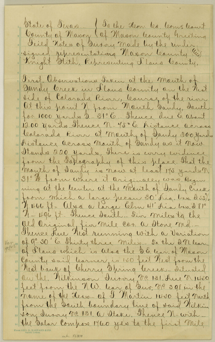

Print $52.00
- Digital $50.00
Mason County Boundary File 3
Size: 13.7 x 8.7 inches
56838
Mason County Boundary File 3a

Print $12.00
- Digital $50.00
Mason County Boundary File 3a
Size: 8.9 x 8.2 inches
56846
Mason County Boundary File 4

Print $38.00
- Digital $50.00
Mason County Boundary File 4
Size: 8.7 x 4.0 inches
56852
Mason County Boundary File 5


Print $20.00
- Digital $50.00
Mason County Boundary File 5
Size: 9.7 x 7.0 inches
56862
Mason County Boundary File 5a


Print $40.00
- Digital $50.00
Mason County Boundary File 5a
Size: 18.0 x 32.6 inches
56872
Mason County Boundary File 6
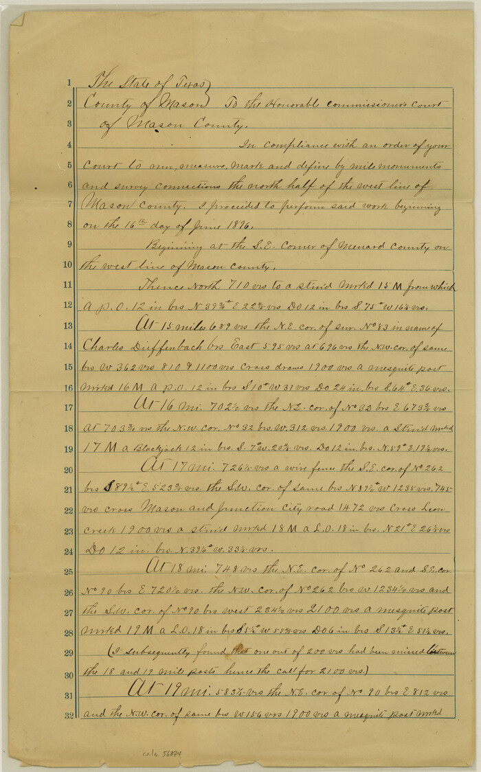

Print $28.00
- Digital $50.00
Mason County Boundary File 6
Size: 14.3 x 8.9 inches
56874
Mason County Boundary File 63


Print $10.00
- Digital $50.00
Mason County Boundary File 63
Size: 9.4 x 5.9 inches
56879
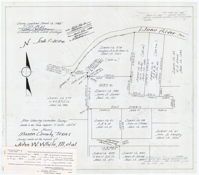
Mason County Rolled Sketch 6

Print $20.00
- Digital $50.00
Mason County Rolled Sketch 6
Size: 19.5 x 22.2 inches
6678
Mason County Working Sketch 1


Print $3.00
- Digital $50.00
Mason County Working Sketch 1
Size: 10.7 x 16.2 inches
70837
Gillespie County Rolled Sketch O


Print $20.00
- Digital $50.00
Gillespie County Rolled Sketch O
1846
Size: 42.6 x 20.0 inches
6007
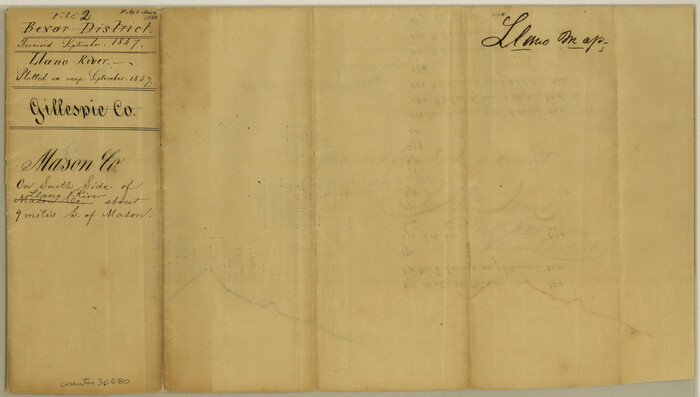
Mason County Sketch File 2

Print $22.00
- Digital $50.00
Mason County Sketch File 2
1847
Size: 8.0 x 14.2 inches
30680
Gillespie County Sketch File 2


Print $40.00
- Digital $50.00
Gillespie County Sketch File 2
1847
Size: 12.8 x 15.5 inches
24127
Llano County Sketch File 9


Print $42.00
- Digital $50.00
Llano County Sketch File 9
Size: 8.6 x 13.1 inches
30369
Map of Fisher and Miller's Colony made from the records in the Office of the District Surveyor of Bexar comprising also all the recent surveys


Print $20.00
- Digital $50.00
Map of Fisher and Miller's Colony made from the records in the Office of the District Surveyor of Bexar comprising also all the recent surveys
1855
Size: 23.7 x 35.2 inches
1971
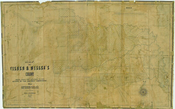
Map of Fisher & Miller's Colony made from the records in the office of the District Surveyor of Bexar comprising also all the recent surveys

Print $20.00
- Digital $50.00
Map of Fisher & Miller's Colony made from the records in the office of the District Surveyor of Bexar comprising also all the recent surveys
1855
Size: 22.6 x 36.2 inches
633
Map of Fisher and Miller's Colony made from the records in the Office of the District Surveyor of Bexar comprising also all the recent surveys


Print $20.00
- Digital $50.00
Map of Fisher and Miller's Colony made from the records in the Office of the District Surveyor of Bexar comprising also all the recent surveys
1855
Size: 27.2 x 39.6 inches
82026
Mason County Sketch File 1


Print $6.00
- Digital $50.00
Mason County Sketch File 1
1857
Size: 11.0 x 8.2 inches
30677
Gillespie County Sketch File 4a


Print $40.00
- Digital $50.00
Gillespie County Sketch File 4a
-
Size
15.8 x 12.8 inches
-
Map/Doc
24137
Kimble County Sketch File 10


Print $23.00
- Digital $50.00
Kimble County Sketch File 10
-
Size
18.5 x 15.6 inches
-
Map/Doc
28931
Kimble County Sketch File B


Print $22.00
- Digital $50.00
Kimble County Sketch File B
-
Size
14.3 x 12.7 inches
-
Map/Doc
28963
Mason County Sketch File 7


Print $4.00
- Digital $50.00
Mason County Sketch File 7
-
Size
7.9 x 8.8 inches
-
Map/Doc
30689
Mason County Sketch File 12


Print $22.00
- Digital $50.00
Mason County Sketch File 12
-
Size
15.8 x 12.9 inches
-
Map/Doc
30699
Mason County Sketch File 13


Print $4.00
- Digital $50.00
Mason County Sketch File 13
-
Size
7.3 x 6.2 inches
-
Map/Doc
30701
Mason County Sketch File 16


Print $5.00
- Digital $50.00
Mason County Sketch File 16
-
Size
9.1 x 11.2 inches
-
Map/Doc
30703
Mason County Sketch File 17


Print $4.00
- Digital $50.00
Mason County Sketch File 17
-
Size
8.4 x 12.4 inches
-
Map/Doc
30705
Mason County Sketch File 21


Print $6.00
- Digital $50.00
Mason County Sketch File 21
-
Size
15.7 x 10.9 inches
-
Map/Doc
30717
Map of Mason County, Texas


Print $20.00
- Digital $50.00
Map of Mason County, Texas
-
Size
26.0 x 19.2 inches
-
Map/Doc
404
Mason County Boundary File 1


Print $2.00
- Digital $50.00
Mason County Boundary File 1
-
Size
12.7 x 8.2 inches
-
Map/Doc
56829
Mason County Boundary File 2


Print $16.00
- Digital $50.00
Mason County Boundary File 2
-
Size
9.1 x 8.3 inches
-
Map/Doc
56830
Mason County Boundary File 3


Print $52.00
- Digital $50.00
Mason County Boundary File 3
-
Size
13.7 x 8.7 inches
-
Map/Doc
56838
Mason County Boundary File 3a


Print $12.00
- Digital $50.00
Mason County Boundary File 3a
-
Size
8.9 x 8.2 inches
-
Map/Doc
56846
Mason County Boundary File 4


Print $38.00
- Digital $50.00
Mason County Boundary File 4
-
Size
8.7 x 4.0 inches
-
Map/Doc
56852
Mason County Boundary File 5


Print $20.00
- Digital $50.00
Mason County Boundary File 5
-
Size
9.7 x 7.0 inches
-
Map/Doc
56862
Mason County Boundary File 5a


Print $40.00
- Digital $50.00
Mason County Boundary File 5a
-
Size
18.0 x 32.6 inches
-
Map/Doc
56872
Mason County Boundary File 6


Print $28.00
- Digital $50.00
Mason County Boundary File 6
-
Size
14.3 x 8.9 inches
-
Map/Doc
56874
Mason County Boundary File 63


Print $10.00
- Digital $50.00
Mason County Boundary File 63
-
Size
9.4 x 5.9 inches
-
Map/Doc
56879
Mason County Rolled Sketch 6


Print $20.00
- Digital $50.00
Mason County Rolled Sketch 6
-
Size
19.5 x 22.2 inches
-
Map/Doc
6678
Mason County Working Sketch 1


Print $3.00
- Digital $50.00
Mason County Working Sketch 1
-
Size
10.7 x 16.2 inches
-
Map/Doc
70837
Gillespie County Rolled Sketch O


Print $20.00
- Digital $50.00
Gillespie County Rolled Sketch O
1846
-
Size
42.6 x 20.0 inches
-
Map/Doc
6007
-
Creation Date
1846
Mason County Sketch File 2


Print $22.00
- Digital $50.00
Mason County Sketch File 2
1847
-
Size
8.0 x 14.2 inches
-
Map/Doc
30680
-
Creation Date
1847
Gillespie County Sketch File 2


Print $40.00
- Digital $50.00
Gillespie County Sketch File 2
1847
-
Size
12.8 x 15.5 inches
-
Map/Doc
24127
-
Creation Date
1847
Llano County Sketch File 9


Print $42.00
- Digital $50.00
Llano County Sketch File 9
-
Size
8.6 x 13.1 inches
-
Map/Doc
30369
Map of Fisher and Miller's Colony made from the records in the Office of the District Surveyor of Bexar comprising also all the recent surveys


Print $20.00
- Digital $50.00
Map of Fisher and Miller's Colony made from the records in the Office of the District Surveyor of Bexar comprising also all the recent surveys
1855
-
Size
23.7 x 35.2 inches
-
Map/Doc
1971
-
Creation Date
1855
Map of Fisher & Miller's Colony made from the records in the office of the District Surveyor of Bexar comprising also all the recent surveys


Print $20.00
- Digital $50.00
Map of Fisher & Miller's Colony made from the records in the office of the District Surveyor of Bexar comprising also all the recent surveys
1855
-
Size
22.6 x 36.2 inches
-
Map/Doc
633
-
Creation Date
1855
Map of Fisher and Miller's Colony made from the records in the Office of the District Surveyor of Bexar comprising also all the recent surveys


Print $20.00
- Digital $50.00
Map of Fisher and Miller's Colony made from the records in the Office of the District Surveyor of Bexar comprising also all the recent surveys
1855
-
Size
27.2 x 39.6 inches
-
Map/Doc
82026
-
Creation Date
1855
Mason County Sketch File 1


Print $6.00
- Digital $50.00
Mason County Sketch File 1
1857
-
Size
11.0 x 8.2 inches
-
Map/Doc
30677
-
Creation Date
1857
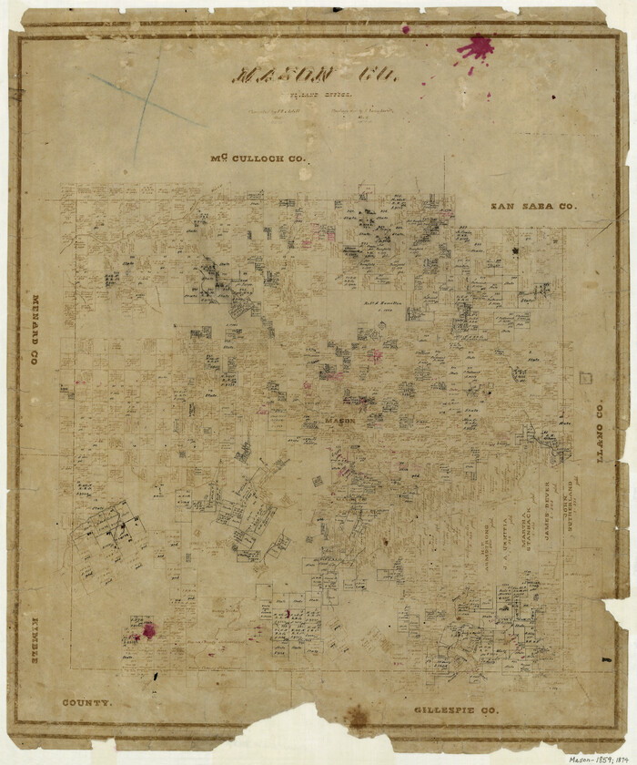
Mason County

Print $20.00
- Digital $50.00
Mason County
1859
-
Size
22.6 x 19.0 inches
-
Map/Doc
3837
-
Creation Date
1859