
General Highway Map, Mason County, Texas
1940

General Highway Map, Mason County, Texas
1961

Gillespie County Rolled Sketch O
1846

Gillespie County Sketch File 14
1880

Gillespie County Sketch File 2
1847
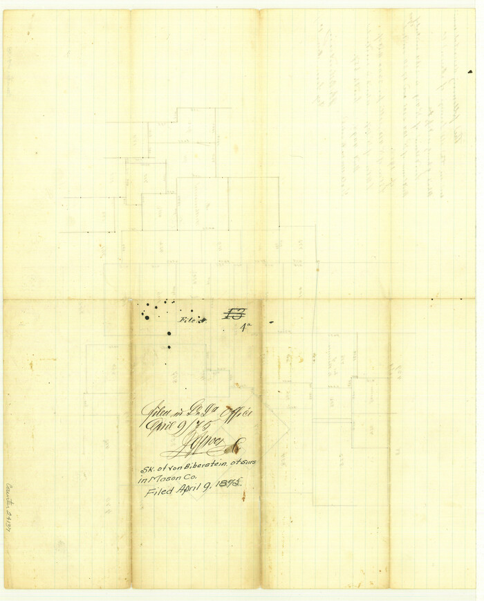
Gillespie County Sketch File 4a
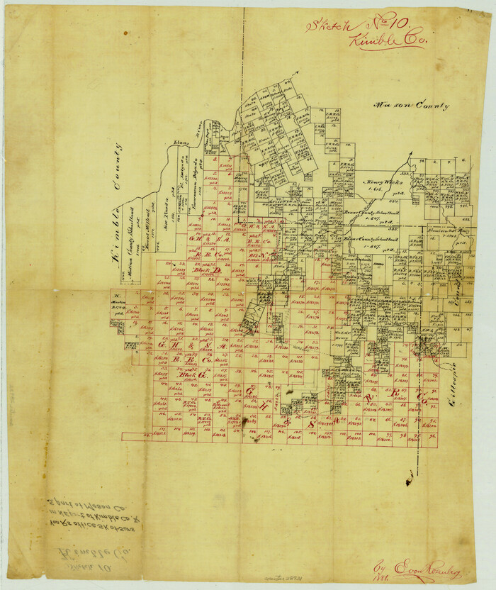
Kimble County Sketch File 10
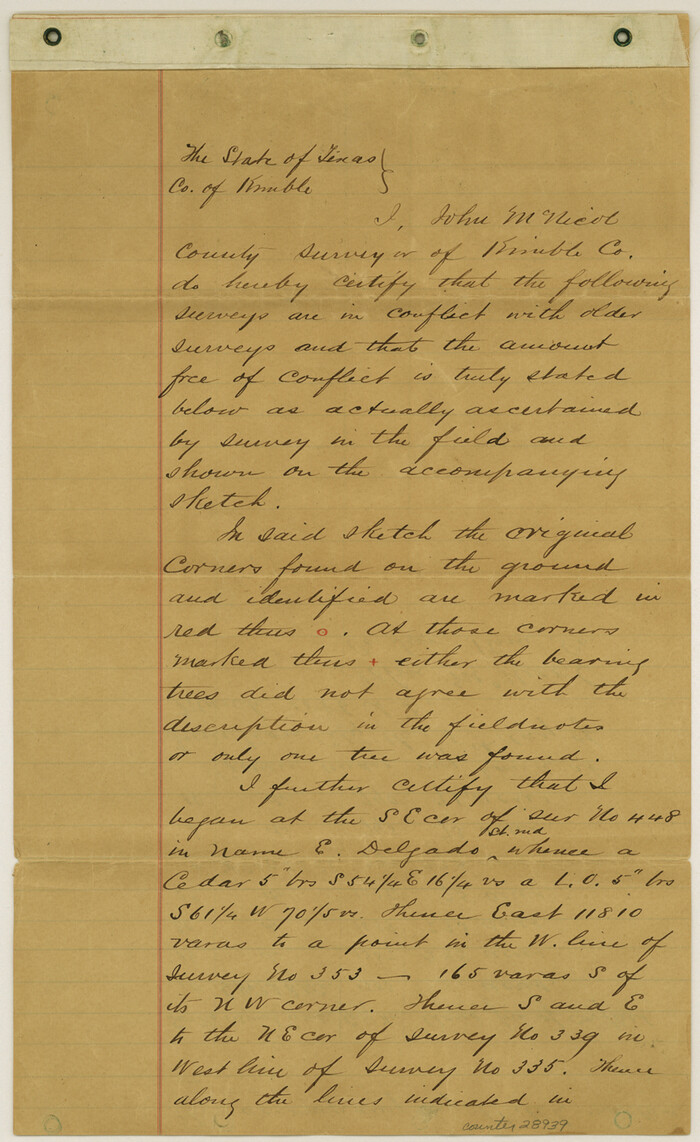
Kimble County Sketch File 14
1886

Kimble County Sketch File B
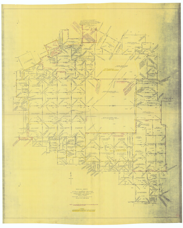
Kimble County Working Sketch 36
1946

Llano County Sketch File 9
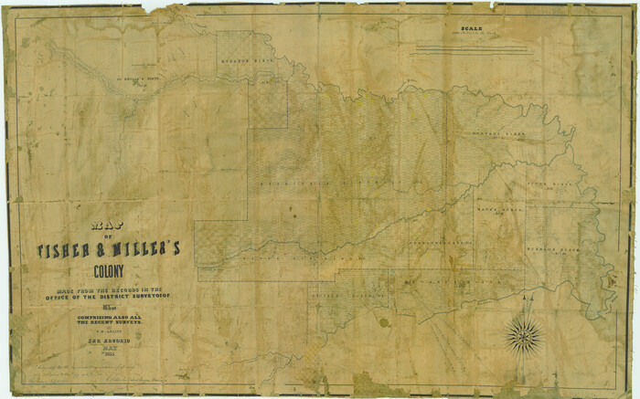
Map of Fisher & Miller's Colony made from the records in the office of the District Surveyor of Bexar comprising also all the recent surveys
1855

Map of Fisher and Miller's Colony made from the records in the Office of the District Surveyor of Bexar comprising also all the recent surveys
1855

Map of Fisher and Miller's Colony made from the records in the Office of the District Surveyor of Bexar comprising also all the recent surveys
1855
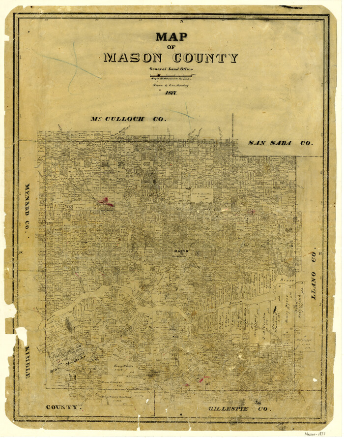
Map of Mason County
1877

Map of Mason County
1859

Map of Mason County
1879
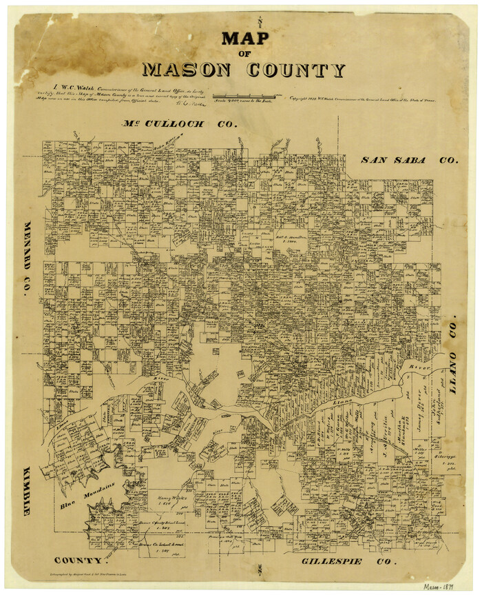
Map of Mason County
1879

Map of Mason County, Texas
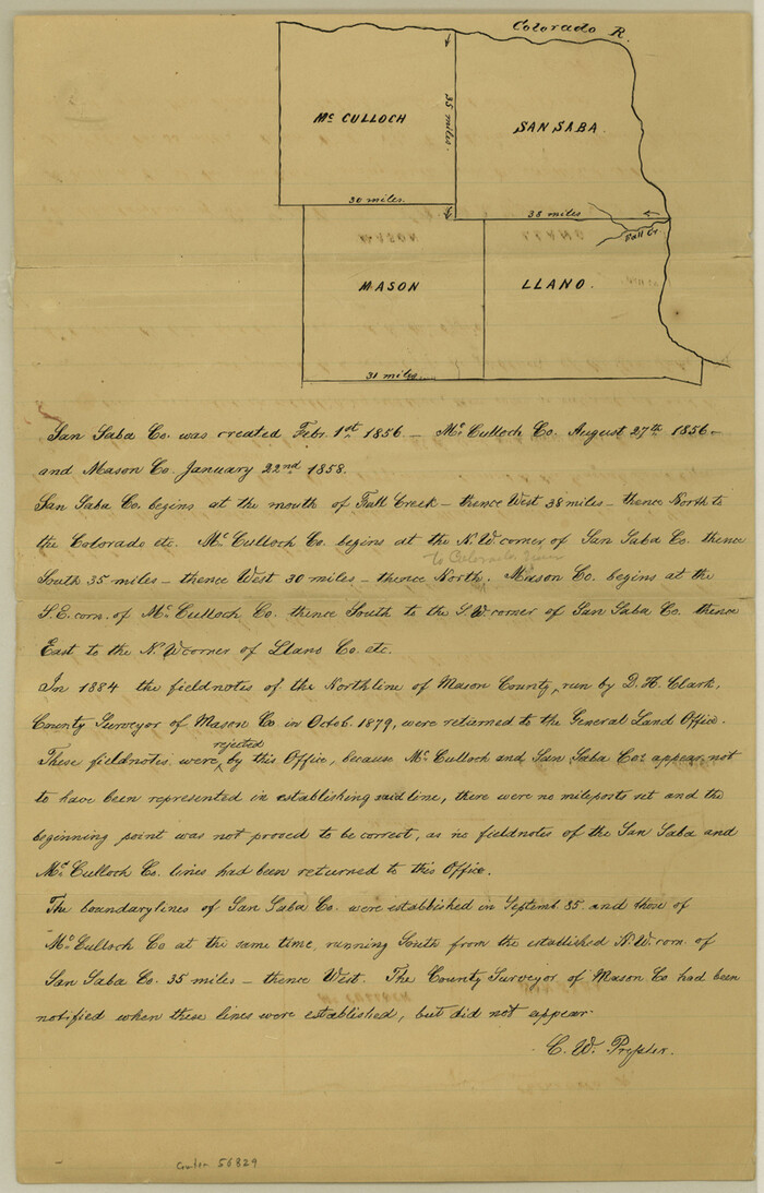
Mason County Boundary File 1
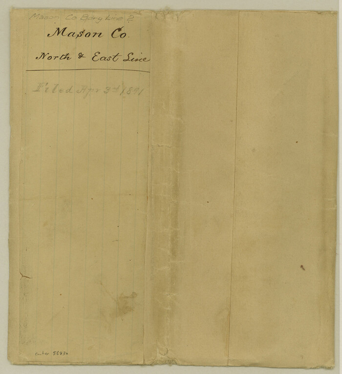
Mason County Boundary File 2

General Highway Map, Mason County, Texas
1940
-
Size
18.2 x 24.5 inches
-
Map/Doc
79186
-
Creation Date
1940

General Highway Map, Mason County, Texas
1961
-
Size
18.3 x 24.8 inches
-
Map/Doc
79584
-
Creation Date
1961

Gillespie County Rolled Sketch O
1846
-
Size
42.6 x 20.0 inches
-
Map/Doc
6007
-
Creation Date
1846

Gillespie County Sketch File 14
1880
-
Size
10.1 x 11.4 inches
-
Map/Doc
24155
-
Creation Date
1880

Gillespie County Sketch File 2
1847
-
Size
12.8 x 15.5 inches
-
Map/Doc
24127
-
Creation Date
1847

Gillespie County Sketch File 4a
-
Size
15.8 x 12.8 inches
-
Map/Doc
24137

Kimble County Sketch File 10
-
Size
18.5 x 15.6 inches
-
Map/Doc
28931

Kimble County Sketch File 14
1886
-
Size
14.1 x 8.6 inches
-
Map/Doc
28939
-
Creation Date
1886

Kimble County Sketch File B
-
Size
14.3 x 12.7 inches
-
Map/Doc
28963

Kimble County Working Sketch 36
1946
-
Size
53.6 x 43.1 inches
-
Map/Doc
70104
-
Creation Date
1946

Llano County Sketch File 9
-
Size
8.6 x 13.1 inches
-
Map/Doc
30369

Map of Fisher & Miller's Colony made from the records in the office of the District Surveyor of Bexar comprising also all the recent surveys
1855
-
Size
22.6 x 36.2 inches
-
Map/Doc
633
-
Creation Date
1855

Map of Fisher and Miller's Colony made from the records in the Office of the District Surveyor of Bexar comprising also all the recent surveys
1855
-
Size
23.7 x 35.2 inches
-
Map/Doc
1971
-
Creation Date
1855

Map of Fisher and Miller's Colony made from the records in the Office of the District Surveyor of Bexar comprising also all the recent surveys
1855
-
Size
27.2 x 39.6 inches
-
Map/Doc
82026
-
Creation Date
1855

Map of Mason County
1877
-
Size
25.3 x 19.9 inches
-
Map/Doc
3836
-
Creation Date
1877

Map of Mason County
1859
-
Size
28.4 x 22.4 inches
-
Map/Doc
3838
-
Creation Date
1859

Map of Mason County
1879
-
Size
22.5 x 18.8 inches
-
Map/Doc
3839
-
Creation Date
1879

Map of Mason County
1879
-
Size
22.9 x 18.8 inches
-
Map/Doc
4593
-
Creation Date
1879

Map of Mason County, Texas
-
Size
26.0 x 19.2 inches
-
Map/Doc
404
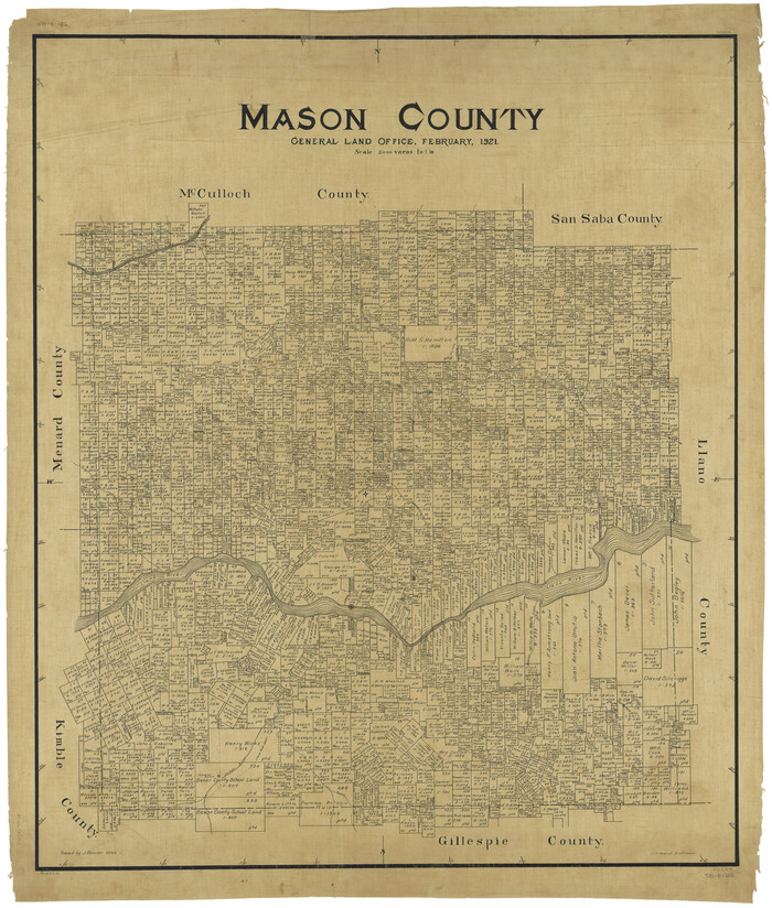
Mason County
1921
-
Size
46.2 x 39.1 inches
-
Map/Doc
1890
-
Creation Date
1921
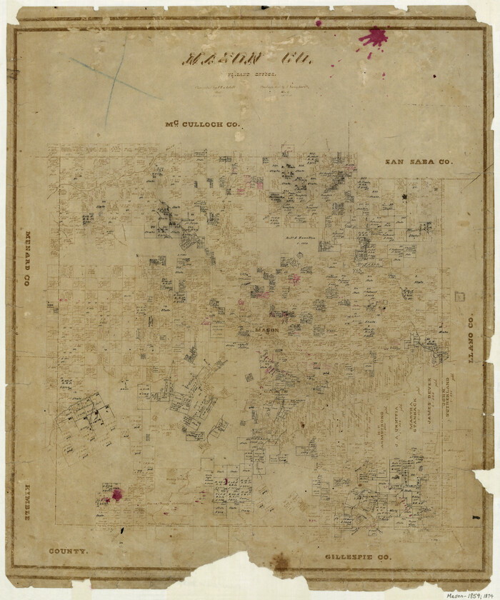
Mason County
1859
-
Size
22.6 x 19.0 inches
-
Map/Doc
3837
-
Creation Date
1859
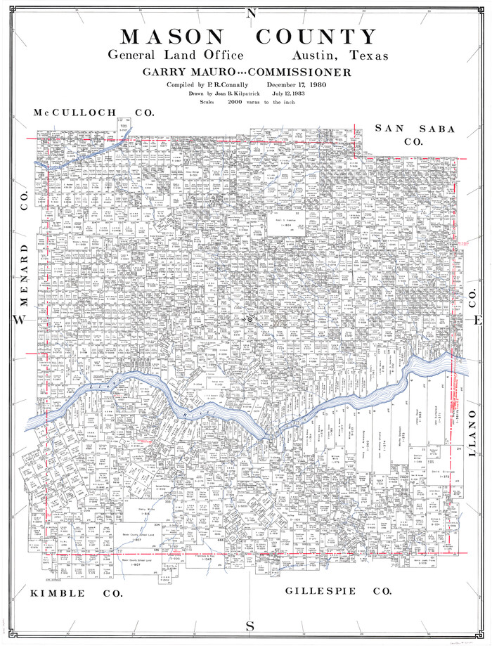
Mason County
1980
-
Size
46.6 x 35.9 inches
-
Map/Doc
73231
-
Creation Date
1980
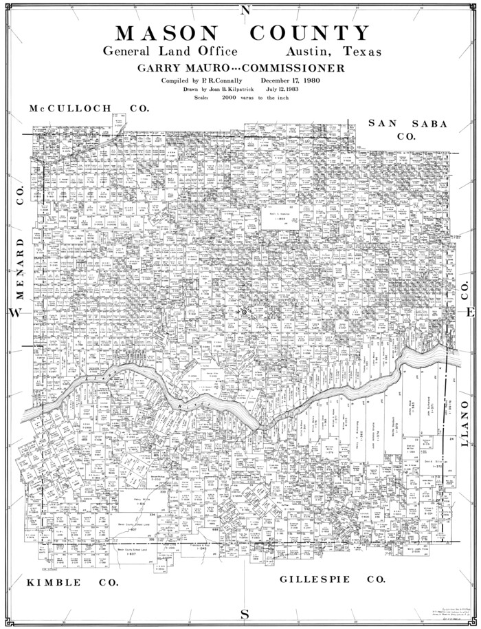
Mason County
1980
-
Size
41.4 x 31.7 inches
-
Map/Doc
77367
-
Creation Date
1980

Mason County
1886
-
Size
40.9 x 38.9 inches
-
Map/Doc
7818
-
Creation Date
1886
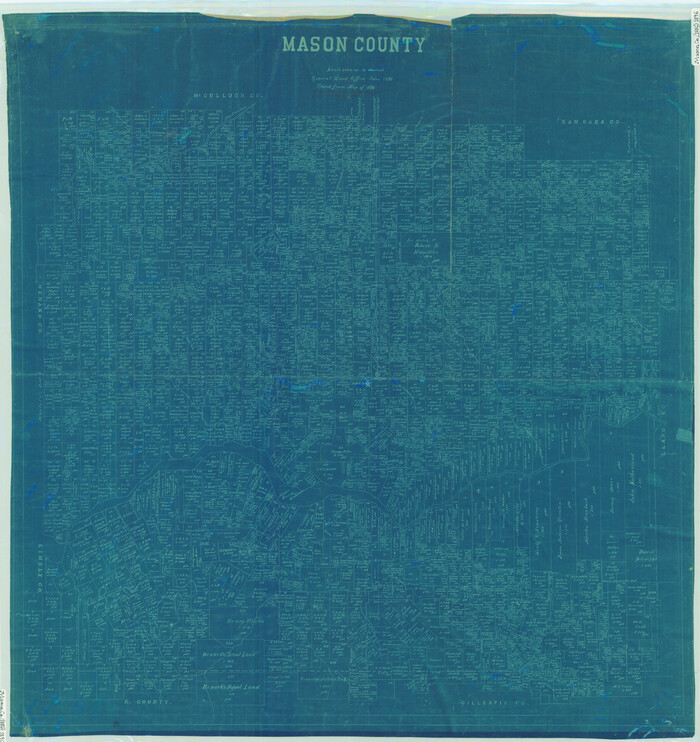
Mason County
1896
-
Size
39.0 x 36.8 inches
-
Map/Doc
78416
-
Creation Date
1896

Mason County
1896
-
Size
39.9 x 37.8 inches
-
Map/Doc
78438
-
Creation Date
1896

Mason County
1921
-
Size
45.0 x 38.6 inches
-
Map/Doc
7953
-
Creation Date
1921
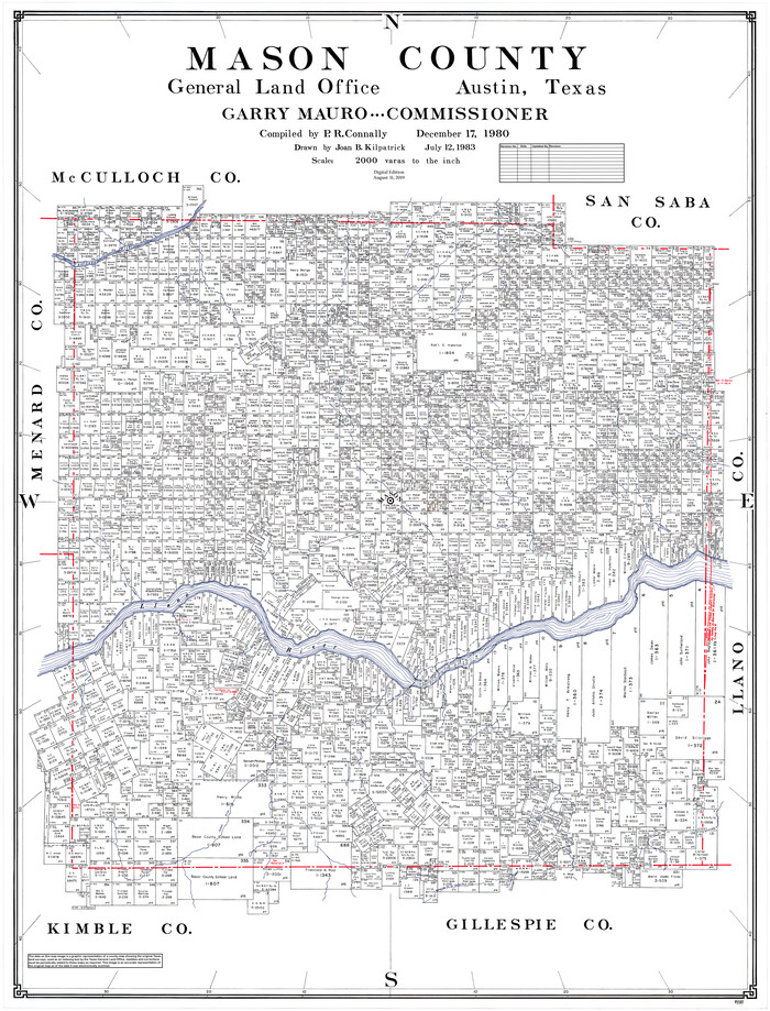
Mason County
1980
-
Size
48.1 x 36.9 inches
-
Map/Doc
95581
-
Creation Date
1980

Mason County Boundary File 1
-
Size
12.7 x 8.2 inches
-
Map/Doc
56829

Mason County Boundary File 2
-
Size
9.1 x 8.3 inches
-
Map/Doc
56830