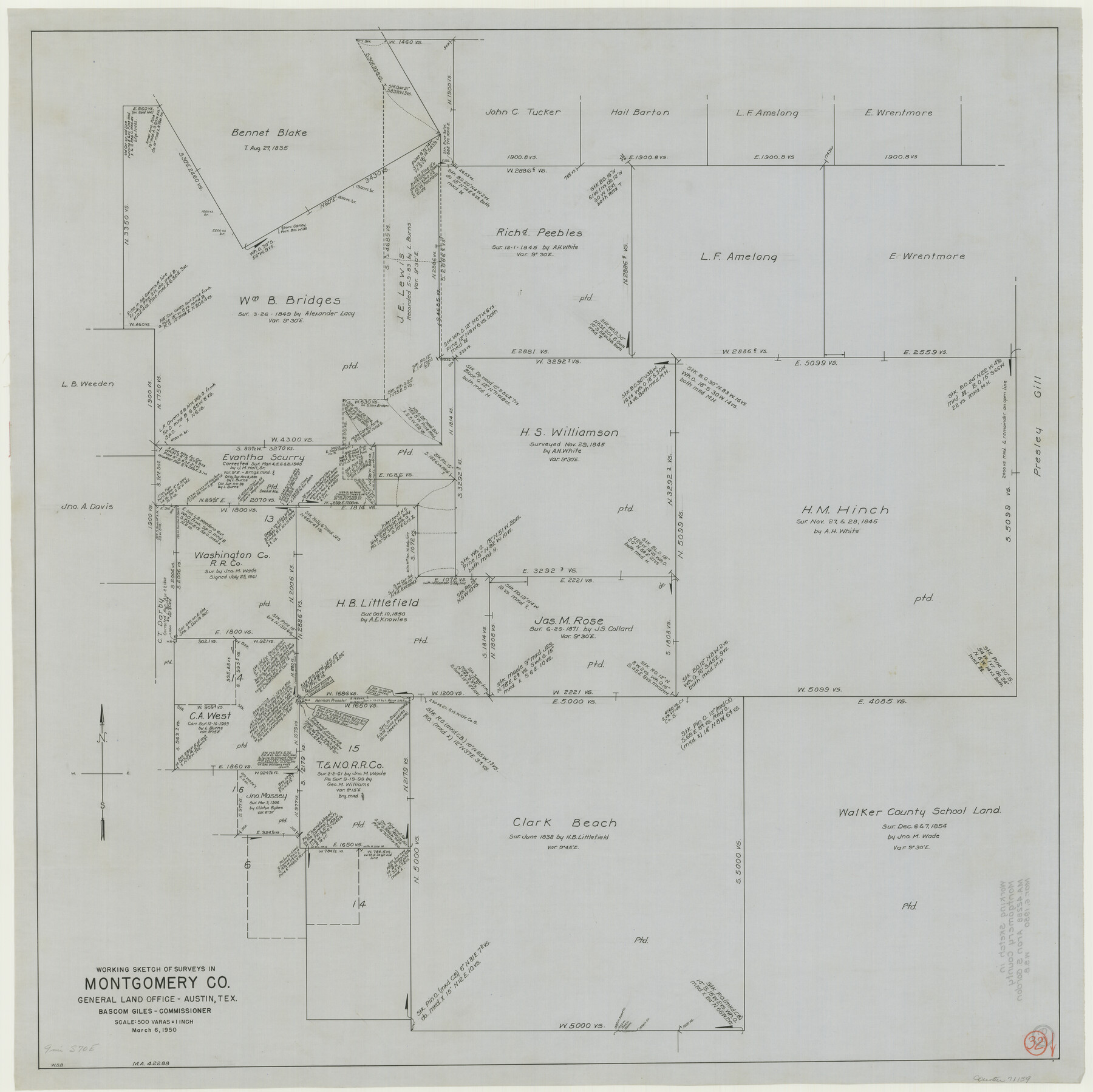
Montgomery County Working Sketch 32
-
Map/Doc
71139
-
Collection
General Map Collection
-
Object Dates
3/6/1950 (Creation Date)
-
People and Organizations
W. S. Brewington (Draftsman)
-
Counties
Montgomery
-
Subjects
Surveying Working Sketch
-
Height x Width
32.8 x 32.8 inches
83.3 x 83.3 cm
-
Scale
1" = 500 varas
Part of: General Map Collection
Aransas County Rolled Sketch 21

Print $20.00
- Digital $50.00
Aransas County Rolled Sketch 21
Size 43.0 x 43.8 inches
Map/Doc 8415
El Paso County Rolled Sketch VD

Print $40.00
- Digital $50.00
El Paso County Rolled Sketch VD
1915
Size 18.4 x 67.4 inches
Map/Doc 8862
Jim Hogg County Sketch File 9

Print $24.00
- Digital $50.00
Jim Hogg County Sketch File 9
1941
Size 14.2 x 8.7 inches
Map/Doc 28411
PSL Field Notes for Block CS in Hartley County

PSL Field Notes for Block CS in Hartley County
Map/Doc 81656
Crockett County Working Sketch 9

Print $20.00
- Digital $50.00
Crockett County Working Sketch 9
1912
Size 24.2 x 32.1 inches
Map/Doc 68342
Wharton County Sketch File 19

Print $6.00
- Digital $50.00
Wharton County Sketch File 19
Size 13.2 x 8.1 inches
Map/Doc 39978
Flight Mission No. DQO-3K, Frame 37, Galveston County

Print $20.00
- Digital $50.00
Flight Mission No. DQO-3K, Frame 37, Galveston County
1952
Size 18.7 x 22.6 inches
Map/Doc 85078
Frio County Sketch File 6

Print $32.00
- Digital $50.00
Frio County Sketch File 6
1883
Size 8.7 x 5.3 inches
Map/Doc 23118
Duval County Rolled Sketch 39

Print $20.00
- Digital $50.00
Duval County Rolled Sketch 39
1956
Size 29.0 x 20.1 inches
Map/Doc 5756
Floyd County Sketch File 20

Print $4.00
- Digital $50.00
Floyd County Sketch File 20
1914
Size 14.5 x 8.9 inches
Map/Doc 22772
Wichita County

Print $20.00
- Digital $50.00
Wichita County
1889
Size 26.8 x 37.4 inches
Map/Doc 4144
Eastland County Working Sketch 23

Print $40.00
- Digital $50.00
Eastland County Working Sketch 23
1920
Size 53.5 x 42.5 inches
Map/Doc 68804
You may also like

Liberty County Sketch File 20

Print $6.00
- Digital $50.00
Liberty County Sketch File 20
Size 7.8 x 9.9 inches
Map/Doc 29925
[Galveston, Harrisburg & San Antonio Railroad from Cuero to Stockdale]
![64185, [Galveston, Harrisburg & San Antonio Railroad from Cuero to Stockdale], General Map Collection](https://historictexasmaps.com/wmedia_w700/maps/64185.tif.jpg)
Print $20.00
- Digital $50.00
[Galveston, Harrisburg & San Antonio Railroad from Cuero to Stockdale]
1906
Size 13.6 x 34.0 inches
Map/Doc 64185
Harris County Sketch File 23

Print $4.00
- Digital $50.00
Harris County Sketch File 23
Size 8.5 x 6.2 inches
Map/Doc 25377
Montgomery County Rolled Sketch 38A

Print $40.00
- Digital $50.00
Montgomery County Rolled Sketch 38A
1962
Size 25.1 x 54.7 inches
Map/Doc 9546
Taylor County Rolled Sketch 27A

Print $20.00
- Digital $50.00
Taylor County Rolled Sketch 27A
Size 30.5 x 21.4 inches
Map/Doc 7919
Val Verde County Sketch File 11

Print $8.00
- Digital $50.00
Val Verde County Sketch File 11
1972
Size 11.3 x 8.9 inches
Map/Doc 39110
Cooke County Working Sketch 33

Print $20.00
- Digital $50.00
Cooke County Working Sketch 33
1984
Size 25.6 x 28.6 inches
Map/Doc 68270
Hardeman County Sketch File 10

Print $4.00
- Digital $50.00
Hardeman County Sketch File 10
1884
Size 13.2 x 8.3 inches
Map/Doc 25006
Upton County Working Sketch 33

Print $20.00
- Digital $50.00
Upton County Working Sketch 33
1955
Size 17.9 x 37.8 inches
Map/Doc 69529
Map of Alabama and Texas Cattle Co's Pasture

Print $20.00
- Digital $50.00
Map of Alabama and Texas Cattle Co's Pasture
Size 17.6 x 18.1 inches
Map/Doc 5064
Lavaca County Rolled Sketch 1

Print $20.00
- Digital $50.00
Lavaca County Rolled Sketch 1
1947
Size 36.4 x 32.4 inches
Map/Doc 6591