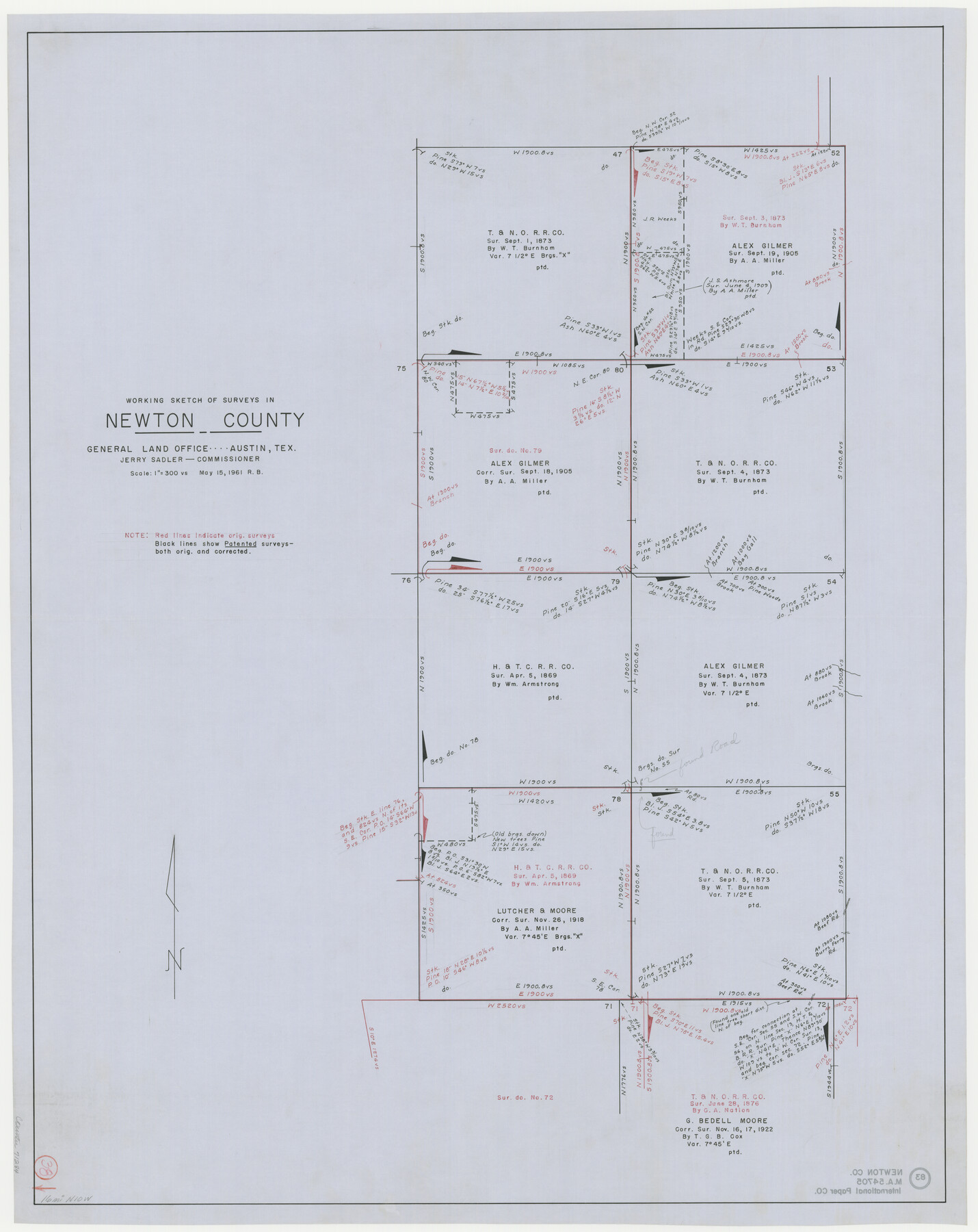
Newton County Working Sketch 38
-
Map/Doc
71284
-
Collection
General Map Collection
-
Object Dates
5/15/1961 (Creation Date)
-
People and Organizations
Roy Buckholts (Draftsman)
-
Counties
Newton
-
Subjects
Surveying Working Sketch
-
Height x Width
36.8 x 29.2 inches
93.5 x 74.2 cm
-
Scale
1" = 300 varas
Part of: General Map Collection
Sutton County

Print $40.00
- Digital $50.00
Sutton County
1898
Size 41.1 x 58.3 inches
Map/Doc 78392
Austin County

Print $20.00
- Digital $50.00
Austin County
1943
Size 40.2 x 43.0 inches
Map/Doc 95422
Swisher County Boundary File 1

Print $72.00
- Digital $50.00
Swisher County Boundary File 1
Size 9.0 x 4.5 inches
Map/Doc 59075
Houston County Working Sketch 23

Print $20.00
- Digital $50.00
Houston County Working Sketch 23
1983
Size 19.4 x 25.3 inches
Map/Doc 66253
Mitchell County Working Sketch 7

Print $20.00
- Digital $50.00
Mitchell County Working Sketch 7
1963
Size 38.6 x 22.6 inches
Map/Doc 71064
Donley County Working Sketch 7

Print $20.00
- Digital $50.00
Donley County Working Sketch 7
1971
Size 23.7 x 26.1 inches
Map/Doc 68740
Brewster County Rolled Sketch 55

Print $40.00
- Digital $50.00
Brewster County Rolled Sketch 55
1935
Size 24.2 x 58.8 inches
Map/Doc 5227
Scurry County Rolled Sketch 2A

Print $20.00
- Digital $50.00
Scurry County Rolled Sketch 2A
Size 25.6 x 24.2 inches
Map/Doc 7764

Jefferson County Rolled Sketch 57

Print $20.00
- Digital $50.00
Jefferson County Rolled Sketch 57
1883
Size 18.6 x 25.9 inches
Map/Doc 6409
Lee County Working Sketch 18

Print $20.00
- Digital $50.00
Lee County Working Sketch 18
1989
Size 18.3 x 17.2 inches
Map/Doc 70397
Hutchinson County Sketch File 43

Print $4.00
- Digital $50.00
Hutchinson County Sketch File 43
1891
Size 11.2 x 8.8 inches
Map/Doc 27309
You may also like
Hood County Sketch File 1

Print $5.00
- Digital $50.00
Hood County Sketch File 1
Size 11.0 x 15.2 inches
Map/Doc 26569
Trinity County Sketch File 5

Print $64.00
- Digital $50.00
Trinity County Sketch File 5
1909
Size 17.9 x 28.8 inches
Map/Doc 12482
Liberty County Working Sketch 48

Print $20.00
- Digital $50.00
Liberty County Working Sketch 48
1954
Size 17.7 x 18.9 inches
Map/Doc 70507
Hutchinson County Rolled Sketch 36

Print $20.00
- Digital $50.00
Hutchinson County Rolled Sketch 36
1888
Size 20.3 x 25.3 inches
Map/Doc 6293
Jefferson County Rolled Sketch 11

Print $40.00
- Digital $50.00
Jefferson County Rolled Sketch 11
Size 35.4 x 49.8 inches
Map/Doc 9277
Baylor County Working Sketch 11

Print $20.00
- Digital $50.00
Baylor County Working Sketch 11
1957
Size 20.0 x 47.8 inches
Map/Doc 67296
Austin County Sketch File 6a

Print $14.00
- Digital $50.00
Austin County Sketch File 6a
1895
Size 11.2 x 8.6 inches
Map/Doc 13865
Hall County Sketch File D

Print $8.00
- Digital $50.00
Hall County Sketch File D
1906
Size 14.4 x 8.7 inches
Map/Doc 24792
Cooke County Sketch File 37

Print $4.00
- Digital $50.00
Cooke County Sketch File 37
Size 13.1 x 8.0 inches
Map/Doc 19306
Brewster County Sketch File FN-32

Print $8.00
- Digital $50.00
Brewster County Sketch File FN-32
Size 11.1 x 8.7 inches
Map/Doc 15854
Reagan County Working Sketch 24

Print $20.00
- Digital $50.00
Reagan County Working Sketch 24
1958
Size 45.4 x 39.9 inches
Map/Doc 71866
Texas Prospectors and Historians Map

Digital $50.00
Texas Prospectors and Historians Map
Size 22.4 x 29.2 inches
Map/Doc 94411