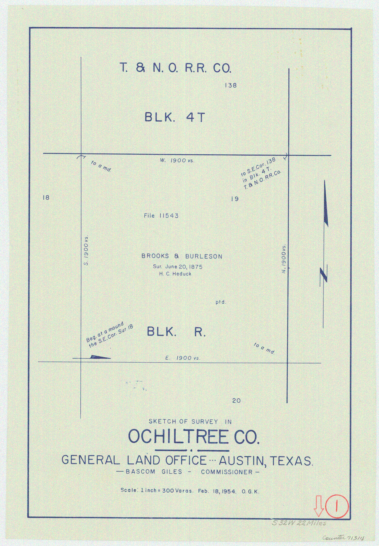
Ochiltree County Working Sketch 1
-
Map/Doc
71314
-
Collection
General Map Collection
-
Object Dates
2/18/1954 (Creation Date)
-
People and Organizations
Otto G. Kurio (Draftsman)
-
Counties
Ochiltree
-
Subjects
Surveying Working Sketch
-
Height x Width
16.7 x 11.6 inches
42.4 x 29.5 cm
-
Scale
1" = 300 varas
Part of: General Map Collection
Travis County Rolled Sketch 44

Print $20.00
- Digital $50.00
Travis County Rolled Sketch 44
Size 34.2 x 35.6 inches
Map/Doc 10052
South Part Crockett County

Print $20.00
- Digital $50.00
South Part Crockett County
1977
Size 30.6 x 40.1 inches
Map/Doc 77254
Archer County Sketch File B

Print $18.00
- Digital $50.00
Archer County Sketch File B
1892
Size 14.2 x 8.8 inches
Map/Doc 13566
Aransas Pass to Baffin Bay

Print $20.00
- Digital $50.00
Aransas Pass to Baffin Bay
1961
Size 42.1 x 35.4 inches
Map/Doc 73414
Harris County Historic Topographic B

Print $20.00
- Digital $50.00
Harris County Historic Topographic B
1916
Size 25.5 x 19.2 inches
Map/Doc 65850
Cass County Working Sketch 15

Print $20.00
- Digital $50.00
Cass County Working Sketch 15
1957
Size 29.7 x 19.0 inches
Map/Doc 67918
Borden - Garza County Line as agreed upon in the 118th Judicial District Court, Howard County, Texas Case No. 13,023

Print $40.00
- Digital $50.00
Borden - Garza County Line as agreed upon in the 118th Judicial District Court, Howard County, Texas Case No. 13,023
1965
Size 19.0 x 102.2 inches
Map/Doc 1697
Travis County Working Sketch 66

Print $20.00
- Digital $50.00
Travis County Working Sketch 66
2017
Size 24.5 x 36.6 inches
Map/Doc 94122
[Surveys along Cypress Creek]
![155, [Surveys along Cypress Creek], General Map Collection](https://historictexasmaps.com/wmedia_w700/maps/155.tif.jpg)
Print $2.00
- Digital $50.00
[Surveys along Cypress Creek]
1844
Size 6.0 x 6.1 inches
Map/Doc 155
Gray County Boundary File 2

Print $8.00
- Digital $50.00
Gray County Boundary File 2
Size 14.2 x 8.6 inches
Map/Doc 53850
Washington County Working Sketch 1

Print $20.00
- Digital $50.00
Washington County Working Sketch 1
1957
Size 25.1 x 25.4 inches
Map/Doc 72362
Concho County Working Sketch 5

Print $20.00
- Digital $50.00
Concho County Working Sketch 5
1948
Size 41.3 x 37.9 inches
Map/Doc 68187
You may also like
Marion County Boundary File 1

Print $14.00
- Digital $50.00
Marion County Boundary File 1
Size 12.9 x 8.2 inches
Map/Doc 56822
Winkler County Rolled Sketch 14

Print $20.00
- Digital $50.00
Winkler County Rolled Sketch 14
Size 25.9 x 38.4 inches
Map/Doc 8275
Birds-eye view of the camp of the army of occupation commanded by Genl. Taylor near Corpus Christi, Texas (from the North)

Print $20.00
- Digital $50.00
Birds-eye view of the camp of the army of occupation commanded by Genl. Taylor near Corpus Christi, Texas (from the North)
1847
Size 15.8 x 20.5 inches
Map/Doc 95951
Reeves County Sketch File 10

Print $20.00
- Digital $50.00
Reeves County Sketch File 10
Size 17.0 x 32.0 inches
Map/Doc 12244
Kleberg County Rolled Sketch 10-7

Print $20.00
- Digital $50.00
Kleberg County Rolled Sketch 10-7
1953
Size 37.3 x 34.5 inches
Map/Doc 9401
Kendall County Sketch File 28

Print $12.00
- Digital $50.00
Kendall County Sketch File 28
1953
Size 14.3 x 8.9 inches
Map/Doc 28733
Matagorda County NRC Article 33.136 Sketch 5

Print $28.00
- Digital $50.00
Matagorda County NRC Article 33.136 Sketch 5
2009
Size 24.2 x 35.0 inches
Map/Doc 95006
Section D Tech Memorial Park, Inc.

Print $20.00
- Digital $50.00
Section D Tech Memorial Park, Inc.
Size 19.0 x 20.5 inches
Map/Doc 92300
Flight Mission No. CGN-3P, Frame 21, San Patricio County

Print $20.00
- Digital $50.00
Flight Mission No. CGN-3P, Frame 21, San Patricio County
1956
Size 18.2 x 22.0 inches
Map/Doc 86979
Matagorda County Working Sketch 7

Print $20.00
- Digital $50.00
Matagorda County Working Sketch 7
1953
Size 41.0 x 31.8 inches
Map/Doc 70865
Gaines County

Print $40.00
- Digital $50.00
Gaines County
1902
Size 38.9 x 49.7 inches
Map/Doc 66832
