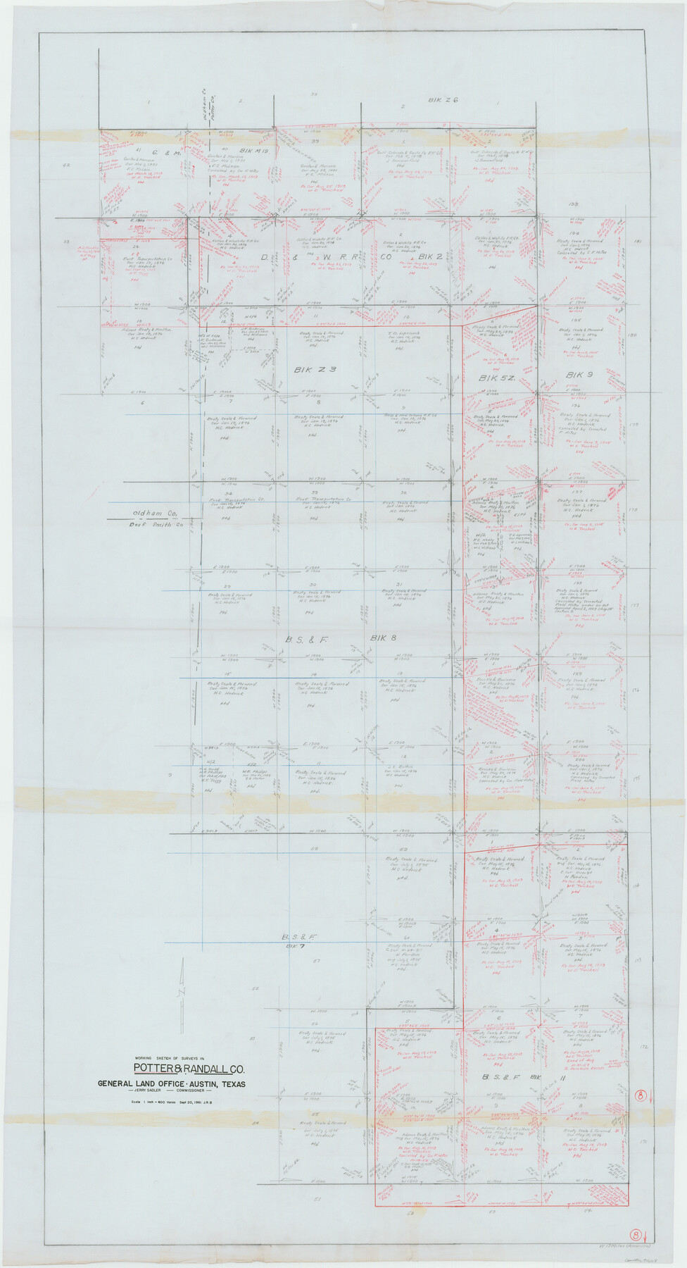
Potter County Working Sketch 8
-
Map/Doc
71668
-
Collection
General Map Collection
-
Object Dates
9/20/1961 (Creation Date)
-
Counties
Potter Randall Oldham
-
Subjects
Surveying Working Sketch
-
Height x Width
68.7 x 37.2 inches
174.5 x 94.5 cm
-
Scale
1" = 400 varas
Part of: General Map Collection
Edwards County Working Sketch 82

Print $20.00
- Digital $50.00
Edwards County Working Sketch 82
1964
Size 31.0 x 35.1 inches
Map/Doc 68958
Cameron County Sketch File 8

Print $73.00
- Digital $50.00
Cameron County Sketch File 8
1982
Size 11.4 x 8.9 inches
Map/Doc 17124
Matagorda County Rolled Sketch 18

Print $20.00
- Digital $50.00
Matagorda County Rolled Sketch 18
1838
Size 35.7 x 30.8 inches
Map/Doc 6685
Map of Colorado County

Print $20.00
- Digital $50.00
Map of Colorado County
1871
Size 18.0 x 18.8 inches
Map/Doc 3425
Map of the Western Territory &c.

Print $20.00
- Digital $50.00
Map of the Western Territory &c.
1834
Size 18.5 x 18.8 inches
Map/Doc 95691
Surveyor's Watercourse Report 1

Print $34.00
Surveyor's Watercourse Report 1
2025
Size 11.0 x 8.5 inches
Map/Doc 97511
T. & N. O. R.R. Jefferson Co. North

Print $20.00
- Digital $50.00
T. & N. O. R.R. Jefferson Co. North
1917
Size 13.4 x 33.5 inches
Map/Doc 64058
Wise County Rolled Sketch 6

Print $20.00
- Digital $50.00
Wise County Rolled Sketch 6
2000
Size 32.0 x 43.1 inches
Map/Doc 8280
Railroad Track Map, T&PRRCo., Culberson County, Texas

Print $4.00
- Digital $50.00
Railroad Track Map, T&PRRCo., Culberson County, Texas
1910
Size 11.8 x 18.6 inches
Map/Doc 62828
Flight Mission No. DQO-8K, Frame 72, Galveston County

Print $20.00
- Digital $50.00
Flight Mission No. DQO-8K, Frame 72, Galveston County
1952
Size 18.7 x 22.4 inches
Map/Doc 85176
Taylor County Rolled Sketch 27A

Print $20.00
- Digital $50.00
Taylor County Rolled Sketch 27A
Size 30.5 x 21.4 inches
Map/Doc 7919
Panola County Working Sketch 14

Print $40.00
- Digital $50.00
Panola County Working Sketch 14
1945
Map/Doc 71423
You may also like
The Republic County of Austin. Proposed, Late Fall 1837

Print $20.00
The Republic County of Austin. Proposed, Late Fall 1837
2020
Size 14.8 x 21.7 inches
Map/Doc 96080
General Highway Map, Nueces County, Texas

Print $20.00
General Highway Map, Nueces County, Texas
1961
Size 24.6 x 18.2 inches
Map/Doc 79616
Sketch of Surveys in Crosby & Garza Cos.

Print $20.00
- Digital $50.00
Sketch of Surveys in Crosby & Garza Cos.
Size 18.0 x 23.8 inches
Map/Doc 90347
Jeff Davis County Sketch File 28

Print $30.00
- Digital $50.00
Jeff Davis County Sketch File 28
1916
Size 7.2 x 8.7 inches
Map/Doc 28003
Flight Mission No. DAH-17M, Frame 31, Orange County

Print $20.00
- Digital $50.00
Flight Mission No. DAH-17M, Frame 31, Orange County
1953
Size 18.7 x 22.5 inches
Map/Doc 86894
Bandera County Working Sketch 41

Print $20.00
- Digital $50.00
Bandera County Working Sketch 41
1977
Size 31.3 x 37.7 inches
Map/Doc 67637
Galveston County Sketch File 61

Print $24.00
- Digital $50.00
Galveston County Sketch File 61
1988
Size 11.3 x 8.7 inches
Map/Doc 23653
Potter County Sketch File 11

Print $4.00
- Digital $50.00
Potter County Sketch File 11
1890
Size 14.0 x 8.8 inches
Map/Doc 34397
Flight Mission No. BQR-13K, Frame 24, Brazoria County

Print $20.00
- Digital $50.00
Flight Mission No. BQR-13K, Frame 24, Brazoria County
1952
Size 18.9 x 22.4 inches
Map/Doc 84072
Haskell County Working Sketch 13

Print $20.00
- Digital $50.00
Haskell County Working Sketch 13
1983
Size 33.0 x 41.8 inches
Map/Doc 66071
[Gulf, Colorado & Santa Fe]
![64592, [Gulf, Colorado & Santa Fe], General Map Collection](https://historictexasmaps.com/wmedia_w700/maps/64592.tif.jpg)
Print $40.00
- Digital $50.00
[Gulf, Colorado & Santa Fe]
1918
Size 33.2 x 110.5 inches
Map/Doc 64592
Crane County Sketch File 27

Print $6.00
- Digital $50.00
Crane County Sketch File 27
Size 11.5 x 9.3 inches
Map/Doc 19603