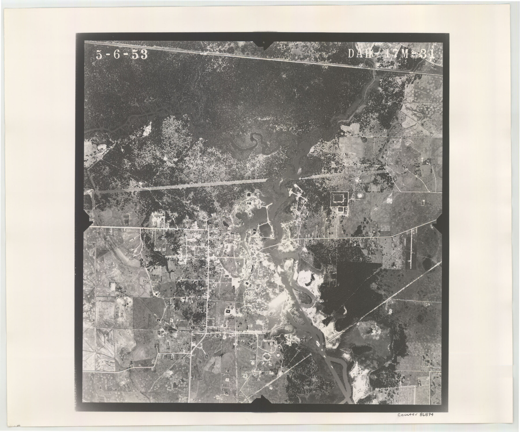
Flight Mission No. DAH-17M, Frame 31, Orange County
DAH-17M-31
-
Map/Doc
86894
-
Collection
General Map Collection
-
Object Dates
1953/5/6 (Creation Date)
-
People and Organizations
U. S. Department of Agriculture (Publisher)
-
Counties
Orange
-
Subjects
Aerial Photograph
-
Height x Width
18.7 x 22.5 inches
47.5 x 57.2 cm
-
Comments
Flown by Jack Ammann Photogrammetric Engineers of San Antonio, Texas.
Part of: General Map Collection
Flight Mission No. CUG-1P, Frame 46, Kleberg County

Print $20.00
- Digital $50.00
Flight Mission No. CUG-1P, Frame 46, Kleberg County
1956
Size 18.6 x 22.2 inches
Map/Doc 86124
Harris County Aerial Photograph Index Sheet 9

Print $20.00
- Digital $50.00
Harris County Aerial Photograph Index Sheet 9
1953
Size 22.1 x 16.6 inches
Map/Doc 83703
Map No. 1 - Rio Bravo del Norte section of boundary between the United States & Mexico agreed upon by the Joint Commission under the Treaty of Guadalupe Hidalgo

Print $20.00
- Digital $50.00
Map No. 1 - Rio Bravo del Norte section of boundary between the United States & Mexico agreed upon by the Joint Commission under the Treaty of Guadalupe Hidalgo
1852
Size 18.3 x 27.0 inches
Map/Doc 72863
Flight Mission No. DQO-12K, Frame 37, Galveston County

Print $20.00
- Digital $50.00
Flight Mission No. DQO-12K, Frame 37, Galveston County
1952
Size 18.7 x 22.4 inches
Map/Doc 85228

Travis County Working Sketch 27

Print $20.00
- Digital $50.00
Travis County Working Sketch 27
1951
Size 17.6 x 31.6 inches
Map/Doc 69411
Industrial - Commercial - Progressive Dallas

Industrial - Commercial - Progressive Dallas
1940
Size 19.1 x 23.7 inches
Map/Doc 96509
Starr County Rolled Sketch X

Print $121.00
- Digital $50.00
Starr County Rolled Sketch X
Size 13.3 x 8.1 inches
Map/Doc 75961
Map of Tom Green Co.

Print $40.00
- Digital $50.00
Map of Tom Green Co.
1880
Size 42.3 x 51.2 inches
Map/Doc 80136
Foard County Rolled Sketch 15A

Print $20.00
- Digital $50.00
Foard County Rolled Sketch 15A
1889
Size 37.5 x 36.1 inches
Map/Doc 8339
Webb County Working Sketch 72

Print $20.00
- Digital $50.00
Webb County Working Sketch 72
1974
Size 22.1 x 38.2 inches
Map/Doc 72439
Swisher County

Print $20.00
- Digital $50.00
Swisher County
1900
Size 45.5 x 39.0 inches
Map/Doc 63053
You may also like
Outer Continental Shelf Leasing Maps (Texas Offshore Operations)

Print $20.00
- Digital $50.00
Outer Continental Shelf Leasing Maps (Texas Offshore Operations)
Size 12.7 x 15.2 inches
Map/Doc 76169
United States - Gulf Coast Texas - Southern part of Laguna Madre

Print $20.00
- Digital $50.00
United States - Gulf Coast Texas - Southern part of Laguna Madre
1933
Size 26.9 x 18.3 inches
Map/Doc 72952
Map of the Globe showing its continents, islands, mountain ranges, table lands, plains and slopes

Print $20.00
- Digital $50.00
Map of the Globe showing its continents, islands, mountain ranges, table lands, plains and slopes
1885
Size 12.2 x 18.5 inches
Map/Doc 93532
[Surveys by Brown in Austin's Little Colony along the Colorado River and Walnut Creek]
![196, [Surveys by Brown in Austin's Little Colony along the Colorado River and Walnut Creek], General Map Collection](https://historictexasmaps.com/wmedia_w700/maps/196.tif.jpg)
Print $20.00
- Digital $50.00
[Surveys by Brown in Austin's Little Colony along the Colorado River and Walnut Creek]
1832
Size 33.2 x 23.3 inches
Map/Doc 196
Anderson County Rolled Sketch 13

Print $20.00
- Digital $50.00
Anderson County Rolled Sketch 13
1964
Size 19.8 x 32.2 inches
Map/Doc 77158
Magnetic Declination in the United States - Epoch 1980

Print $20.00
- Digital $50.00
Magnetic Declination in the United States - Epoch 1980
1980
Size 41.4 x 33.3 inches
Map/Doc 92368
Rio Grande Rectification Project, El Paso and Juarez Valley

Print $3.00
- Digital $50.00
Rio Grande Rectification Project, El Paso and Juarez Valley
1935
Size 9.7 x 14.9 inches
Map/Doc 1749

Castro County Sketch File A

Print $20.00
- Digital $50.00
Castro County Sketch File A
1903
Size 25.8 x 19.4 inches
Map/Doc 11064
Jack County Sketch File 9b

Print $4.00
- Digital $50.00
Jack County Sketch File 9b
1856
Size 8.2 x 13.5 inches
Map/Doc 27525
Galveston County NRC Article 33.136 Sketch 98

Print $32.00
Galveston County NRC Article 33.136 Sketch 98
2024
Map/Doc 97409
United States - Gulf Coast - From Latitude 26° 33' to the Rio Grande Texas

Print $20.00
- Digital $50.00
United States - Gulf Coast - From Latitude 26° 33' to the Rio Grande Texas
1919
Size 27.5 x 18.2 inches
Map/Doc 72853