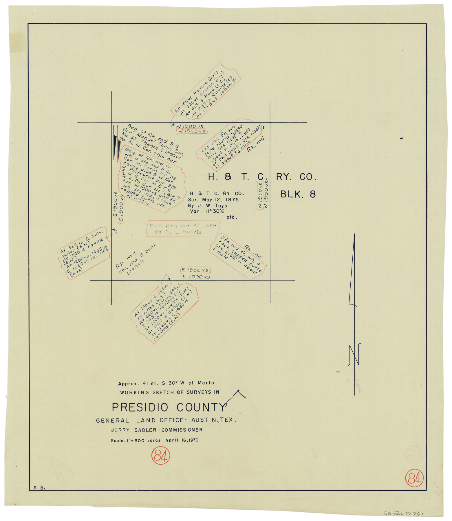
Presidio County Working Sketch 84
-
Map/Doc
71761
-
Collection
General Map Collection
-
Object Dates
4/16/1970 (Creation Date)
-
People and Organizations
Roy Buckholts (Draftsman)
-
Counties
Presidio
-
Subjects
Surveying Working Sketch
-
Height x Width
20.7 x 17.8 inches
52.6 x 45.2 cm
-
Scale
1" = 300 varas
Part of: General Map Collection
United States - Gulf Coast Texas - Southern part of Laguna Madre

Print $20.00
- Digital $50.00
United States - Gulf Coast Texas - Southern part of Laguna Madre
1941
Size 26.7 x 18.3 inches
Map/Doc 72944
Howard County Boundary File 4b

Print $24.00
- Digital $50.00
Howard County Boundary File 4b
Size 11.3 x 8.9 inches
Map/Doc 55168

Jackson County Boundary File 4

Print $4.00
- Digital $50.00
Jackson County Boundary File 4
Size 10.2 x 7.9 inches
Map/Doc 55460
Flight Mission No. DIX-6P, Frame 187, Aransas County

Print $20.00
- Digital $50.00
Flight Mission No. DIX-6P, Frame 187, Aransas County
1956
Size 19.1 x 22.7 inches
Map/Doc 83849
Floyd County Boundary File 4

Print $4.00
- Digital $50.00
Floyd County Boundary File 4
Size 11.2 x 8.9 inches
Map/Doc 53494
Flight Mission No. DCL-6C, Frame 70, Kenedy County

Print $20.00
- Digital $50.00
Flight Mission No. DCL-6C, Frame 70, Kenedy County
1943
Size 18.6 x 22.3 inches
Map/Doc 85912
Hutchinson County Sketch File 16

Print $10.00
- Digital $50.00
Hutchinson County Sketch File 16
1906
Size 11.1 x 8.6 inches
Map/Doc 27213
Dimmit County Sketch File 61

Print $12.00
- Digital $50.00
Dimmit County Sketch File 61
1999
Size 11.4 x 8.8 inches
Map/Doc 21208
Coleman County Working Sketch 24

Print $40.00
- Digital $50.00
Coleman County Working Sketch 24
1989
Size 43.1 x 54.3 inches
Map/Doc 68277

Presidio County Sketch File 118

Print $16.00
- Digital $50.00
Presidio County Sketch File 118
Size 14.3 x 8.9 inches
Map/Doc 34919
You may also like
Callahan County Working Sketch 5

Print $20.00
- Digital $50.00
Callahan County Working Sketch 5
1954
Size 24.3 x 33.8 inches
Map/Doc 67887
Roberts County Working Sketch 42

Print $20.00
- Digital $50.00
Roberts County Working Sketch 42
1978
Size 26.7 x 22.7 inches
Map/Doc 63568
Pecos County Sketch File 105

Print $4.00
- Digital $50.00
Pecos County Sketch File 105
1965
Size 14.3 x 8.8 inches
Map/Doc 34028
Map of a part of Laguna Madre showing subdivision for mineral development

Print $40.00
- Digital $50.00
Map of a part of Laguna Madre showing subdivision for mineral development
1963
Size 68.1 x 46.0 inches
Map/Doc 2916
Stonewall County Sketch File 12 and 12a

Print $30.00
- Digital $50.00
Stonewall County Sketch File 12 and 12a
1900
Size 9.2 x 9.0 inches
Map/Doc 37240
King County Sketch File 12

Print $10.00
- Digital $50.00
King County Sketch File 12
1903
Size 11.3 x 8.6 inches
Map/Doc 29105
Hardin County Rolled Sketch 15

Print $20.00
- Digital $50.00
Hardin County Rolled Sketch 15
Size 25.5 x 26.6 inches
Map/Doc 6085
Cass County Sketch File 18

Print $4.00
- Digital $50.00
Cass County Sketch File 18
Size 7.4 x 10.3 inches
Map/Doc 17420
Reagan County Working Sketch 25

Print $20.00
- Digital $50.00
Reagan County Working Sketch 25
1958
Size 45.8 x 42.8 inches
Map/Doc 71867
Travis County Boundary File 4

Print $52.00
- Digital $50.00
Travis County Boundary File 4
Size 9.5 x 8.2 inches
Map/Doc 59420

Culberson County Sketch File 5a

Print $44.00
- Digital $50.00
Culberson County Sketch File 5a
Size 14.2 x 8.8 inches
Map/Doc 20169