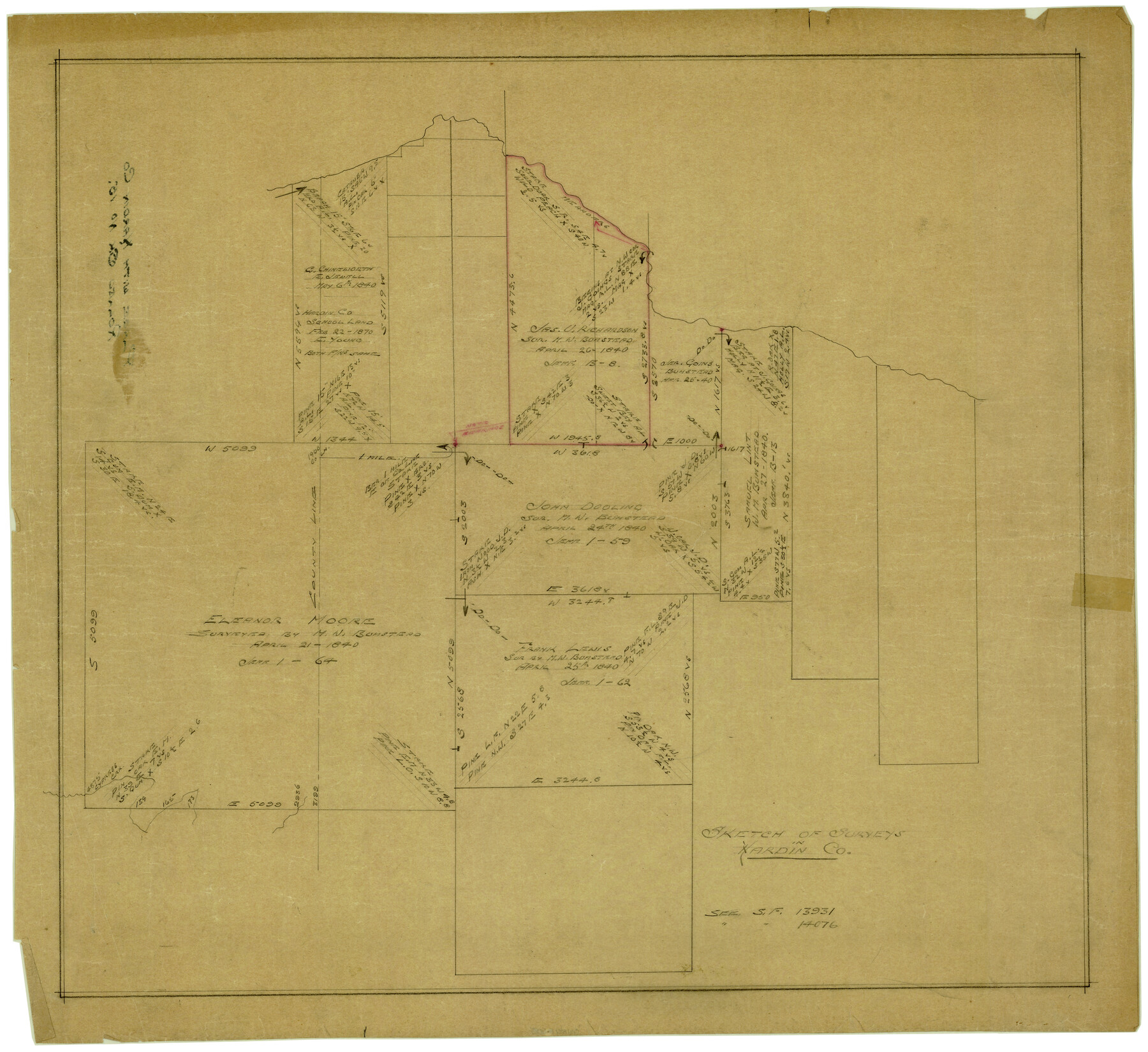
Hardin County Rolled Sketch 15
Sketch of surveys in Hardin Co.
-
Map/Doc
6085
-
Collection
General Map Collection
-
Counties
Hardin
-
Subjects
Surveying Rolled Sketch
-
Height x Width
25.5 x 26.6 inches
64.8 x 67.6 cm
-
Medium
paper, manuscript
-
Comments
See SF-13931 and SF-14076.
Part of: General Map Collection
Tyler County Working Sketch 6

Print $20.00
- Digital $50.00
Tyler County Working Sketch 6
1934
Size 24.3 x 36.5 inches
Map/Doc 69476
Shelby County Sketch File 5

Print $22.00
- Digital $50.00
Shelby County Sketch File 5
Size 8.4 x 12.1 inches
Map/Doc 36599
[Surveys in Polk and Tyler Counties, Liberty District]
![354, [Surveys in Polk and Tyler Counties, Liberty District], General Map Collection](https://historictexasmaps.com/wmedia_w700/maps/354.tif.jpg)
Print $2.00
- Digital $50.00
[Surveys in Polk and Tyler Counties, Liberty District]
1847
Size 10.8 x 8.1 inches
Map/Doc 354
Rusk County Rolled Sketch 9

Print $20.00
- Digital $50.00
Rusk County Rolled Sketch 9
Size 25.0 x 33.0 inches
Map/Doc 7546
Cooke County Sketch File 20

Print $22.00
- Digital $50.00
Cooke County Sketch File 20
1862
Size 9.1 x 6.9 inches
Map/Doc 19264
Flight Mission No. DIX-10P, Frame 61, Aransas County

Print $20.00
- Digital $50.00
Flight Mission No. DIX-10P, Frame 61, Aransas County
1956
Size 18.7 x 22.5 inches
Map/Doc 83922
Winkler County Working Sketch 15

Print $20.00
- Digital $50.00
Winkler County Working Sketch 15
1964
Size 29.2 x 30.5 inches
Map/Doc 72609
Travis County Appraisal District Plat Map 2_0905

Print $20.00
- Digital $50.00
Travis County Appraisal District Plat Map 2_0905
Size 21.4 x 26.4 inches
Map/Doc 94232
Panola County Working Sketch 32

Print $20.00
- Digital $50.00
Panola County Working Sketch 32
1982
Map/Doc 71441
Hudspeth County Rolled Sketch 23

Print $40.00
- Digital $50.00
Hudspeth County Rolled Sketch 23
Size 43.7 x 70.3 inches
Map/Doc 9207
Clay County Sketch File 27

Print $20.00
- Digital $50.00
Clay County Sketch File 27
1900
Size 18.8 x 16.5 inches
Map/Doc 11089
Current Miscellaneous File 105

Print $18.00
- Digital $50.00
Current Miscellaneous File 105
Size 8.8 x 14.2 inches
Map/Doc 74680
You may also like
Map of the City of Washington showing location of fatal cases of Diphtheria and Scarlet Fever; also number of cases thereof reported to the Health Department during the year ending June 30, 1896

Print $20.00
- Digital $50.00
Map of the City of Washington showing location of fatal cases of Diphtheria and Scarlet Fever; also number of cases thereof reported to the Health Department during the year ending June 30, 1896
1896
Size 30.0 x 29.4 inches
Map/Doc 97103
Harris County Rolled Sketch 66

Print $40.00
- Digital $50.00
Harris County Rolled Sketch 66
1940
Size 36.7 x 51.4 inches
Map/Doc 9129
Johnson County Rolled Sketch 1

Print $20.00
- Digital $50.00
Johnson County Rolled Sketch 1
1941
Size 19.4 x 33.4 inches
Map/Doc 6446
Dimmit County Sketch File 57

Print $6.00
- Digital $50.00
Dimmit County Sketch File 57
1941
Size 14.3 x 8.8 inches
Map/Doc 21190
[Map showing Jno. H. Gibson Block D]
![92005, [Map showing Jno. H. Gibson Block D], Twichell Survey Records](https://historictexasmaps.com/wmedia_w700/maps/92005-1.tif.jpg)
Print $20.00
- Digital $50.00
[Map showing Jno. H. Gibson Block D]
Size 18.3 x 15.9 inches
Map/Doc 92005
PSL Field Notes for Block C24 in Loving and Winkler Counties, and Blocks C25, C26, and C27 in Loving County

PSL Field Notes for Block C24 in Loving and Winkler Counties, and Blocks C25, C26, and C27 in Loving County
Map/Doc 81680
Jack County Sketch File 19

Print $4.00
- Digital $50.00
Jack County Sketch File 19
1878
Size 10.4 x 8.3 inches
Map/Doc 27559
Texas State Boundary Line 5

Print $48.00
- Digital $50.00
Texas State Boundary Line 5
1907
Size 12.4 x 21.1 inches
Map/Doc 74959
Donley County Sketch File 27

Print $4.00
- Digital $50.00
Donley County Sketch File 27
Size 7.7 x 12.1 inches
Map/Doc 21264
Flight Mission No. BQR-13K, Frame 163, Brazoria County

Print $20.00
- Digital $50.00
Flight Mission No. BQR-13K, Frame 163, Brazoria County
1952
Size 18.7 x 22.4 inches
Map/Doc 84088
Gregg County Rolled Sketch 12

Print $40.00
- Digital $50.00
Gregg County Rolled Sketch 12
1939
Size 49.5 x 55.5 inches
Map/Doc 9065
Coryell County Sketch File 22

Print $20.00
- Digital $50.00
Coryell County Sketch File 22
1943
Size 24.8 x 18.2 inches
Map/Doc 11186