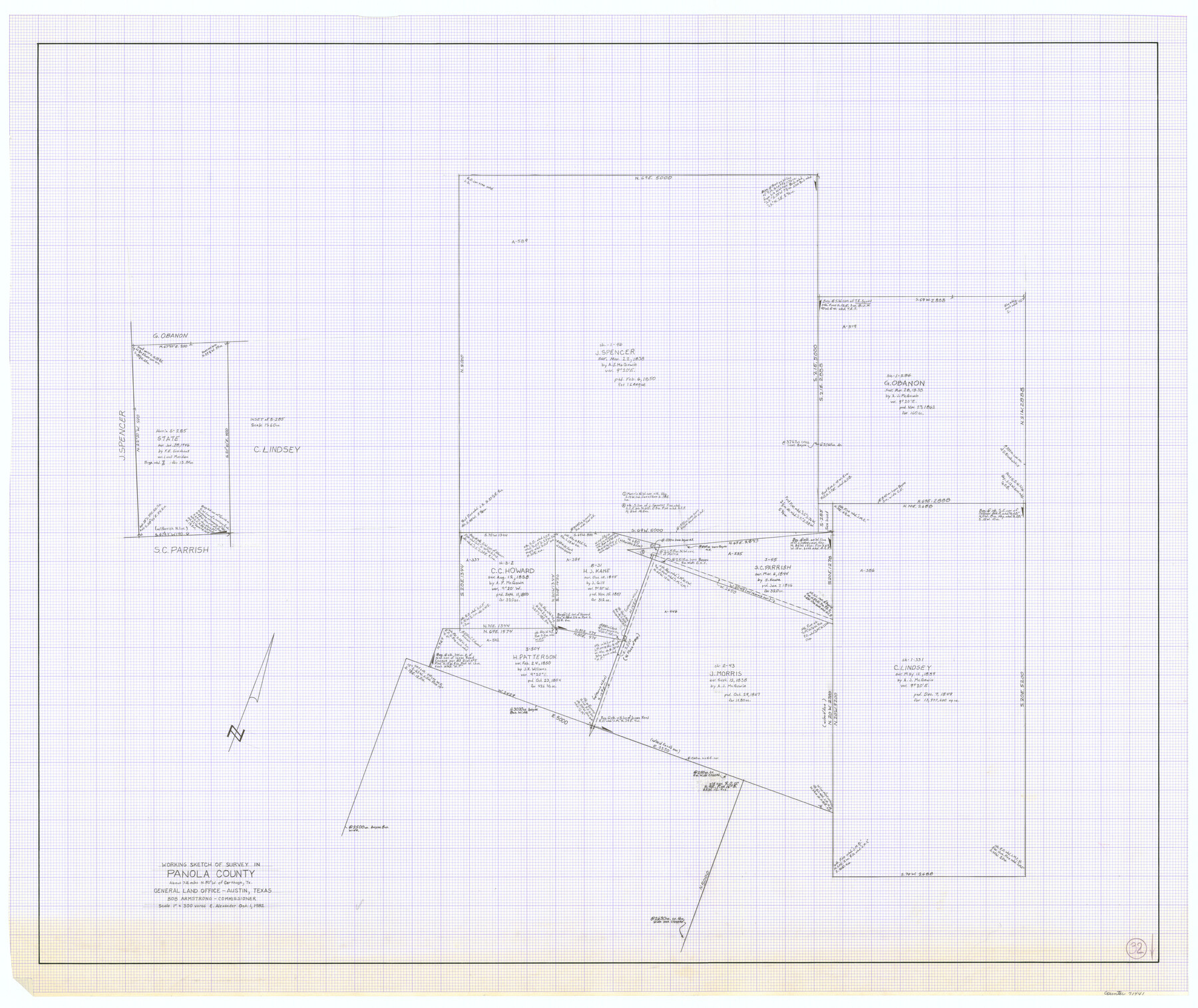
Panola County Working Sketch 32
-
Map/Doc
71441
-
Collection
General Map Collection
-
Object Dates
10/1/1982 (Creation Date)
-
People and Organizations
Earl Alexander (Draftsman)
-
Counties
Panola
-
Subjects
Surveying Working Sketch
-
Scale
1" = 300 varas
Part of: General Map Collection
Blanco County Working Sketch 35

Print $20.00
- Digital $50.00
Blanco County Working Sketch 35
1978
Size 28.7 x 36.6 inches
Map/Doc 67395
Kaufman County Boundary File 5a

Print $28.00
- Digital $50.00
Kaufman County Boundary File 5a
Size 14.2 x 8.8 inches
Map/Doc 55951
Hutchinson County Working Sketch 21

Print $20.00
- Digital $50.00
Hutchinson County Working Sketch 21
1965
Size 35.0 x 40.8 inches
Map/Doc 66381
Shackelford County Working Sketch 6

Print $20.00
- Digital $50.00
Shackelford County Working Sketch 6
1963
Size 26.1 x 28.9 inches
Map/Doc 63846
Chambers County Working Sketch 8

Print $20.00
- Digital $50.00
Chambers County Working Sketch 8
1940
Size 20.9 x 44.4 inches
Map/Doc 67991
Real County Rolled Sketch 8

Print $20.00
- Digital $50.00
Real County Rolled Sketch 8
1967
Size 32.0 x 36.7 inches
Map/Doc 9833
Freestone County Working Sketch 3

Print $20.00
- Digital $50.00
Freestone County Working Sketch 3
1914
Size 18.8 x 16.2 inches
Map/Doc 69245
Map of Eastland Co.

Print $20.00
- Digital $50.00
Map of Eastland Co.
1896
Size 40.0 x 42.8 inches
Map/Doc 78411
Map of Nacogdoches County

Print $20.00
- Digital $50.00
Map of Nacogdoches County
1880
Size 23.9 x 20.9 inches
Map/Doc 3908
Nueces County Rolled Sketch 76

Print $20.00
- Digital $50.00
Nueces County Rolled Sketch 76
1981
Size 18.3 x 23.6 inches
Map/Doc 6937
San Augustine Co.

Print $20.00
- Digital $50.00
San Augustine Co.
1949
Size 47.9 x 31.2 inches
Map/Doc 73281
Motley County Sketch File 19 (N)

Print $24.00
- Digital $50.00
Motley County Sketch File 19 (N)
1940
Size 14.2 x 8.8 inches
Map/Doc 32064
You may also like
Val Verde County Working Sketch 75

Print $40.00
- Digital $50.00
Val Verde County Working Sketch 75
1971
Size 31.4 x 49.2 inches
Map/Doc 72210
Jefferson County Rolled Sketch 67

Print $20.00
- Digital $50.00
Jefferson County Rolled Sketch 67
2007
Size 21.1 x 23.6 inches
Map/Doc 93426
Culberson County Rolled Sketch 48

Print $335.00
- Digital $50.00
Culberson County Rolled Sketch 48
1960
Size 11.0 x 15.4 inches
Map/Doc 45339
Erath County Working Sketch 50b

Print $20.00
- Digital $50.00
Erath County Working Sketch 50b
Size 43.4 x 25.8 inches
Map/Doc 69132
Rockwall County Boundary File 75a

Print $10.00
- Digital $50.00
Rockwall County Boundary File 75a
Size 13.0 x 8.2 inches
Map/Doc 58481
[Beaumont, Sour Lake and Western Ry. Right of Way and Alignment - Frisco]
![64111, [Beaumont, Sour Lake and Western Ry. Right of Way and Alignment - Frisco], General Map Collection](https://historictexasmaps.com/wmedia_w700/maps/64111.tif.jpg)
Print $20.00
- Digital $50.00
[Beaumont, Sour Lake and Western Ry. Right of Way and Alignment - Frisco]
1910
Size 19.8 x 45.9 inches
Map/Doc 64111
Flight Mission No. DIX-8P, Frame 75, Aransas County

Print $20.00
- Digital $50.00
Flight Mission No. DIX-8P, Frame 75, Aransas County
1956
Size 18.9 x 22.3 inches
Map/Doc 83906
Flight Mission No. DAG-24K, Frame 138, Matagorda County

Print $20.00
- Digital $50.00
Flight Mission No. DAG-24K, Frame 138, Matagorda County
1953
Size 18.4 x 15.8 inches
Map/Doc 86556
Plan C, Part 3rd This plan represents that portion of the boundary between the Republic of Texas and the United States included between the 72nd mile mound and Red River

Print $20.00
- Digital $50.00
Plan C, Part 3rd This plan represents that portion of the boundary between the Republic of Texas and the United States included between the 72nd mile mound and Red River
1842
Size 19.3 x 27.2 inches
Map/Doc 65414
No. 7 Presidio County

Print $20.00
- Digital $50.00
No. 7 Presidio County
Size 23.9 x 26.2 inches
Map/Doc 3969
Val Verde County Working Sketch 82

Print $20.00
- Digital $50.00
Val Verde County Working Sketch 82
1973
Size 42.1 x 33.1 inches
Map/Doc 72217
Uvalde County Sketch File 7

Print $6.00
- Digital $50.00
Uvalde County Sketch File 7
Size 14.5 x 11.4 inches
Map/Doc 38962