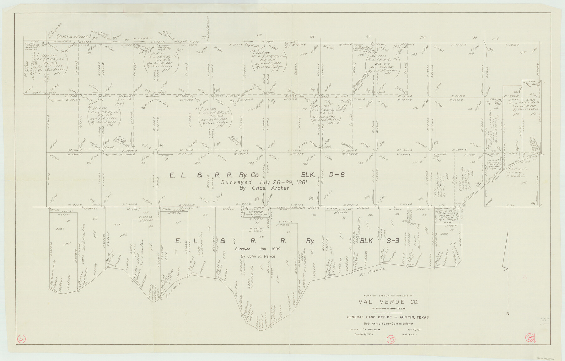
Val Verde County Working Sketch 75
-
Map/Doc
72210
-
Collection
General Map Collection
-
Object Dates
8/17/1971 (Creation Date)
-
People and Organizations
Victor E. Sterzing (Compiler)
Crockett L. Slover (Inker)
-
Counties
Val Verde
-
Subjects
Surveying Working Sketch
-
Height x Width
31.4 x 49.2 inches
79.8 x 125.0 cm
-
Scale
1" = 400 varas
Part of: General Map Collection
Flight Mission No. CUG-3P, Frame 192, Kleberg County

Print $20.00
- Digital $50.00
Flight Mission No. CUG-3P, Frame 192, Kleberg County
1956
Size 18.4 x 22.2 inches
Map/Doc 86296
Chambers County Rolled Sketch 20

Print $1171.00
- Digital $50.00
Chambers County Rolled Sketch 20
Size 10.7 x 16.2 inches
Map/Doc 43987
Map of Marion County

Print $20.00
- Digital $50.00
Map of Marion County
1920
Size 29.6 x 42.7 inches
Map/Doc 66917

Flight Mission No. CLL-3N, Frame 35, Willacy County

Print $20.00
- Digital $50.00
Flight Mission No. CLL-3N, Frame 35, Willacy County
1954
Size 18.3 x 22.1 inches
Map/Doc 87093
Andrews County Rolled Sketch 19

Print $20.00
- Digital $50.00
Andrews County Rolled Sketch 19
1945
Size 23.3 x 28.1 inches
Map/Doc 77167
San Patricio County

Print $20.00
- Digital $50.00
San Patricio County
1939
Size 31.6 x 41.6 inches
Map/Doc 77416
Pecos County Sketch File 118

Print $28.00
- Digital $50.00
Pecos County Sketch File 118
1933
Size 5.0 x 7.5 inches
Map/Doc 34097
Kleberg County Rolled Sketch 10-12

Print $20.00
- Digital $50.00
Kleberg County Rolled Sketch 10-12
1951
Size 38.8 x 34.9 inches
Map/Doc 9371
Township No. 4 South Range No. 16 West of the Indian Meridian

Print $20.00
- Digital $50.00
Township No. 4 South Range No. 16 West of the Indian Meridian
1875
Size 19.4 x 24.4 inches
Map/Doc 75165
Martha's Vineyard to Block Island Including Western Approach to Cape Cod Canal

Print $20.00
- Digital $50.00
Martha's Vineyard to Block Island Including Western Approach to Cape Cod Canal
1963
Size 51.1 x 36.9 inches
Map/Doc 73555
Mitchell County Boundary File 3

Print $6.00
- Digital $50.00
Mitchell County Boundary File 3
Size 11.2 x 8.6 inches
Map/Doc 57369
You may also like
Flight Mission No. DAH-9M, Frame 165, Orange County

Print $20.00
- Digital $50.00
Flight Mission No. DAH-9M, Frame 165, Orange County
1953
Size 18.5 x 22.3 inches
Map/Doc 86864
Flight Mission No. CRC-4R, Frame 65, Chambers County

Print $20.00
- Digital $50.00
Flight Mission No. CRC-4R, Frame 65, Chambers County
1956
Size 18.6 x 22.4 inches
Map/Doc 84869
Wichita County Sketch File 24

Print $20.00
- Digital $50.00
Wichita County Sketch File 24
1919
Size 17.3 x 24.0 inches
Map/Doc 12684
Flight Mission No. DQN-1K, Frame 106, Calhoun County

Print $20.00
- Digital $50.00
Flight Mission No. DQN-1K, Frame 106, Calhoun County
1953
Size 18.8 x 22.3 inches
Map/Doc 84173
Flight Mission No. DAG-24K, Frame 48, Matagorda County

Print $20.00
- Digital $50.00
Flight Mission No. DAG-24K, Frame 48, Matagorda County
1953
Size 18.5 x 22.1 inches
Map/Doc 86535
Hood County Working Sketch 10

Print $20.00
- Digital $50.00
Hood County Working Sketch 10
1974
Size 26.7 x 35.6 inches
Map/Doc 66204
Sherman County Boundary File 2

Print $34.00
- Digital $50.00
Sherman County Boundary File 2
Size 13.0 x 9.0 inches
Map/Doc 58761
Hudspeth County Working Sketch 1

Print $40.00
- Digital $50.00
Hudspeth County Working Sketch 1
1911
Size 26.5 x 53.3 inches
Map/Doc 69023
Webb County Working Sketch 8

Print $20.00
- Digital $50.00
Webb County Working Sketch 8
1911
Size 43.1 x 39.9 inches
Map/Doc 72373

Hutchinson County Working Sketch 27

Print $20.00
- Digital $50.00
Hutchinson County Working Sketch 27
1978
Size 26.8 x 22.2 inches
Map/Doc 66387
Rusk County Working Sketch 26

Print $20.00
- Digital $50.00
Rusk County Working Sketch 26
1938
Size 42.8 x 36.8 inches
Map/Doc 63662