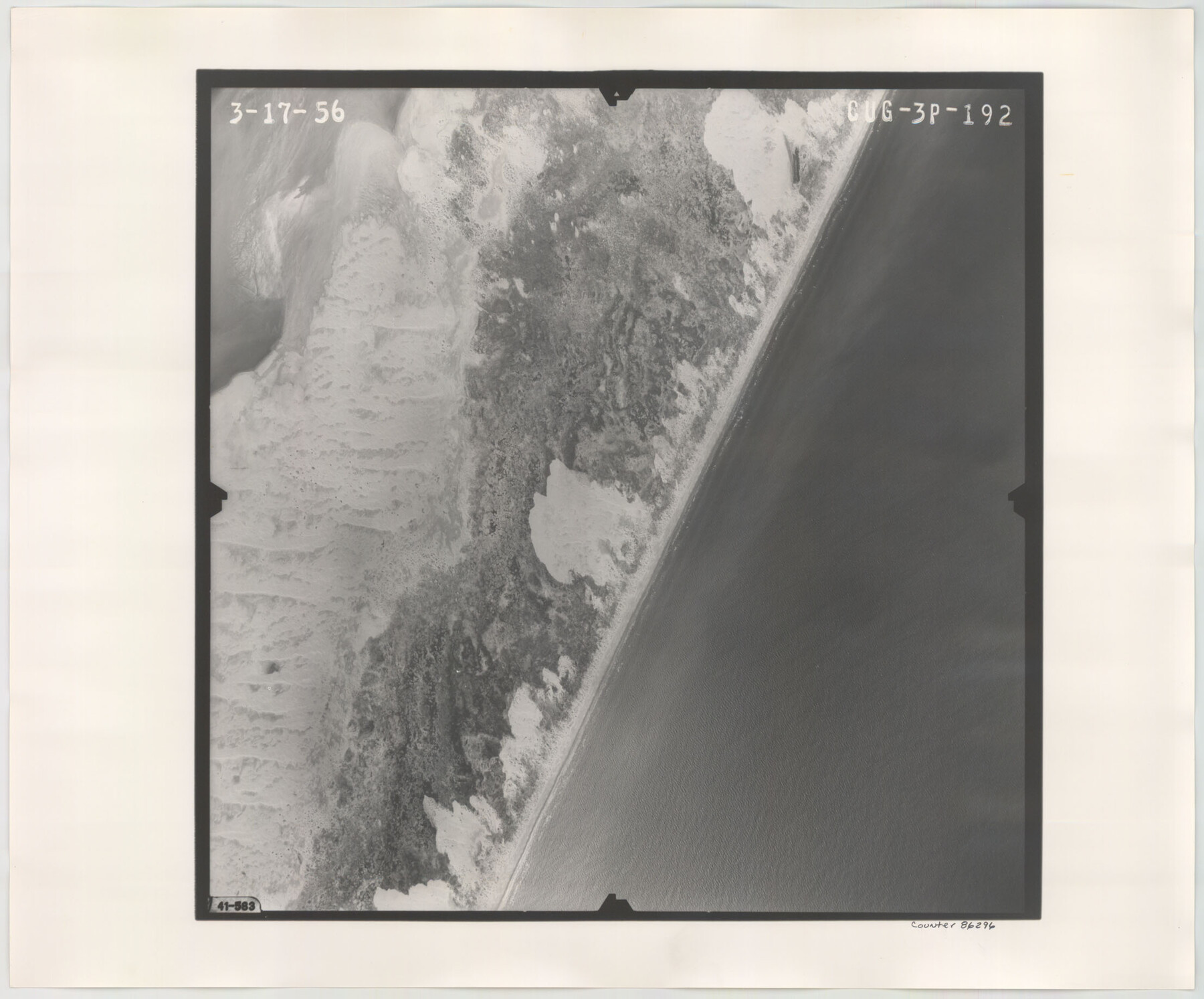
Flight Mission No. CUG-3P, Frame 192, Kleberg County
CUG-3P-192
-
Map/Doc
86296
-
Collection
General Map Collection
-
Object Dates
1956/3/17 (Creation Date)
-
People and Organizations
U. S. Department of Agriculture (Publisher)
-
Counties
Kleberg
-
Subjects
Aerial Photograph
-
Height x Width
18.4 x 22.2 inches
46.7 x 56.4 cm
-
Comments
Flown by V. L. Beavers and Associates of San Antonio, Texas.
Part of: General Map Collection
Gillespie County Working Sketch 2

Print $20.00
- Digital $50.00
Gillespie County Working Sketch 2
1958
Size 35.9 x 26.0 inches
Map/Doc 63165
Shaw Farm, State Prison Farm, Bowie County

Print $20.00
- Digital $50.00
Shaw Farm, State Prison Farm, Bowie County
Size 15.7 x 17.2 inches
Map/Doc 82854
Flight Mission No. DQN-1K, Frame 133, Calhoun County

Print $20.00
- Digital $50.00
Flight Mission No. DQN-1K, Frame 133, Calhoun County
1953
Size 18.6 x 22.4 inches
Map/Doc 84196
Flight Mission No. BQY-15M, Frame 17, Harris County

Print $20.00
- Digital $50.00
Flight Mission No. BQY-15M, Frame 17, Harris County
1953
Size 18.5 x 22.2 inches
Map/Doc 85315
Kimble County

Print $40.00
- Digital $50.00
Kimble County
1890
Size 38.8 x 58.1 inches
Map/Doc 78414
Atascosa County Working Sketch 22

Print $20.00
- Digital $50.00
Atascosa County Working Sketch 22
1956
Size 31.6 x 25.5 inches
Map/Doc 67218
Map of Bexar County

Print $20.00
- Digital $50.00
Map of Bexar County
1879
Size 24.2 x 27.6 inches
Map/Doc 4508
Live Oak County Working Sketch 10

Print $20.00
- Digital $50.00
Live Oak County Working Sketch 10
1946
Size 36.2 x 41.8 inches
Map/Doc 70595
Frio County Working Sketch 22

Print $20.00
- Digital $50.00
Frio County Working Sketch 22
1990
Size 24.9 x 33.9 inches
Map/Doc 69296
Brazoria County

Print $20.00
- Digital $50.00
Brazoria County
1873
Size 26.7 x 26.1 inches
Map/Doc 858
Swisher County Working Sketch 5

Print $20.00
- Digital $50.00
Swisher County Working Sketch 5
1973
Size 16.0 x 26.5 inches
Map/Doc 62416
Gonzales County Sketch File 6

Print $4.00
- Digital $50.00
Gonzales County Sketch File 6
1880
Size 10.2 x 8.7 inches
Map/Doc 24385
You may also like
[Worksheets related to the Wilson Strickland survey and vicinity]
![91383, [Worksheets related to the Wilson Strickland survey and vicinity], Twichell Survey Records](https://historictexasmaps.com/wmedia_w700/maps/91383-1.tif.jpg)
Print $20.00
- Digital $50.00
[Worksheets related to the Wilson Strickland survey and vicinity]
Size 36.0 x 15.7 inches
Map/Doc 91383
Polk County Sketch File 14a

Print $4.00
- Digital $50.00
Polk County Sketch File 14a
1863
Size 9.0 x 14.6 inches
Map/Doc 34155
Victoria County Aerial Photograph Index Sheet 5

Print $20.00
- Digital $50.00
Victoria County Aerial Photograph Index Sheet 5
1953
Size 19.8 x 23.6 inches
Map/Doc 83749
Wheeler County

Print $20.00
- Digital $50.00
Wheeler County
1899
Size 42.2 x 37.9 inches
Map/Doc 95672
McMullen County Working Sketch 40

Print $40.00
- Digital $50.00
McMullen County Working Sketch 40
1975
Size 48.3 x 34.8 inches
Map/Doc 70741
The Chief Justice County of Jackson. April 24, 1837

Print $20.00
The Chief Justice County of Jackson. April 24, 1837
2020
Size 18.4 x 21.7 inches
Map/Doc 96051
Coke County Rolled Sketch 19A

Print $20.00
- Digital $50.00
Coke County Rolled Sketch 19A
1954
Size 19.9 x 24.8 inches
Map/Doc 5520
Map of Henderson County

Print $40.00
- Digital $50.00
Map of Henderson County
1897
Size 28.9 x 58.9 inches
Map/Doc 66860
Kinney County Working Sketch 7

Print $20.00
- Digital $50.00
Kinney County Working Sketch 7
1908
Size 18.6 x 22.0 inches
Map/Doc 70189
Gray County Boundary File 3a

Print $4.00
- Digital $50.00
Gray County Boundary File 3a
Size 14.2 x 8.8 inches
Map/Doc 53874
Stonewall County

Print $20.00
- Digital $50.00
Stonewall County
1933
Size 47.6 x 39.5 inches
Map/Doc 73295
Hood County Sketch File 17

Print $4.00
- Digital $50.00
Hood County Sketch File 17
1860
Size 8.2 x 9.4 inches
Map/Doc 26599