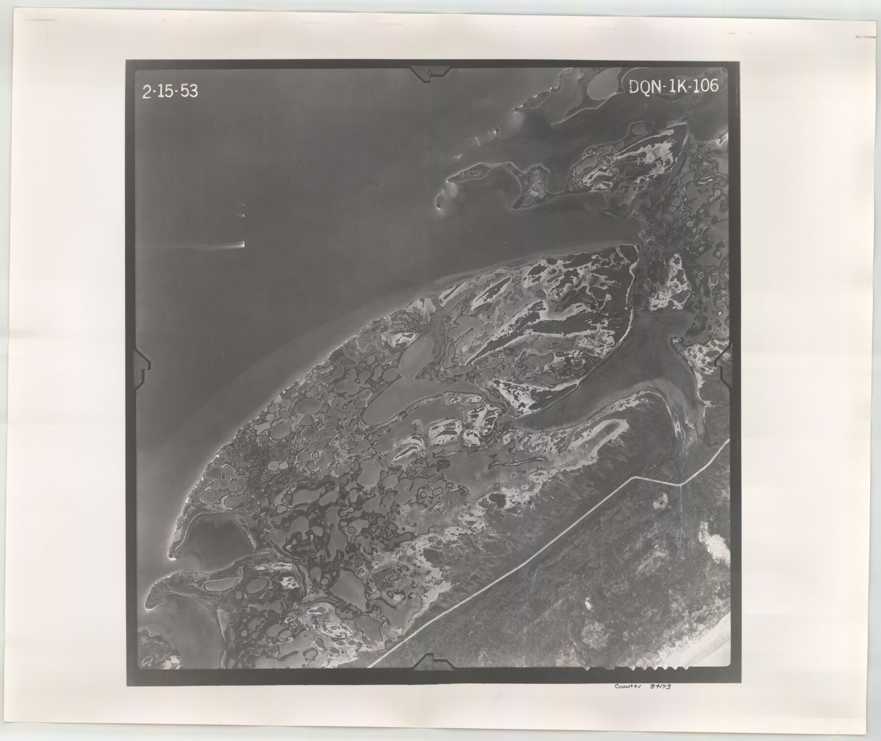
Flight Mission No. DQN-1K, Frame 106, Calhoun County
DQN-1K-106
-
Map/Doc
84173
-
Collection
General Map Collection
-
Object Dates
1953/2/15 (Creation Date)
-
People and Organizations
U. S. Department of Agriculture (Publisher)
-
Counties
Calhoun
-
Subjects
Aerial Photograph
-
Height x Width
18.8 x 22.3 inches
47.8 x 56.6 cm
-
Comments
Flown by Aero Exploration Company of Tulsa, Oklahoma.
Part of: General Map Collection
Presidio County Working Sketch 113

Print $40.00
- Digital $50.00
Presidio County Working Sketch 113
1981
Size 48.9 x 37.1 inches
Map/Doc 71790
Flight Mission No. DIX-3P, Frame 171, Aransas County

Print $20.00
- Digital $50.00
Flight Mission No. DIX-3P, Frame 171, Aransas County
1956
Size 17.6 x 18.2 inches
Map/Doc 83777
Hemphill County Working Sketch 26

Print $40.00
- Digital $50.00
Hemphill County Working Sketch 26
1974
Size 57.2 x 48.3 inches
Map/Doc 66121
Bell County Sketch File 36

Print $12.00
- Digital $50.00
Bell County Sketch File 36
1839
Size 6.8 x 8.4 inches
Map/Doc 14457
San Patricio County Sketch File 51

Print $12.00
- Digital $50.00
San Patricio County Sketch File 51
1917
Size 11.2 x 8.8 inches
Map/Doc 36375
Culberson County Sketch File 41

Print $20.00
- Digital $50.00
Culberson County Sketch File 41
1920
Size 12.5 x 8.8 inches
Map/Doc 20312
Flight Mission No. DQN-2K, Frame 7, Calhoun County

Print $20.00
- Digital $50.00
Flight Mission No. DQN-2K, Frame 7, Calhoun County
1953
Size 18.4 x 22.1 inches
Map/Doc 84224
Flight Mission No. CUI-1H, Frame 95, Milam County

Print $20.00
- Digital $50.00
Flight Mission No. CUI-1H, Frame 95, Milam County
1951
Size 18.4 x 22.2 inches
Map/Doc 86603
Burleson County Working Sketch 30

Print $20.00
- Digital $50.00
Burleson County Working Sketch 30
1981
Size 37.4 x 26.9 inches
Map/Doc 67749
Harris County Sketch File 74

Print $22.00
- Digital $50.00
Harris County Sketch File 74
1944
Size 17.1 x 12.2 inches
Map/Doc 25543
Map of Brown County

Print $40.00
- Digital $50.00
Map of Brown County
1886
Size 48.9 x 41.6 inches
Map/Doc 3342
Travis County State Real Property Sketch 13

Print $26.00
- Digital $50.00
Travis County State Real Property Sketch 13
2006
Size 35.3 x 24.1 inches
Map/Doc 88620
You may also like
Railroad Track Map, H&TCRRCo., Falls County, Texas

Print $4.00
- Digital $50.00
Railroad Track Map, H&TCRRCo., Falls County, Texas
1918
Size 11.8 x 18.4 inches
Map/Doc 62838
Flight Mission No. DQN-3K, Frame 37, Calhoun County

Print $20.00
- Digital $50.00
Flight Mission No. DQN-3K, Frame 37, Calhoun County
1953
Size 16.4 x 16.1 inches
Map/Doc 84350
Floyd County Sketch File 32a

Print $20.00
- Digital $50.00
Floyd County Sketch File 32a
1952
Size 36.5 x 33.1 inches
Map/Doc 10451
Taylor County Rolled Sketch 26

Print $20.00
- Digital $50.00
Taylor County Rolled Sketch 26
1982
Size 35.0 x 35.0 inches
Map/Doc 9987
Map of Wyoming Showing Test Wells for Oil and Gas, Anticlinal Axes, Oil and Gas Fields, Pipeline, Unit Areas and Land District Boundaries

Print $40.00
- Digital $50.00
Map of Wyoming Showing Test Wells for Oil and Gas, Anticlinal Axes, Oil and Gas Fields, Pipeline, Unit Areas and Land District Boundaries
1949
Size 55.2 x 42.6 inches
Map/Doc 89886
Revised Sectional Map Number 2, Showing Land Surveys in Counties of Howard, Martin, Andrews, Glasscock, Midland, Ector, and Portions of Borden, Dawson, Irion, Reagan, Upton, Crane, Ward, and Winkler, Texas

Print $20.00
- Digital $50.00
Revised Sectional Map Number 2, Showing Land Surveys in Counties of Howard, Martin, Andrews, Glasscock, Midland, Ector, and Portions of Borden, Dawson, Irion, Reagan, Upton, Crane, Ward, and Winkler, Texas
Size 20.0 x 25.4 inches
Map/Doc 91358
Kimble County Working Sketch 84

Print $20.00
- Digital $50.00
Kimble County Working Sketch 84
1972
Size 32.5 x 30.7 inches
Map/Doc 70152
Denton County Sketch File 15

Print $8.00
- Digital $50.00
Denton County Sketch File 15
1857
Size 13.1 x 8.2 inches
Map/Doc 20724
[Survey 9, Block 9 Potter and Randall]
![91721, [Survey 9, Block 9 Potter and Randall], Twichell Survey Records](https://historictexasmaps.com/wmedia_w700/maps/91721-1.tif.jpg)
Print $20.00
- Digital $50.00
[Survey 9, Block 9 Potter and Randall]
Size 22.1 x 15.9 inches
Map/Doc 91721
[Sketch showing surveys in Blocks 1, 2, 3, 5, 8, 9, B-4 and S]
![91753, [Sketch showing surveys in Blocks 1, 2, 3, 5, 8, 9, B-4 and S], Twichell Survey Records](https://historictexasmaps.com/wmedia_w700/maps/91753-1.tif.jpg)
Print $20.00
- Digital $50.00
[Sketch showing surveys in Blocks 1, 2, 3, 5, 8, 9, B-4 and S]
1875
Size 27.8 x 27.2 inches
Map/Doc 91753
University Land, Winkler-Andrews-Gaines-Dawson-Martin Counties

Print $40.00
- Digital $50.00
University Land, Winkler-Andrews-Gaines-Dawson-Martin Counties
Size 42.8 x 53.2 inches
Map/Doc 62931
Calhoun County Aerial Photograph Index Sheet 1

Print $20.00
- Digital $50.00
Calhoun County Aerial Photograph Index Sheet 1
1953
Size 23.7 x 19.7 inches
Map/Doc 83670