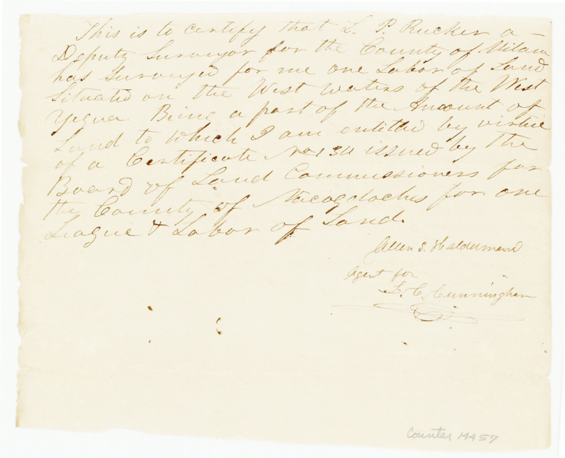
Bell County Sketch File 36
[Rejected field notes for the Hiram Pease survey]
-
Map/Doc
14457
-
Collection
General Map Collection
-
Object Dates
1839/9/28 (Creation Date)
1984/11/18 (File Date)
-
People and Organizations
G.B. Erath (Surveyor/Engineer)
-
Counties
Bell
-
Subjects
Surveying Sketch File
-
Height x Width
6.8 x 8.4 inches
17.3 x 21.3 cm
-
Medium
paper, manuscript
-
Features
West Yegua Creek
Noland's Creek
Part of: General Map Collection
Cameron County

Print $20.00
- Digital $50.00
Cameron County
1913
Size 28.9 x 32.1 inches
Map/Doc 4752
Atascosa County Sketch File 36

Print $20.00
- Digital $50.00
Atascosa County Sketch File 36
1947
Size 16.0 x 22.3 inches
Map/Doc 10867
Upshur County Working Sketch 2

Print $20.00
- Digital $50.00
Upshur County Working Sketch 2
1934
Size 16.3 x 21.4 inches
Map/Doc 69558
A sketch of surveys made on the coast east of Bolivar Point

Print $20.00
- Digital $50.00
A sketch of surveys made on the coast east of Bolivar Point
1841
Size 9.1 x 22.0 inches
Map/Doc 22
Taylor County Rolled Sketch 27A

Print $20.00
- Digital $50.00
Taylor County Rolled Sketch 27A
Size 30.5 x 21.4 inches
Map/Doc 7919
Hall County Working Sketch 5

Print $20.00
- Digital $50.00
Hall County Working Sketch 5
1938
Size 21.7 x 25.2 inches
Map/Doc 63333
Wise County Working Sketch 13

Print $20.00
- Digital $50.00
Wise County Working Sketch 13
1971
Size 27.9 x 34.0 inches
Map/Doc 72627
Cass County Working Sketch 4

Print $20.00
- Digital $50.00
Cass County Working Sketch 4
1936
Size 33.7 x 29.1 inches
Map/Doc 67907
Sherman County Boundary File 2a

Print $10.00
- Digital $50.00
Sherman County Boundary File 2a
Size 12.9 x 8.9 inches
Map/Doc 58768
Gillespie County Sketch File 3a

Print $4.00
- Digital $50.00
Gillespie County Sketch File 3a
1860
Size 7.6 x 8.3 inches
Map/Doc 24131
Harris County Historic Topographic 9

Print $20.00
- Digital $50.00
Harris County Historic Topographic 9
1916
Size 14.6 x 24.0 inches
Map/Doc 65819
United States - Gulf Coast Texas - Northern part of Laguna Madre

Print $20.00
- Digital $50.00
United States - Gulf Coast Texas - Northern part of Laguna Madre
1923
Size 26.6 x 18.3 inches
Map/Doc 72931
You may also like
Flight Mission No. BRA-16M, Frame 182, Jefferson County

Print $20.00
- Digital $50.00
Flight Mission No. BRA-16M, Frame 182, Jefferson County
1953
Size 18.6 x 22.4 inches
Map/Doc 85780
Shackelford County Sketch File 11

Print $20.00
- Digital $50.00
Shackelford County Sketch File 11
1914
Size 16.8 x 17.0 inches
Map/Doc 12317
Flight Mission No. CGI-3N, Frame 124, Cameron County

Print $20.00
- Digital $50.00
Flight Mission No. CGI-3N, Frame 124, Cameron County
1954
Size 18.5 x 22.2 inches
Map/Doc 84597
Knox County Rolled Sketch 18

Print $20.00
- Digital $50.00
Knox County Rolled Sketch 18
1945
Size 23.1 x 29.5 inches
Map/Doc 6558
Outer Continental Shelf Leasing Maps (Louisiana Offshore Operations)

Print $20.00
- Digital $50.00
Outer Continental Shelf Leasing Maps (Louisiana Offshore Operations)
1954
Size 18.2 x 16.0 inches
Map/Doc 76105
Presidio County Working Sketch 117

Print $20.00
- Digital $50.00
Presidio County Working Sketch 117
1982
Size 14.7 x 15.9 inches
Map/Doc 71794
Flight Mission No. DQN-7K, Frame 89, Calhoun County

Print $20.00
- Digital $50.00
Flight Mission No. DQN-7K, Frame 89, Calhoun County
1953
Size 18.4 x 22.2 inches
Map/Doc 84480
Hockley County Rolled Sketch 9

Print $20.00
- Digital $50.00
Hockley County Rolled Sketch 9
1947
Size 21.2 x 16.5 inches
Map/Doc 6218
El Paso County Sketch File 35

Print $10.00
- Digital $50.00
El Paso County Sketch File 35
1886
Size 11.3 x 8.9 inches
Map/Doc 22161
Morris County Boundary File 2

Print $6.00
- Digital $50.00
Morris County Boundary File 2
Size 14.1 x 8.7 inches
Map/Doc 57482
El Paso County Rolled Sketch 52

Print $20.00
- Digital $50.00
El Paso County Rolled Sketch 52
1929
Size 18.4 x 24.3 inches
Map/Doc 5839
Pecos County Rolled Sketch 54

Print $11.00
- Digital $50.00
Pecos County Rolled Sketch 54
1916
Size 9.7 x 15.0 inches
Map/Doc 48099