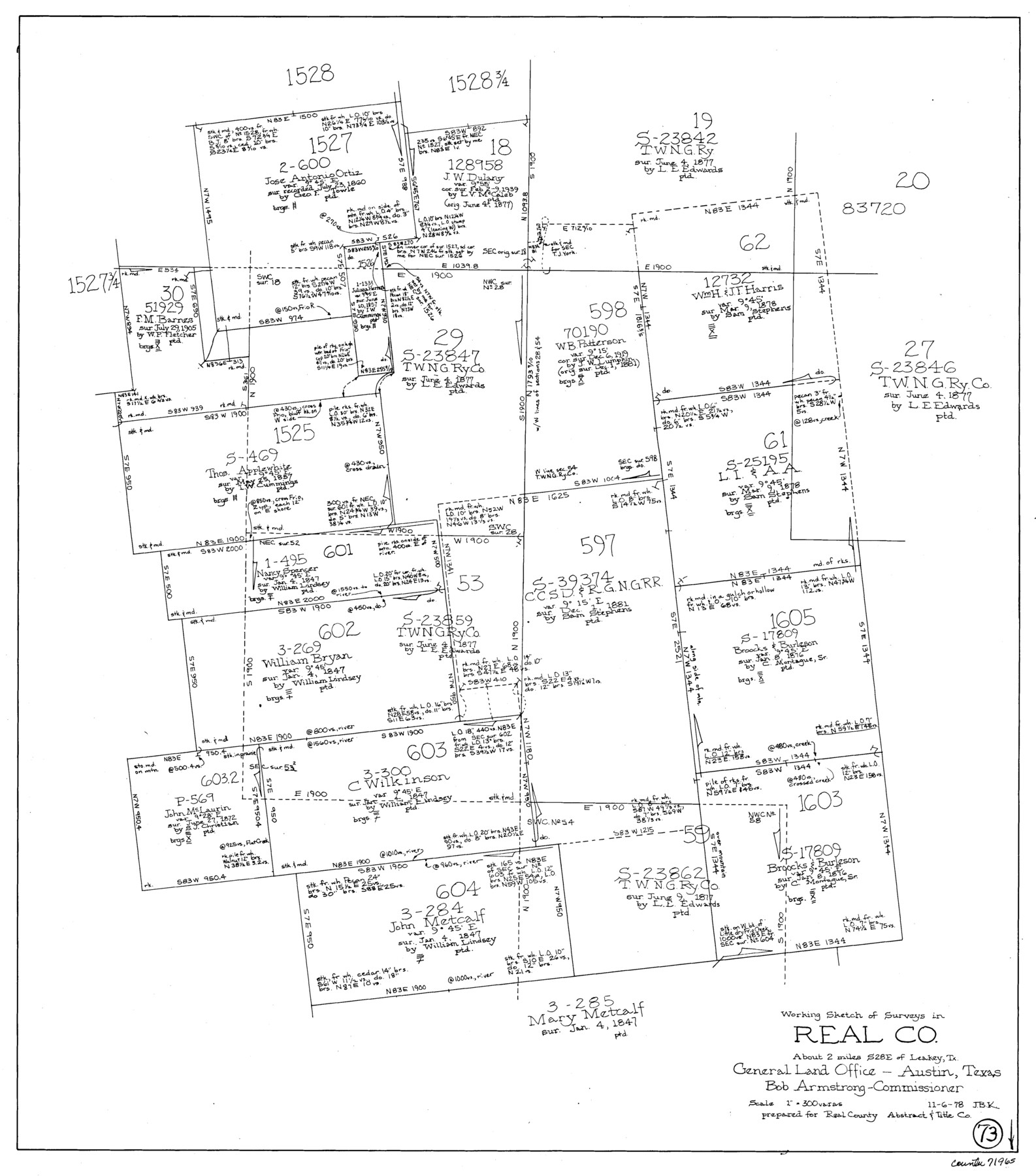
Real County Working Sketch 73
-
Map/Doc
71965
-
Collection
General Map Collection
-
Object Dates
11/6/1978 (Creation Date)
-
People and Organizations
Joan Kilpatrick (Draftsman)
-
Counties
Real
-
Subjects
Surveying Working Sketch
-
Height x Width
28.2 x 24.9 inches
71.6 x 63.3 cm
-
Scale
1" = 300 varas
Part of: General Map Collection
Presidio County Sketch File 91

Print $40.00
- Digital $50.00
Presidio County Sketch File 91
Size 12.3 x 15.9 inches
Map/Doc 34763
Flight Mission No. DAG-17K, Frame 120, Matagorda County

Print $20.00
- Digital $50.00
Flight Mission No. DAG-17K, Frame 120, Matagorda County
1952
Size 18.6 x 22.4 inches
Map/Doc 86340
Crockett County Rolled Sketch 88K

Print $40.00
- Digital $50.00
Crockett County Rolled Sketch 88K
1973
Size 43.0 x 57.4 inches
Map/Doc 8735
Chambers County Sketch File 48

Print $88.00
- Digital $50.00
Chambers County Sketch File 48
1925
Size 14.3 x 8.8 inches
Map/Doc 18002
Yoakum County Sketch File 16

Print $20.00
- Digital $50.00
Yoakum County Sketch File 16
1939
Size 15.0 x 19.4 inches
Map/Doc 12709
Flight Mission No. CUG-3P, Frame 82, Kleberg County

Print $20.00
- Digital $50.00
Flight Mission No. CUG-3P, Frame 82, Kleberg County
1956
Size 18.6 x 22.2 inches
Map/Doc 86257
Nueces County NRC Article 33.136 Location Key Sheet

Print $20.00
- Digital $50.00
Nueces County NRC Article 33.136 Location Key Sheet
1975
Size 27.0 x 22.8 inches
Map/Doc 77033
Kenedy County Aerial Photograph Index Sheet 1

Print $20.00
- Digital $50.00
Kenedy County Aerial Photograph Index Sheet 1
1943
Size 23.3 x 19.5 inches
Map/Doc 83713
Flight Mission No. CUG-2P, Frame 12, Kleberg County

Print $20.00
- Digital $50.00
Flight Mission No. CUG-2P, Frame 12, Kleberg County
1956
Size 18.6 x 22.1 inches
Map/Doc 86184
Henderson County Working Sketch 11

Print $20.00
- Digital $50.00
Henderson County Working Sketch 11
1914
Size 20.7 x 22.5 inches
Map/Doc 66144
Flight Mission No. DAG-28K, Frame 25, Matagorda County

Print $20.00
- Digital $50.00
Flight Mission No. DAG-28K, Frame 25, Matagorda County
1953
Size 18.5 x 22.3 inches
Map/Doc 86593
Crockett County Working Sketch 60

Print $20.00
- Digital $50.00
Crockett County Working Sketch 60
1955
Size 45.8 x 35.3 inches
Map/Doc 68393
You may also like
Loving County Rolled Sketch 7

Print $20.00
- Digital $50.00
Loving County Rolled Sketch 7
Size 24.1 x 28.4 inches
Map/Doc 7479
Aransas County Rolled Sketch 12

Print $20.00
- Digital $50.00
Aransas County Rolled Sketch 12
Size 17.6 x 11.1 inches
Map/Doc 77191
Menard County Working Sketch 14

Print $20.00
- Digital $50.00
Menard County Working Sketch 14
1939
Size 19.2 x 19.8 inches
Map/Doc 70961
Ellis County Working Sketch 5

Print $40.00
- Digital $50.00
Ellis County Working Sketch 5
1997
Size 49.2 x 32.4 inches
Map/Doc 69021
Kaufman County, Texas

Print $20.00
- Digital $50.00
Kaufman County, Texas
1871
Size 24.9 x 18.8 inches
Map/Doc 735
Limestone County Working Sketch 27

Print $20.00
- Digital $50.00
Limestone County Working Sketch 27
2008
Size 34.4 x 35.6 inches
Map/Doc 88767
Flight Mission No. BQR-13K, Frame 166, Brazoria County

Print $20.00
- Digital $50.00
Flight Mission No. BQR-13K, Frame 166, Brazoria County
1952
Size 18.8 x 22.3 inches
Map/Doc 84091
Hudspeth County Working Sketch 9

Print $20.00
- Digital $50.00
Hudspeth County Working Sketch 9
1938
Size 20.1 x 41.1 inches
Map/Doc 66290
[Leagues 302- 308, 315- 318, Portions of Blocks S and M19, on Oldham-Potter County Line]
![91481, [Leagues 302- 308, 315- 318, Portions of Blocks S and M19, on Oldham-Potter County Line], Twichell Survey Records](https://historictexasmaps.com/wmedia_w700/maps/91481-1.tif.jpg)
Print $20.00
- Digital $50.00
[Leagues 302- 308, 315- 318, Portions of Blocks S and M19, on Oldham-Potter County Line]
Size 22.4 x 15.7 inches
Map/Doc 91481
Parmer County Working Sketch 1

Print $20.00
- Digital $50.00
Parmer County Working Sketch 1
1903
Map/Doc 71469
Hopkins County Sketch File 13

Print $4.00
- Digital $50.00
Hopkins County Sketch File 13
1858
Size 12.7 x 8.2 inches
Map/Doc 26709
Hunt County Sketch File 5

Print $4.00
- Digital $50.00
Hunt County Sketch File 5
1851
Size 12.9 x 8.2 inches
Map/Doc 27091