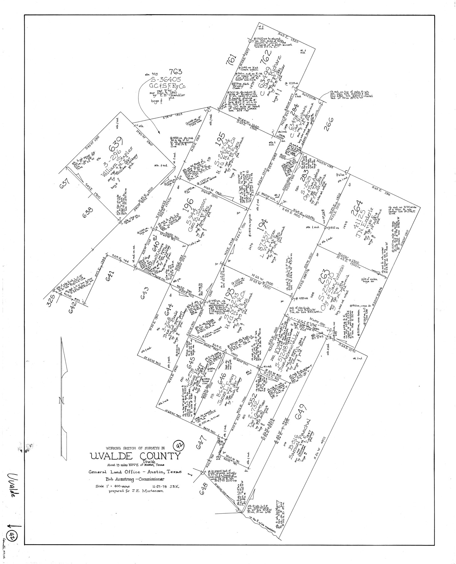
Uvalde County Working Sketch 42
-
Map/Doc
72112
-
Collection
General Map Collection
-
Object Dates
11/27/1978 (Creation Date)
-
People and Organizations
Joan Kilpatrick (Draftsman)
-
Counties
Uvalde
-
Subjects
Surveying Working Sketch
-
Height x Width
34.5 x 27.9 inches
87.6 x 70.9 cm
-
Scale
1" = 400 varas
Part of: General Map Collection
Flight Mission No. DCL-5C, Frame 69, Kenedy County

Print $20.00
- Digital $50.00
Flight Mission No. DCL-5C, Frame 69, Kenedy County
1943
Size 18.5 x 22.3 inches
Map/Doc 85852
Travis County Sketch File 32

Print $20.00
- Digital $50.00
Travis County Sketch File 32
Size 25.3 x 32.7 inches
Map/Doc 12460
Culberson County Working Sketch 23a

Print $20.00
- Digital $50.00
Culberson County Working Sketch 23a
1947
Size 32.1 x 46.4 inches
Map/Doc 68475
Val Verde County Working Sketch 6

Print $20.00
- Digital $50.00
Val Verde County Working Sketch 6
1915
Size 23.2 x 20.7 inches
Map/Doc 72141
Taylor County Sketch File 23

Print $19.00
- Digital $50.00
Taylor County Sketch File 23
2005
Size 11.0 x 8.5 inches
Map/Doc 87114
Bandera County Working Sketch 31

Print $20.00
- Digital $50.00
Bandera County Working Sketch 31
1955
Size 30.5 x 24.6 inches
Map/Doc 67627
Bee County Sketch File 2

Print $40.00
- Digital $50.00
Bee County Sketch File 2
Size 14.3 x 13.0 inches
Map/Doc 14259
Lubbock County Boundary File 4

Print $4.00
- Digital $50.00
Lubbock County Boundary File 4
Size 11.2 x 8.8 inches
Map/Doc 56491
Bowles's New Pocket Map of North America, divided into it's Provinces, Colonies, &c.

Print $20.00
- Digital $50.00
Bowles's New Pocket Map of North America, divided into it's Provinces, Colonies, &c.
1776
Size 21.8 x 29.0 inches
Map/Doc 93732
San Patricio County Working Sketch 1

Print $20.00
- Digital $50.00
San Patricio County Working Sketch 1
Size 25.2 x 26.2 inches
Map/Doc 63763
Calhoun County Rolled Sketch 14

Print $20.00
- Digital $50.00
Calhoun County Rolled Sketch 14
1949
Size 20.2 x 29.6 inches
Map/Doc 5510
Freestone County Working Sketch 12

Print $40.00
- Digital $50.00
Freestone County Working Sketch 12
1980
Size 54.5 x 38.6 inches
Map/Doc 69254
You may also like
Aransas County NRC Article 33.136 Sketch 15

Print $42.00
- Digital $50.00
Aransas County NRC Article 33.136 Sketch 15
Size 24.0 x 36.0 inches
Map/Doc 95316
Richland Hills Addition to Muleshoe, Bailey County, Texas

Print $20.00
- Digital $50.00
Richland Hills Addition to Muleshoe, Bailey County, Texas
1957
Size 22.7 x 31.7 inches
Map/Doc 92461
Hutchinson County Rolled Sketch 40

Print $20.00
- Digital $50.00
Hutchinson County Rolled Sketch 40
1981
Size 25.7 x 37.4 inches
Map/Doc 6297
Motley County Boundary File 2e

Print $40.00
- Digital $50.00
Motley County Boundary File 2e
Size 29.4 x 96.1 inches
Map/Doc 57561
Montague County Rolled Sketch 4

Print $20.00
- Digital $50.00
Montague County Rolled Sketch 4
1940
Size 37.8 x 20.5 inches
Map/Doc 6788
[John Durst's grant along the Trinity River]
![185, [John Durst's grant along the Trinity River], General Map Collection](https://historictexasmaps.com/wmedia_w700/maps/185.tif.jpg)
Print $2.00
- Digital $50.00
[John Durst's grant along the Trinity River]
Size 12.3 x 8.2 inches
Map/Doc 185
[Tex Mex & CCSDRG&G Railroad Blocks in Starr and Hidalgo Counties, Texas]
![4452, [Tex Mex & CCSDRG&G Railroad Blocks in Starr and Hidalgo Counties, Texas], Maddox Collection](https://historictexasmaps.com/wmedia_w700/maps/4452-1.tif.jpg)
Print $20.00
- Digital $50.00
[Tex Mex & CCSDRG&G Railroad Blocks in Starr and Hidalgo Counties, Texas]
1906
Size 28.7 x 24.2 inches
Map/Doc 4452
Coleman County Working Sketch 15

Print $20.00
- Digital $50.00
Coleman County Working Sketch 15
1952
Size 24.3 x 18.1 inches
Map/Doc 68081
From Aransas Pass Eastward, Texas

Print $40.00
- Digital $50.00
From Aransas Pass Eastward, Texas
1866
Size 32.1 x 53.4 inches
Map/Doc 73427
Harris County Working Sketch 113

Print $20.00
- Digital $50.00
Harris County Working Sketch 113
1982
Size 28.6 x 40.7 inches
Map/Doc 66005
Montgomery County Rolled Sketch 51

Print $20.00
- Digital $50.00
Montgomery County Rolled Sketch 51
2021
Map/Doc 97369
San Jacinto County Rolled Sketch 14

Print $20.00
- Digital $50.00
San Jacinto County Rolled Sketch 14
1998
Size 25.8 x 37.2 inches
Map/Doc 7569