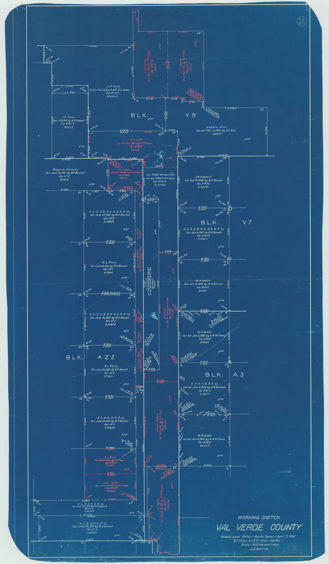
Val Verde County Working Sketch 32
-
Map/Doc
72167
-
Collection
General Map Collection
-
Object Dates
4/7/1938 (Creation Date)
-
People and Organizations
J.O. Barrow (Draftsman)
-
Counties
Val Verde
-
Subjects
Surveying Working Sketch
-
Height x Width
41.5 x 24.2 inches
105.4 x 61.5 cm
-
Scale
1" = 500 varas
Part of: General Map Collection
Cooke County Sketch File 27

Print $24.00
- Digital $50.00
Cooke County Sketch File 27
Size 9.8 x 8.5 inches
Map/Doc 19279
Mason County Rolled Sketch 1

Print $20.00
- Digital $50.00
Mason County Rolled Sketch 1
1939
Size 38.3 x 26.8 inches
Map/Doc 6672
Plano del Distrilo de Rio Grande Estado de Coahuila

Print $20.00
- Digital $50.00
Plano del Distrilo de Rio Grande Estado de Coahuila
1906
Size 30.3 x 31.5 inches
Map/Doc 1941
Dimmit County

Print $40.00
- Digital $50.00
Dimmit County
1976
Size 42.2 x 48.9 inches
Map/Doc 77265
Marion County Working Sketch 46

Print $20.00
- Digital $50.00
Marion County Working Sketch 46
2011
Size 21.4 x 29.1 inches
Map/Doc 90032
Grayson County Sketch File 13

Print $40.00
- Digital $50.00
Grayson County Sketch File 13
1853
Size 16.2 x 14.4 inches
Map/Doc 24480
Leon County Rolled Sketch 22

Print $20.00
- Digital $50.00
Leon County Rolled Sketch 22
1983
Size 29.9 x 27.1 inches
Map/Doc 6608
Kaufman County

Print $40.00
- Digital $50.00
Kaufman County
1942
Size 48.7 x 39.5 inches
Map/Doc 73202
Brazoria County Working Sketch 23

Print $20.00
- Digital $50.00
Brazoria County Working Sketch 23
1961
Size 37.9 x 32.4 inches
Map/Doc 67508
Edwards County Working Sketch 105

Print $40.00
- Digital $50.00
Edwards County Working Sketch 105
1972
Size 54.9 x 36.2 inches
Map/Doc 62186
Vicinity of San Luis Pass, Galveston Island, Texas

Print $40.00
- Digital $50.00
Vicinity of San Luis Pass, Galveston Island, Texas
1933
Size 36.9 x 57.2 inches
Map/Doc 69942

You may also like
Translations & Index to Field Notes of Spanish Titles, Vol. 1

Translations & Index to Field Notes of Spanish Titles, Vol. 1
1940
Map/Doc 94551
McCulloch County Working Sketch 12

Print $20.00
- Digital $50.00
McCulloch County Working Sketch 12
1982
Size 37.5 x 20.1 inches
Map/Doc 70687
Coleman County Sketch File 46

Print $20.00
- Digital $50.00
Coleman County Sketch File 46
1894
Size 24.0 x 21.8 inches
Map/Doc 11125
Zapata County Rolled Sketch 24

Print $20.00
- Digital $50.00
Zapata County Rolled Sketch 24
Size 38.8 x 28.0 inches
Map/Doc 8318
Flight Mission No. BQY-15M, Frame 10, Harris County

Print $20.00
- Digital $50.00
Flight Mission No. BQY-15M, Frame 10, Harris County
1953
Size 18.5 x 22.3 inches
Map/Doc 85308
Houston County Sketch File 23

Print $6.00
- Digital $50.00
Houston County Sketch File 23
1852
Size 6.5 x 5.2 inches
Map/Doc 26793
Morris County Boundary File 3

Print $6.00
- Digital $50.00
Morris County Boundary File 3
Size 10.8 x 8.1 inches
Map/Doc 57485
Flight Mission No. DIX-5P, Frame 145, Aransas County

Print $20.00
- Digital $50.00
Flight Mission No. DIX-5P, Frame 145, Aransas County
1956
Size 17.8 x 18.1 inches
Map/Doc 83806
Fractional Township No. 8 South Range No. 3 East of the Indian Meridian, Indian Territory

Print $20.00
- Digital $50.00
Fractional Township No. 8 South Range No. 3 East of the Indian Meridian, Indian Territory
1898
Size 19.2 x 24.4 inches
Map/Doc 75205
Fractional Township No. 7 South Range No. 4 East of the Indian Meridian, Indian Territory

Print $20.00
- Digital $50.00
Fractional Township No. 7 South Range No. 4 East of the Indian Meridian, Indian Territory
1898
Size 19.3 x 24.4 inches
Map/Doc 75207
Revised Map of Calvert, Robertson County, Texas

Print $20.00
- Digital $50.00
Revised Map of Calvert, Robertson County, Texas
Size 25.4 x 19.4 inches
Map/Doc 88741
Lubbock County Boundary File 6

Print $58.00
- Digital $50.00
Lubbock County Boundary File 6
Size 4.7 x 7.0 inches
Map/Doc 56494