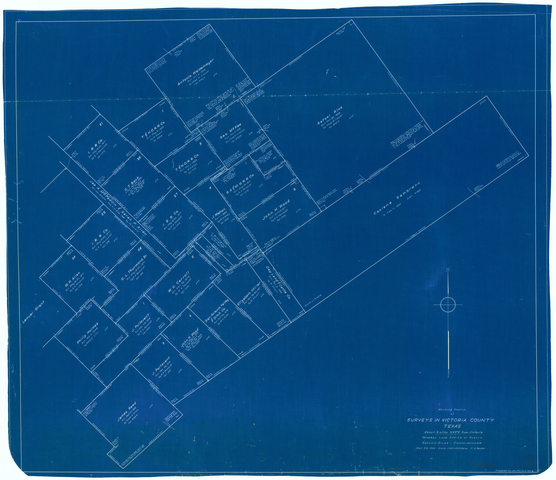
Victoria County Working Sketch 5
-
Map/Doc
72275
-
Collection
General Map Collection
-
Object Dates
3/28/1944 (Creation Date)
-
People and Organizations
F.H. Becker (Draftsman)
-
Counties
Victoria
-
Subjects
Surveying Working Sketch
-
Height x Width
35.2 x 40.8 inches
89.4 x 103.6 cm
-
Scale
1" = 500 varas
Part of: General Map Collection
Presidio County Sketch File 16

Print $20.00
- Digital $50.00
Presidio County Sketch File 16
1884
Size 31.2 x 31.6 inches
Map/Doc 10578
Flight Mission No. DAH-17M, Frame 67, Orange County

Print $20.00
- Digital $50.00
Flight Mission No. DAH-17M, Frame 67, Orange County
1953
Size 18.5 x 22.3 inches
Map/Doc 86901
Howard County Working Sketch 12

Print $20.00
- Digital $50.00
Howard County Working Sketch 12
1980
Size 39.2 x 37.0 inches
Map/Doc 66280
Leon County Working Sketch 26

Print $20.00
- Digital $50.00
Leon County Working Sketch 26
1969
Size 43.1 x 46.9 inches
Map/Doc 70425
Harris County Sketch File 67

Print $14.00
- Digital $50.00
Harris County Sketch File 67
1936
Size 11.4 x 8.9 inches
Map/Doc 25505
Flight Mission No. CRK-7P, Frame 79, Refugio County

Print $20.00
- Digital $50.00
Flight Mission No. CRK-7P, Frame 79, Refugio County
1956
Size 18.2 x 22.1 inches
Map/Doc 86950
Medina County Working Sketch 7

Print $20.00
- Digital $50.00
Medina County Working Sketch 7
1952
Size 26.3 x 28.5 inches
Map/Doc 70922
Brazoria County Working Sketch 13

Print $20.00
- Digital $50.00
Brazoria County Working Sketch 13
1936
Size 21.5 x 33.1 inches
Map/Doc 78194

Map of the country adjacent to the left bank of the Rio Grande below Matamoros

Print $20.00
- Digital $50.00
Map of the country adjacent to the left bank of the Rio Grande below Matamoros
1847
Size 18.3 x 27.3 inches
Map/Doc 72868
Flight Mission No. DCL-6C, Frame 65, Kenedy County

Print $20.00
- Digital $50.00
Flight Mission No. DCL-6C, Frame 65, Kenedy County
1943
Size 18.5 x 22.3 inches
Map/Doc 85907
Goliad County Working Sketch 5

Print $20.00
- Digital $50.00
Goliad County Working Sketch 5
1925
Size 39.9 x 36.5 inches
Map/Doc 63195
You may also like
Midland County Boundary File 5

Print $6.00
- Digital $50.00
Midland County Boundary File 5
Size 9.6 x 6.0 inches
Map/Doc 57195
Map of Comanche County

Print $20.00
- Digital $50.00
Map of Comanche County
1884
Size 20.9 x 26.5 inches
Map/Doc 3434
Atascosa County

Print $40.00
- Digital $50.00
Atascosa County
1894
Size 50.5 x 44.1 inches
Map/Doc 66706
Zapata County

Print $40.00
- Digital $50.00
Zapata County
1935
Size 55.8 x 41.1 inches
Map/Doc 77467
Regni Mexicani seu Novae Hispaniae, Ludovicianae, N. Angliae, Carolinae, Virginiae, et Pennsylvaniae

Print $20.00
- Digital $50.00
Regni Mexicani seu Novae Hispaniae, Ludovicianae, N. Angliae, Carolinae, Virginiae, et Pennsylvaniae
1720
Size 22.5 x 26.5 inches
Map/Doc 93408
Calhoun County Rolled Sketch 11

Print $3.00
- Digital $50.00
Calhoun County Rolled Sketch 11
1942
Size 10.8 x 16.3 inches
Map/Doc 5464
Texas Intracoastal Waterway, Aransas Bay to Aransas Pass

Print $20.00
- Digital $50.00
Texas Intracoastal Waterway, Aransas Bay to Aransas Pass
1962
Size 38.7 x 26.8 inches
Map/Doc 73439
San Patricio County Working Sketch 8

Print $20.00
- Digital $50.00
San Patricio County Working Sketch 8
1936
Size 26.9 x 21.5 inches
Map/Doc 63770
[Hood, Rusk, Atascosa, Blanco, and Crosby County School Lands]
![91119, [Hood, Rusk, Atascosa, Blanco, and Crosby County School Lands], Twichell Survey Records](https://historictexasmaps.com/wmedia_w700/maps/91119-1.tif.jpg)
Print $20.00
- Digital $50.00
[Hood, Rusk, Atascosa, Blanco, and Crosby County School Lands]
Size 10.3 x 22.1 inches
Map/Doc 91119

Houston and Great Northern Railroad Company [North of the 80 mile T. & P. Reserve]
![90895, Houston and Great Northern Railroad Company [North of the 80 mile T. & P. Reserve], Twichell Survey Records](https://historictexasmaps.com/wmedia_w700/maps/90895-1.tif.jpg)
Print $20.00
- Digital $50.00
Houston and Great Northern Railroad Company [North of the 80 mile T. & P. Reserve]
1900
Size 15.6 x 15.8 inches
Map/Doc 90895
Map of Irion County

Print $20.00
- Digital $50.00
Map of Irion County
1893
Size 43.6 x 37.3 inches
Map/Doc 16857