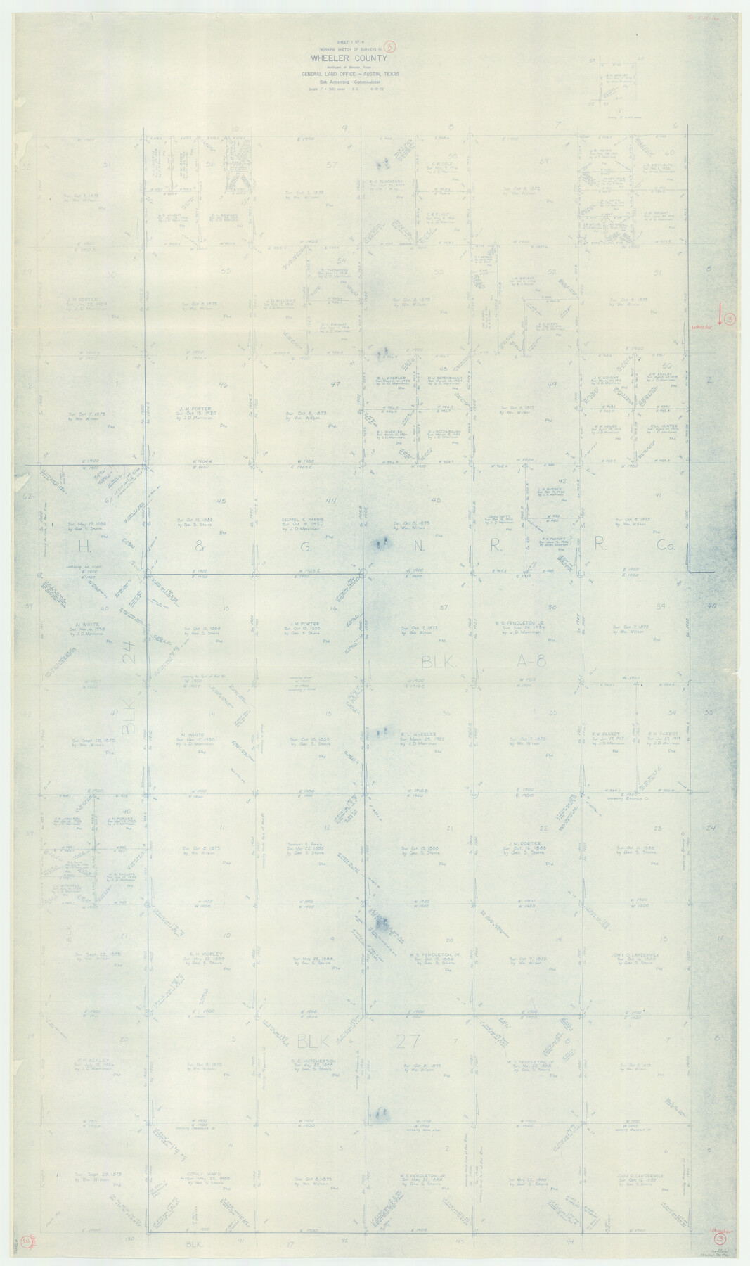
Wheeler County Working Sketch 3
-
Map/Doc
72492
-
Collection
General Map Collection
-
Object Dates
6/18/1972 (Creation Date)
-
People and Organizations
Beverly Christian (Draftsman)
-
Counties
Wheeler
-
Subjects
Surveying Working Sketch
-
Height x Width
73.8 x 43.7 inches
187.5 x 111.0 cm
-
Scale
1" = 300 varas
Part of: General Map Collection
Controlled Mosaic by Jack Amman Photogrammetric Engineers, Inc - Sheet 6

Print $20.00
- Digital $50.00
Controlled Mosaic by Jack Amman Photogrammetric Engineers, Inc - Sheet 6
1954
Size 20.0 x 24.0 inches
Map/Doc 83450
Hunt County Sketch File 5

Print $4.00
- Digital $50.00
Hunt County Sketch File 5
1851
Size 12.9 x 8.2 inches
Map/Doc 27091
Wise County Rolled Sketch 5

Print $20.00
- Digital $50.00
Wise County Rolled Sketch 5
Size 19.4 x 21.4 inches
Map/Doc 8271
Rockwall County Sketch File 7

Print $4.00
Rockwall County Sketch File 7
1873
Size 12.6 x 8.3 inches
Map/Doc 35427
Travis County Sketch File 59

Print $28.00
- Digital $50.00
Travis County Sketch File 59
Size 14.4 x 9.0 inches
Map/Doc 38413
Nueces County Sketch File 3

Print $40.00
- Digital $50.00
Nueces County Sketch File 3
1847
Size 12.5 x 15.1 inches
Map/Doc 32503
Aransas County Rolled Sketch 16

Print $40.00
- Digital $50.00
Aransas County Rolled Sketch 16
1965
Size 44.1 x 92.5 inches
Map/Doc 8412
Randall County Rolled Sketch 8

Print $20.00
- Digital $50.00
Randall County Rolled Sketch 8
1975
Size 33.7 x 43.7 inches
Map/Doc 10620
Brewster County Rolled Sketch 153

Print $20.00
- Digital $50.00
Brewster County Rolled Sketch 153
Size 32.4 x 19.2 inches
Map/Doc 5320
Kleberg County Rolled Sketch 10-15

Print $20.00
- Digital $50.00
Kleberg County Rolled Sketch 10-15
1951
Size 37.4 x 33.1 inches
Map/Doc 9367
Map of Presidio County

Print $20.00
- Digital $50.00
Map of Presidio County
1895
Size 47.7 x 38.5 inches
Map/Doc 66987
Hudspeth County Working Sketch 13

Print $40.00
- Digital $50.00
Hudspeth County Working Sketch 13
1952
Size 34.3 x 51.4 inches
Map/Doc 66295
You may also like
Flight Mission No. DAH-9M, Frame 156, Orange County

Print $20.00
- Digital $50.00
Flight Mission No. DAH-9M, Frame 156, Orange County
1953
Size 18.6 x 22.4 inches
Map/Doc 86855
Galveston County Rolled Sketch 11

Print $40.00
- Digital $50.00
Galveston County Rolled Sketch 11
1928
Size 29.7 x 169.5 inches
Map/Doc 9089

[Sketch for Mineral Applications 26885-6 - Reagan and Crockett Cos., W. H. Bland]
![2854, [Sketch for Mineral Applications 26885-6 - Reagan and Crockett Cos., W. H. Bland], General Map Collection](https://historictexasmaps.com/wmedia_w700/maps/2854.tif.jpg)
Print $20.00
- Digital $50.00
[Sketch for Mineral Applications 26885-6 - Reagan and Crockett Cos., W. H. Bland]
1932
Size 41.5 x 36.6 inches
Map/Doc 2854
Coke County Rolled Sketch 20

Print $20.00
- Digital $50.00
Coke County Rolled Sketch 20
1954
Size 16.0 x 30.5 inches
Map/Doc 5521
Hudspeth County Rolled Sketch 69

Print $20.00
- Digital $50.00
Hudspeth County Rolled Sketch 69
1973
Size 12.3 x 19.2 inches
Map/Doc 7718
San Jacinto County Working Sketch 43

Print $20.00
- Digital $50.00
San Jacinto County Working Sketch 43
1981
Size 36.4 x 45.5 inches
Map/Doc 63757
El Paso County Boundary File 17

Print $8.00
- Digital $50.00
El Paso County Boundary File 17
Size 13.4 x 8.4 inches
Map/Doc 53192
A Topographical Map of the Government Tract Adjoining the City of Austin

Print $20.00
- Digital $50.00
A Topographical Map of the Government Tract Adjoining the City of Austin
1840
Size 41.8 x 37.5 inches
Map/Doc 4833
Flight Mission No. DQN-4K, Frame 2, Calhoun County

Print $20.00
- Digital $50.00
Flight Mission No. DQN-4K, Frame 2, Calhoun County
1953
Size 18.6 x 22.2 inches
Map/Doc 84367
Denton County Working Sketch 23

Print $20.00
- Digital $50.00
Denton County Working Sketch 23
1982
Size 18.6 x 14.1 inches
Map/Doc 68628
Map of Colorado County

Print $20.00
- Digital $50.00
Map of Colorado County
1864
Size 22.1 x 25.0 inches
Map/Doc 3423