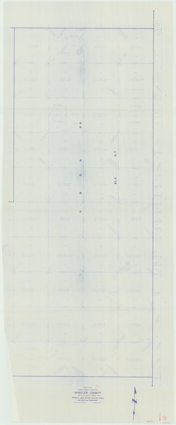
Wheeler County Working Sketch 9
-
Map/Doc
72498
-
Collection
General Map Collection
-
Object Dates
6/20/1973 (Creation Date)
-
People and Organizations
Elbert Menzel (Draftsman)
-
Counties
Wheeler
-
Subjects
Surveying Working Sketch
-
Height x Width
77.6 x 32.1 inches
197.1 x 81.5 cm
-
Scale
1" = 300 varas
Part of: General Map Collection
Grayson County Working Sketch 12

Print $20.00
- Digital $50.00
Grayson County Working Sketch 12
1951
Size 25.7 x 24.0 inches
Map/Doc 63251

Lynn County Working Sketch 1

Print $20.00
- Digital $50.00
Lynn County Working Sketch 1
1945
Size 17.2 x 14.0 inches
Map/Doc 70671
Karnes County Sketch File 11

Print $4.00
- Digital $50.00
Karnes County Sketch File 11
1885
Size 10.5 x 8.1 inches
Map/Doc 28602
Fannin County Working Sketch 3

Print $20.00
- Digital $50.00
Fannin County Working Sketch 3
1925
Size 22.2 x 30.0 inches
Map/Doc 69157
Coryell County Working Sketch 28

Print $20.00
- Digital $50.00
Coryell County Working Sketch 28
1990
Size 27.5 x 21.3 inches
Map/Doc 68235
Eastland County Boundary File 26a

Print $32.00
- Digital $50.00
Eastland County Boundary File 26a
Size 12.7 x 8.1 inches
Map/Doc 52813
Map of McClennan County

Print $20.00
- Digital $50.00
Map of McClennan County
1868
Size 22.8 x 25.4 inches
Map/Doc 3861
Old Miscellaneous File 32

Print $4.00
- Digital $50.00
Old Miscellaneous File 32
1854
Size 11.0 x 8.6 inches
Map/Doc 75751
Fractional Township No. 8 South Range No. 18 East of the Indian Meridian, Indian Territory

Print $20.00
- Digital $50.00
Fractional Township No. 8 South Range No. 18 East of the Indian Meridian, Indian Territory
1897
Size 19.2 x 24.3 inches
Map/Doc 75233
Matagorda County Sketch File 12

Print $2.00
- Digital $50.00
Matagorda County Sketch File 12
Size 8.4 x 7.0 inches
Map/Doc 30771
Nueces County Rolled Sketch 124

Print $20.00
- Digital $50.00
Nueces County Rolled Sketch 124
1997
Size 23.7 x 36.8 inches
Map/Doc 7159
You may also like
Flight Mission No. DQN-2K, Frame 115, Calhoun County

Print $20.00
- Digital $50.00
Flight Mission No. DQN-2K, Frame 115, Calhoun County
1953
Size 18.6 x 22.3 inches
Map/Doc 84291
Brazoria County Working Sketch 36

Print $40.00
- Digital $50.00
Brazoria County Working Sketch 36
1981
Size 43.4 x 71.4 inches
Map/Doc 67521
Map of the United States, Canada and a part of Mexico to illustrate Olney's school geography

Print $20.00
- Digital $50.00
Map of the United States, Canada and a part of Mexico to illustrate Olney's school geography
1844
Size 12.1 x 19.0 inches
Map/Doc 93537
Hill County Working Sketch 5

Print $20.00
- Digital $50.00
Hill County Working Sketch 5
2008
Size 32.2 x 31.6 inches
Map/Doc 89013
Gulf Coast of the United States, Key West to Rio Grande

Print $20.00
- Digital $50.00
Gulf Coast of the United States, Key West to Rio Grande
1863
Size 27.5 x 18.3 inches
Map/Doc 72664
Galveston County NRC Article 33.136 Location Key Sheet

Print $20.00
- Digital $50.00
Galveston County NRC Article 33.136 Location Key Sheet
1995
Size 27.0 x 22.0 inches
Map/Doc 83592
Calhoun County Sketch File 11

Print $39.00
- Digital $50.00
Calhoun County Sketch File 11
1957
Size 11.4 x 8.9 inches
Map/Doc 35944
Armstrong County Rolled Sketch OS

Print $20.00
- Digital $50.00
Armstrong County Rolled Sketch OS
1902
Size 17.5 x 32.4 inches
Map/Doc 5086
Flight Mission No. CRC-4R, Frame 82, Chambers County

Print $20.00
- Digital $50.00
Flight Mission No. CRC-4R, Frame 82, Chambers County
1956
Size 18.7 x 22.6 inches
Map/Doc 84886
Origin of Imports and Destination of Exports at Galveston, Tex., during 1921

Print $20.00
- Digital $50.00
Origin of Imports and Destination of Exports at Galveston, Tex., during 1921
1921
Size 13.1 x 24.6 inches
Map/Doc 97169
San Bernard River, Texas showing possible connection with Brazos River and part of possible connection with Matagorda Bay for a Light Draft Navigation

Print $40.00
- Digital $50.00
San Bernard River, Texas showing possible connection with Brazos River and part of possible connection with Matagorda Bay for a Light Draft Navigation
Size 17.2 x 56.1 inches
Map/Doc 96561
Hardeman County Aerial Photograph Index Sheet 2

Print $20.00
- Digital $50.00
Hardeman County Aerial Photograph Index Sheet 2
1950
Size 20.3 x 16.9 inches
Map/Doc 83698