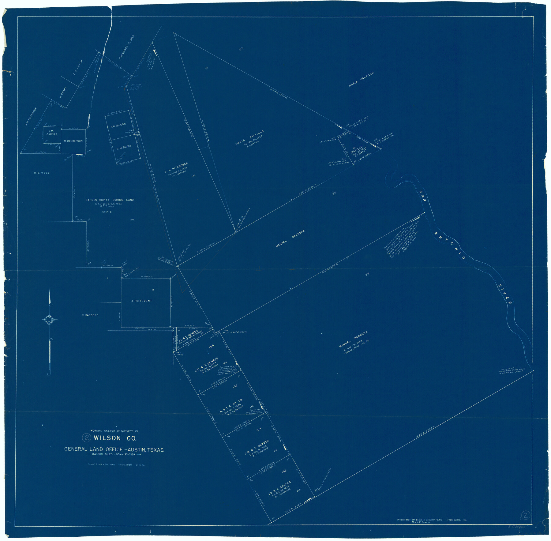
Wilson County Working Sketch 2
-
Map/Doc
72582
-
Collection
General Map Collection
-
Object Dates
5/6/1950 (Creation Date)
-
People and Organizations
Otto G. Kurio (Draftsman)
-
Counties
Wilson
-
Subjects
Surveying Working Sketch
-
Height x Width
42.0 x 42.8 inches
106.7 x 108.7 cm
-
Scale
1" = 500 varas
Part of: General Map Collection
Armstrong County Sketch File 4a

Print $4.00
- Digital $50.00
Armstrong County Sketch File 4a
1883
Size 14.3 x 8.9 inches
Map/Doc 13687
Sabine County

Print $20.00
- Digital $50.00
Sabine County
1920
Size 45.7 x 36.1 inches
Map/Doc 95631
Starr County Rolled Sketch 10

Print $20.00
- Digital $50.00
Starr County Rolled Sketch 10
1912
Size 15.2 x 24.0 inches
Map/Doc 7797
Supreme Court of the United States, October Term, 1923, No. 15, Original - The State of Oklahoma, Complainant vs. The State of Texas, Defendant, The United States, Intervener; Report of the Boundary Commissioners

Print $20.00
- Digital $50.00
Supreme Court of the United States, October Term, 1923, No. 15, Original - The State of Oklahoma, Complainant vs. The State of Texas, Defendant, The United States, Intervener; Report of the Boundary Commissioners
1923
Size 33.9 x 36.8 inches
Map/Doc 75134
Edwards County Sketch File 41

Print $20.00
- Digital $50.00
Edwards County Sketch File 41
Size 33.7 x 22.7 inches
Map/Doc 11439
Matagorda County Working Sketch 8

Print $20.00
- Digital $50.00
Matagorda County Working Sketch 8
1953
Size 22.3 x 29.0 inches
Map/Doc 70866
A new map for travellers through the United States of America showing the railroads, canals & stageroads with the distances

Print $20.00
- Digital $50.00
A new map for travellers through the United States of America showing the railroads, canals & stageroads with the distances
1846
Size 22.4 x 27.9 inches
Map/Doc 95921
Hudspeth County Rolled Sketch 23

Print $40.00
- Digital $50.00
Hudspeth County Rolled Sketch 23
Size 43.7 x 70.3 inches
Map/Doc 9207
Duval County Working Sketch 47

Print $20.00
- Digital $50.00
Duval County Working Sketch 47
1981
Size 20.8 x 30.9 inches
Map/Doc 68771
Presidio County Sketch File 33

Print $16.00
- Digital $50.00
Presidio County Sketch File 33
1890
Size 14.5 x 8.8 inches
Map/Doc 34476
Caldwell County Sketch File 3a

Print $4.00
- Digital $50.00
Caldwell County Sketch File 3a
1870
Size 10.1 x 8.1 inches
Map/Doc 35829
Burnet County Working Sketch 7

Print $20.00
- Digital $50.00
Burnet County Working Sketch 7
1960
Size 17.9 x 20.3 inches
Map/Doc 67850
You may also like
Jack County Boundary File 1

Print $26.00
- Digital $50.00
Jack County Boundary File 1
Size 12.9 x 8.2 inches
Map/Doc 55363
Natural Heritage of Texas

Print $40.00
- Digital $50.00
Natural Heritage of Texas
1986
Size 54.3 x 56.0 inches
Map/Doc 10786
Natural provinces : [Texas].
![93576, Natural provinces : [Texas]., Library of Congress](https://historictexasmaps.com/wmedia_w700/maps/93576.tif.jpg)
Print $20.00
Natural provinces : [Texas].
1899
Size 14.2 x 15.4 inches
Map/Doc 93576
Hardeman County Working Sketch 9

Print $20.00
- Digital $50.00
Hardeman County Working Sketch 9
1953
Size 44.4 x 27.2 inches
Map/Doc 63390
Knox County Sketch File 8

Print $26.00
- Digital $50.00
Knox County Sketch File 8
1882
Size 8.6 x 7.8 inches
Map/Doc 29218
University of Texas System University Lands

Print $20.00
- Digital $50.00
University of Texas System University Lands
1936
Size 23.2 x 17.6 inches
Map/Doc 93236
Travis County Sketch File 70

Print $26.00
- Digital $50.00
Travis County Sketch File 70
1961
Size 14.4 x 8.8 inches
Map/Doc 38453
Ochiltree County Sketch File 12

Print $24.00
- Digital $50.00
Ochiltree County Sketch File 12
1990
Size 11.2 x 8.5 inches
Map/Doc 33201
[Galveston, Harrisburg & San Antonio Railroad from Cuero to Stockdale]
![64193, [Galveston, Harrisburg & San Antonio Railroad from Cuero to Stockdale], General Map Collection](https://historictexasmaps.com/wmedia_w700/maps/64193.tif.jpg)
Print $20.00
- Digital $50.00
[Galveston, Harrisburg & San Antonio Railroad from Cuero to Stockdale]
1907
Size 13.7 x 34.0 inches
Map/Doc 64193
Texas Official Highway Travel Map

Texas Official Highway Travel Map
Size 27.4 x 36.3 inches
Map/Doc 94307
Jim Hogg County Rolled Sketch 4

Print $20.00
- Digital $50.00
Jim Hogg County Rolled Sketch 4
Size 17.0 x 30.5 inches
Map/Doc 6440
Hunt County Sketch File 36a

Print $6.00
- Digital $50.00
Hunt County Sketch File 36a
Size 10.5 x 11.5 inches
Map/Doc 27153