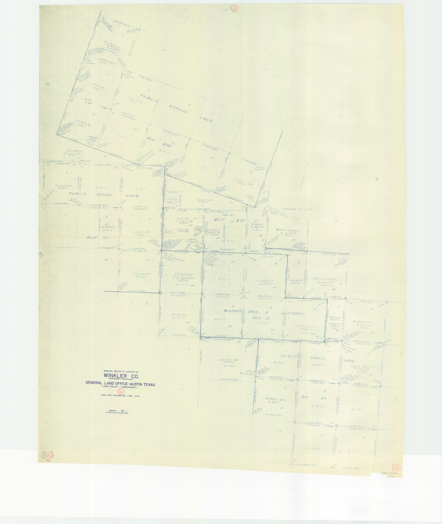
Winkler County Working Sketch 12
-
Map/Doc
72606
-
Collection
General Map Collection
-
Object Dates
3/1/1961 (Creation Date)
-
People and Organizations
Otto G. Kurio (Draftsman)
-
Counties
Winkler
-
Subjects
Surveying Working Sketch
-
Height x Width
59.3 x 50.0 inches
150.6 x 127.0 cm
-
Scale
1" = 400 varas
Part of: General Map Collection
Irion County Boundary File 3

Print $38.00
- Digital $50.00
Irion County Boundary File 3
Size 8.8 x 4.2 inches
Map/Doc 55339
Austin County Sketch File 14

Print $40.00
- Digital $50.00
Austin County Sketch File 14
Size 18.8 x 8.8 inches
Map/Doc 13880
Goliad County Sketch File 15

Print $4.00
- Digital $50.00
Goliad County Sketch File 15
1879
Size 8.1 x 14.9 inches
Map/Doc 24245
Pecos County Sketch File 66

Print $40.00
- Digital $50.00
Pecos County Sketch File 66
Size 14.3 x 16.2 inches
Map/Doc 33826
Brewster County Working Sketch 38

Print $20.00
- Digital $50.00
Brewster County Working Sketch 38
1944
Size 36.3 x 28.4 inches
Map/Doc 67572
Milam County Boundary File 65

Print $10.00
- Digital $50.00
Milam County Boundary File 65
Size 8.8 x 7.8 inches
Map/Doc 57251
Intracoastal Waterway in Texas - Corpus Christi to Point Isabel including Arroyo Colorado to Mo. Pac. R.R. Bridge Near Harlingen

Print $20.00
- Digital $50.00
Intracoastal Waterway in Texas - Corpus Christi to Point Isabel including Arroyo Colorado to Mo. Pac. R.R. Bridge Near Harlingen
1933
Size 40.6 x 28.0 inches
Map/Doc 61877
Flight Mission No. DQN-2K, Frame 89, Calhoun County

Print $20.00
- Digital $50.00
Flight Mission No. DQN-2K, Frame 89, Calhoun County
1953
Size 16.2 x 15.7 inches
Map/Doc 84279
Gaines County Rolled Sketch 27

Print $20.00
- Digital $50.00
Gaines County Rolled Sketch 27
1983
Size 35.6 x 41.8 inches
Map/Doc 9042
Eastland County Sketch File 2b

Print $6.00
- Digital $50.00
Eastland County Sketch File 2b
1857
Size 11.1 x 8.8 inches
Map/Doc 21563
Flight Mission No. BRE-2P, Frame 73, Nueces County

Print $20.00
- Digital $50.00
Flight Mission No. BRE-2P, Frame 73, Nueces County
1956
Size 18.5 x 22.5 inches
Map/Doc 86768
Lynn County Sketch File A

Print $2.00
- Digital $50.00
Lynn County Sketch File A
1905
Size 8.6 x 6.3 inches
Map/Doc 30477
You may also like
Presidio County Working Sketch 39

Print $20.00
- Digital $50.00
Presidio County Working Sketch 39
1948
Size 44.6 x 43.4 inches
Map/Doc 71716
Flight Mission No. DQN-2K, Frame 31, Calhoun County

Print $20.00
- Digital $50.00
Flight Mission No. DQN-2K, Frame 31, Calhoun County
1953
Size 18.7 x 22.3 inches
Map/Doc 84238
Deaf Smith County Rolled Sketch 2

Print $20.00
- Digital $50.00
Deaf Smith County Rolled Sketch 2
1976
Size 42.7 x 14.4 inches
Map/Doc 5699
[Right of Way & Track Map, The Texas & Pacific Ry. Co. Main Line]
![64684, [Right of Way & Track Map, The Texas & Pacific Ry. Co. Main Line], General Map Collection](https://historictexasmaps.com/wmedia_w700/maps/64684.tif.jpg)
Print $20.00
- Digital $50.00
[Right of Way & Track Map, The Texas & Pacific Ry. Co. Main Line]
Size 11.0 x 19.0 inches
Map/Doc 64684
Uvalde County Working Sketch 43

Print $20.00
- Digital $50.00
Uvalde County Working Sketch 43
1978
Size 29.3 x 27.7 inches
Map/Doc 72113
Texas Gulf Coast Bay Index Map

Print $20.00
- Digital $50.00
Texas Gulf Coast Bay Index Map
Size 43.7 x 42.6 inches
Map/Doc 73599
[C. C. S. D. & R. G. N. G. RR. Co. Block G, Waxahachie Tap RR. Co. Block G and D. & W. RR. Co. Block H]
![90859, [C. C. S. D. & R. G. N. G. RR. Co. Block G, Waxahachie Tap RR. Co. Block G and D. & W. RR. Co. Block H], Twichell Survey Records](https://historictexasmaps.com/wmedia_w700/maps/90859-2.tif.jpg)
Print $20.00
- Digital $50.00
[C. C. S. D. & R. G. N. G. RR. Co. Block G, Waxahachie Tap RR. Co. Block G and D. & W. RR. Co. Block H]
1915
Size 22.6 x 11.4 inches
Map/Doc 90859
Township No. 4 South Range No. 16 West of the Indian Meridian

Print $20.00
- Digital $50.00
Township No. 4 South Range No. 16 West of the Indian Meridian
1875
Size 19.4 x 24.4 inches
Map/Doc 75165
Stephens County Texas

Print $20.00
- Digital $50.00
Stephens County Texas
Size 20.8 x 18.6 inches
Map/Doc 4627
Parker County Sketch File 11

Print $4.00
- Digital $50.00
Parker County Sketch File 11
1859
Size 12.8 x 8.1 inches
Map/Doc 33542
Armstrong County Rolled Sketch B

Print $20.00
- Digital $50.00
Armstrong County Rolled Sketch B
1903
Size 25.9 x 37.0 inches
Map/Doc 5084
Pecos County Rolled Sketch 131

Print $20.00
- Digital $50.00
Pecos County Rolled Sketch 131
1950
Size 28.6 x 26.4 inches
Map/Doc 7269