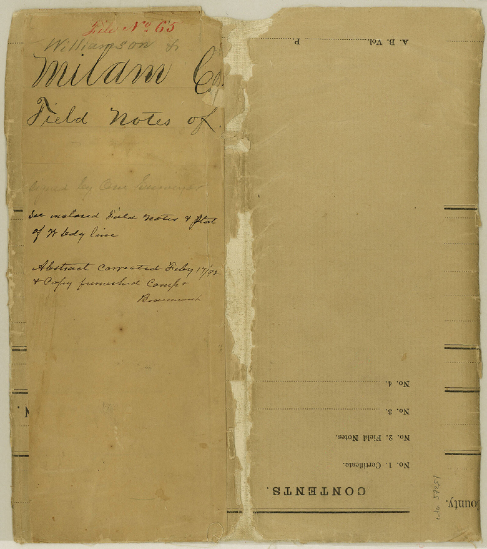
Milam County Boundary File 65
Milam and Williamson Co. boundary
-
Map/Doc
57251
-
Collection
General Map Collection
-
Counties
Milam
-
Subjects
County Boundaries
-
Height x Width
8.8 x 7.8 inches
22.4 x 19.8 cm
Part of: General Map Collection
Starr County Sketch File 30B

Print $12.00
- Digital $50.00
Starr County Sketch File 30B
1935
Size 9.3 x 9.1 inches
Map/Doc 36954
Hockley County Working Sketch 1

Print $40.00
- Digital $50.00
Hockley County Working Sketch 1
1946
Size 26.0 x 60.9 inches
Map/Doc 66191
PSL Field Notes for Blocks B14 and B16 in Crane and Ector Counties, Blocks B18 and B20 in Crane and Ward Counties, and Blocks B17, B21, B22, B23, B24, B25, and B26 in Crane County

PSL Field Notes for Blocks B14 and B16 in Crane and Ector Counties, Blocks B18 and B20 in Crane and Ward Counties, and Blocks B17, B21, B22, B23, B24, B25, and B26 in Crane County
Map/Doc 81646
Bee County Sketch File 34

Print $14.00
Bee County Sketch File 34
2022
Size 11.0 x 8.5 inches
Map/Doc 97030
Leon County Working Sketch 17

Print $20.00
- Digital $50.00
Leon County Working Sketch 17
1959
Size 30.8 x 30.5 inches
Map/Doc 70416
Plot of land tracts situated in Austin Co. west of Mill Creek opposite and above the fork of the same

Print $2.00
- Digital $50.00
Plot of land tracts situated in Austin Co. west of Mill Creek opposite and above the fork of the same
1845
Size 7.7 x 8.1 inches
Map/Doc 224
Kleberg County Rolled Sketch 10-40

Print $20.00
- Digital $50.00
Kleberg County Rolled Sketch 10-40
1952
Size 38.1 x 34.0 inches
Map/Doc 9392
Wharton County Working Sketch 5

Print $20.00
- Digital $50.00
Wharton County Working Sketch 5
Size 20.2 x 15.6 inches
Map/Doc 72469
Tom Green County Sketch File 60

Print $20.00
- Digital $50.00
Tom Green County Sketch File 60
1888
Size 28.4 x 25.9 inches
Map/Doc 12444
[Sketch of Col. Cooke's Military Road expedition from Red River to Austin]
![82272, [Sketch of Col. Cooke's Military Road expedition from Red River to Austin], General Map Collection](https://historictexasmaps.com/wmedia_w700/maps/82272-1.tif.jpg)
Print $40.00
- Digital $50.00
[Sketch of Col. Cooke's Military Road expedition from Red River to Austin]
Size 61.0 x 24.1 inches
Map/Doc 82272
Matagorda County Sketch File 46

Print $107.00
- Digital $50.00
Matagorda County Sketch File 46
1985
Size 11.2 x 8.5 inches
Map/Doc 30932

You may also like
Sherman County Rolled Sketch 12

Print $40.00
- Digital $50.00
Sherman County Rolled Sketch 12
1951
Size 63.9 x 11.3 inches
Map/Doc 10611
Flight Mission No. CRC-3R, Frame 93, Chambers County

Print $20.00
- Digital $50.00
Flight Mission No. CRC-3R, Frame 93, Chambers County
1956
Size 18.5 x 22.5 inches
Map/Doc 84831
Presidio County Working Sketch 150

Print $20.00
- Digital $50.00
Presidio County Working Sketch 150
2002
Size 24.0 x 23.5 inches
Map/Doc 93490
Flight Mission No. CRC-2R, Frame 53, Chambers County

Print $20.00
- Digital $50.00
Flight Mission No. CRC-2R, Frame 53, Chambers County
1956
Size 18.5 x 22.4 inches
Map/Doc 84726
Tyler County Rolled Sketch 5

Print $20.00
- Digital $50.00
Tyler County Rolled Sketch 5
1954
Size 29.3 x 40.0 inches
Map/Doc 8057
Hockley County Sketch File 19b

Print $28.00
- Digital $50.00
Hockley County Sketch File 19b
Size 11.3 x 8.8 inches
Map/Doc 26555
Military Map of Southwestern Texas

Print $20.00
Military Map of Southwestern Texas
1881
Size 24.3 x 38.4 inches
Map/Doc 76316
Hutchinson County Rolled Sketch 40

Print $20.00
- Digital $50.00
Hutchinson County Rolled Sketch 40
1981
Size 26.0 x 37.5 inches
Map/Doc 6302
Hemphill County Rolled Sketch 16

Print $40.00
- Digital $50.00
Hemphill County Rolled Sketch 16
1961
Size 65.4 x 26.9 inches
Map/Doc 9156
Upton County Sketch File 42

Print $3.00
- Digital $50.00
Upton County Sketch File 42
1986
Size 10.9 x 17.0 inches
Map/Doc 38919
Henderson County Working Sketch 37

Print $20.00
- Digital $50.00
Henderson County Working Sketch 37
1982
Size 29.4 x 22.0 inches
Map/Doc 66170
Land Titles Issued in Stephen F. Austin's Colony

Print $20.00
Land Titles Issued in Stephen F. Austin's Colony
2015
Size 30.0 x 24.0 inches
Map/Doc 93754