[Corpus Christi Bay, Padre Island, Mustang Island, Laguna de la Madre, King and Kenedy's Pasture]
RL-4-12
-
Map/Doc
73046
-
Collection
General Map Collection
-
Subjects
Gulf of Mexico
-
Height x Width
26.4 x 18.2 inches
67.1 x 46.2 cm
-
Comments
B/W photostat copy from National Archives in multiple pieces.
Part of: General Map Collection
El Paso County Rolled Sketch 37
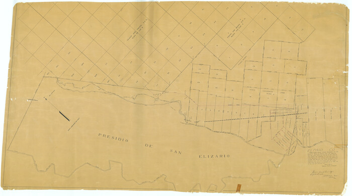

Print $40.00
- Digital $50.00
El Paso County Rolled Sketch 37
1916
Size 42.8 x 77.0 inches
Map/Doc 76181
Lampasas County Sketch File 4


Print $4.00
- Digital $50.00
Lampasas County Sketch File 4
1861
Size 12.3 x 8.2 inches
Map/Doc 29394
Pecos County Working Sketch 70
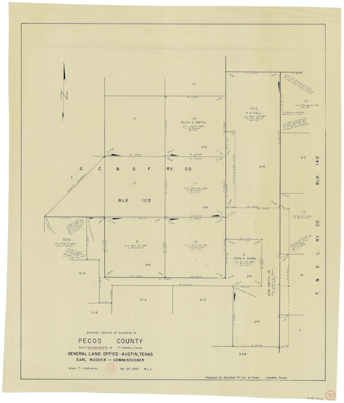

Print $20.00
- Digital $50.00
Pecos County Working Sketch 70
1957
Size 31.4 x 27.0 inches
Map/Doc 71542
Bee County Working Sketch 2
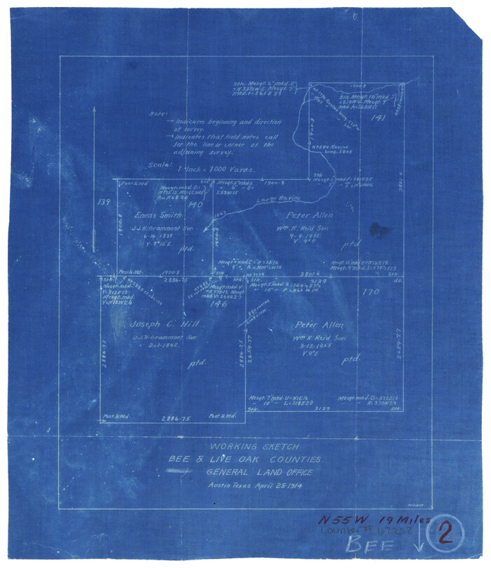

Print $3.00
- Digital $50.00
Bee County Working Sketch 2
1914
Size 11.0 x 9.6 inches
Map/Doc 67252
Henderson County Rolled Sketch 1
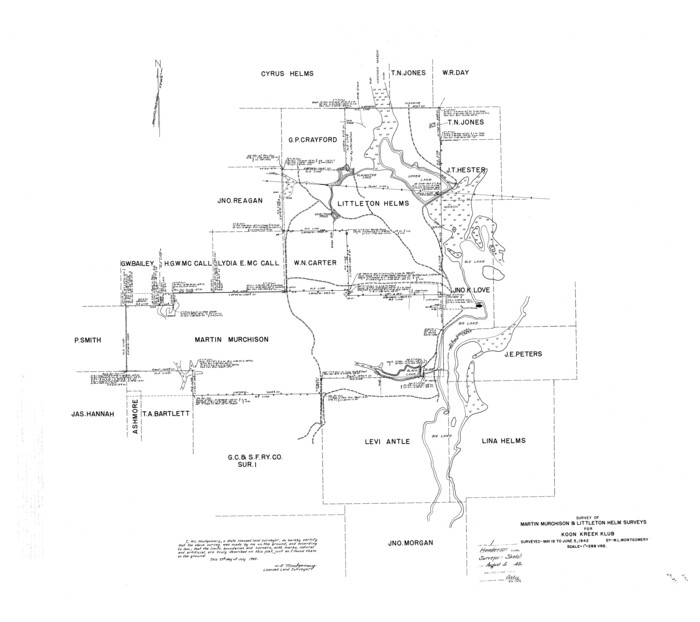

Print $20.00
- Digital $50.00
Henderson County Rolled Sketch 1
1942
Size 34.0 x 38.3 inches
Map/Doc 9159
Jeff Davis County Working Sketch 37
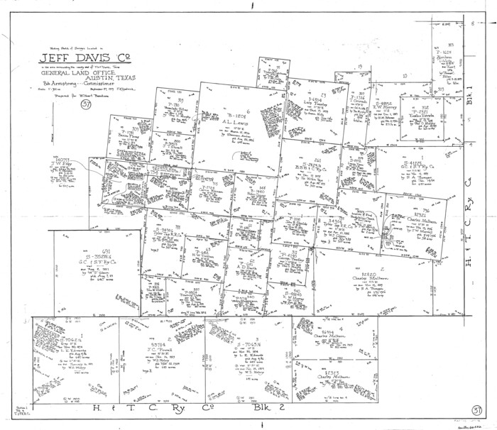

Print $20.00
- Digital $50.00
Jeff Davis County Working Sketch 37
1979
Size 31.6 x 36.6 inches
Map/Doc 66532
Lampasas County Working Sketch 20
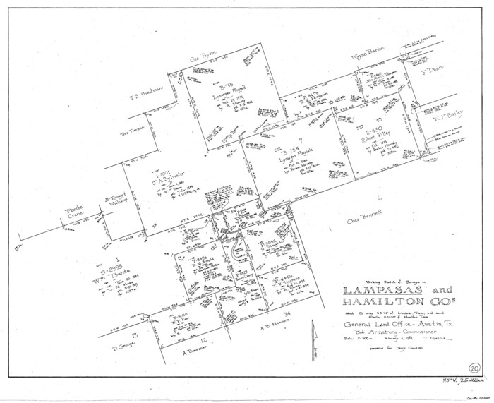

Print $20.00
- Digital $50.00
Lampasas County Working Sketch 20
1981
Size 26.0 x 31.9 inches
Map/Doc 70297
Travis County Working Sketch 36


Print $20.00
- Digital $50.00
Travis County Working Sketch 36
1967
Size 23.4 x 30.8 inches
Map/Doc 69420
Harris County Working Sketch 12
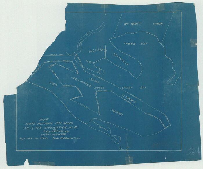

Print $20.00
- Digital $50.00
Harris County Working Sketch 12
1913
Size 17.7 x 21.3 inches
Map/Doc 65904
Bee County Working Sketch 14


Print $20.00
- Digital $50.00
Bee County Working Sketch 14
1948
Size 22.2 x 17.7 inches
Map/Doc 67264
Trinity County Sketch File 12
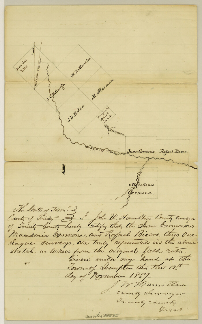

Print $4.00
- Digital $50.00
Trinity County Sketch File 12
1857
Size 12.8 x 8.0 inches
Map/Doc 38535
Grayson County


Print $20.00
- Digital $50.00
Grayson County
1935
Size 42.4 x 39.5 inches
Map/Doc 73162
You may also like
Cooke County Rolled Sketch 3
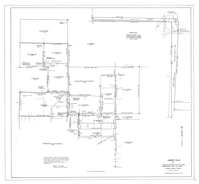

Print $20.00
- Digital $50.00
Cooke County Rolled Sketch 3
1944
Size 37.1 x 40.2 inches
Map/Doc 8670
Brewster County Working Sketch 117
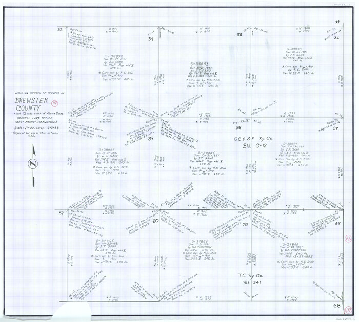

Print $20.00
- Digital $50.00
Brewster County Working Sketch 117
1988
Size 33.3 x 37.0 inches
Map/Doc 67717
Montague County Working Sketch 45
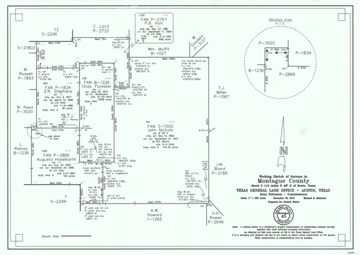

Print $20.00
- Digital $50.00
Montague County Working Sketch 45
2013
Size 17.0 x 24.0 inches
Map/Doc 93649
Oklahoma and Indian Territory Along the Frisco


Oklahoma and Indian Territory Along the Frisco
1905
Map/Doc 96771
Texas and Pacific Railway and its connections.
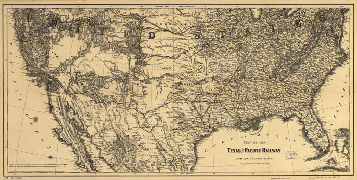

Print $20.00
Texas and Pacific Railway and its connections.
1876
Size 17.3 x 34.3 inches
Map/Doc 93601
Zavala County Working Sketch 22
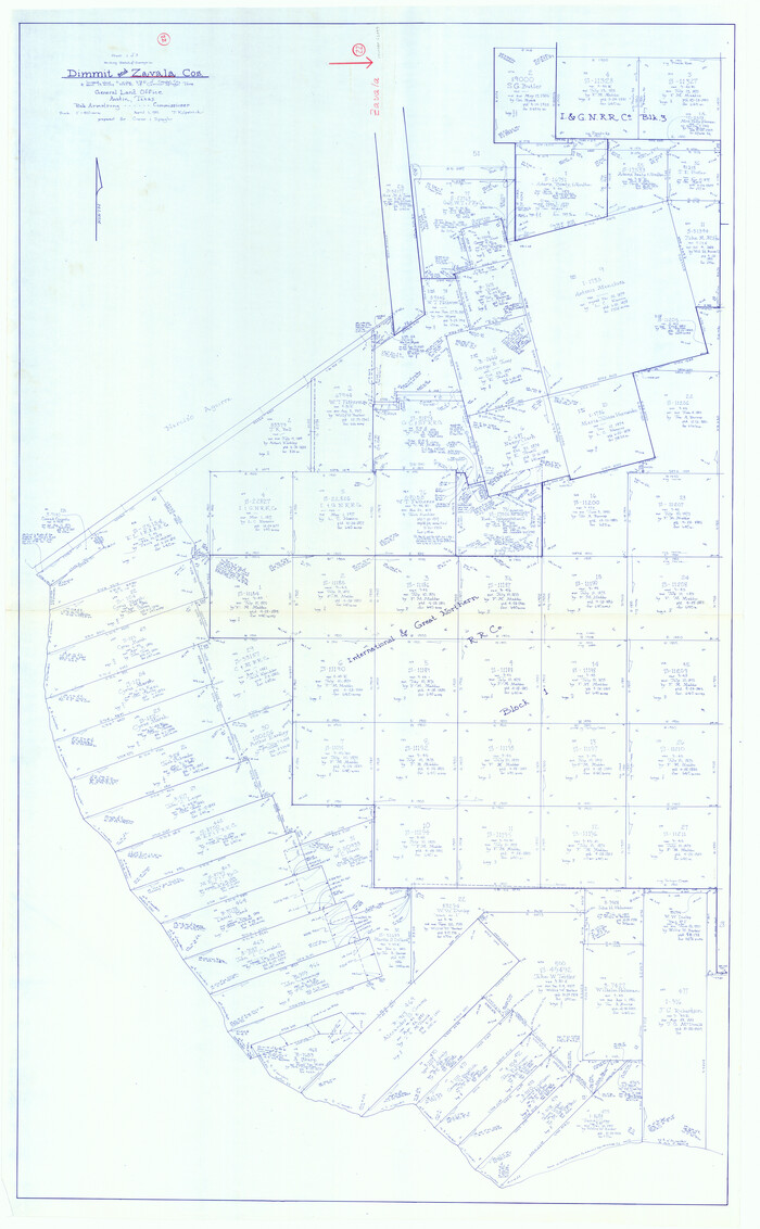

Print $40.00
- Digital $50.00
Zavala County Working Sketch 22
1980
Size 70.4 x 43.5 inches
Map/Doc 62097
Jones County Working Sketch 8


Print $20.00
- Digital $50.00
Jones County Working Sketch 8
1979
Size 25.3 x 20.9 inches
Map/Doc 66646
Plat Showing Block Z, W. D. and F. W. Johnson Subdivision, Bailey County, Texas
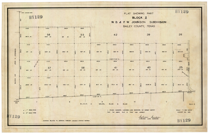

Print $20.00
- Digital $50.00
Plat Showing Block Z, W. D. and F. W. Johnson Subdivision, Bailey County, Texas
1955
Size 24.3 x 15.7 inches
Map/Doc 92538
Kimble County Sketch File 5


Print $4.00
- Digital $50.00
Kimble County Sketch File 5
1858
Size 7.9 x 5.5 inches
Map/Doc 28916
[Sketch showing surveys 9, 10, 15, 65 and 96]
![91759, [Sketch showing surveys 9, 10, 15, 65 and 96], Twichell Survey Records](https://historictexasmaps.com/wmedia_w700/maps/91759-1.tif.jpg)
![91759, [Sketch showing surveys 9, 10, 15, 65 and 96], Twichell Survey Records](https://historictexasmaps.com/wmedia_w700/maps/91759-1.tif.jpg)
Print $20.00
- Digital $50.00
[Sketch showing surveys 9, 10, 15, 65 and 96]
1919
Size 17.9 x 17.1 inches
Map/Doc 91759
Correct Map of the Railway and Steamship Lines operated by the Southern Pacific Company
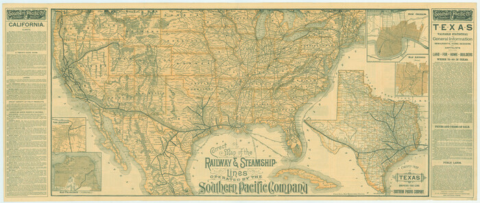

Print $20.00
Correct Map of the Railway and Steamship Lines operated by the Southern Pacific Company
1894
Size 17.1 x 40.1 inches
Map/Doc 79322
Fractional Township No. 7 South Range No 3 West of the Indian Meridian, Indian Territory
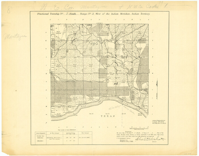

Print $20.00
- Digital $50.00
Fractional Township No. 7 South Range No 3 West of the Indian Meridian, Indian Territory
1898
Size 19.2 x 24.5 inches
Map/Doc 75193
![73046, [Corpus Christi Bay, Padre Island, Mustang Island, Laguna de la Madre, King and Kenedy's Pasture], General Map Collection](https://historictexasmaps.com/wmedia_w1800h1800/maps/73046.tif.jpg)