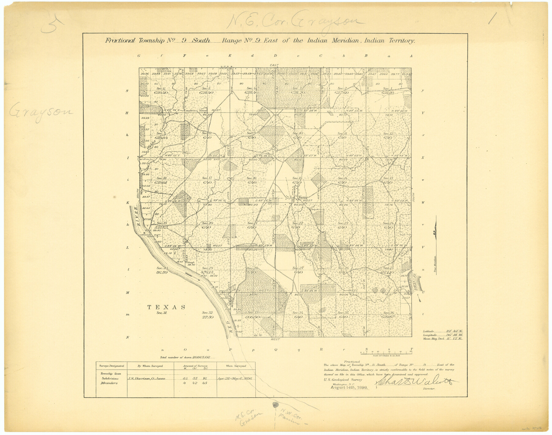
Fractional Township No. 9 South Range No. 9 East of the Indian Meridian, Indian Territory
-
Map/Doc
75216
-
Collection
General Map Collection
-
Object Dates
1898/5/6 (Creation Date)
-
Subjects
Texas Boundaries
-
Height x Width
19.2 x 24.4 inches
48.8 x 62.0 cm
Part of: General Map Collection
Map of Potter County

Print $20.00
- Digital $50.00
Map of Potter County
1895
Size 23.6 x 18.4 inches
Map/Doc 4617
Refugio County Sketch File 8b

Print $4.00
- Digital $50.00
Refugio County Sketch File 8b
1876
Size 8.5 x 10.5 inches
Map/Doc 35254
Flight Mission No. BRA-9M, Frame 62, Jefferson County

Print $20.00
- Digital $50.00
Flight Mission No. BRA-9M, Frame 62, Jefferson County
1953
Size 18.7 x 22.3 inches
Map/Doc 85645
Flight Mission No. DCL-5C, Frame 3, Kenedy County

Print $20.00
- Digital $50.00
Flight Mission No. DCL-5C, Frame 3, Kenedy County
1943
Size 18.4 x 22.2 inches
Map/Doc 85828
Dawson County Rolled Sketch 7
Print $20.00
- Digital $50.00
Dawson County Rolled Sketch 7
Size 14.1 x 38.1 inches
Map/Doc 5693
United States - Gulf Coast - Aransas Pass and Corpus Christi Bay with the coast to latitude 27° 12' Texas

Print $20.00
- Digital $50.00
United States - Gulf Coast - Aransas Pass and Corpus Christi Bay with the coast to latitude 27° 12' Texas
1913
Size 27.6 x 18.2 inches
Map/Doc 72793
Castro County Sketch File 7

Print $10.00
- Digital $50.00
Castro County Sketch File 7
1905
Size 10.9 x 8.0 inches
Map/Doc 17495
[Sketch of surveys in the Bexar District along the Pedernales River]
![103, [Sketch of surveys in the Bexar District along the Pedernales River], General Map Collection](https://historictexasmaps.com/wmedia_w700/maps/103-1.tif.jpg)
Print $2.00
- Digital $50.00
[Sketch of surveys in the Bexar District along the Pedernales River]
1847
Size 13.6 x 8.3 inches
Map/Doc 103
Tarrant County Sketch File 22

Print $9.00
- Digital $50.00
Tarrant County Sketch File 22
1860
Size 10.3 x 8.9 inches
Map/Doc 37729
[FT. W. & R. G. Ry. Right of Way Map, Winchell to Brady, McCulloch County, Texas]
![61414, [FT. W. & R. G. Ry. Right of Way Map, Winchell to Brady, McCulloch County, Texas], General Map Collection](https://historictexasmaps.com/wmedia_w700/maps/61414.tif.jpg)
Print $40.00
- Digital $50.00
[FT. W. & R. G. Ry. Right of Way Map, Winchell to Brady, McCulloch County, Texas]
1918
Size 38.2 x 122.0 inches
Map/Doc 61414
Map and Profile of the Denison and Pacific Railway from Denison to Whitesboro

Print $40.00
- Digital $50.00
Map and Profile of the Denison and Pacific Railway from Denison to Whitesboro
1878
Size 42.5 x 57.5 inches
Map/Doc 64284
[Right of Way and Track Map, the Missouri, Kansas and Texas Ry. of Texas - Henrietta Division]
![64766, [Right of Way and Track Map, the Missouri, Kansas and Texas Ry. of Texas - Henrietta Division], General Map Collection](https://historictexasmaps.com/wmedia_w700/maps/64766.tif.jpg)
Print $20.00
- Digital $50.00
[Right of Way and Track Map, the Missouri, Kansas and Texas Ry. of Texas - Henrietta Division]
1918
Size 11.8 x 26.9 inches
Map/Doc 64766
You may also like
Limestone County Working Sketch 26

Print $20.00
- Digital $50.00
Limestone County Working Sketch 26
1982
Size 39.6 x 44.1 inches
Map/Doc 70576
Nautical Chart 892-SC - Intracoastal Waterway - Carlos Bay to Redfish Bay including Copano Bay, Texas

Print $20.00
- Digital $50.00
Nautical Chart 892-SC - Intracoastal Waterway - Carlos Bay to Redfish Bay including Copano Bay, Texas
1972
Size 16.0 x 18.7 inches
Map/Doc 75912
Wellman Situated on Parts of the Northeast 1/4 and Northwest 1/4 Section 17, Block DD

Print $20.00
- Digital $50.00
Wellman Situated on Parts of the Northeast 1/4 and Northwest 1/4 Section 17, Block DD
Size 22.2 x 18.9 inches
Map/Doc 92930
[Index map of T. & P. Ry. Company’s 80-mile Trans-Pecos Reserve’s perpetuated corners - North Part]
![89622, [Index map of T. & P. Ry. Company’s 80-mile Trans-Pecos Reserve’s perpetuated corners - North Part], General Map Collection](https://historictexasmaps.com/wmedia_w700/maps/89622-1.tif.jpg)
Print $40.00
- Digital $50.00
[Index map of T. & P. Ry. Company’s 80-mile Trans-Pecos Reserve’s perpetuated corners - North Part]
Size 25.4 x 92.1 inches
Map/Doc 89622
Baylor County Sketch File 27

Print $4.00
- Digital $50.00
Baylor County Sketch File 27
1895
Size 11.1 x 8.9 inches
Map/Doc 14226
Zapata County Boundary File 2

Print $12.00
- Digital $50.00
Zapata County Boundary File 2
Size 14.4 x 8.8 inches
Map/Doc 60228


[Sketch for Mineral Application 18874 - Pecos River Bed, W. J. Bonner]
![65584, [Sketch for Mineral Application 18874 - Pecos River Bed, W. J. Bonner], General Map Collection](https://historictexasmaps.com/wmedia_w700/maps/65584.tif.jpg)
Print $20.00
- Digital $50.00
[Sketch for Mineral Application 18874 - Pecos River Bed, W. J. Bonner]
1927
Size 37.5 x 31.6 inches
Map/Doc 65584
Guadalupe County Sketch File 7b

Print $4.00
- Digital $50.00
Guadalupe County Sketch File 7b
Size 7.3 x 10.9 inches
Map/Doc 24670
Matagorda County Rolled Sketch 34

Print $20.00
- Digital $50.00
Matagorda County Rolled Sketch 34
Size 25.4 x 40.5 inches
Map/Doc 6695
King County Sketch File 8

Print $46.00
- Digital $50.00
King County Sketch File 8
Size 8.8 x 8.9 inches
Map/Doc 29060