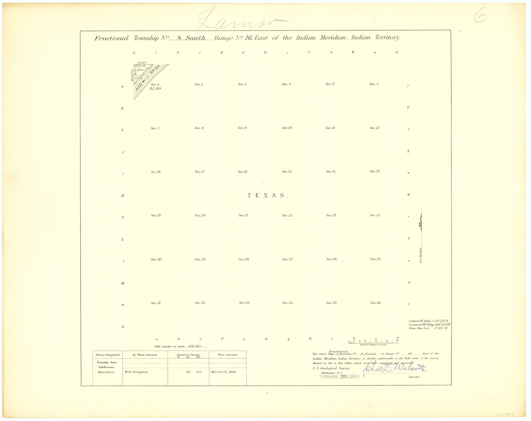
Fractional Township No. 8 South Range No. 16 East of the Indian Meridian, Indian Territory
-
Map/Doc
75228
-
Collection
General Map Collection
-
Object Dates
1896/3/13 (Creation Date)
-
Subjects
Texas Boundaries
-
Height x Width
19.3 x 24.3 inches
49.0 x 61.7 cm
Part of: General Map Collection
Haskell County Rolled Sketch 6

Print $20.00
- Digital $50.00
Haskell County Rolled Sketch 6
1940
Size 22.3 x 19.6 inches
Map/Doc 6166
Hudspeth County Working Sketch 22

Print $40.00
- Digital $50.00
Hudspeth County Working Sketch 22
1967
Size 45.8 x 62.8 inches
Map/Doc 66304
Taylor County Sketch File 4

Print $2.00
- Digital $50.00
Taylor County Sketch File 4
Size 7.2 x 9.8 inches
Map/Doc 37780
Presidio County Working Sketch 86

Print $20.00
- Digital $50.00
Presidio County Working Sketch 86
1971
Size 45.4 x 42.2 inches
Map/Doc 71763
Atascosa County Rolled Sketch 22

Print $40.00
- Digital $50.00
Atascosa County Rolled Sketch 22
1917
Size 26.1 x 57.2 inches
Map/Doc 8918
Midland County Working Sketch 17

Print $40.00
- Digital $50.00
Midland County Working Sketch 17
1953
Size 32.3 x 49.4 inches
Map/Doc 70997
Wharton County Sketch File 24

Print $20.00
- Digital $50.00
Wharton County Sketch File 24
1919
Size 19.9 x 25.5 inches
Map/Doc 12668
Right of Way and Track Map, Houston & Texas Central R.R. operated by the T. and N. O. R.R., Fort Worth Branch

Print $40.00
- Digital $50.00
Right of Way and Track Map, Houston & Texas Central R.R. operated by the T. and N. O. R.R., Fort Worth Branch
1918
Size 31.8 x 57.1 inches
Map/Doc 64781
Armstrong County Sketch File A-3

Print $40.00
- Digital $50.00
Armstrong County Sketch File A-3
Size 21.3 x 23.7 inches
Map/Doc 10844
Edwards County Working Sketch 137

Print $20.00
- Digital $50.00
Edwards County Working Sketch 137
1997
Size 33.2 x 34.3 inches
Map/Doc 69013
Presidio County Working Sketch 130

Print $20.00
- Digital $50.00
Presidio County Working Sketch 130
1989
Size 22.1 x 43.1 inches
Map/Doc 71808
Hudspeth County Sketch File 38

Print $20.00
- Digital $50.00
Hudspeth County Sketch File 38
Size 27.5 x 24.1 inches
Map/Doc 11806
You may also like
Presidio County Rolled Sketch 97

Print $20.00
- Digital $50.00
Presidio County Rolled Sketch 97
1952
Size 32.0 x 35.5 inches
Map/Doc 9783
Jones County Working Sketch 5

Print $20.00
- Digital $50.00
Jones County Working Sketch 5
1950
Size 35.5 x 29.3 inches
Map/Doc 66643
[Missouri, Kansas & Texas] E. L. & R. R. Railroad, Morris Co.
![64273, [Missouri, Kansas & Texas] E. L. & R. R. Railroad, Morris Co., General Map Collection](https://historictexasmaps.com/wmedia_w700/maps/64273.tif.jpg)
Print $20.00
- Digital $50.00
[Missouri, Kansas & Texas] E. L. & R. R. Railroad, Morris Co.
1906
Size 13.1 x 28.4 inches
Map/Doc 64273
[Surveys near Quihi Creek]
![312, [Surveys near Quihi Creek], General Map Collection](https://historictexasmaps.com/wmedia_w700/maps/312.tif.jpg)
Print $2.00
- Digital $50.00
[Surveys near Quihi Creek]
1846
Size 11.0 x 8.0 inches
Map/Doc 312
Pecos County Sketch File 74

Print $8.00
- Digital $50.00
Pecos County Sketch File 74
1941
Size 14.1 x 8.8 inches
Map/Doc 33900
Jim Wells County Sketch File 1

Print $20.00
- Digital $50.00
Jim Wells County Sketch File 1
1931
Size 22.9 x 22.1 inches
Map/Doc 11889
Nueces County Rolled Sketch 125

Print $34.00
Nueces County Rolled Sketch 125
1998
Size 18.1 x 25.0 inches
Map/Doc 7160
Layout of the porciones as described in the Visita General of Revilla (Guerrero), 1767, along with six tracts distributed by Gov. Lasaga in 1784 and three others (39-41) assigned at a later date

Layout of the porciones as described in the Visita General of Revilla (Guerrero), 1767, along with six tracts distributed by Gov. Lasaga in 1784 and three others (39-41) assigned at a later date
2009
Size 11.0 x 8.5 inches
Map/Doc 94044
Aransas Pass to Baffin Bay

Print $20.00
- Digital $50.00
Aransas Pass to Baffin Bay
1966
Size 42.3 x 35.0 inches
Map/Doc 73415
Map of Kendall County, Texas

Print $20.00
- Digital $50.00
Map of Kendall County, Texas
1879
Size 20.3 x 20.6 inches
Map/Doc 533
Bexar County Sketch File 29

Print $40.00
- Digital $50.00
Bexar County Sketch File 29
Size 11.3 x 36.7 inches
Map/Doc 10919
