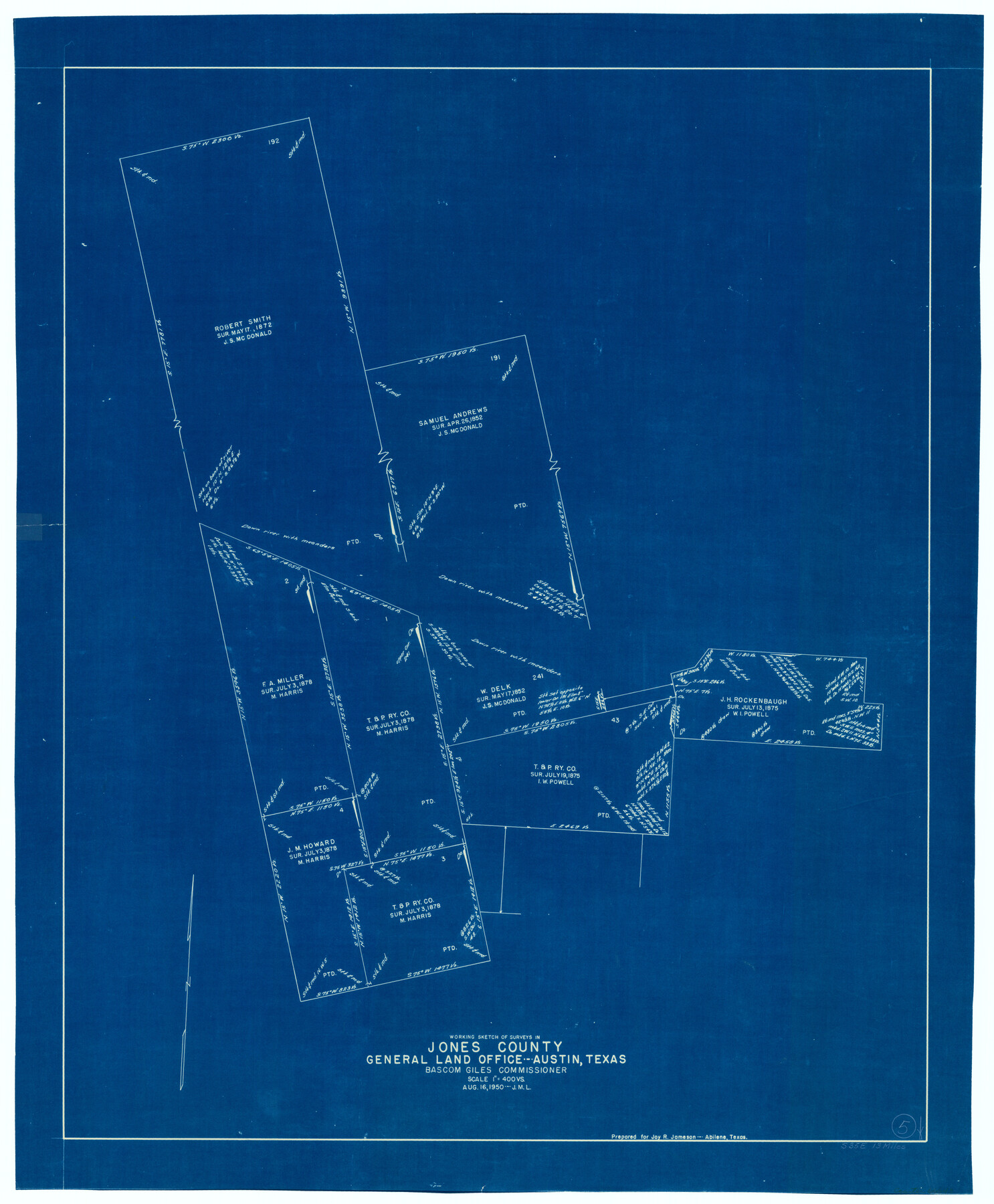
Jones County Working Sketch 5
-
Map/Doc
66643
-
Collection
General Map Collection
-
Object Dates
8/16/1950 (Creation Date)
-
Counties
Jones
-
Subjects
Surveying Working Sketch
-
Height x Width
35.5 x 29.3 inches
90.2 x 74.4 cm
-
Scale
1" = 400 varas
Part of: General Map Collection
Aransas County Boundary File 5b

Print $8.00
- Digital $50.00
Aransas County Boundary File 5b
Size 14.3 x 8.8 inches
Map/Doc 49802
Stonewall County Rolled Sketch 9

Print $20.00
- Digital $50.00
Stonewall County Rolled Sketch 9
Size 35.8 x 30.8 inches
Map/Doc 7865
[Sketch for Mineral Application 16696-16697, Pecos River]
![76024, [Sketch for Mineral Application 16696-16697, Pecos River], General Map Collection](https://historictexasmaps.com/wmedia_w700/maps/76024.tif.jpg)
Print $40.00
- Digital $50.00
[Sketch for Mineral Application 16696-16697, Pecos River]
Size 44.0 x 126.6 inches
Map/Doc 76024
Menard County Rolled Sketch 9

Print $20.00
- Digital $50.00
Menard County Rolled Sketch 9
Size 36.0 x 34.1 inches
Map/Doc 6756
Hamilton County Boundary File 4

Print $60.00
- Digital $50.00
Hamilton County Boundary File 4
Size 9.2 x 8.1 inches
Map/Doc 54205
Brown County Sketch File X

Print $4.00
- Digital $50.00
Brown County Sketch File X
1882
Size 8.1 x 11.7 inches
Map/Doc 16580
Hunt County Sketch File 14

Print $4.00
- Digital $50.00
Hunt County Sketch File 14
1851
Size 8.5 x 15.2 inches
Map/Doc 27107
Morris County Rolled Sketch 2A

Print $3.00
- Digital $50.00
Morris County Rolled Sketch 2A
Size 12.1 x 10.5 inches
Map/Doc 10233
Map of Marion County

Print $20.00
- Digital $50.00
Map of Marion County
1901
Size 29.6 x 44.3 inches
Map/Doc 4783
Photo Index of Texas Coast - Sheet 6 of 6

Print $20.00
- Digital $50.00
Photo Index of Texas Coast - Sheet 6 of 6
1954
Size 20.0 x 24.0 inches
Map/Doc 83444
Amistad International Reservoir on Rio Grande 92

Print $20.00
- Digital $50.00
Amistad International Reservoir on Rio Grande 92
1950
Size 28.5 x 40.6 inches
Map/Doc 75522
Galveston County NRC Article 33.136 Sketch 78

Print $24.00
- Digital $50.00
Galveston County NRC Article 33.136 Sketch 78
2015
Size 36.0 x 24.0 inches
Map/Doc 95129
You may also like
Crosby County Sketch File 2

Print $22.00
- Digital $50.00
Crosby County Sketch File 2
Size 8.5 x 9.9 inches
Map/Doc 19991
Burleson County

Print $20.00
- Digital $50.00
Burleson County
1920
Size 40.6 x 45.7 inches
Map/Doc 4896
A New and Correct Map of North America, with the West India Islands

Print $20.00
- Digital $50.00
A New and Correct Map of North America, with the West India Islands
1784
Size 44.0 x 52.2 inches
Map/Doc 93828
Edwards County Boundary File 27 1/2

Print $58.00
- Digital $50.00
Edwards County Boundary File 27 1/2
Size 9.1 x 4.4 inches
Map/Doc 52911
Uvalde County Working Sketch 23

Print $20.00
- Digital $50.00
Uvalde County Working Sketch 23
1952
Size 32.0 x 26.6 inches
Map/Doc 72093
Flight Mission No. BQY-4M, Frame 37, Harris County

Print $20.00
- Digital $50.00
Flight Mission No. BQY-4M, Frame 37, Harris County
1953
Size 18.6 x 22.3 inches
Map/Doc 85252
Comanche County Working Sketch 29

Print $20.00
- Digital $50.00
Comanche County Working Sketch 29
1986
Size 29.3 x 37.8 inches
Map/Doc 68163
Brewster County Rolled Sketch 20

Print $20.00
- Digital $50.00
Brewster County Rolled Sketch 20
Size 31.4 x 28.2 inches
Map/Doc 5199
Webb County Sketch File B2

Print $4.00
- Digital $50.00
Webb County Sketch File B2
1909
Size 13.9 x 8.1 inches
Map/Doc 39656
Flight Mission No. DAG-24K, Frame 124, Matagorda County

Print $20.00
- Digital $50.00
Flight Mission No. DAG-24K, Frame 124, Matagorda County
1953
Size 18.4 x 22.3 inches
Map/Doc 86542
Brooks County Rolled Sketch 11

Print $20.00
- Digital $50.00
Brooks County Rolled Sketch 11
1906
Size 29.0 x 28.4 inches
Map/Doc 5337
Township No. 1 North Range No. 27 West Indian Meridian

Print $20.00
- Digital $50.00
Township No. 1 North Range No. 27 West Indian Meridian
1875
Size 19.3 x 24.6 inches
Map/Doc 75170