[Sketch for Mineral Application 16696-16697, Pecos River]
K-1-43 (a-c)
-
Map/Doc
76024
-
Collection
General Map Collection
-
Height x Width
44.0 x 126.6 inches
111.8 x 321.6 cm
Part of: General Map Collection
Goliad County Sketch File 26a


Print $10.00
- Digital $50.00
Goliad County Sketch File 26a
Size 12.8 x 8.3 inches
Map/Doc 24321
Jackson County Working Sketch 10
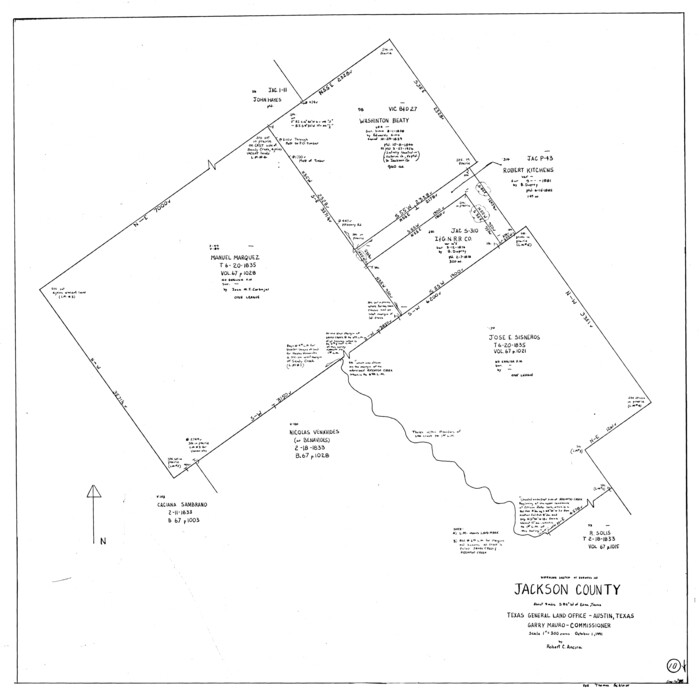

Print $20.00
- Digital $50.00
Jackson County Working Sketch 10
1991
Size 35.9 x 36.1 inches
Map/Doc 66458
Young County Sketch File 10b
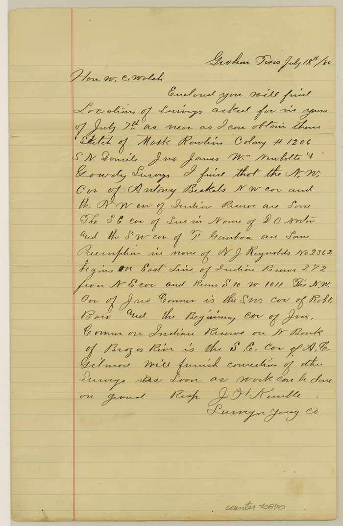

Print $4.00
- Digital $50.00
Young County Sketch File 10b
1880
Size 12.9 x 8.4 inches
Map/Doc 40870
Victoria County Working Sketch 3


Print $20.00
- Digital $50.00
Victoria County Working Sketch 3
1939
Size 14.0 x 18.3 inches
Map/Doc 72273
Montague County Rolled Sketch 8
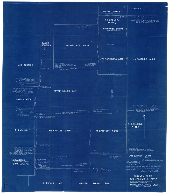

Print $20.00
- Digital $50.00
Montague County Rolled Sketch 8
Size 25.4 x 21.8 inches
Map/Doc 6792
Burleson County Working Sketch 28
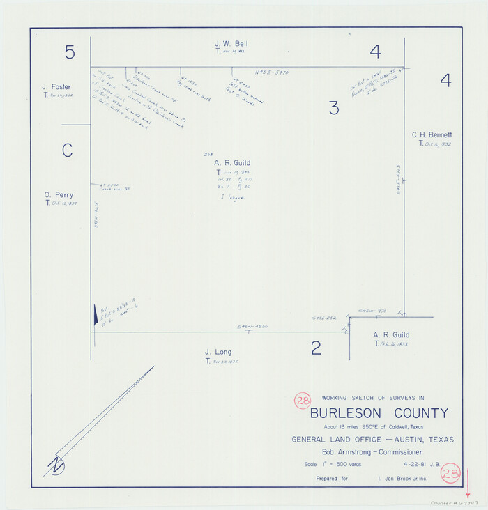

Print $20.00
- Digital $50.00
Burleson County Working Sketch 28
1981
Size 17.8 x 17.0 inches
Map/Doc 67747
Harris County Working Sketch 54
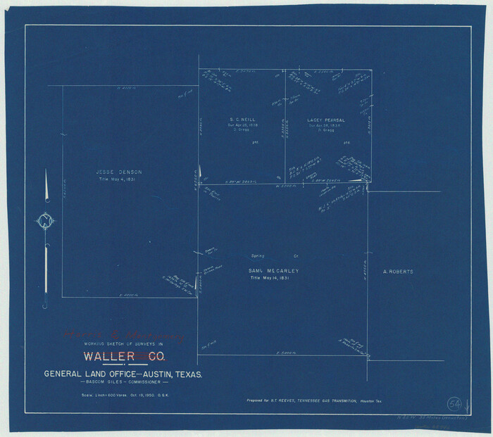

Print $20.00
- Digital $50.00
Harris County Working Sketch 54
1950
Size 21.3 x 24.1 inches
Map/Doc 65946
Dimmit County Sketch File 7

Print $25.00
- Digital $50.00
Dimmit County Sketch File 7
Size 9.1 x 7.8 inches
Map/Doc 21067
Flight Mission No. CRE-1R, Frame 133, Jackson County
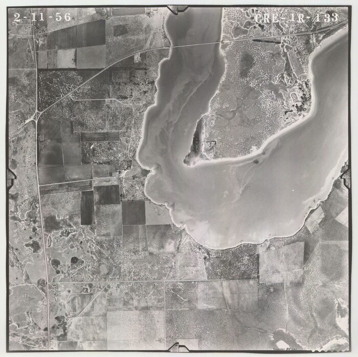

Print $20.00
- Digital $50.00
Flight Mission No. CRE-1R, Frame 133, Jackson County
1956
Size 16.2 x 16.2 inches
Map/Doc 85341
Calhoun County Rolled Sketch 14


Print $20.00
- Digital $50.00
Calhoun County Rolled Sketch 14
Size 22.3 x 40.8 inches
Map/Doc 5456
Burnet County Sketch File 36
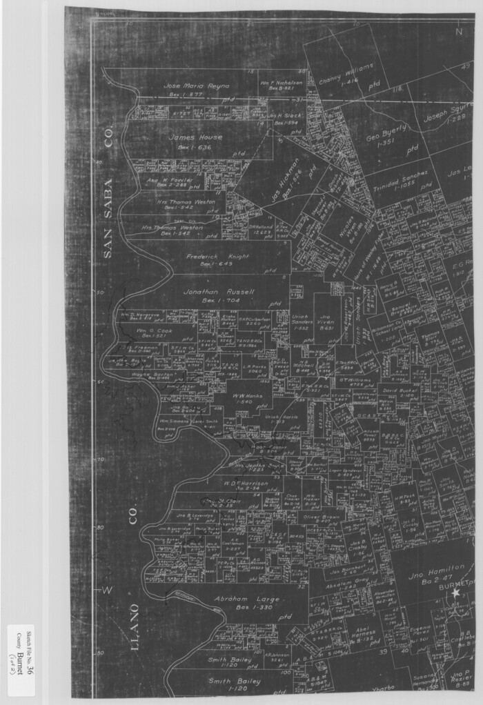

Print $60.00
- Digital $50.00
Burnet County Sketch File 36
1935
Size 25.7 x 17.6 inches
Map/Doc 11025
You may also like
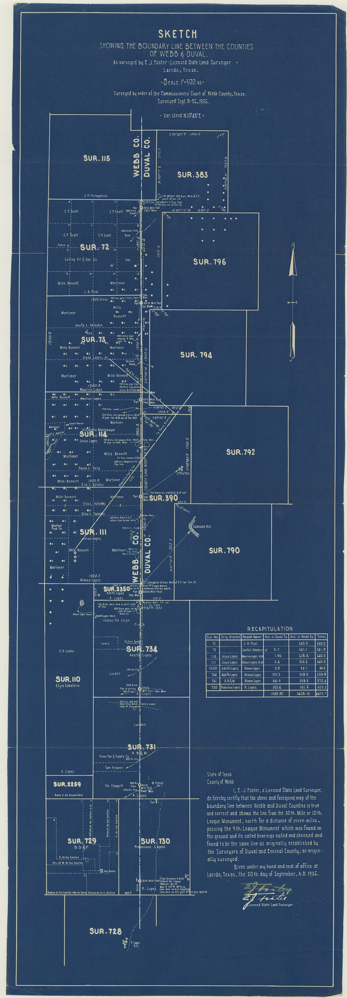
Duval County Boundary File 4

Print $40.00
- Digital $50.00
Duval County Boundary File 4
Size 39.5 x 13.7 inches
Map/Doc 52767
Jim Hogg County Sketch File 6a


Print $6.00
- Digital $50.00
Jim Hogg County Sketch File 6a
1939
Size 11.1 x 8.7 inches
Map/Doc 28408
[Sketch showing Randall County School Land Leagues and Vicinity]
![89731, [Sketch showing Randall County School Land Leagues and Vicinity], Twichell Survey Records](https://historictexasmaps.com/wmedia_w700/maps/89731-1.tif.jpg)
![89731, [Sketch showing Randall County School Land Leagues and Vicinity], Twichell Survey Records](https://historictexasmaps.com/wmedia_w700/maps/89731-1.tif.jpg)
Print $40.00
- Digital $50.00
[Sketch showing Randall County School Land Leagues and Vicinity]
Size 22.6 x 52.4 inches
Map/Doc 89731
Coryell County Working Sketch 19


Print $20.00
- Digital $50.00
Coryell County Working Sketch 19
1970
Size 38.7 x 33.2 inches
Map/Doc 68226
Upshur County Working Sketch 17

Print $40.00
- Digital $50.00
Upshur County Working Sketch 17
1997
Size 48.4 x 37.1 inches
Map/Doc 69575
Nolan County Sketch File 17

Print $6.00
- Digital $50.00
Nolan County Sketch File 17
1940
Size 17.9 x 10.1 inches
Map/Doc 32487
Mills County Working Sketch 13


Print $20.00
- Digital $50.00
Mills County Working Sketch 13
1943
Size 27.4 x 28.7 inches
Map/Doc 71043
Freestone County Boundary File 1


Print $6.00
- Digital $50.00
Freestone County Boundary File 1
Size 14.2 x 8.8 inches
Map/Doc 53585
[Block 37, Townships 1 and 2 North]
![91363, [Block 37, Townships 1 and 2 North], Twichell Survey Records](https://historictexasmaps.com/wmedia_w700/maps/91363-1.tif.jpg)
![91363, [Block 37, Townships 1 and 2 North], Twichell Survey Records](https://historictexasmaps.com/wmedia_w700/maps/91363-1.tif.jpg)
Print $20.00
- Digital $50.00
[Block 37, Townships 1 and 2 North]
Size 19.7 x 40.9 inches
Map/Doc 91363
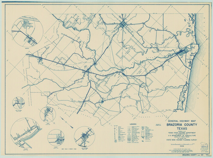
General Highway Map, Brazoria County, Texas

Print $20.00
General Highway Map, Brazoria County, Texas
1939
Size 18.6 x 25.0 inches
Map/Doc 79024
Hockley County


Print $20.00
- Digital $50.00
Hockley County
1954
Size 42.9 x 38.9 inches
Map/Doc 1856
![76024, [Sketch for Mineral Application 16696-16697, Pecos River], General Map Collection](https://historictexasmaps.com/wmedia_w1800h1800/maps/76024.tif.jpg)

![92619, [Hart Townsite], Twichell Survey Records](https://historictexasmaps.com/wmedia_w700/maps/92619-1.tif.jpg)