Crosby County Sketch File 2
[Sketch of large area in the southwest corner of Crosby County and adjacent counties]
-
Map/Doc
19991
-
Collection
General Map Collection
-
Object Dates
1/8/1880 (File Date)
-
Counties
Crosby Garza Lynn Lubbock
-
Subjects
Surveying Sketch File
-
Height x Width
8.5 x 9.9 inches
21.6 x 25.2 cm
-
Medium
paper, manuscript
-
Features
Plum Creek
North Fork of Double Mountain Fork of Brazos River
Part of: General Map Collection
Hudspeth County Sketch File 28


Print $20.00
- Digital $50.00
Hudspeth County Sketch File 28
1943
Size 15.3 x 21.4 inches
Map/Doc 11803
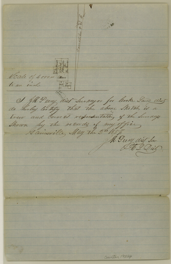
Cooke County Sketch File 5

Print $4.00
- Digital $50.00
Cooke County Sketch File 5
1857
Size 12.7 x 8.2 inches
Map/Doc 19226
Real County Working Sketch 6
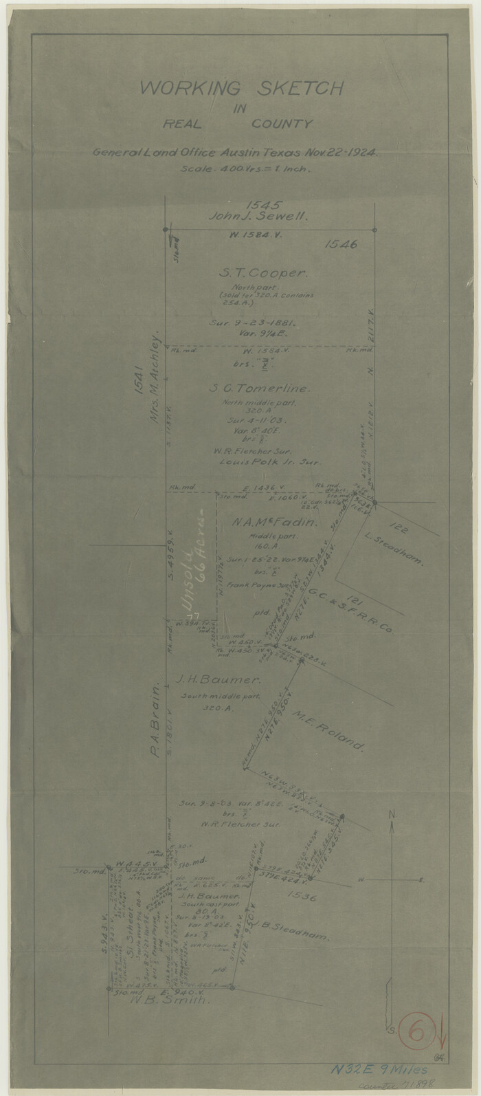

Print $20.00
- Digital $50.00
Real County Working Sketch 6
1924
Size 21.2 x 9.3 inches
Map/Doc 71898
Flight Mission No. BQR-16K, Frame 31, Brazoria County

Print $20.00
- Digital $50.00
Flight Mission No. BQR-16K, Frame 31, Brazoria County
1952
Size 18.5 x 22.1 inches
Map/Doc 84098
Padre Island National Seashore


Print $4.00
- Digital $50.00
Padre Island National Seashore
Size 16.0 x 22.1 inches
Map/Doc 60528
Stephens County Working Sketch 16


Print $20.00
- Digital $50.00
Stephens County Working Sketch 16
1968
Size 21.4 x 30.4 inches
Map/Doc 63959
Webb County Rolled Sketch 69
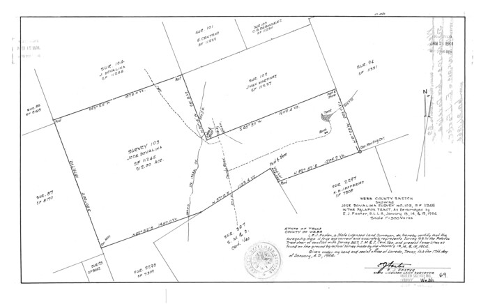

Print $20.00
- Digital $50.00
Webb County Rolled Sketch 69
1964
Size 13.9 x 22.3 inches
Map/Doc 8216
Midland County
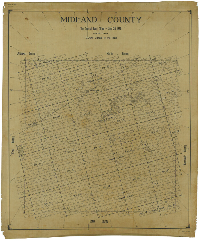

Print $20.00
- Digital $50.00
Midland County
1930
Size 45.7 x 39.6 inches
Map/Doc 66930
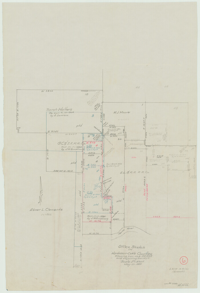
Hardeman County Working Sketch 6

Print $20.00
- Digital $50.00
Hardeman County Working Sketch 6
1944
Size 25.9 x 17.8 inches
Map/Doc 63387
Liberty County Sketch File 18

Print $6.00
- Digital $50.00
Liberty County Sketch File 18
1859
Size 8.0 x 9.2 inches
Map/Doc 29920
Martin County Rolled Sketch 9


Print $20.00
- Digital $50.00
Martin County Rolled Sketch 9
1990
Size 17.3 x 11.4 inches
Map/Doc 6669
Padre Island, Register No. 1485a


Print $40.00
- Digital $50.00
Padre Island, Register No. 1485a
1881
Size 55.7 x 36.7 inches
Map/Doc 73609
You may also like
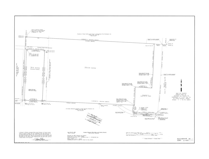
El Paso County Rolled Sketch 62

Print $20.00
- Digital $50.00
El Paso County Rolled Sketch 62
Size 30.0 x 39.4 inches
Map/Doc 5854
Map of Jack County


Print $20.00
- Digital $50.00
Map of Jack County
1868
Size 23.8 x 19.8 inches
Map/Doc 3701
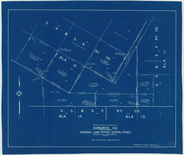
Edwards County Working Sketch 49

Print $20.00
- Digital $50.00
Edwards County Working Sketch 49
1950
Size 23.6 x 28.1 inches
Map/Doc 68925
Frio County Working Sketch 21

Print $20.00
- Digital $50.00
Frio County Working Sketch 21
1985
Size 46.1 x 43.5 inches
Map/Doc 69295
Colorado County Working Sketch 33

Print $20.00
- Digital $50.00
Colorado County Working Sketch 33
1988
Size 38.7 x 32.4 inches
Map/Doc 68133
The Chief Justice County of Red River. Lands in Conflict with Nacogdoches County

Print $20.00
The Chief Justice County of Red River. Lands in Conflict with Nacogdoches County
2020
Size 17.4 x 21.8 inches
Map/Doc 96066
Real County Working Sketch 51


Print $20.00
- Digital $50.00
Real County Working Sketch 51
1957
Size 28.1 x 24.1 inches
Map/Doc 71943
Palo Pinto County Sketch File 23

Print $20.00
- Digital $50.00
Palo Pinto County Sketch File 23
1949
Size 23.5 x 15.4 inches
Map/Doc 12135
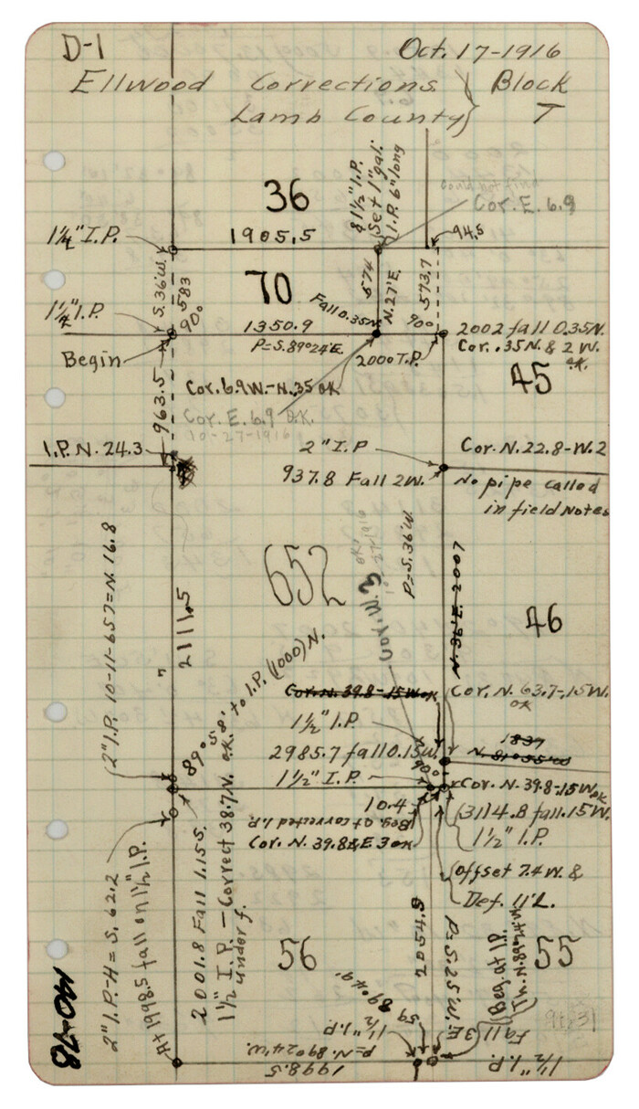
Ellwood Corrections, Block T

Print $2.00
- Digital $50.00
Ellwood Corrections, Block T
Size 4.0 x 7.0 inches
Map/Doc 90952
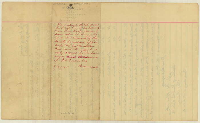
La Salle County Boundary File 1

Print $24.00
- Digital $50.00
La Salle County Boundary File 1
Size 8.7 x 14.2 inches
Map/Doc 56239
